You Might Like
-
Charming House with Garden Illustration -
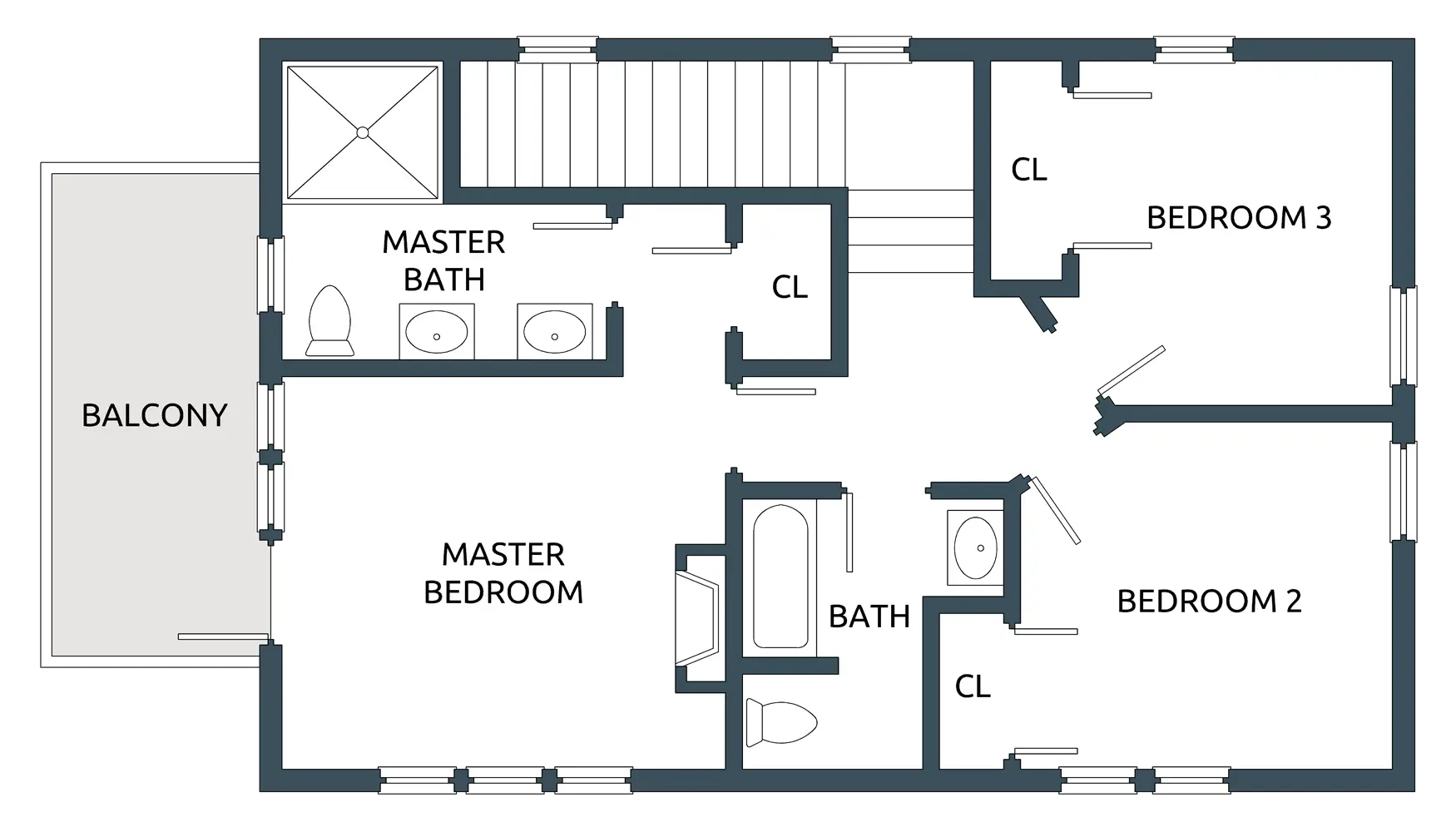
House Floor Plan with Three Bedrooms -

Traditional House with Lanterns -

Simple Black House Icon with Chimney -
Collapsing Building with Debris and Running Person -

City Skyline Silhouette Art -
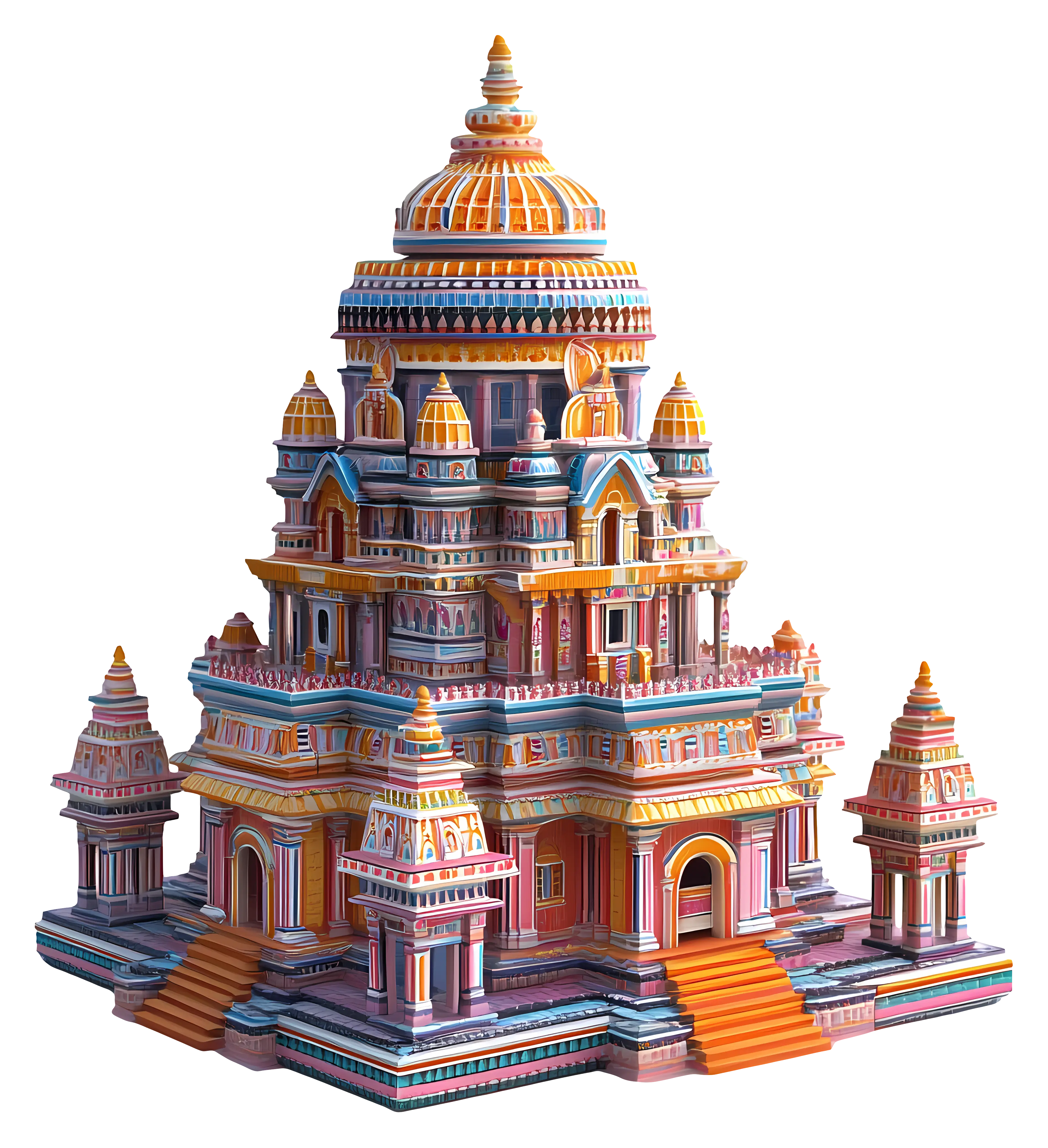
Colorful Heritage Temple -
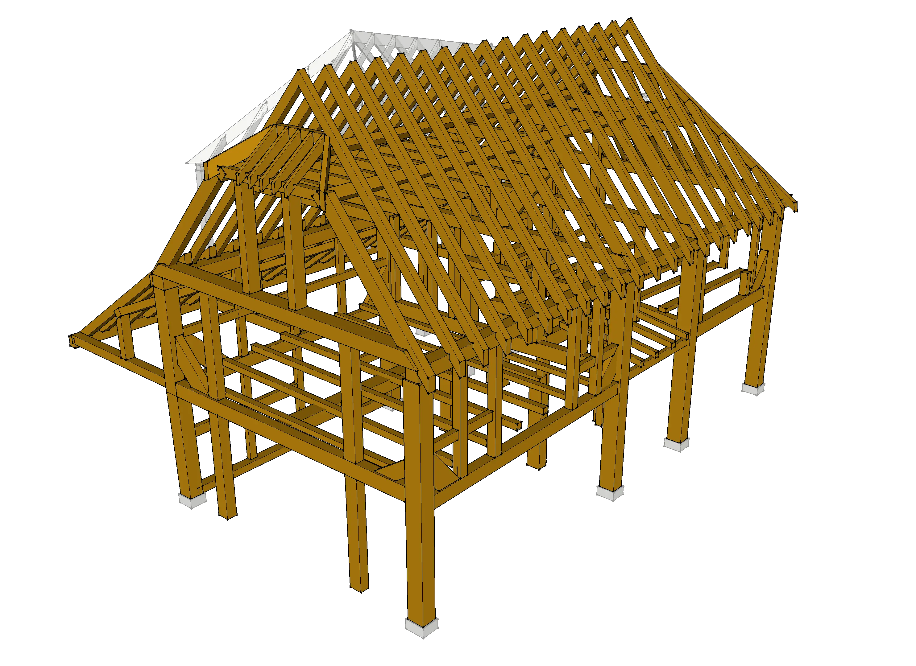
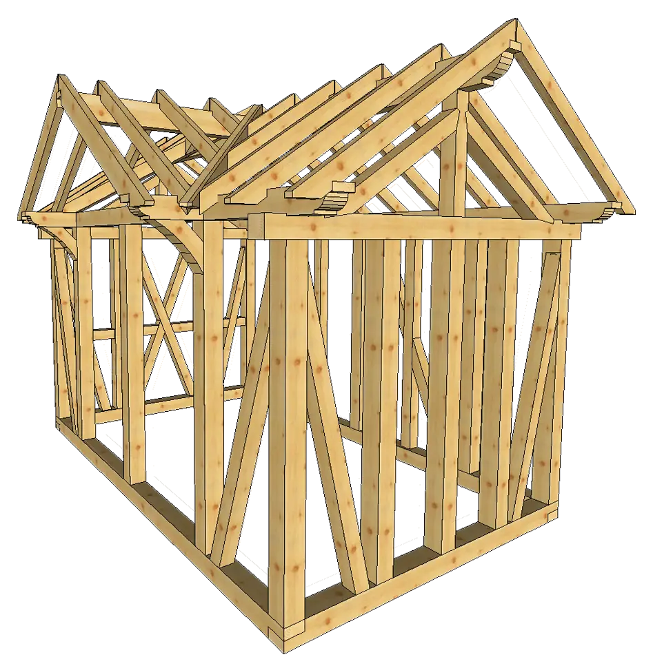
Wooden House Frame for Construction -

Colorful Mosque Illustration for Eid Celebration -

Modern Blue Skyscraper Icon -
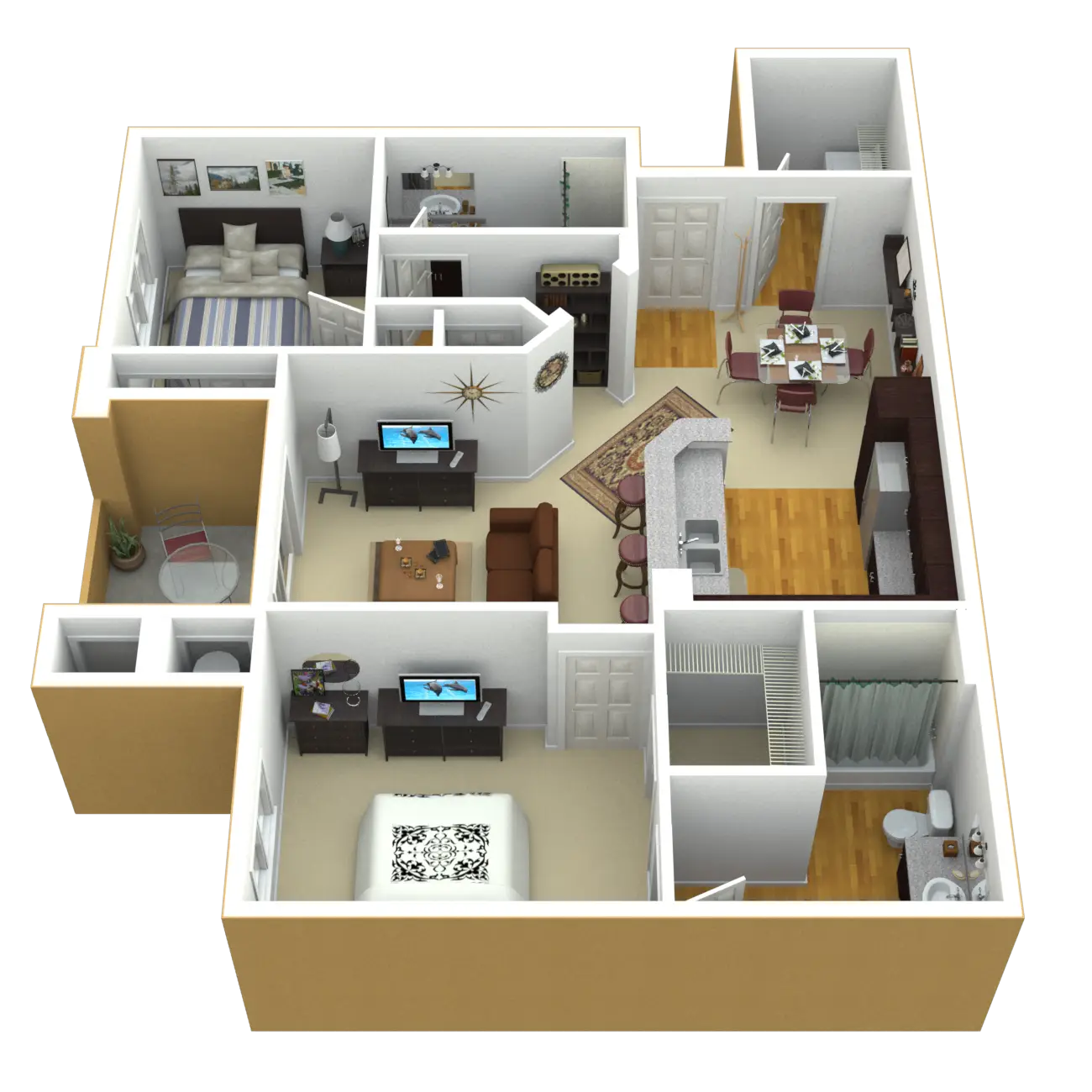
3D Apartment Layout Design -
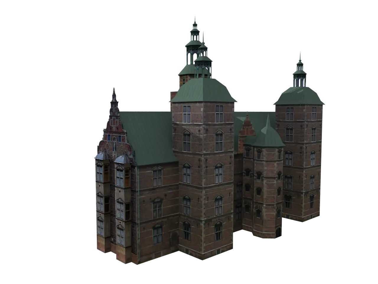
Model of a Historical Castle -

School Building with Clock on Facade -
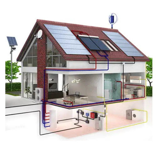
Energy Efficient House with Solar Panels -
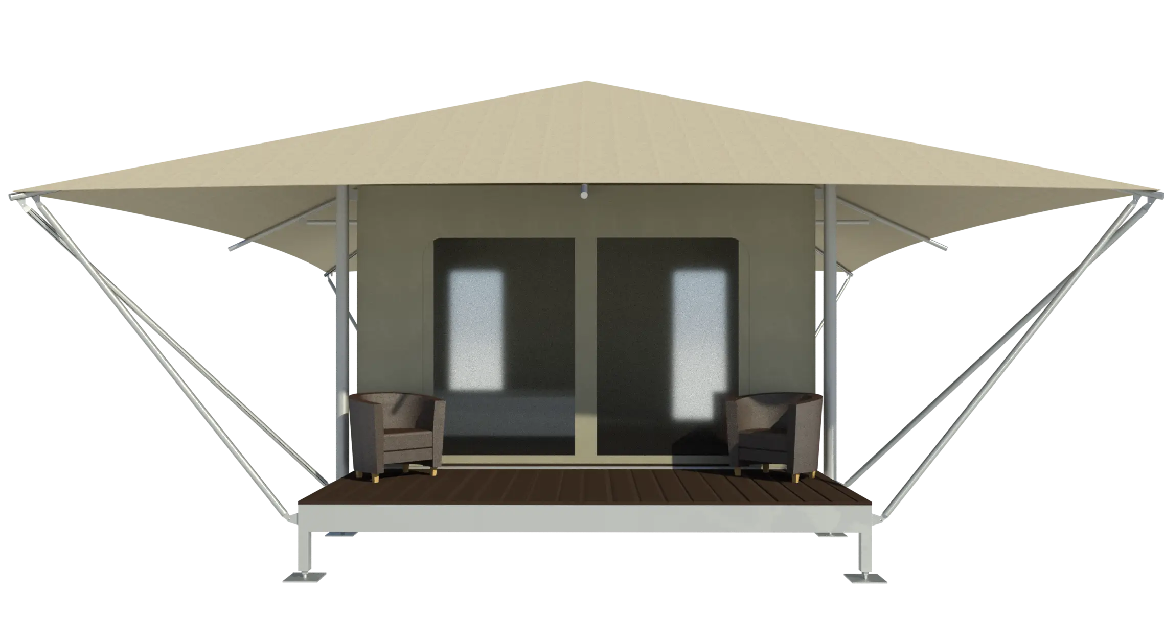
Modern Tent House Design -
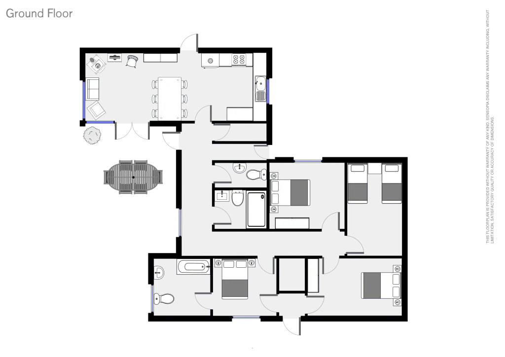
Ground Floor Plan Diagram Illustration -

Cartoon Cute House with Green Garden -

Small Cute Doodle House -
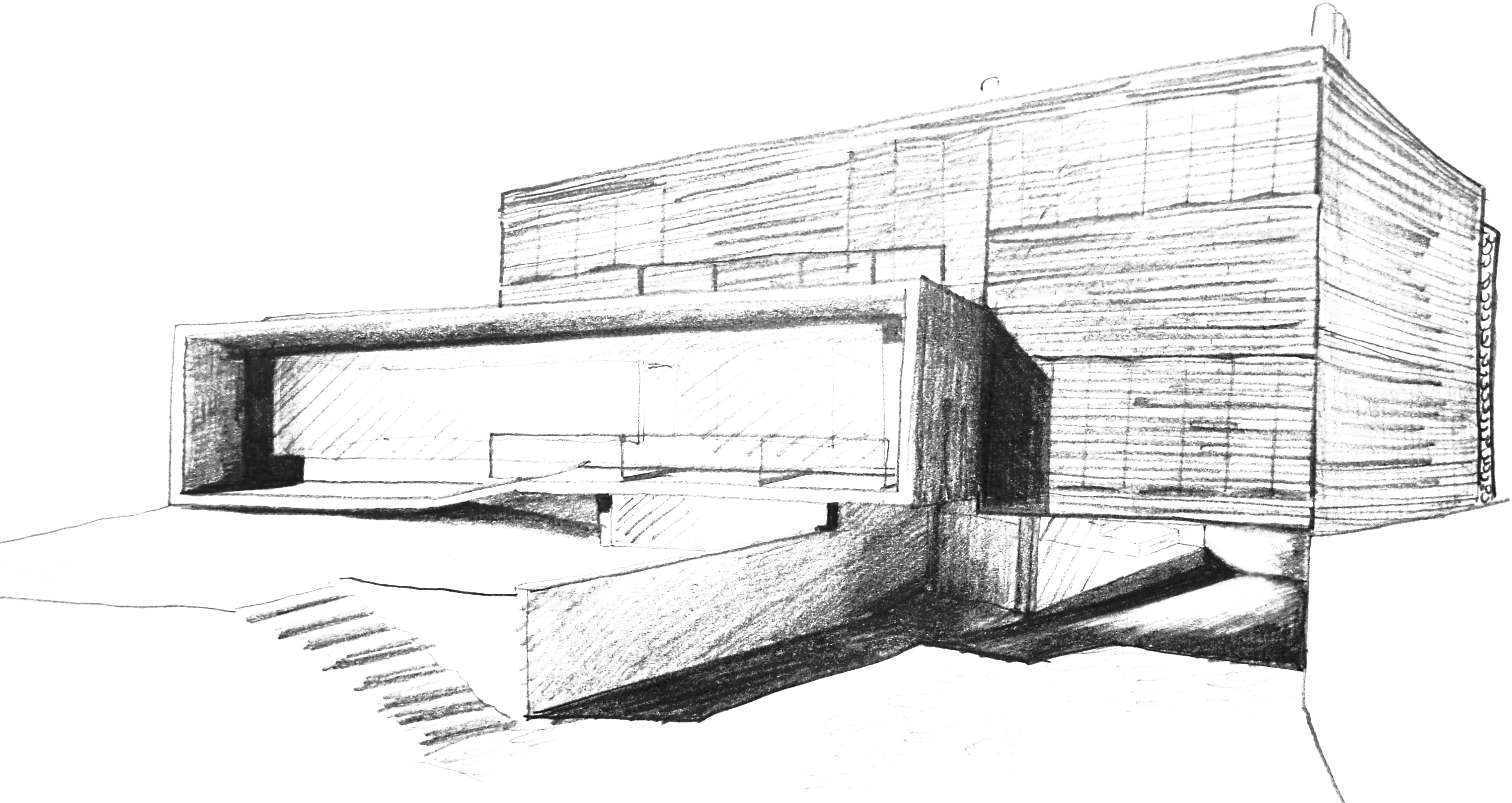
Modern Architectural Sketch Drawing -

House Drawing with Red Bow Decoration -
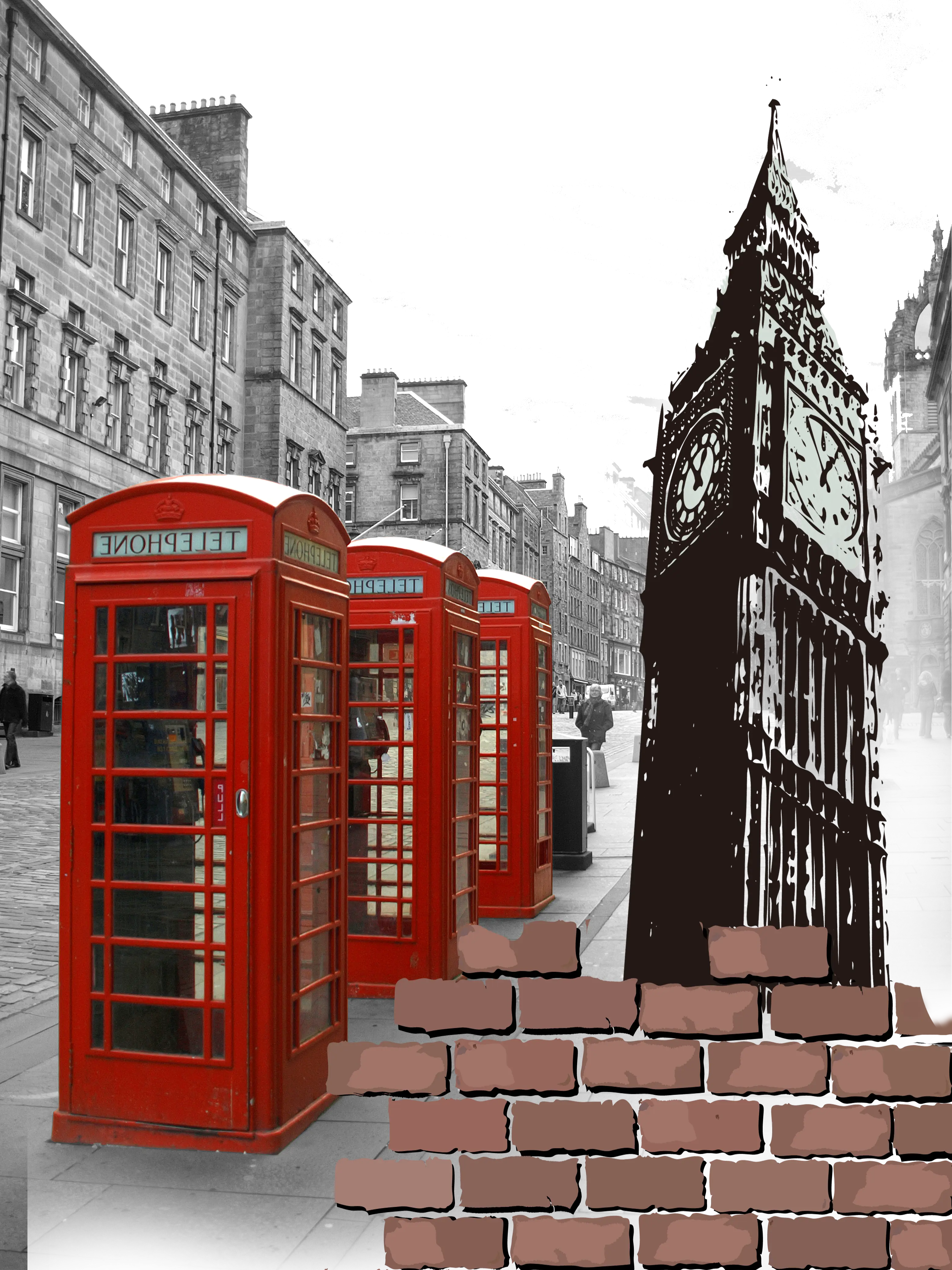
Red Telephone Booths and Big Ben in London -

Colorful Bicycle Illustration for Fun Designs -
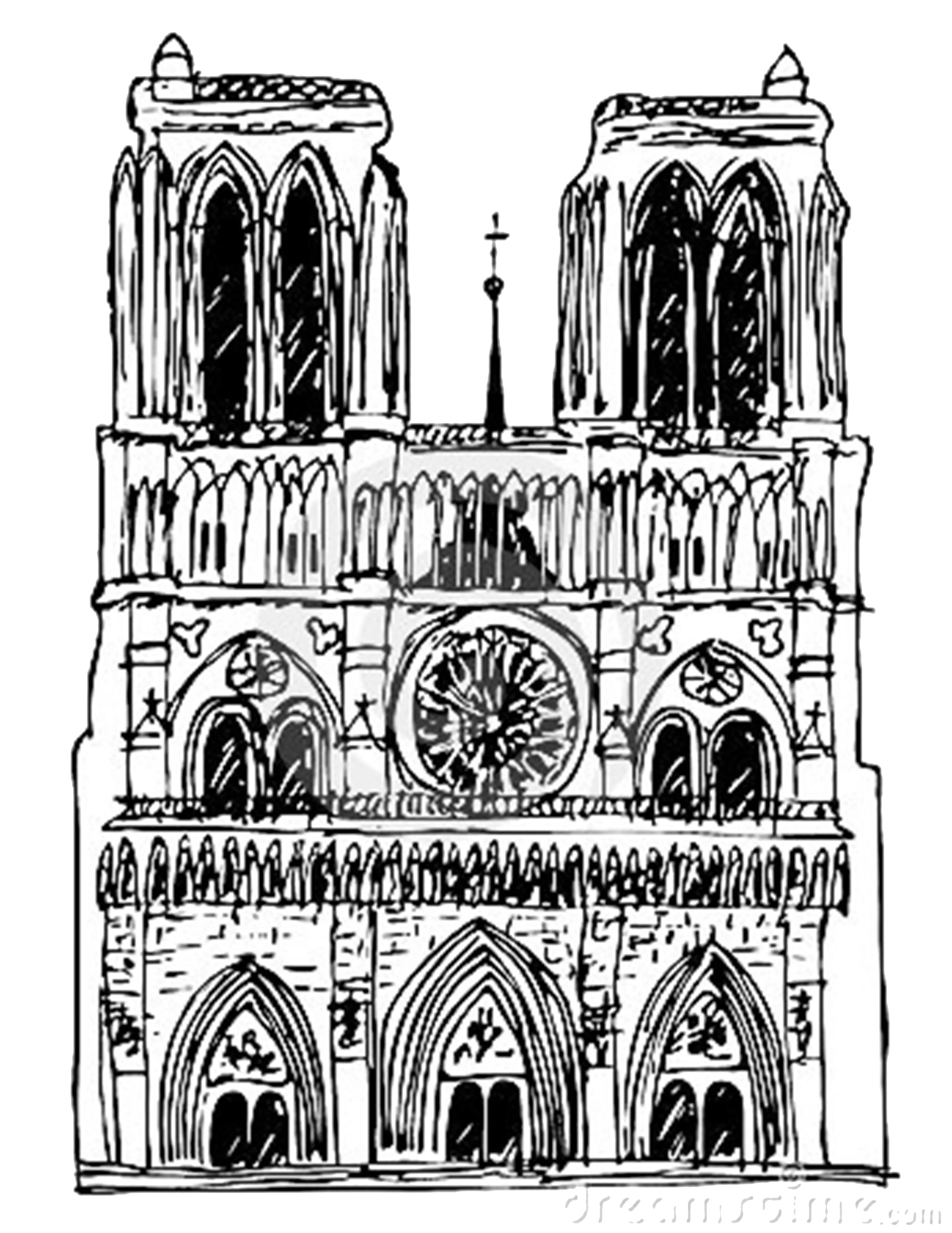
Detailed Sketch of a Cathedral -

Traditional Asian Pagoda -

Spooky Haunted House -

Black Outline Cathedral Building -

Modern Blue Building on Green Hill -

Eiffel Tower Illustration -
Wooden House Frame Structure -

Modern Cityscape Illustration