You Might Like
-
White Cloud Blur Graphic Element -

Colored Regional Map of Africa -

Purple Crescent Moon on Clear Background -

Park Bench with Lamp Post and Trees in the Background -

Beautiful Nature Scene with Lake and Forest -

Illustration of a Snowball -

Team with Growth Graph Illustration -

Lush Green Tree Illustration -

Lush Green Bush Illustration -
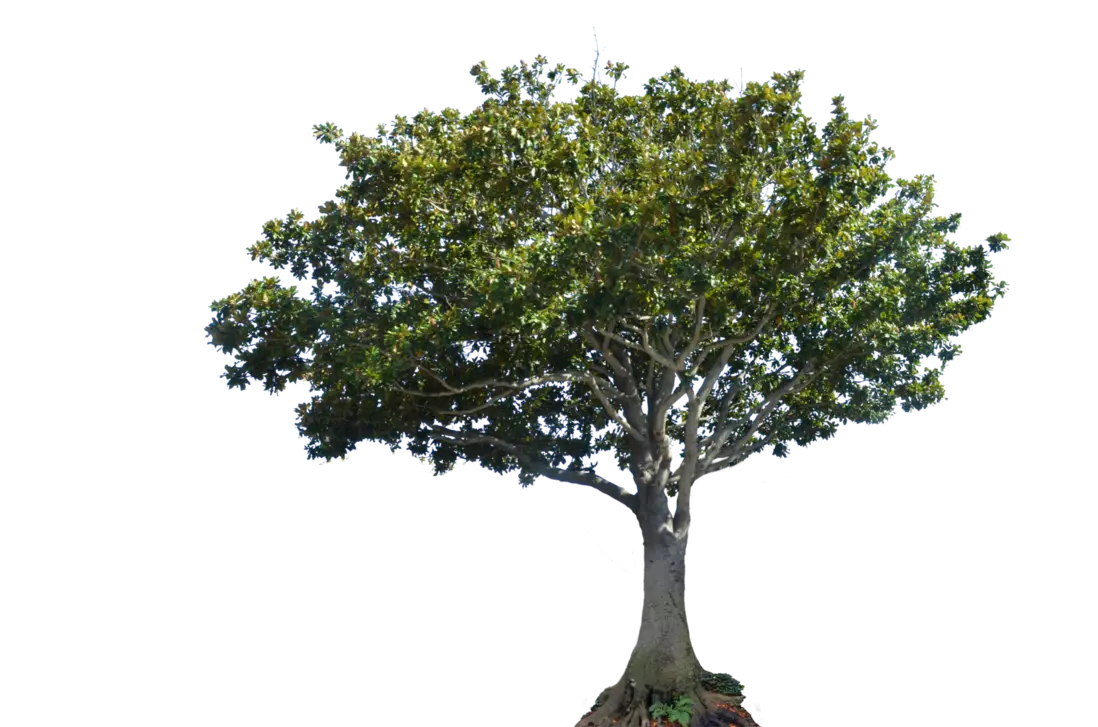
Broad-Spreading Tree with Elegant Canopy -

Colorful Geometric Sphere -
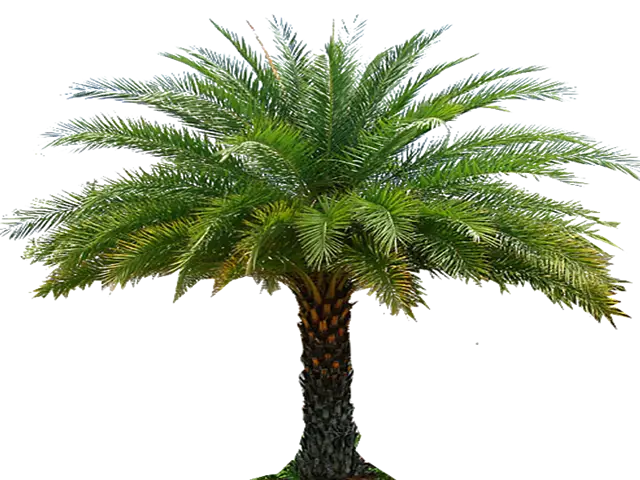
Beautiful Palm Tree with Green Leaves -
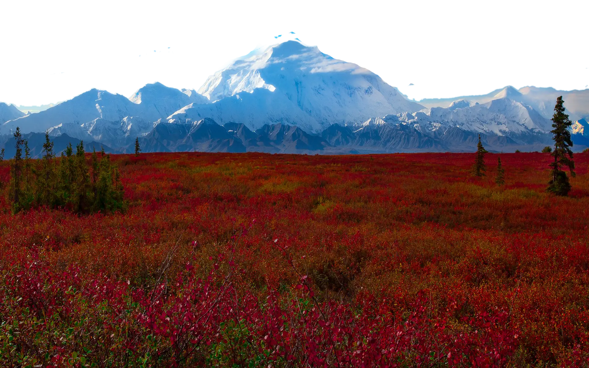
Snow-Capped Mountain Landscape -

Rainy Day in the Park -

Cartoon Style Windmill in Countryside -
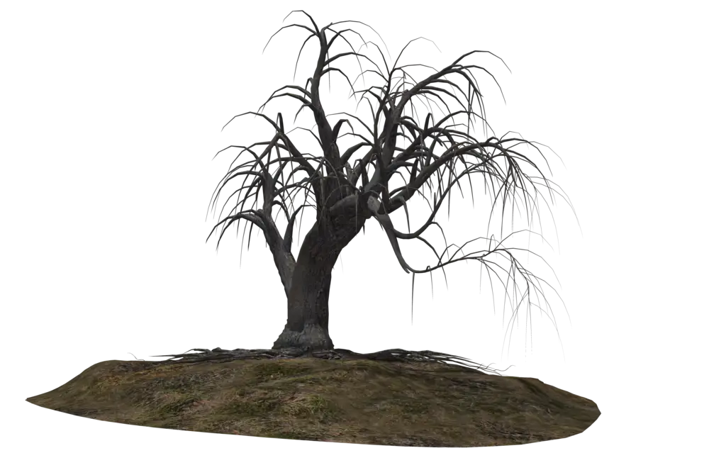
Barren Dead Tree on Soil -

Winter Landscape with Sunrise -

Various Devices Displaying Software -

Complete Blue World Map -

Instagram round gradient logo -

Icon of KPI Dashboard with Graph and Person -
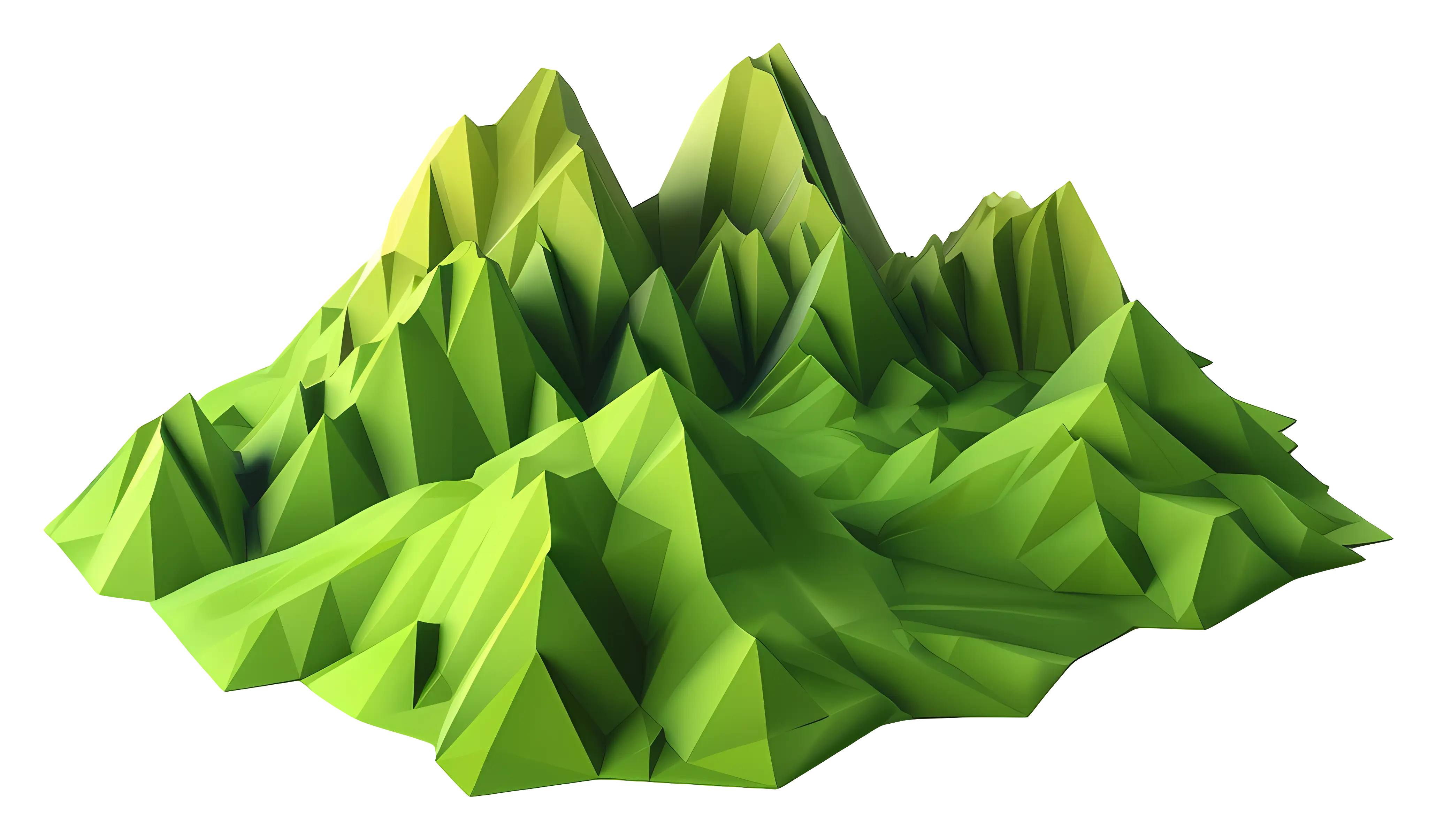
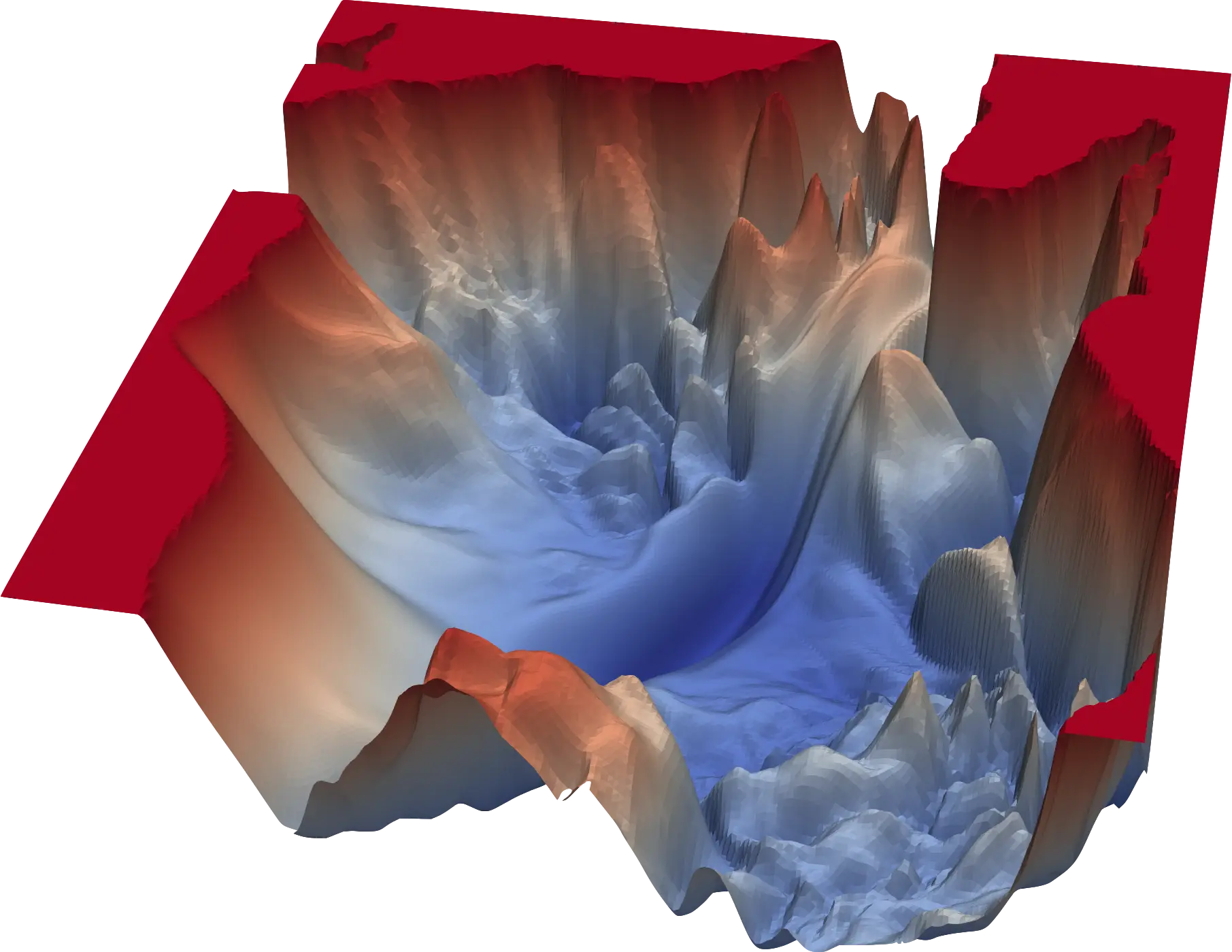
Polygonal Mountain Landscape -
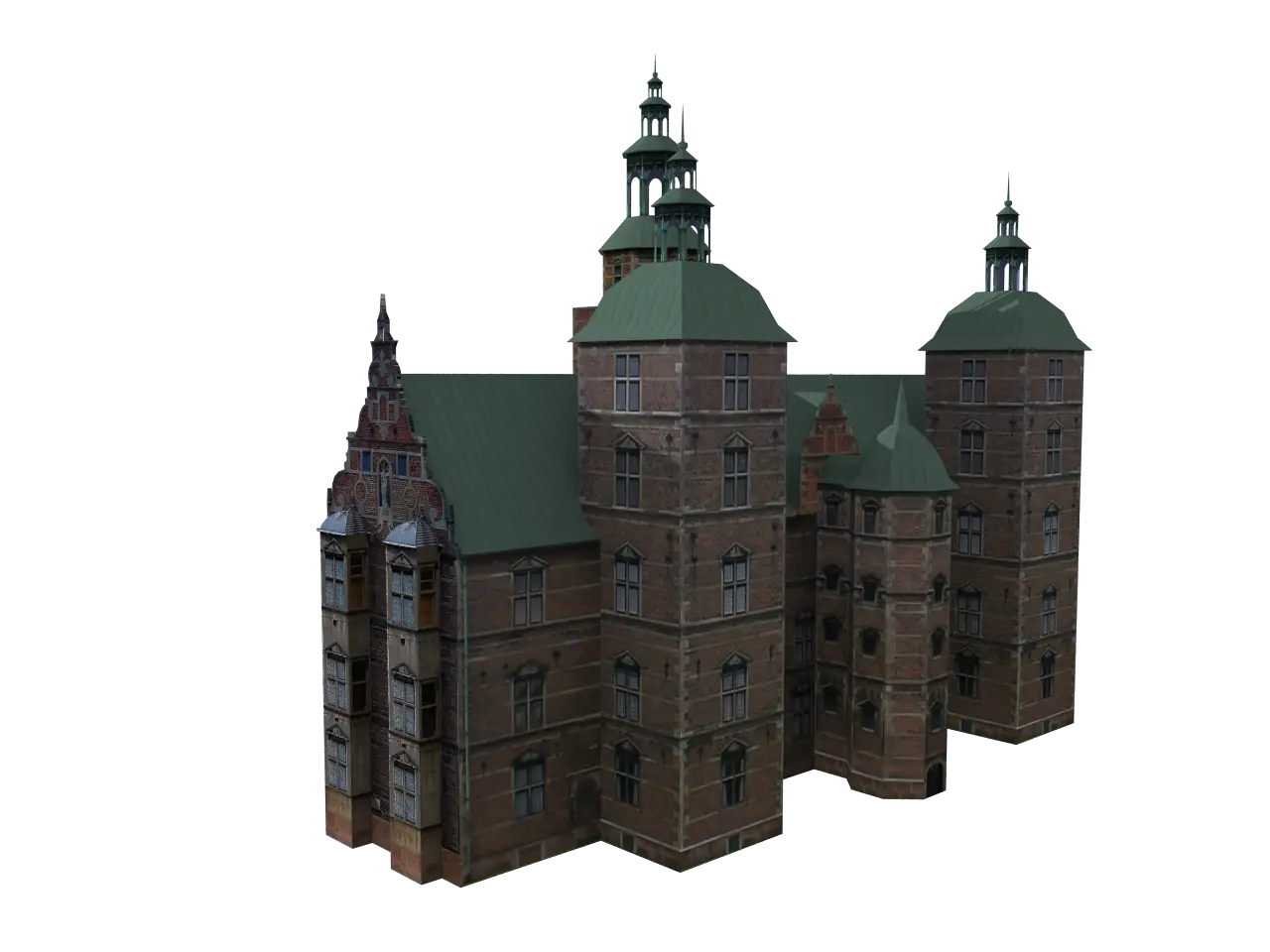
Model of a Historical Castle -

Green Tree Illustration with Brown Trunk -
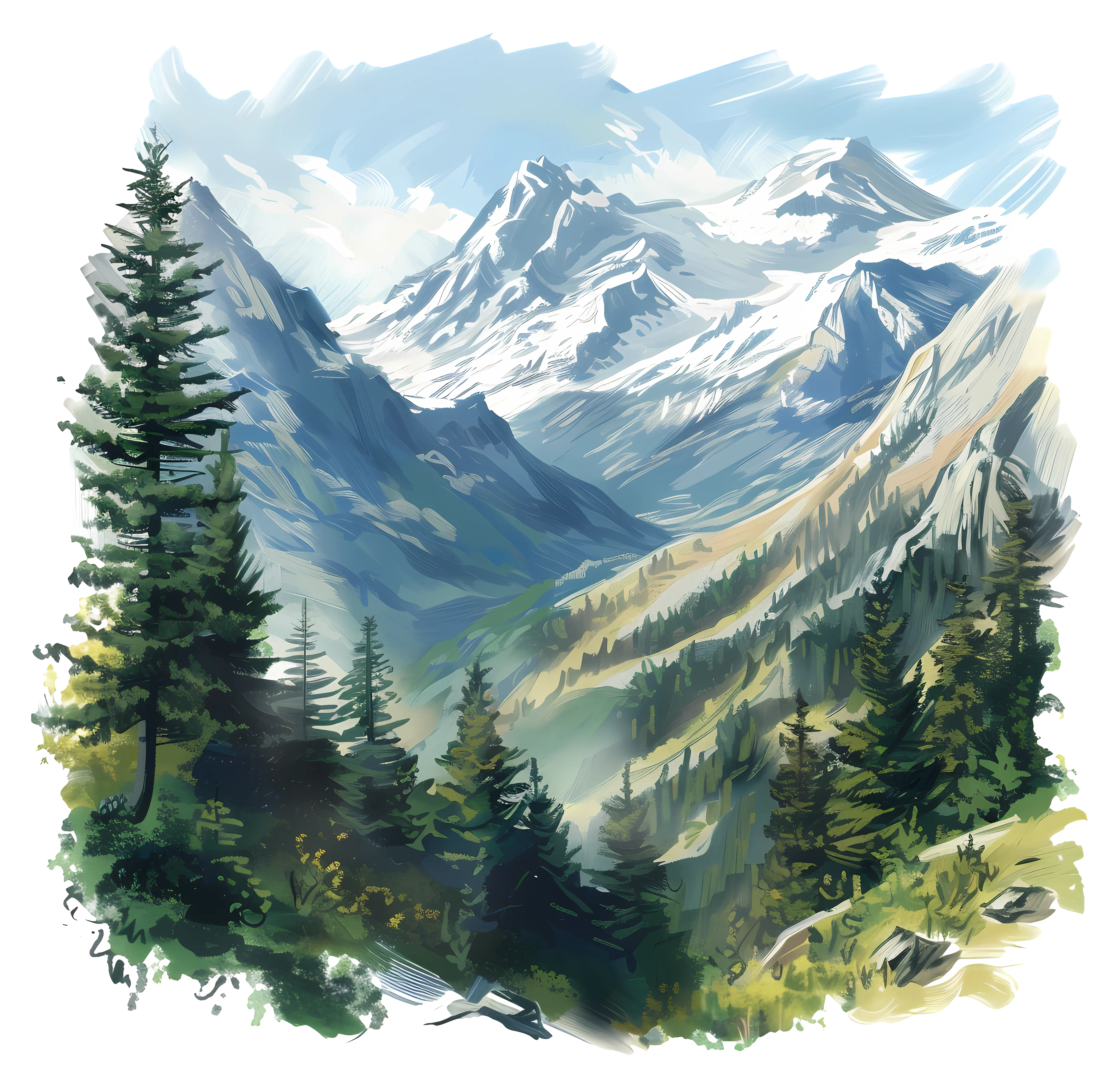
Serene Mountain Landscape Painting with Forest -

Black Feather with Smooth Texture -

Hot Air Balloon Over Scenic Landscape -

Garden Bench Illustration in a Lush Park -

Yellow Ethernet Cable for Network Connections -

Stylized Decorative Dolphin Illustration