You Might Like
-
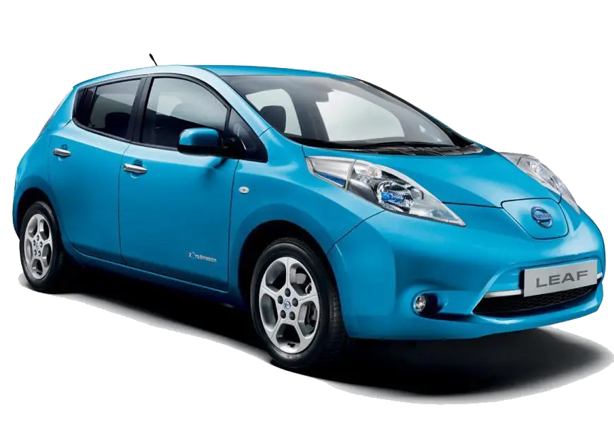
Blue Eco-Friendly Electric Car -

Digital Connector with Binary Code -

Cartoon Character on Toilet -
Telkom Indonesia Official Logo -

Bright Corn Cob Illustration -

Sleek Fighter Jet in Flight -

Blue Microsoft Edge Logo -

Collaboration in Programming with Computer Illustration -

Blue Globe Network Icon -

Black Smartphone Icon Design -

Red Adobe Logo -
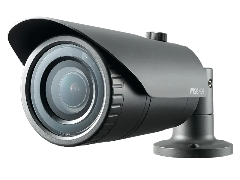
High-Definition Security Surveillance Camera -
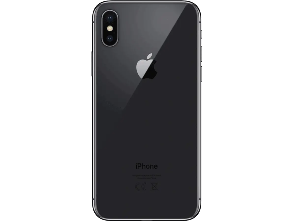
Black Smartphone Back View Design -
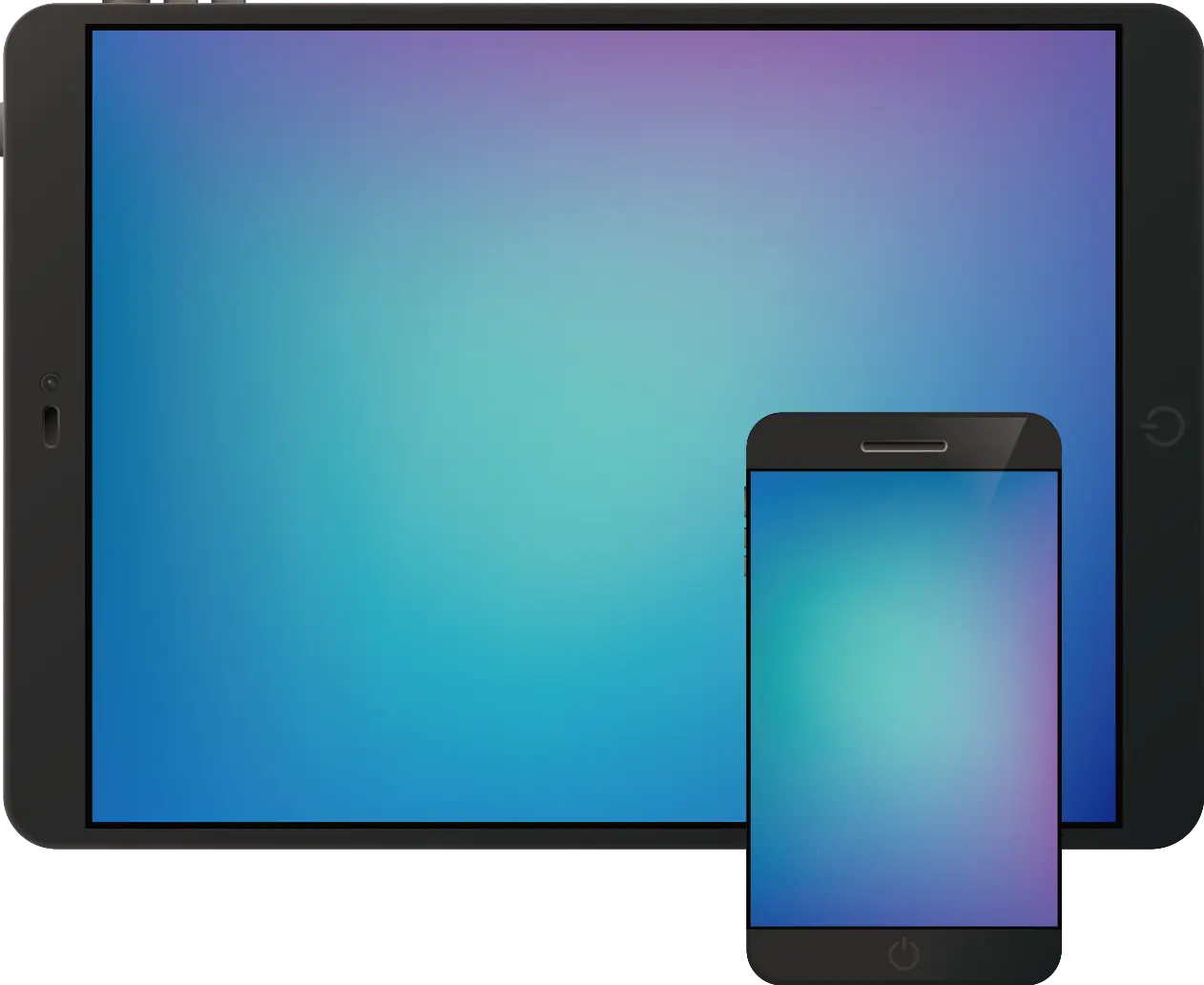
Tablet and Smartphone Technology -

Adobe Flash Logo -

Blue Game Controller Icon -

Satellite Dish Icon -
Computer Tower with Phone Icon -

Online Learning with Computer and Mouse -

Secure Laptop with Padlock Icon -

Silhouette of a Cow Illustration -

Free WiFi Area Logo -

Security Camera Icon -
Blue Walkie-Talkie Communication Device -

Businessman in a Suit Checking Phone -

Wooden Crate Filled with Fresh Cranberries -

Smart Home Control System with Temperature Display -
White BlackBerry Phone with Keyboard -

Innovative Light Bulb Illustration -

Futuristic Robot Head