You Might Like
-
Compact Black Handgun for Safety -
Modern Black Binoculars -

Arrow in Target for Archery -

Group of Flying Ladybugs -
High-Performance Mini Engine Design -
Red and Black Handheld Power Drill -
Metal Flange with Holes -

Compound Bow for Archery and Hunting Enthusiasts -
Seiko Wristwatch with Chronograph Design -
Black Handgun with Bullets on White Background -

Dartboard with Colorful Darts -

Bullseye Target with Arrow Illustration -
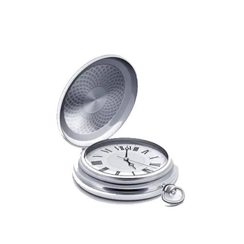
Open Silver Pocket Watch -
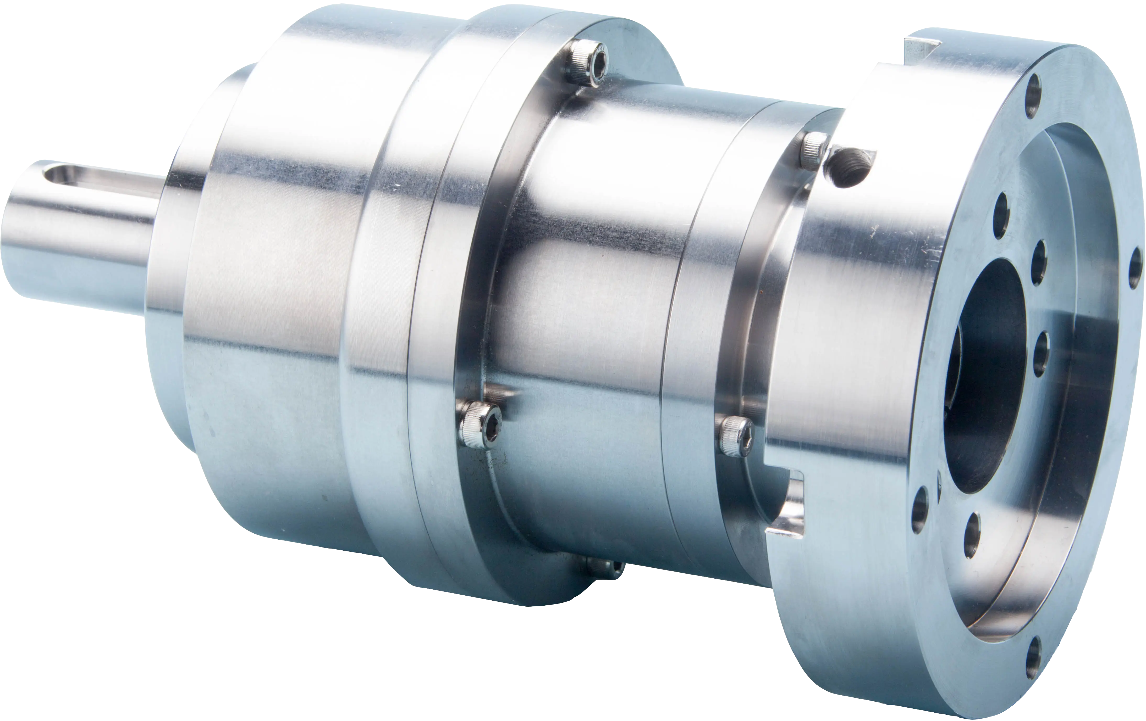
Precision Metal Gear Reducer for Industrial Use -
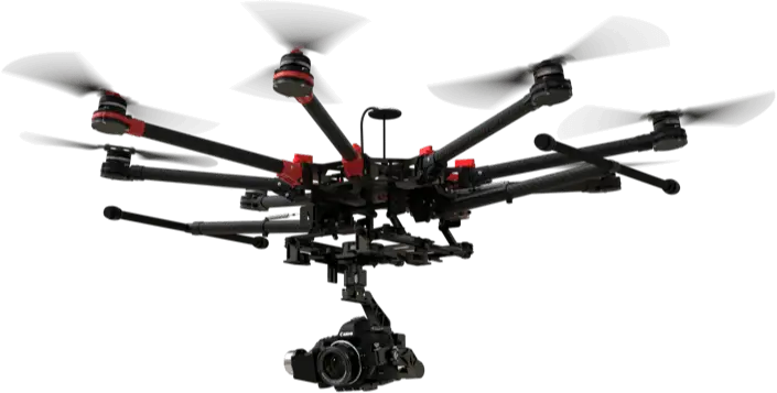
Modern Camera Drone with Multirotors -
Green Gemstone Illustration -
Elegant Luxury Wristwatch with Silver and Black Design -
High-tech Engine Turbine System -
Bicycle Disc Brake Component -
Industrial Milling Cutter -

Map with Multiple Green Location Pins -
Advanced Medical Equipment -
Infrared Sensor Module Design -
Industrial Metal Hub Component -
Joystick Controller for Gaming -

Pink and White Striped Hot Air Balloon -
Political Map Displaying Regional Sectors -

Magnifying Glass Focusing on Target -
Adjustable Torque Wrenches for Precision Work -
Color-Coded Map of Regional Divisions