You Might Like
-

Colored Regional Map of Africa -

Black Compass Rose for Navigation and Mapping -

Green Globe Icon Representing Sustainability -
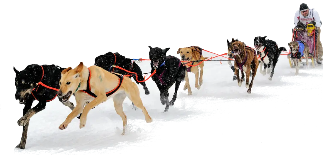
Dog Sledding in Snow -

Polar Bear Face Illustration -
Multicolored Umbrella for Weather Protection -
Cute Rain Clouds and Umbrellas Illustration -

Cute Cartoon Penguin in Winter Attire -

Map Highlighting Specific Regions -

Black Windy Weather Icon -
Electric Room Heater -
Storm Cloud with Lightning -

Campground Map for Outdoor Adventures -
Classic Black Rubber Rain Boot -

Simple Navigation Map -
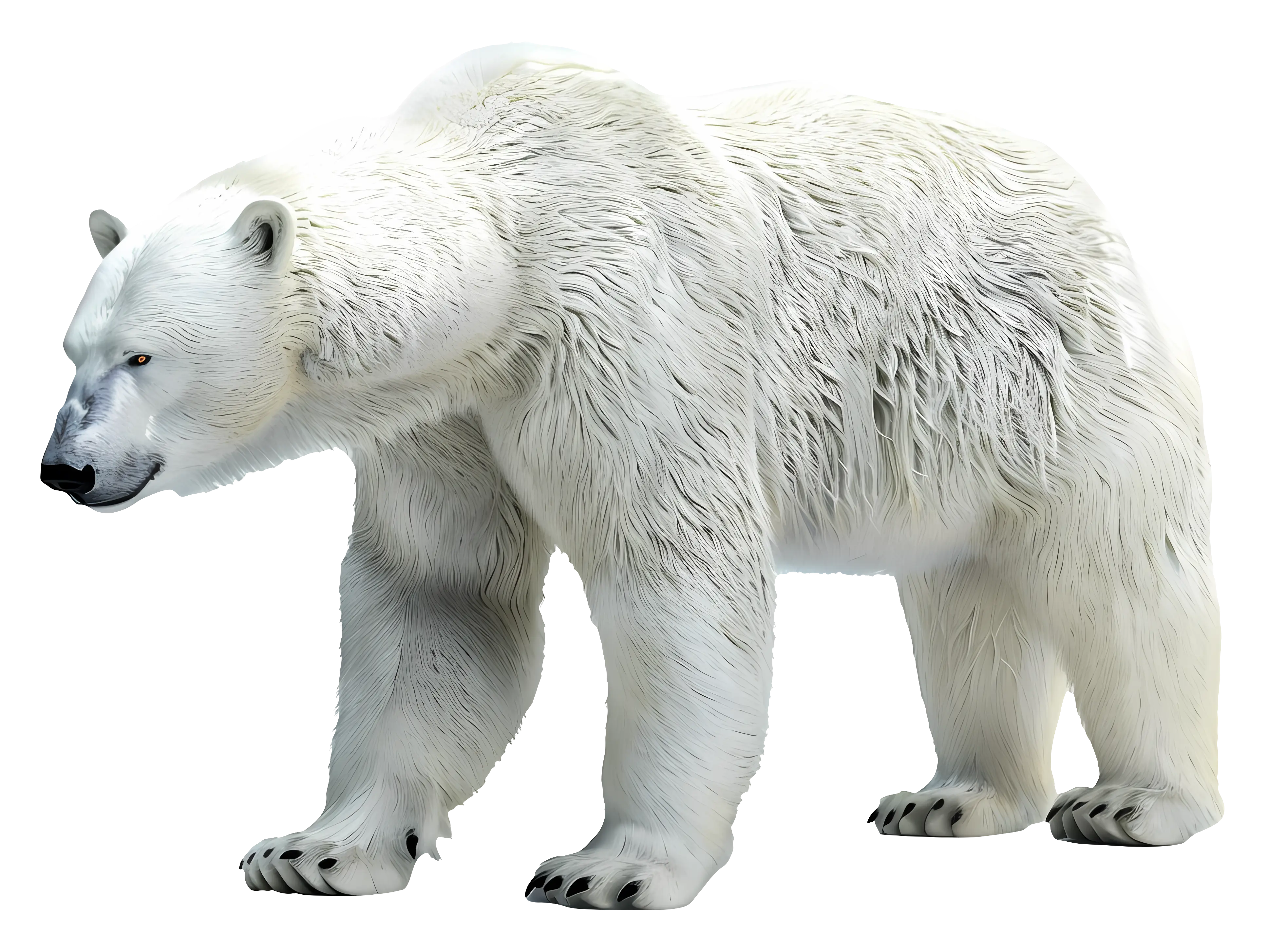
Realistic Polar Bear with White Fur -

Simple Igloo Illustration -

Map of Russia with Red, White, and Blue Flag Colors -

Red Globe Pin Illustration -
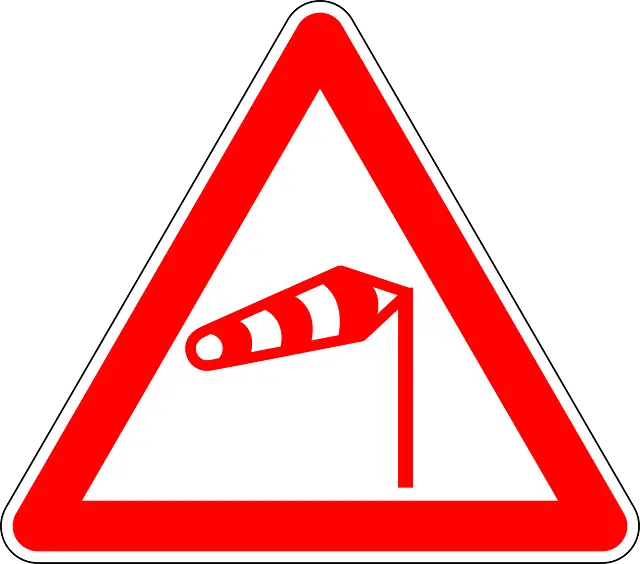
Red Triangle Wind Warning Road Sign -

Map of Vietnam -
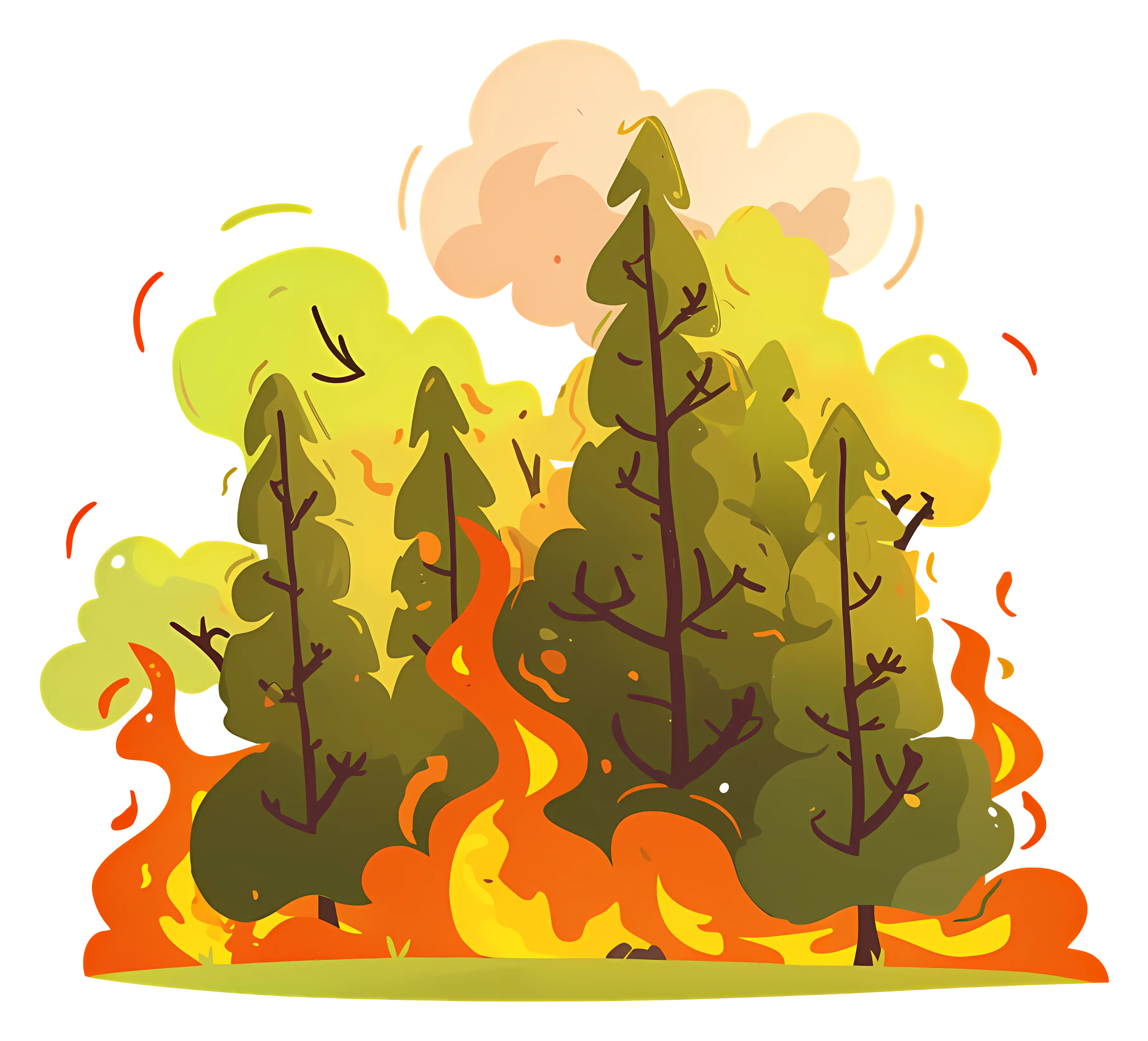
Burning Forest with Flames -

Gray Map Silhouette on Transparent Background -

Eco-friendly Green Hourglass -

Video Game Dungeon Map Layout -

Umbrella with Falling Raindrops Icon -

Blue Map of Germany with Regions -
Polar Bear Illustration in Natural Habitat -

Simple Igloo Drawing -

Orange Thermometer Icon Illustration