You Might Like
-

Red Abstract Lines and Circles -

Simple Red Bus Illustration -

Minimalist Equal Symbol Icon -
Abstract architectural design in peach tones -

Digestive System Diagram -
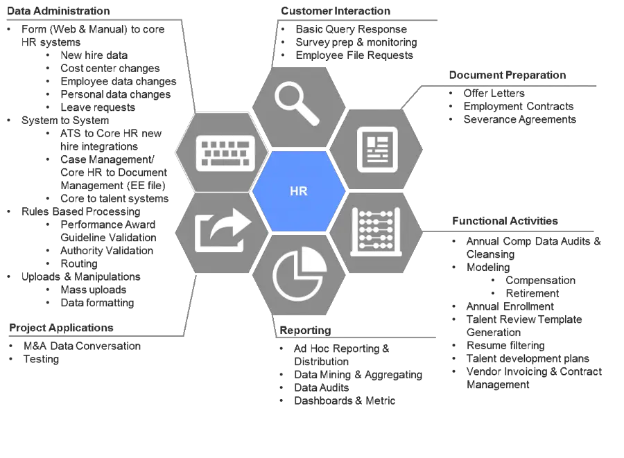
HR Workflow Diagram -

Black and White Rubik's Cube Illustration -

Decorative Circular Sunburst Element -

Detailed Lungs Diagram Illustration -
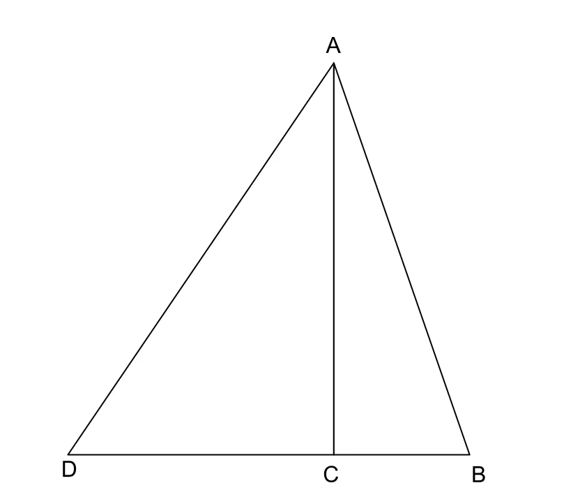
Triangle Diagram for Geometric Representation -
Illustrations of Various Patterned Lines -
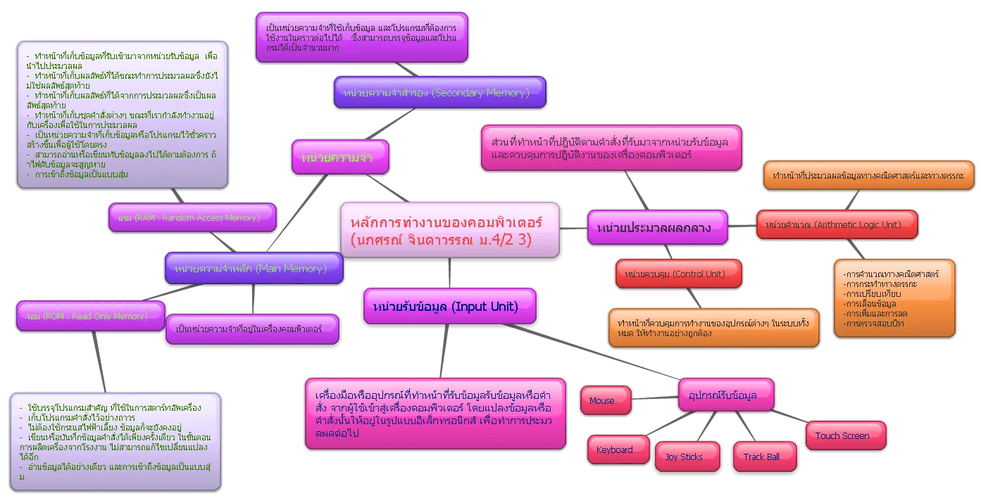
Mind Map Diagram in Colorful Design -
Green Flowchart Diagram -
Mathematical Network Diagram with Nodes and Lines -

Geometric Design with Overlapping Squares -

Blue Flames Design -
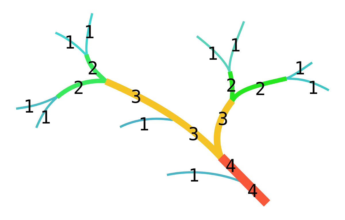
Tree Diagram with Numbers -

Dashed Line Illustration -

Abstract Yellow Streaks on Transparent Background -

Colorful Sunburst Pattern -

Simple Flowchart Diagram -
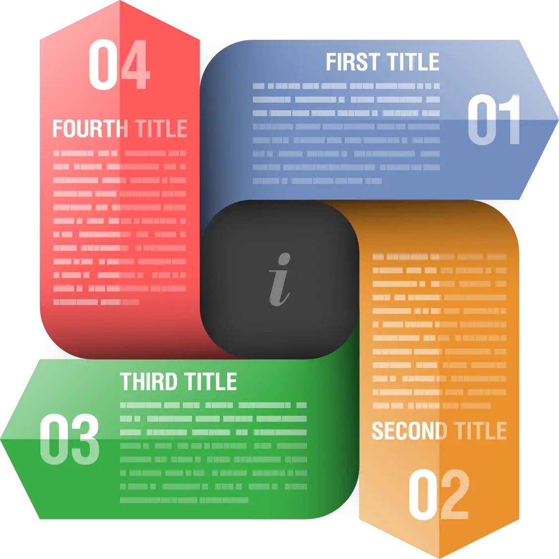
Colorful Infographic Diagram -

Abstract Wavy Black Line Design -

Jesus Judgment and Crowning Illustration -

Shattered Broken Glass -

Black and White Striped Circular Design -
Black Circle with Horizontal Lines -

Polygonal Octagonal Design with Dot Center -
Red Grid Lines Design -
Abstract Black and White Lines Pattern