You Might Like
-

Black Compass Star Icon for Navigation -

Blue Play Button Icon -
Decorated Colorful Tuk-Tuk Vehicle -

Hand Swipe Gesture Icon for Interface Navigation -
Airplane in Flight over the Sky -

Curved Right Arrow -
Blue Down Left Arrow Traffic Sign -

Blue Globe with Continents Illustration -

Blue Globe Model for Geography Learning -

Hamburger Menu Icon for Navigation -

Yellow and Pink Hot Air Balloons -
Red Arrow with Face -

Cartoon Boy with Backpack and Glasses -

Black Compass Rose for Navigation and Mapping -

Female Photographer with Camera on Adventure -
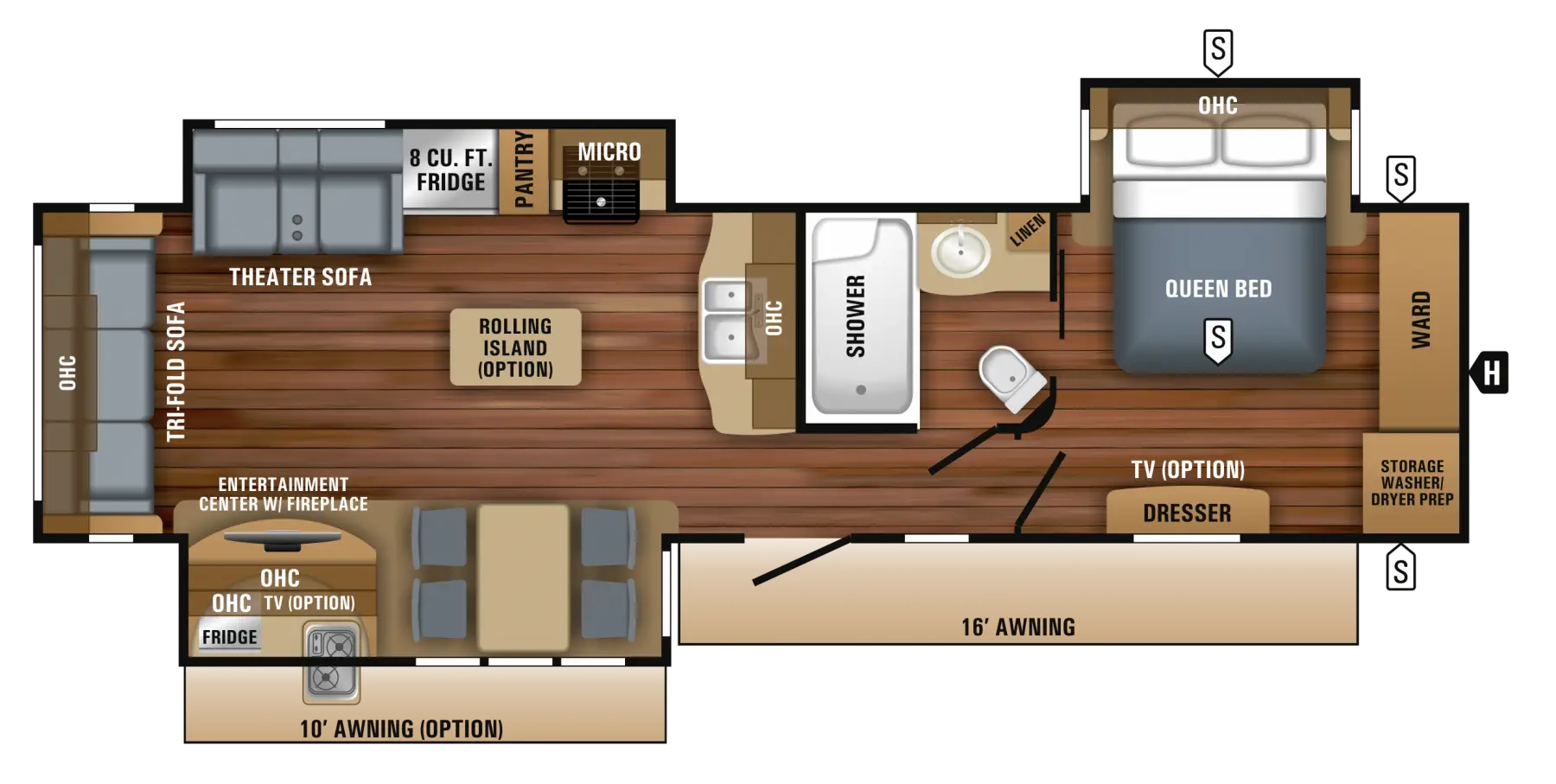
Floor Plan Layout for Home Construction -

Walking Person Silhouette Icon -

Insect Repellent Product Range -

Red and White Striped Hot Air Balloon -
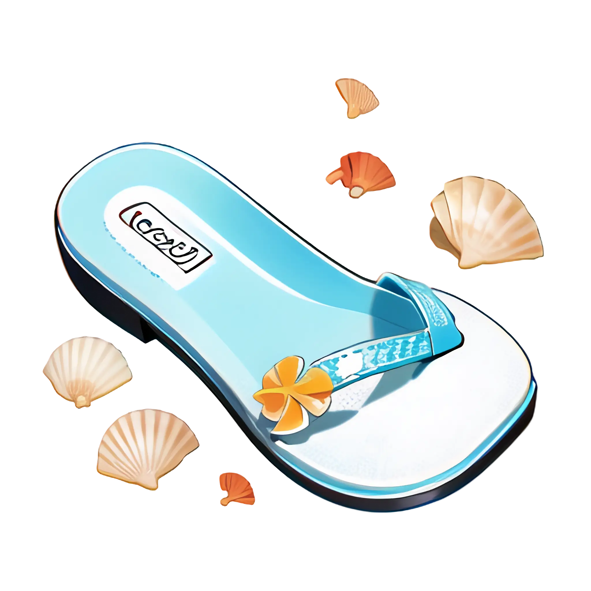
Flip-Flop with Seashells -

Purple Curved Right Arrow -

Right Arrow Calendar Icon -
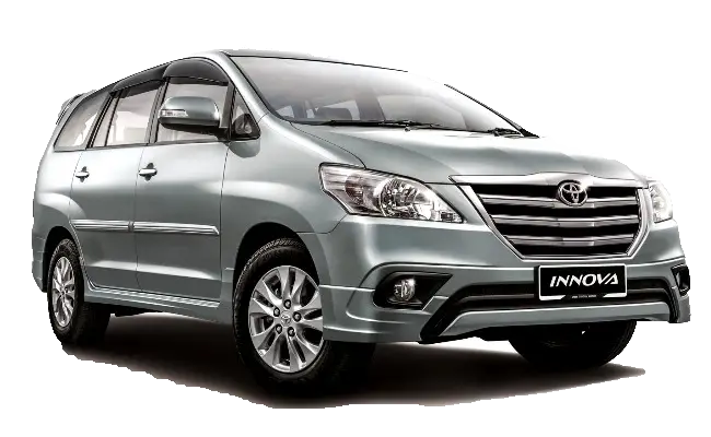
Silver Car for Family Transport -
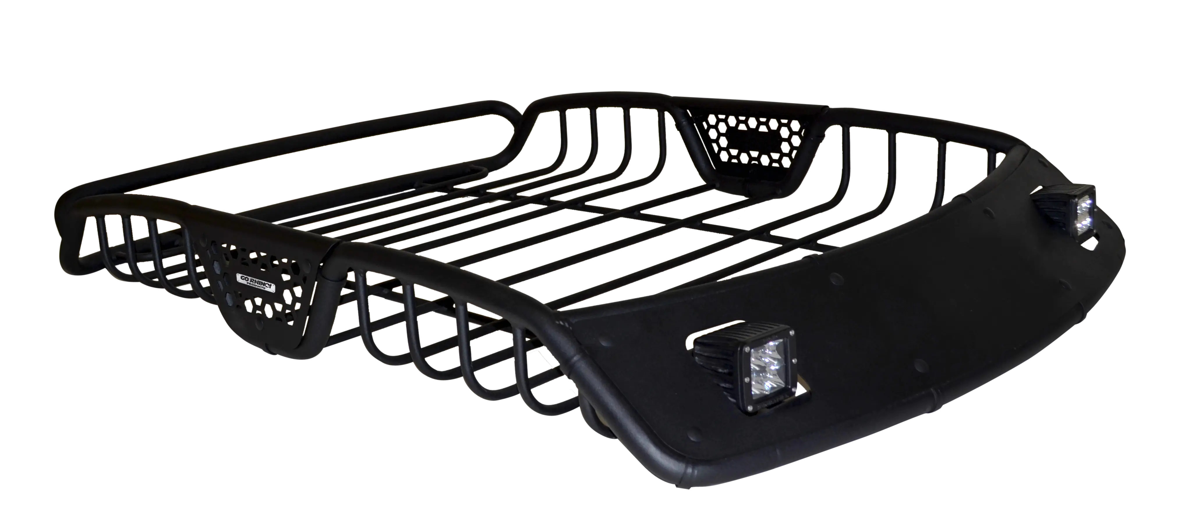
Black Car Roof Rack Design -

Black Hand Pointing Gesture Icon -

Black Target with Arrow Symbol -
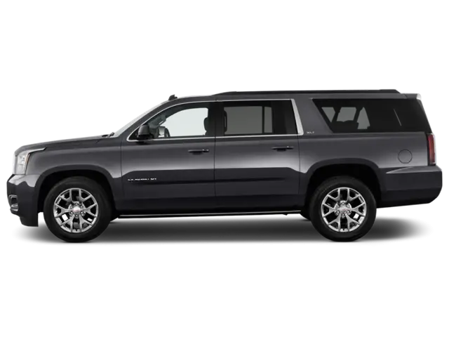
Black SUV Car for Off-Road and Urban Travel -
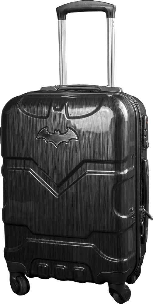
Black Suitcase with Batman Logo -

Cartoon Beach Scene with Camper Van -

Red Arrow Pointing Downwards