You Might Like
-
Red Scooter for Urban Mobility -

Black Bus Icon Illustration -
Train Symbol in Yellow Circular Design -
Electric Skateboard with Green Wheels -
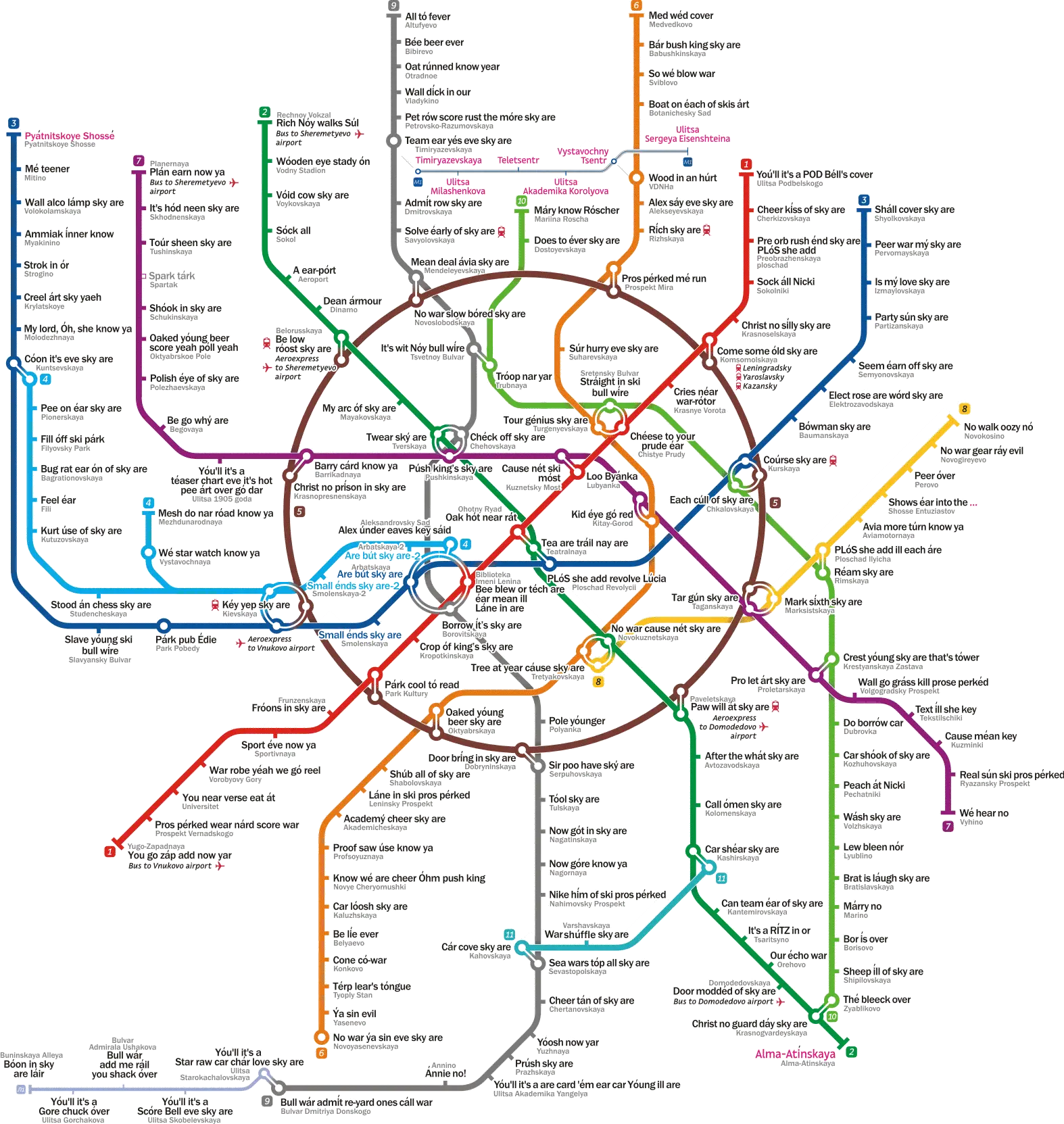
Colorful Subway Map with Routes and Stations -
Modern Blue Car for Urban Transport -
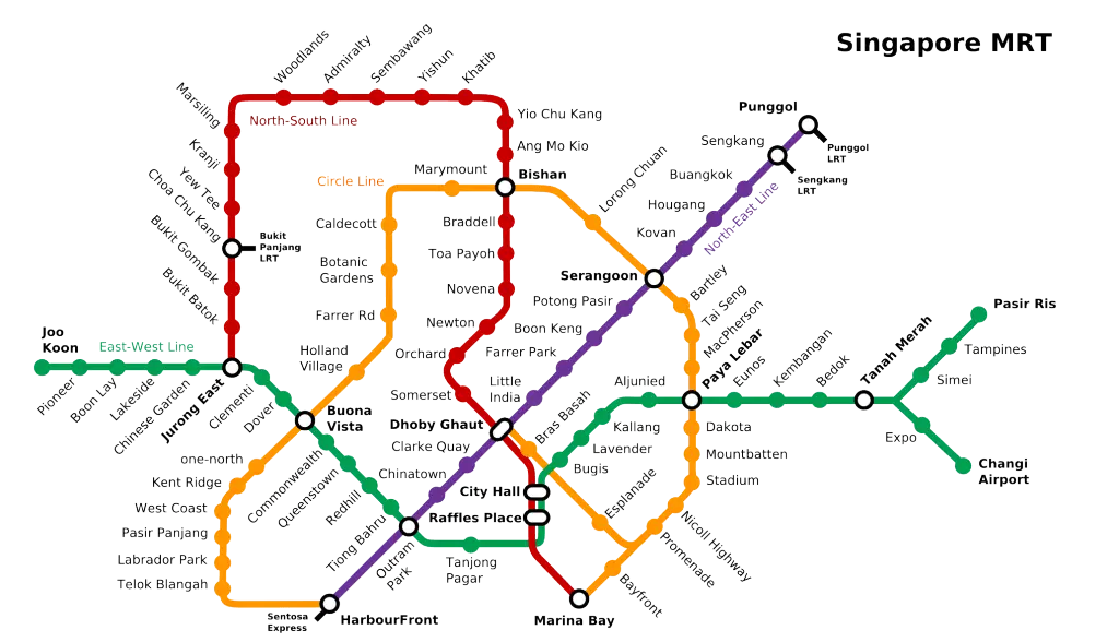
Singapore MRT Map for City Navigation -
Red SUV for Urban Transport -
Modern Electric Tricycle -
Light Blue Compact Electric Car -
Transparent Electric Scooter Design -
White Sedan Car for Urban Transport -
RER Logo in Blue Circle -
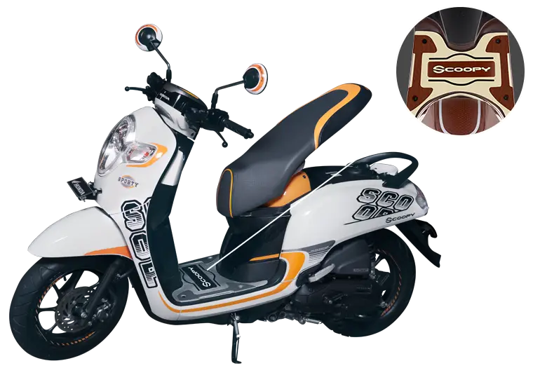
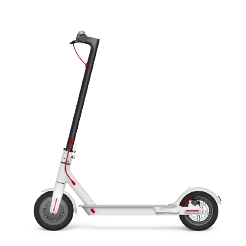
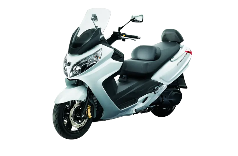
Stylish White Scooter -
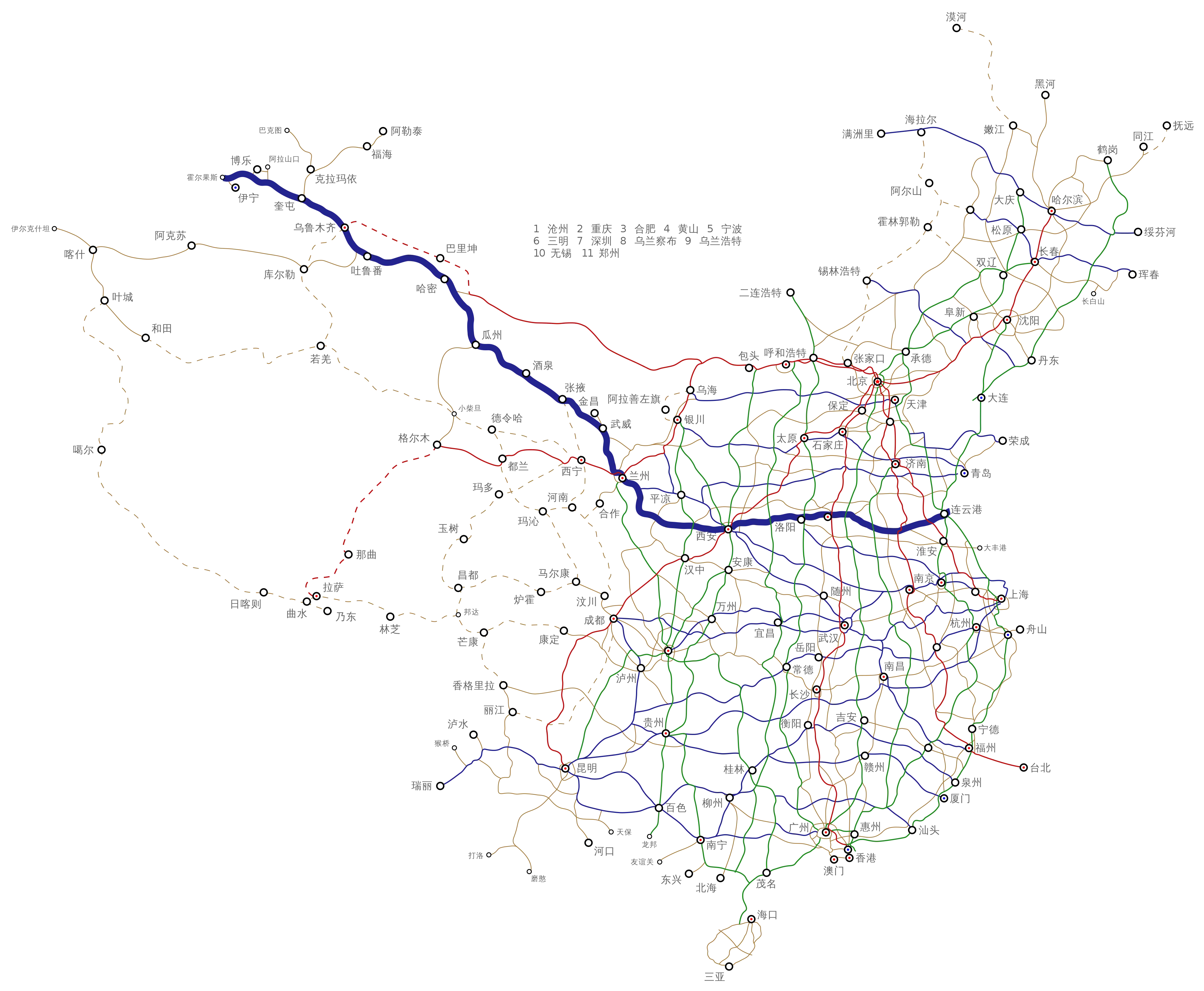
Detailed Map of Highways and Routes -
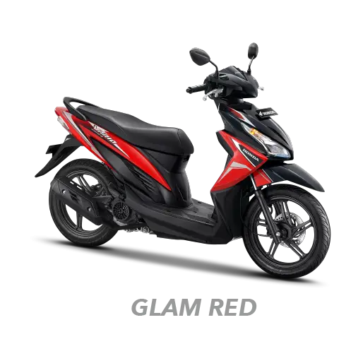
Stylish Red Scooter for City Travel -
Metro Last Light Game Cover -
Modern Scooter Vehicle for Urban Transport -
Modern Blue Scooter -
Scooter Bike for Urban Transport -
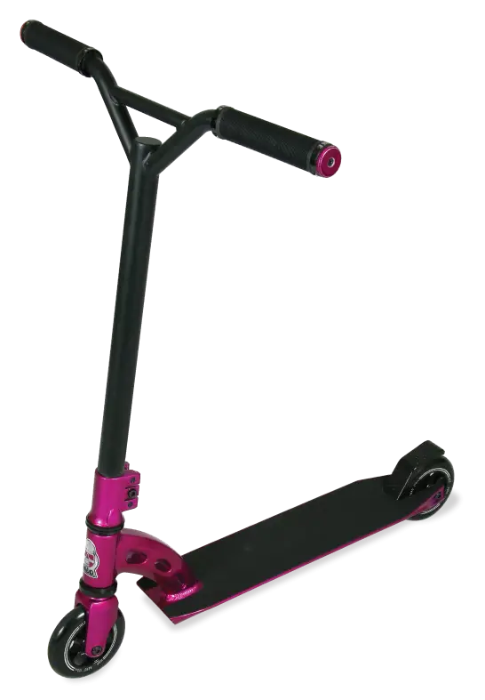
Pink Kick Scooter for Commuting -
Bicycle Cartoon -

Stylish Gray Retro Scooter for Urban Transport -
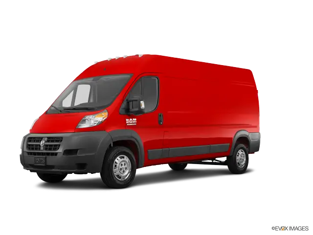
Red Delivery Van for Urban Transport -
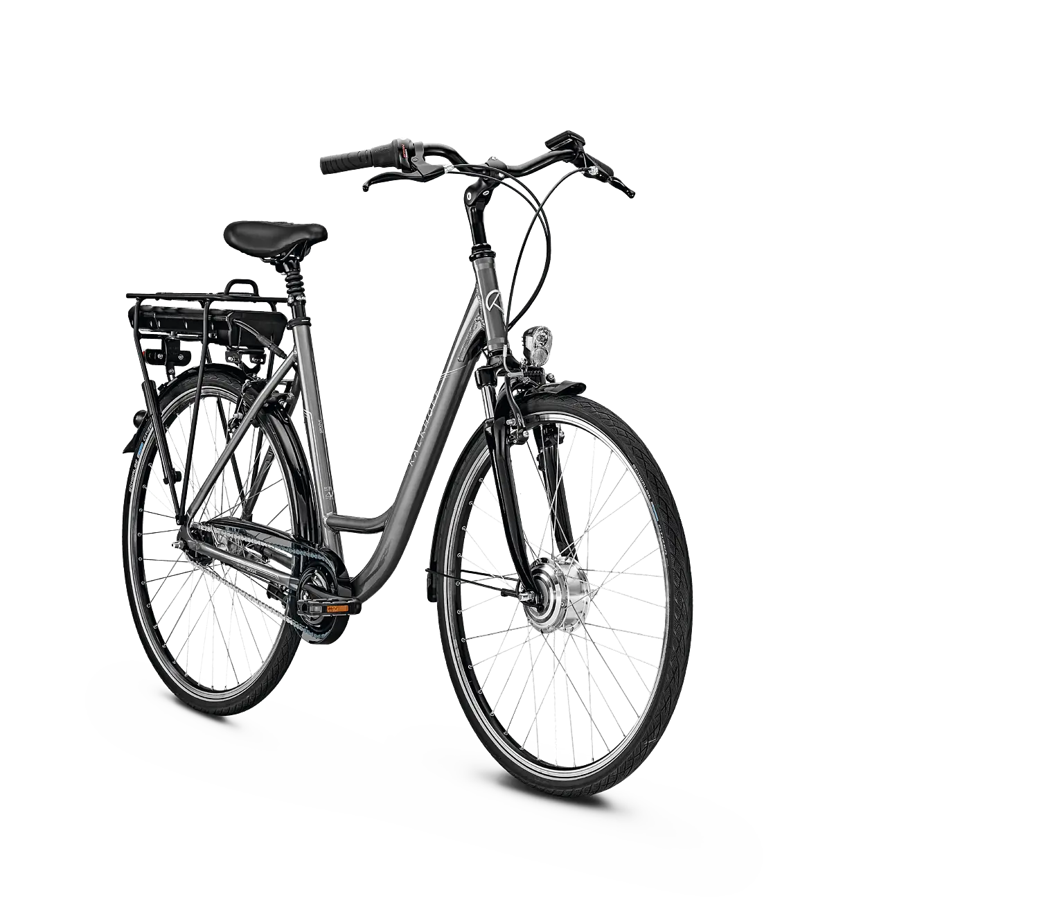
Black Electric Bike for Urban Transport -
Sleek White Scooter -
Black Bus Icon for Public Transportation -
Sleek Silver Scooter Illustration -
Auto Rickshaw for Urban Transport -
Modern Motor Scooter for Urban Transportation