You Might Like
-

Blue Globe Network Icon -

Blue Globe with Continents Illustration -

Blue Globe Model for Geography Learning -

Green Globe Icon Representing Sustainability -

Complete Blue World Map -

Transportation Logistics with Global Shipment -
Infographic Pencil with Data Elements -

3D Globe Illustration of Earth Model -

Blue Globe Icon for Global Connectivity -

Silhouette Globe Design with Continental Map -

Cracked Earth Texture Illustration -
Pile of Soil -

Blue Recycling Symbol Logo -

Black Globe with Orbital Line Illustration -

Binary World Map -

Young Seedlings in Soil -

Colorful World Map Globe Representation -

World Globe Icon -

Light Bulb with Globe and Analytics -

Future Box Logo with Globe -
HDMI Splitter Cable -

Network Globe Icon -

McKinsey Global Institute Logo -

Earth with Leaves in a Hand for Sustainability Concept -
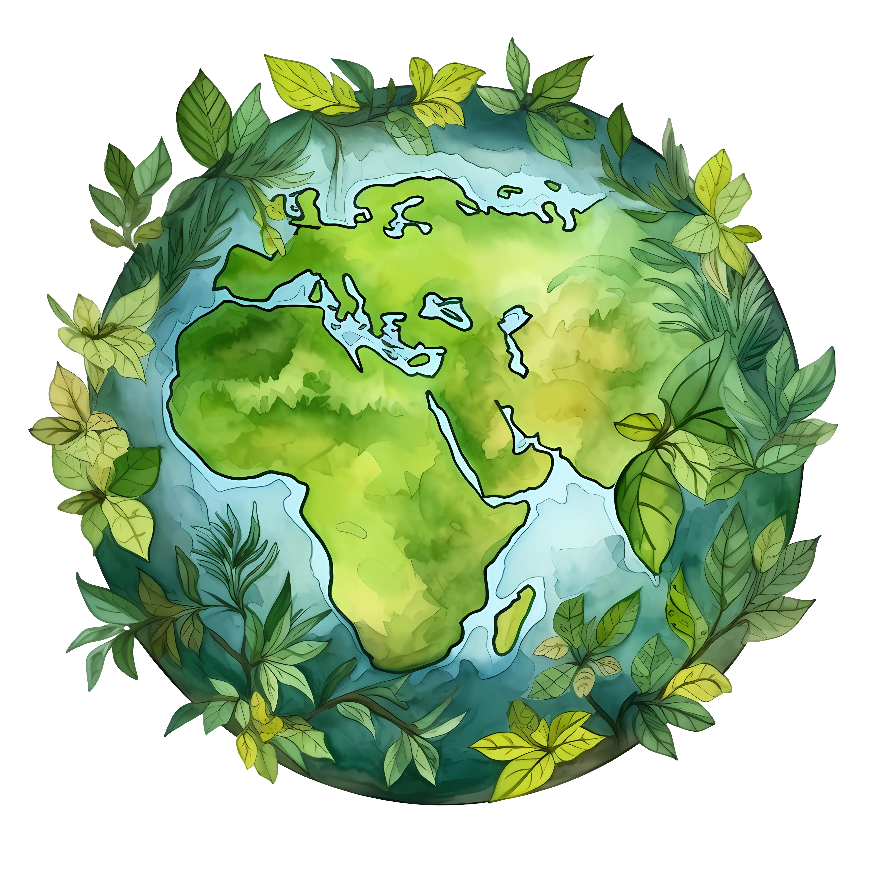
Earth Illustration Surrounded by Leaves for Conservation Concept -
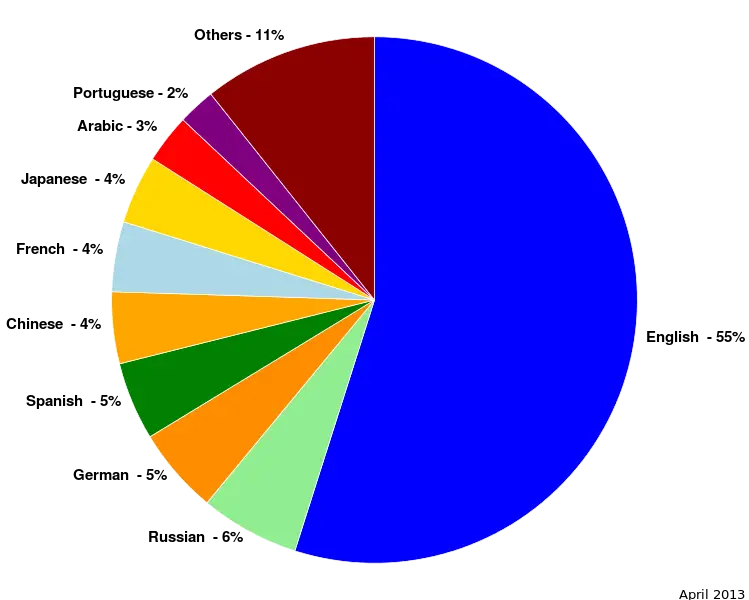
Colorful Statistical Pie Chart -

Green Robots with Earth -
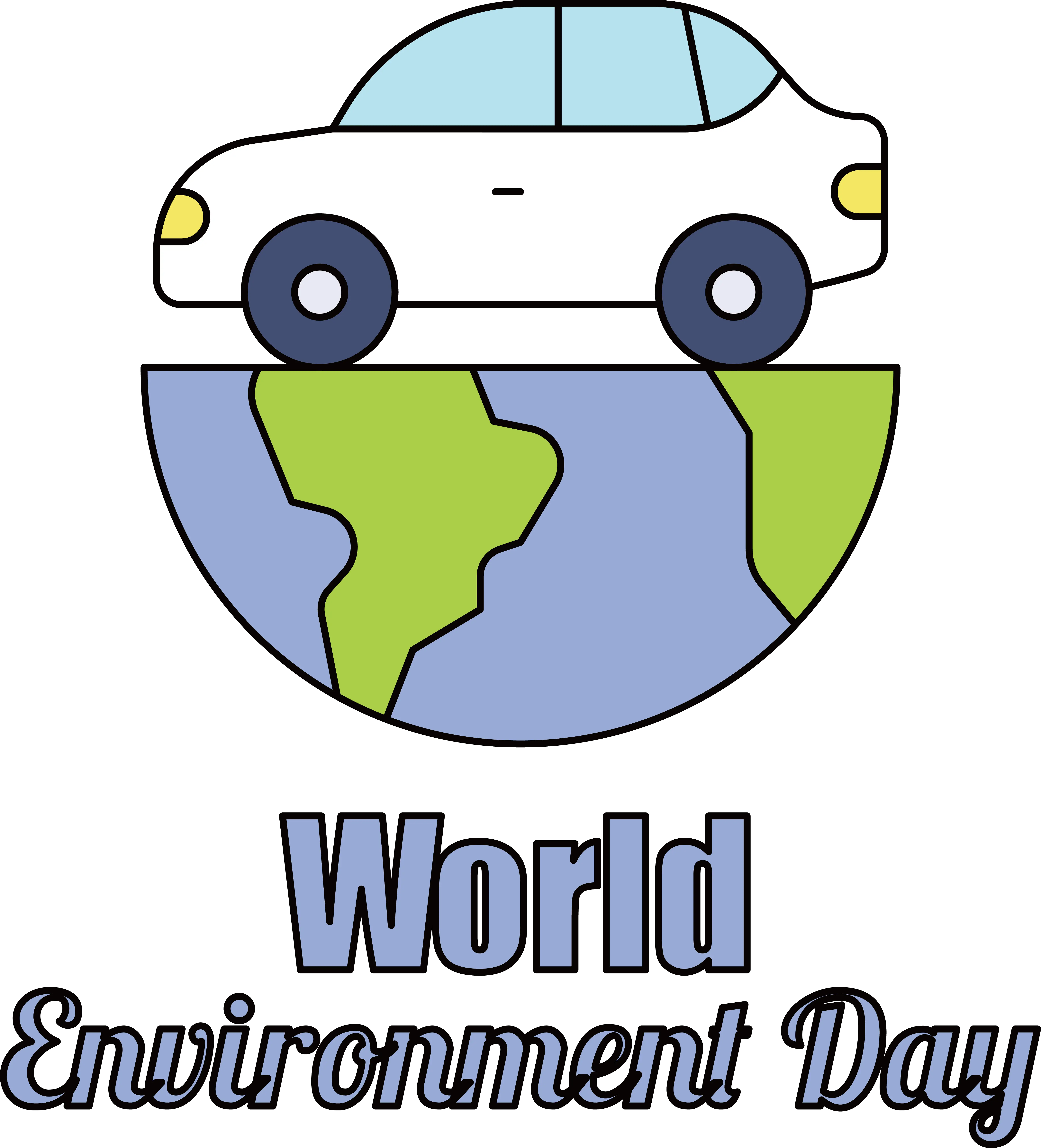
Car on Earth for World Environment Day -

Earth Held in Hands Illustration -

Young Living Essential Oils Logo