Free Geography Cliparts and Illustrations - Page 2
Free 463 geography cliparts & illustrations for your personalized works, such as illustrated animal world map for education, south carolina region map, blue world map illustration, gray usa map outline and many more.
-
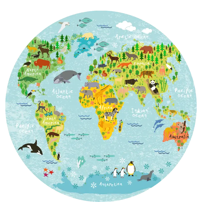
Illustrated Animal World Map for Education -
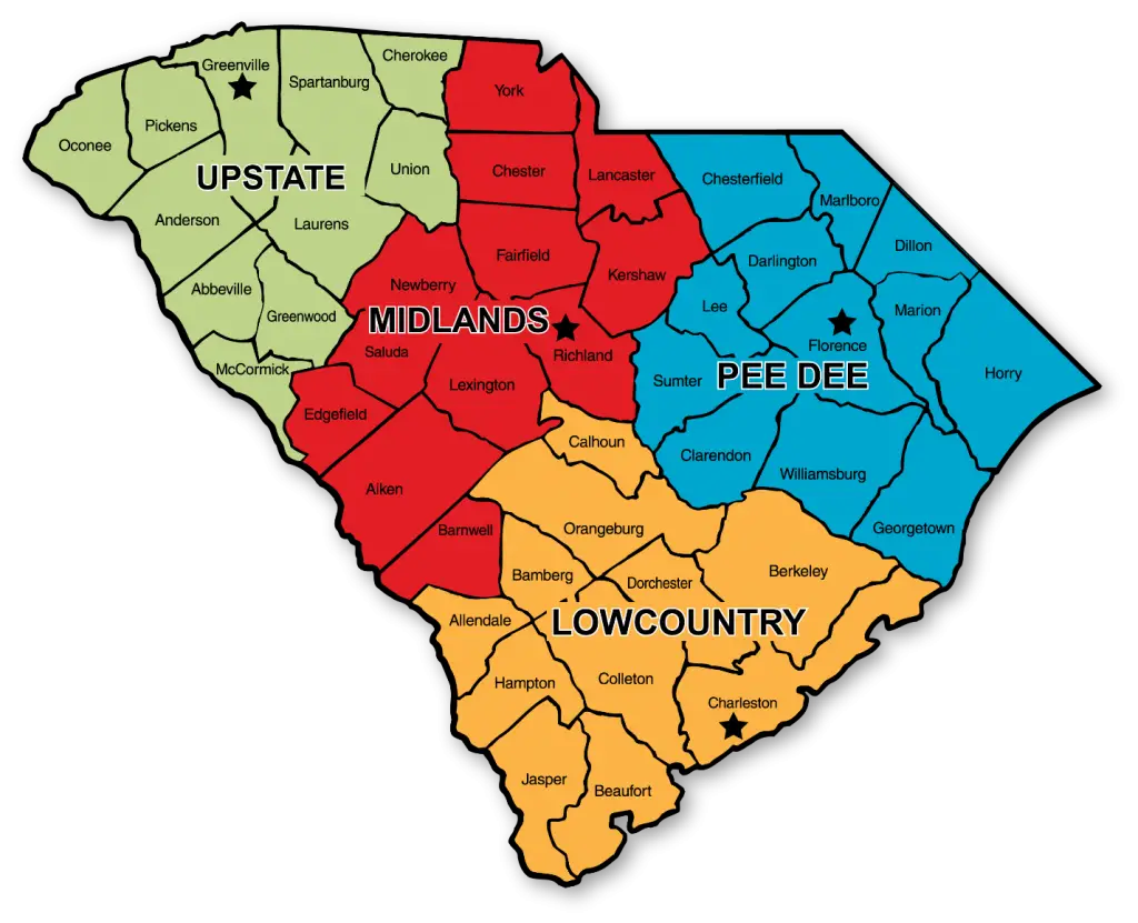
South Carolina Region Map -
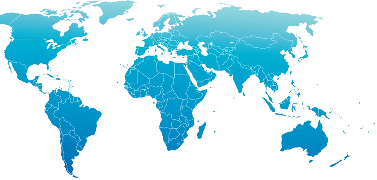
Blue World Map Illustration -

Gray USA Map Outline -
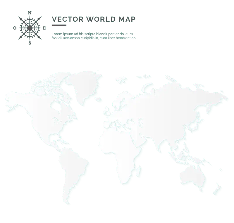
Transparent Vector World Map -
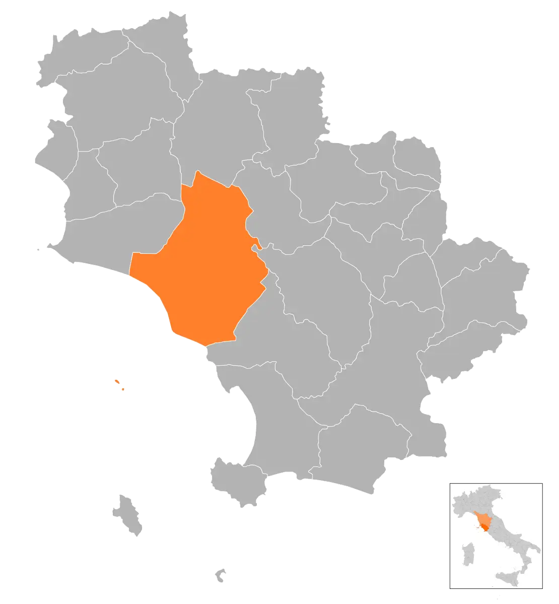
Map of Italy Highlighting a Region -
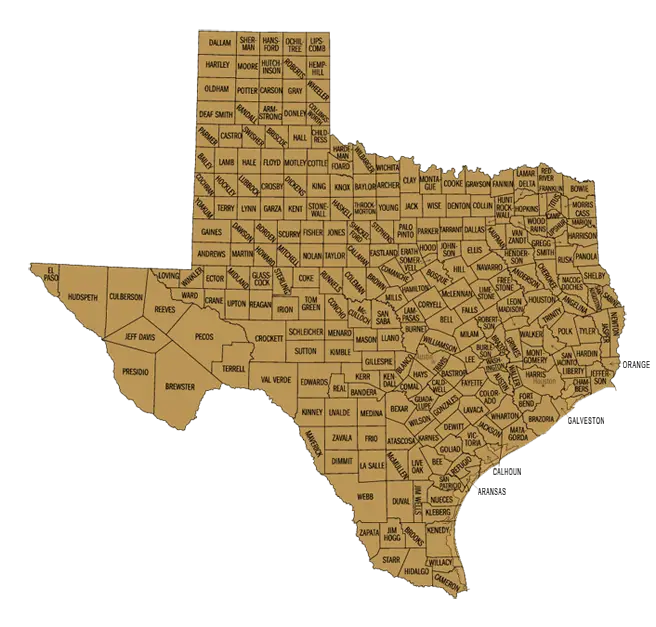
Geographical Map of Texas -
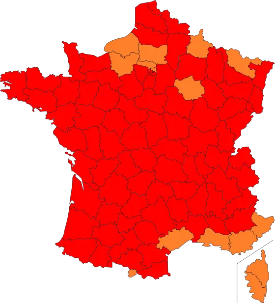
Illustrated Map of France with Regions Highlighted -
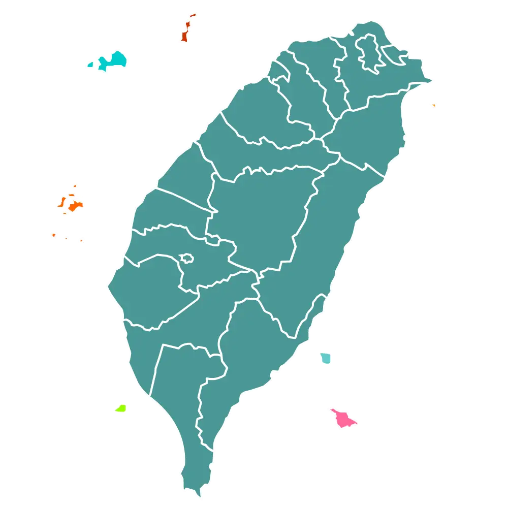
Map of Taiwan -

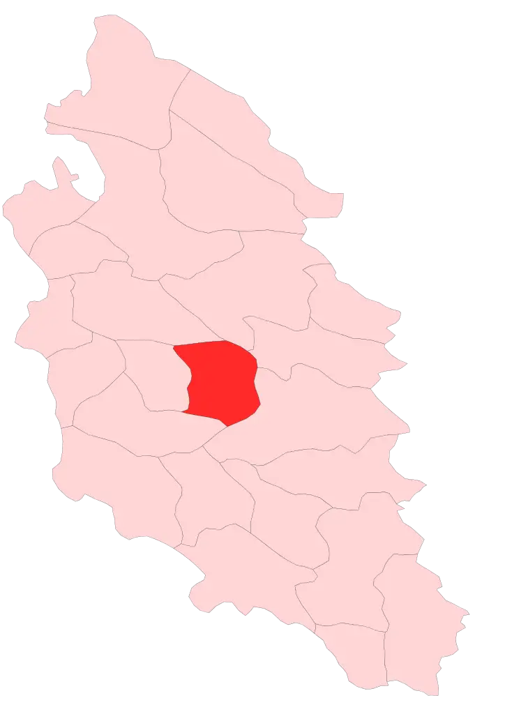
District Map with Highlighted Section in Red -
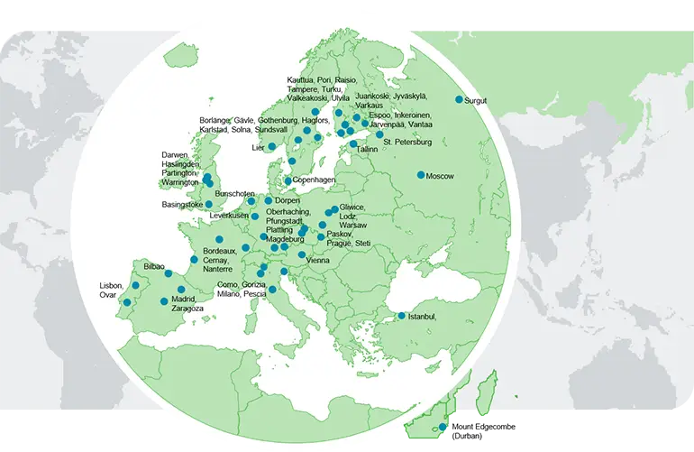
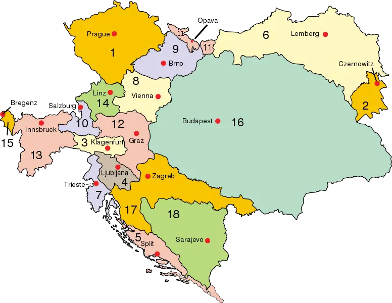
Map of Europe with Cities -
Global Map with Highlighted Regions -
Region Map with Highlighted Area -

Blue Silhouette of India Map -
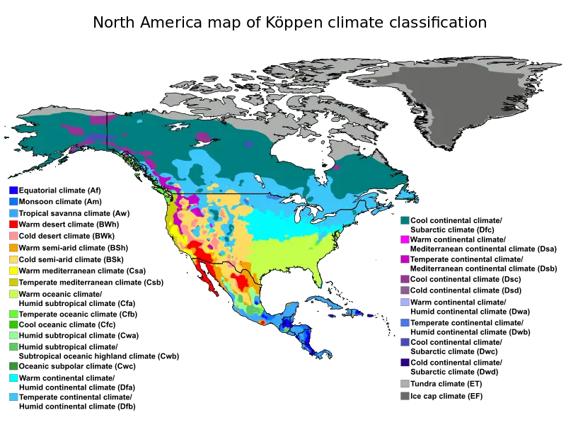
North America Köppen Climate Classification Map -
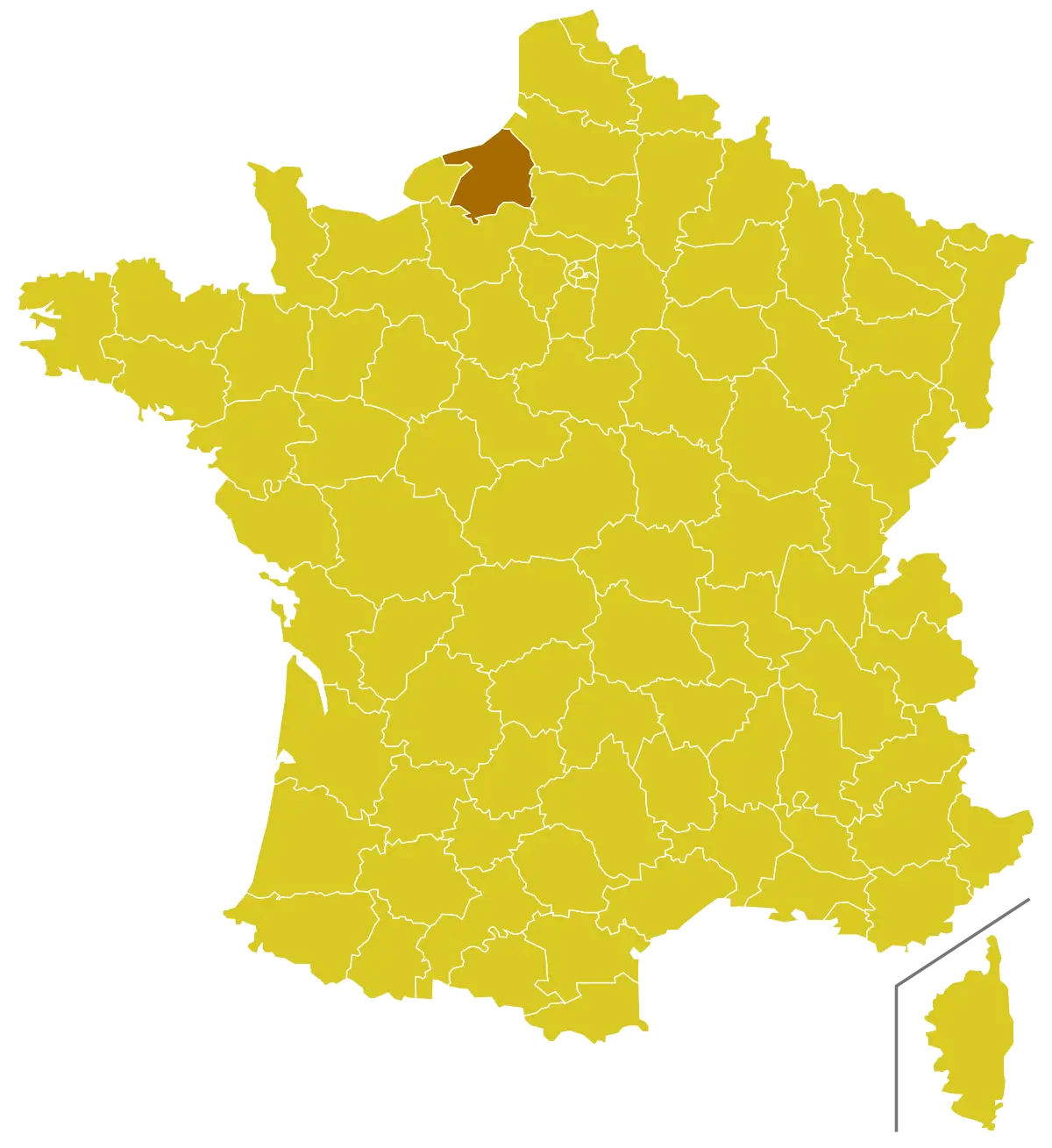
Map of France with Highlighted Region -
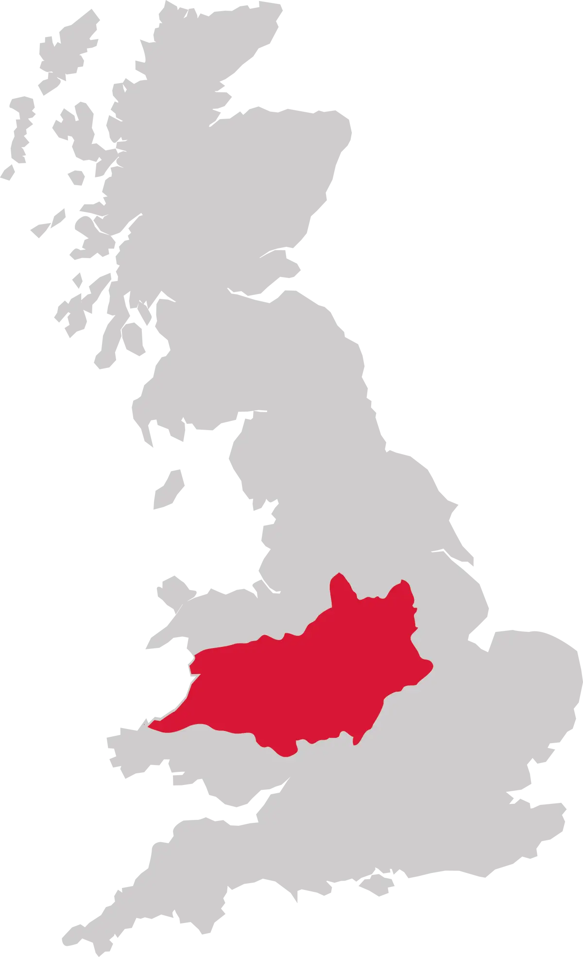
UK Map Highlighting the Midwest Region of England -
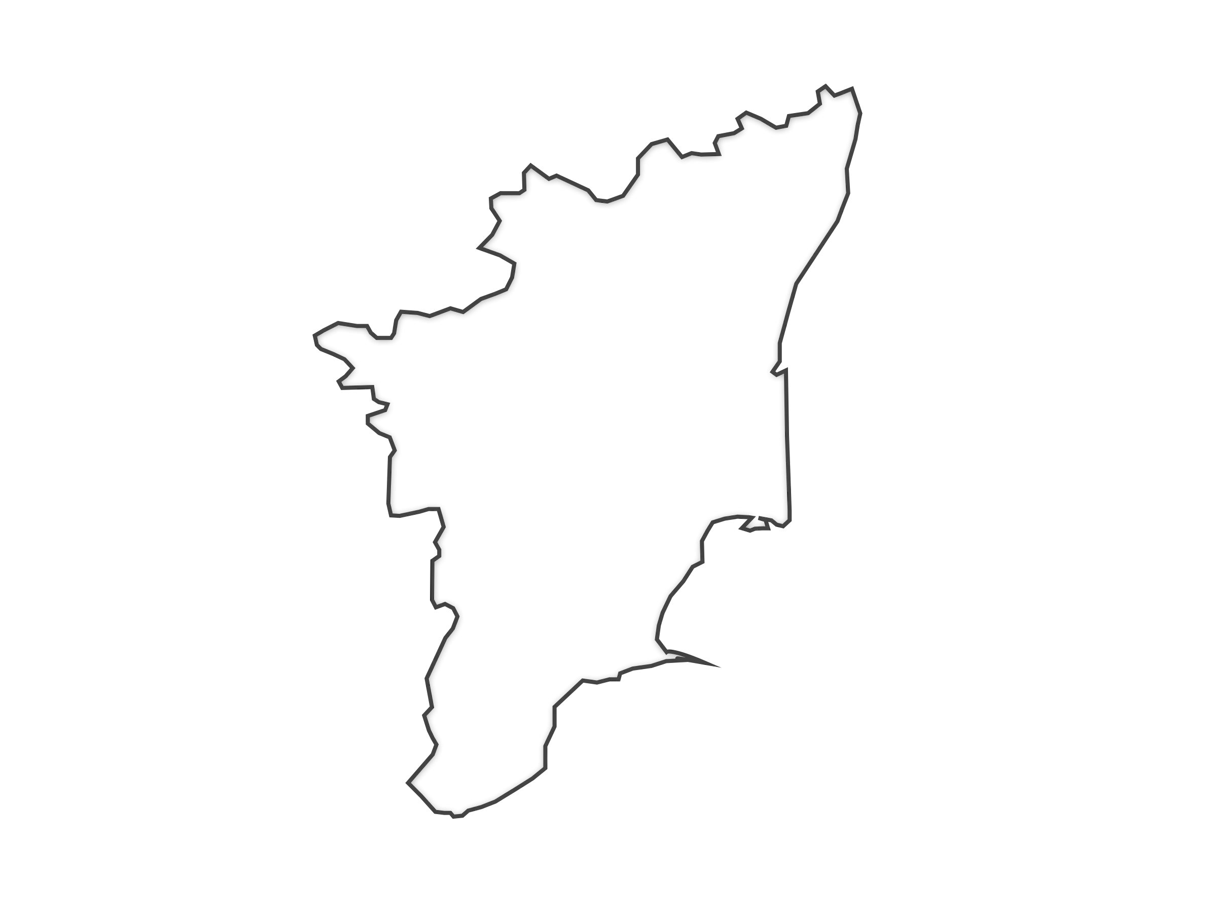
Outline of a State or Region -
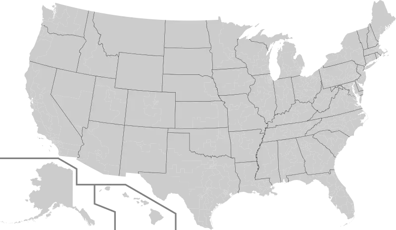
Gray USA Map with State Boundaries -
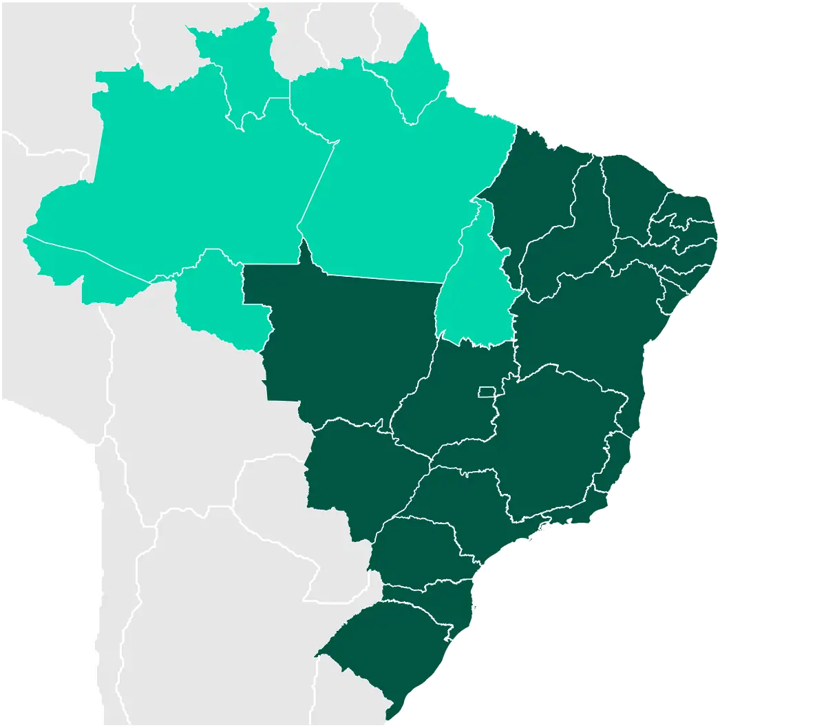
Map of Brazil -
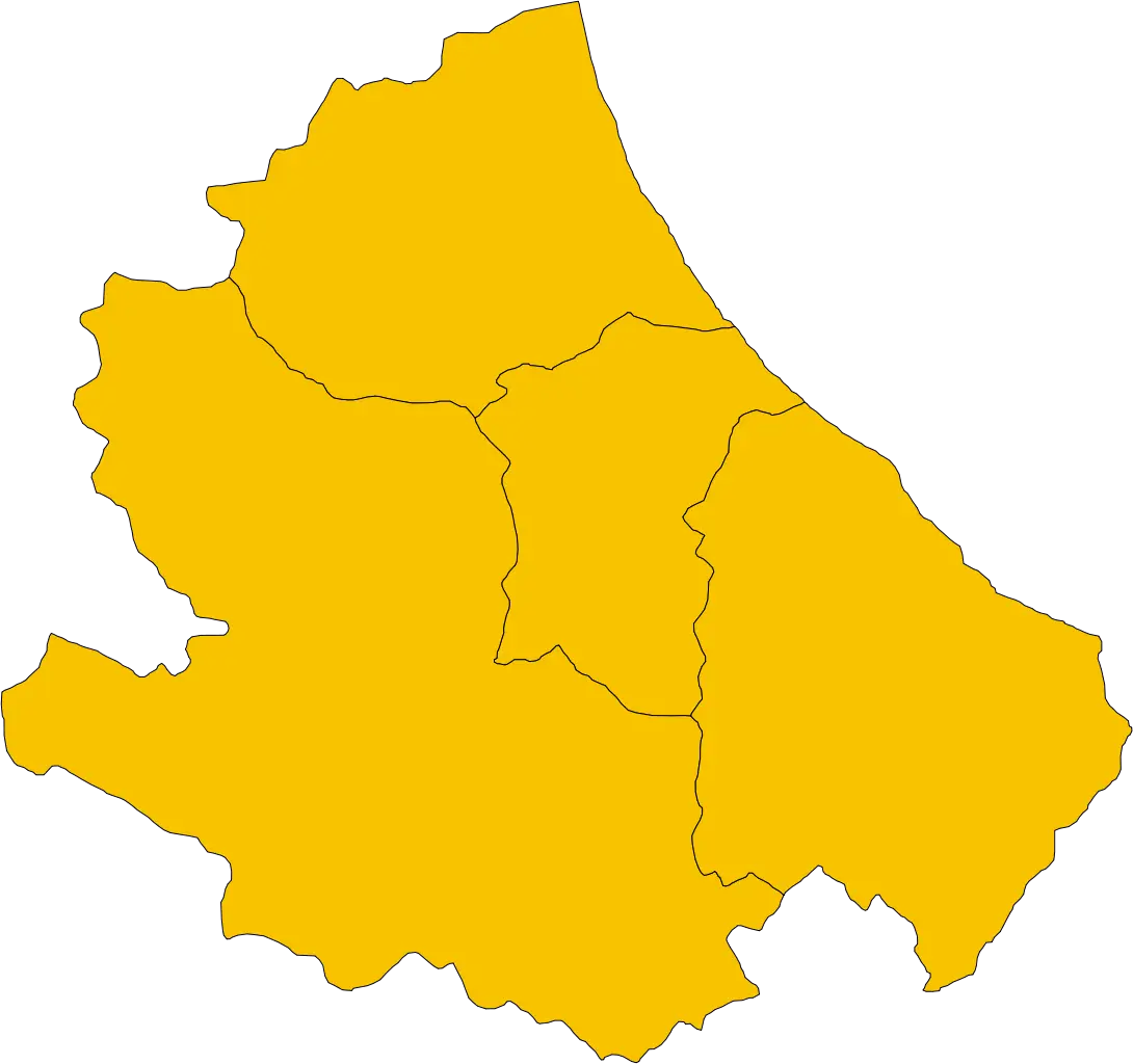
Yellow Regional Map -
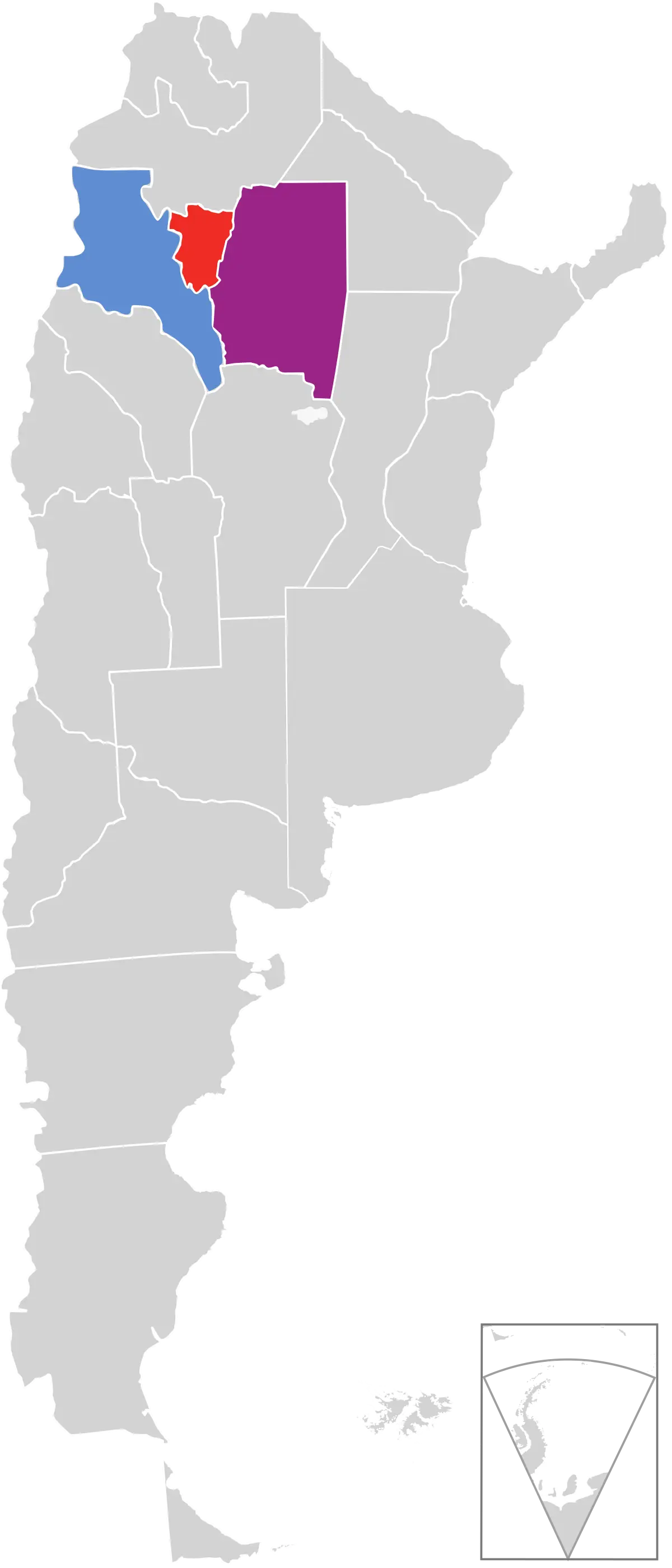
Map of Argentina Highlighting Specific Regions -
Map of Regions with Boundaries -
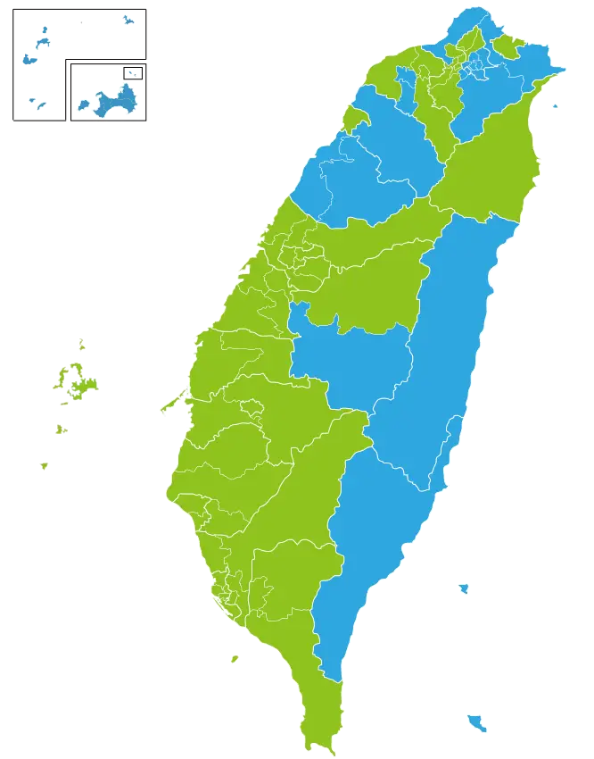
Colorful Map of Taiwan's Regions -
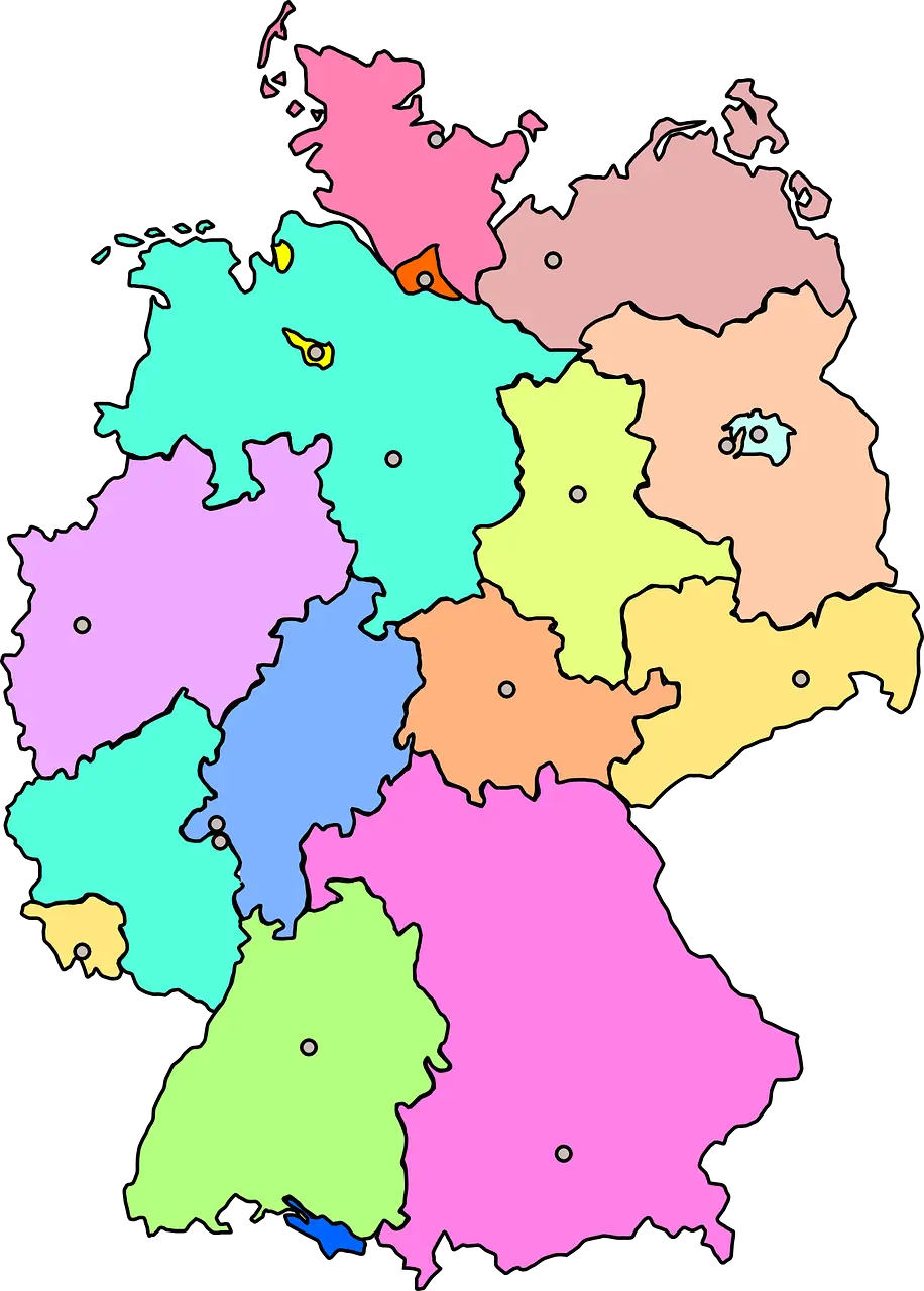
Colorful Map of Germany with Regions -
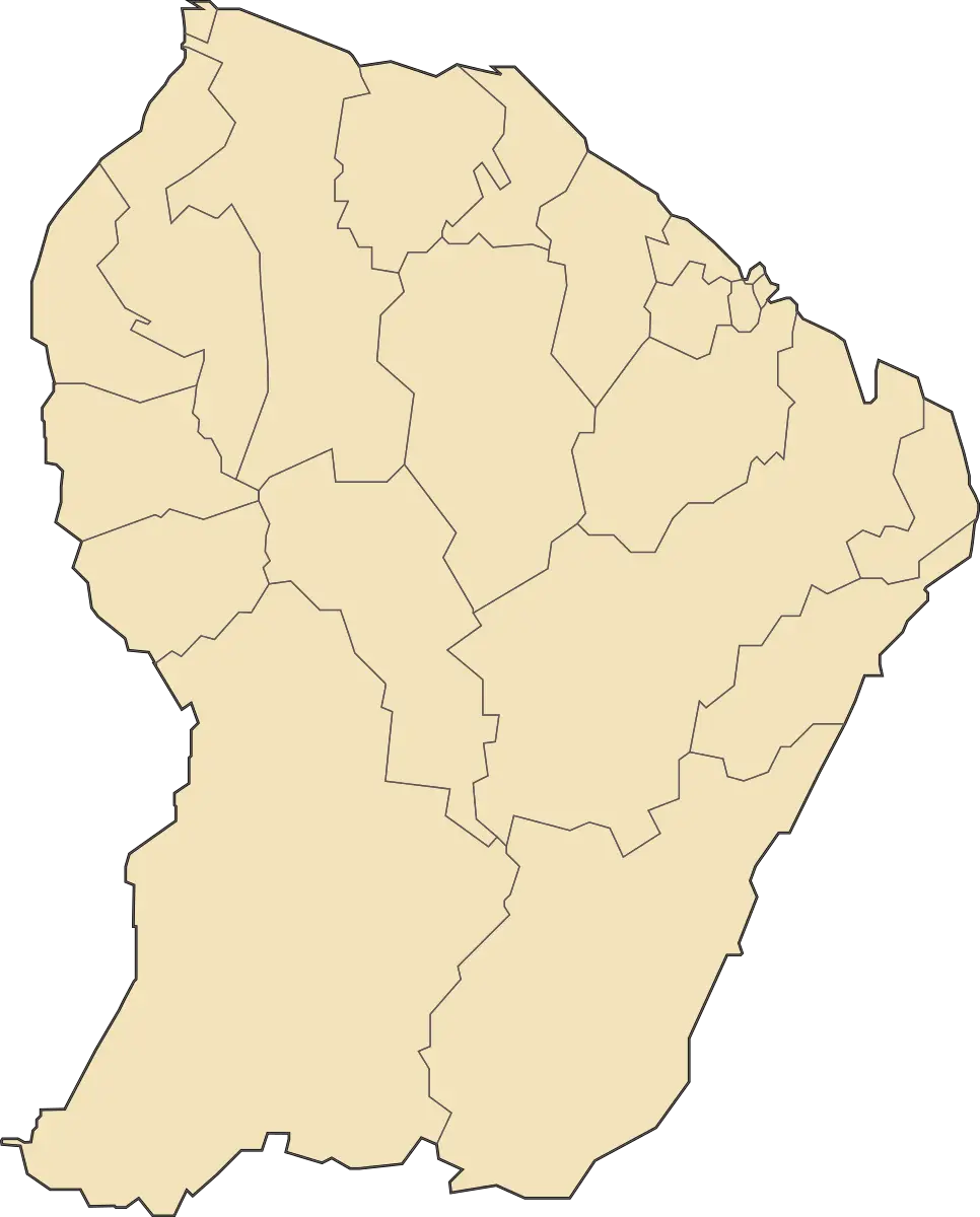
Yellow Map of French Guiana -
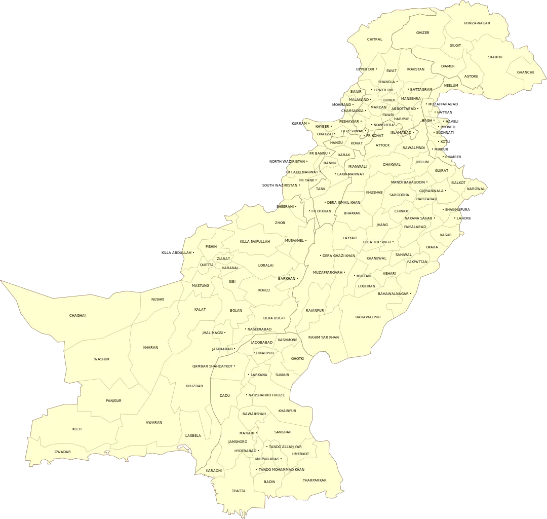
Yellow Map of Pakistan with Regional Labels -
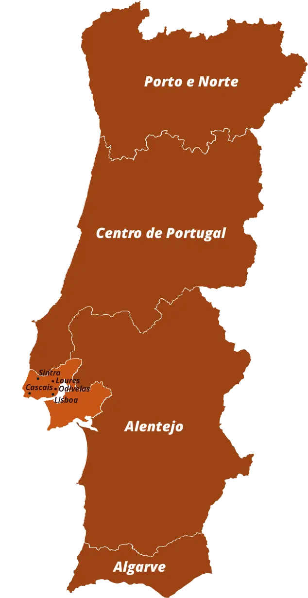
Map of Portugal with Regions -
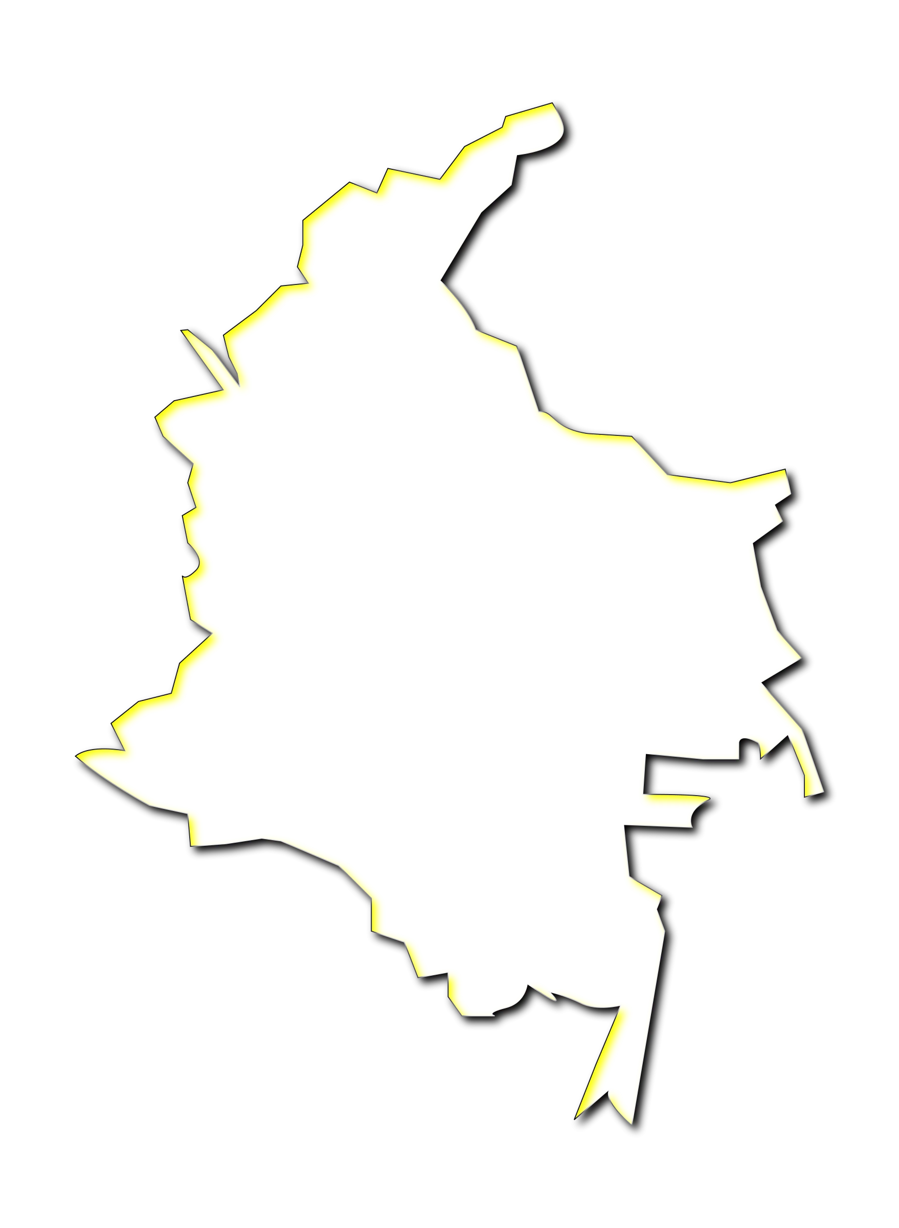
Outline Map of Colombia -
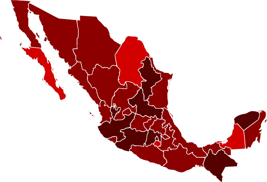
Map of Mexico with Regions Highlighted -
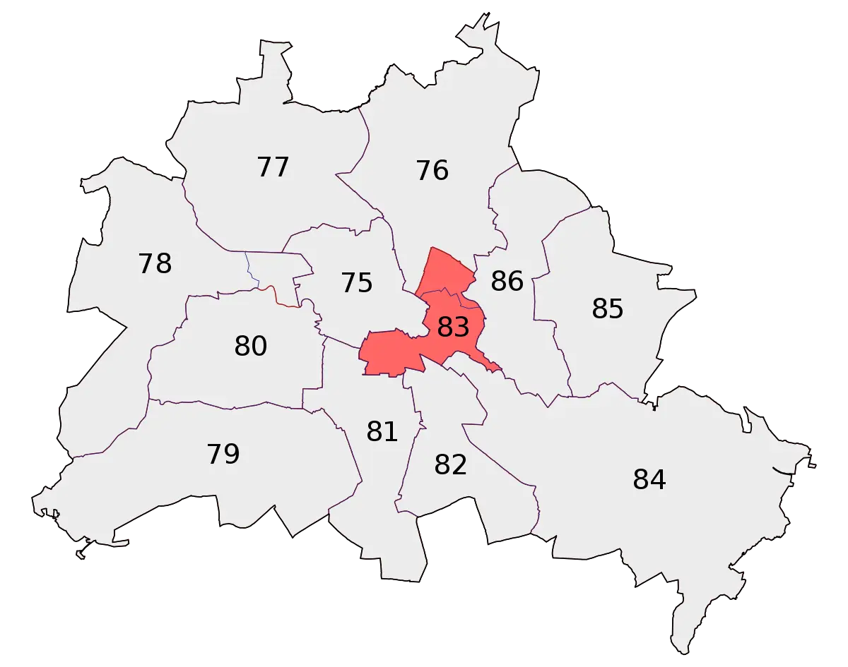
District Map Highlighting Specific Region -
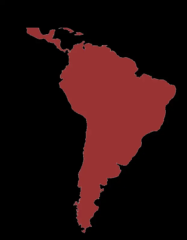
Map of Latin America in Red Illustration -
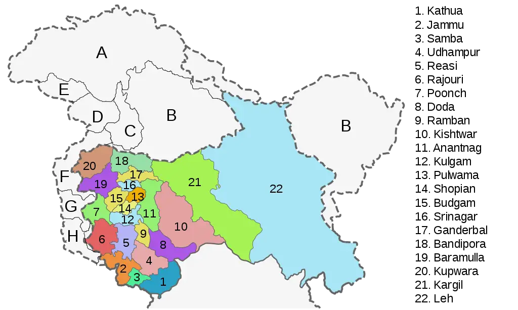
Map of Regions and Districts -
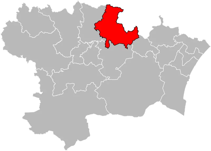
Map with Highlighted Red Region -
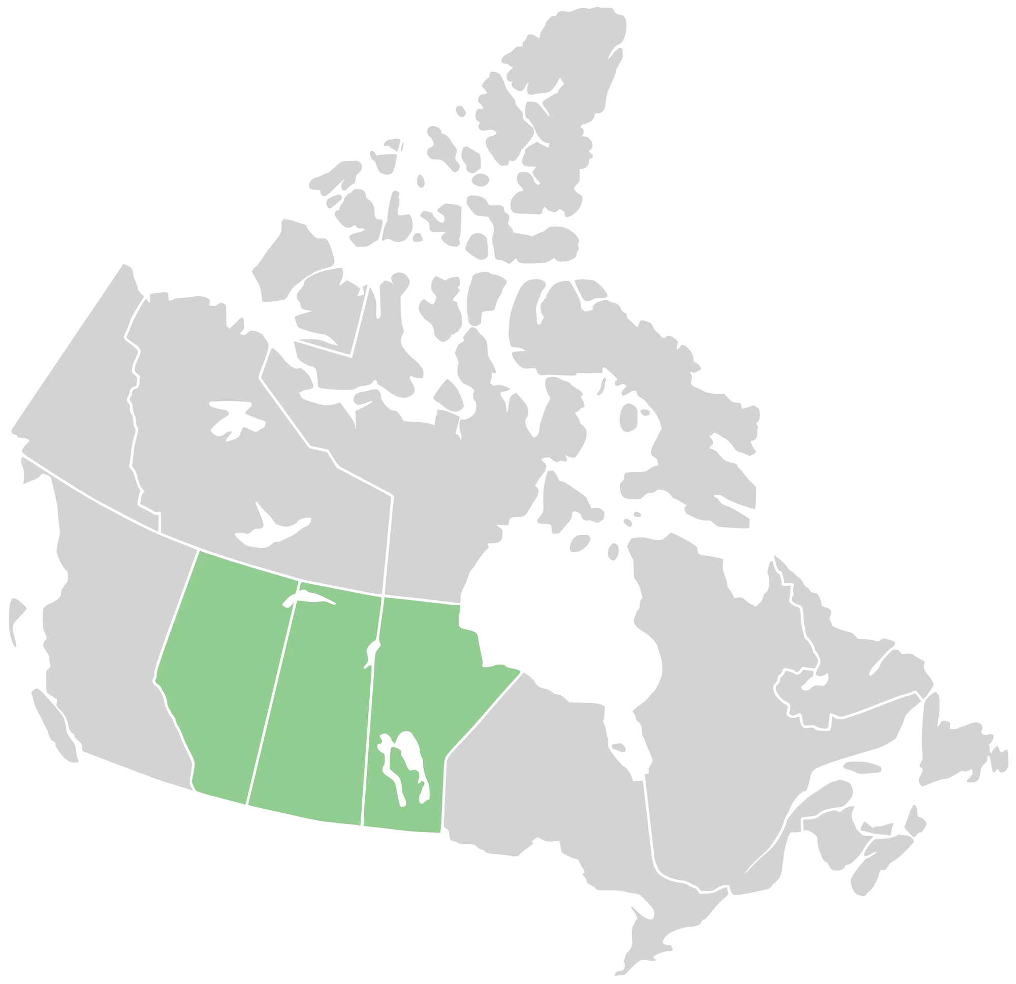
Map Highlighting Canada Prairie Provinces -
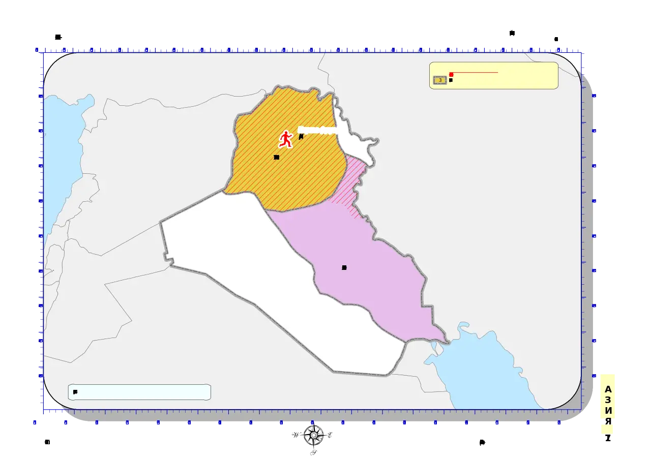
Country Region Map with Highlighted Area -

Blue Map of China with Provincial Divisions -
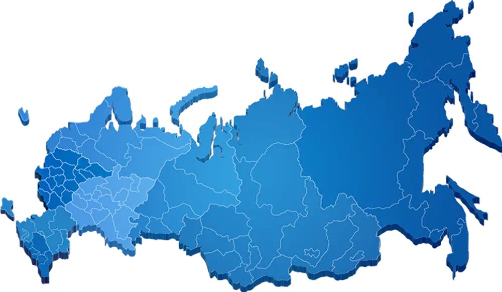
Blue Map of Russia with Regional Borders -

Map of Greece with Flag -
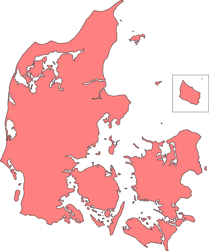
Map of Denmark -
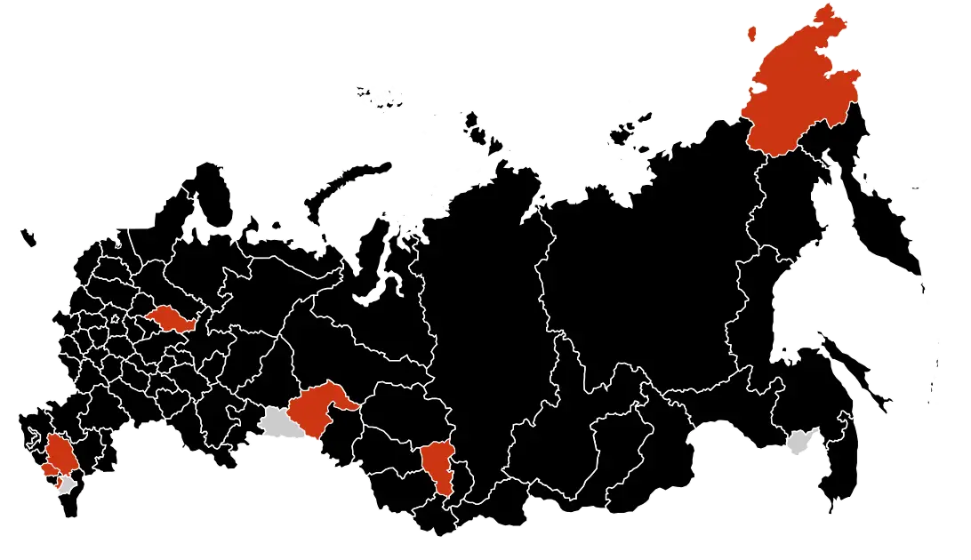
Black Map of Russia with Highlighted Regions -
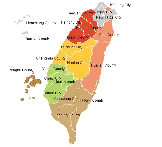
Political Map of Taiwan with Regions -
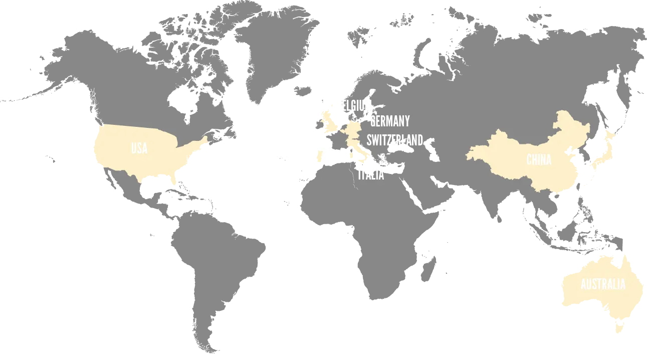
Simplified World Map with Highlighted Regions -
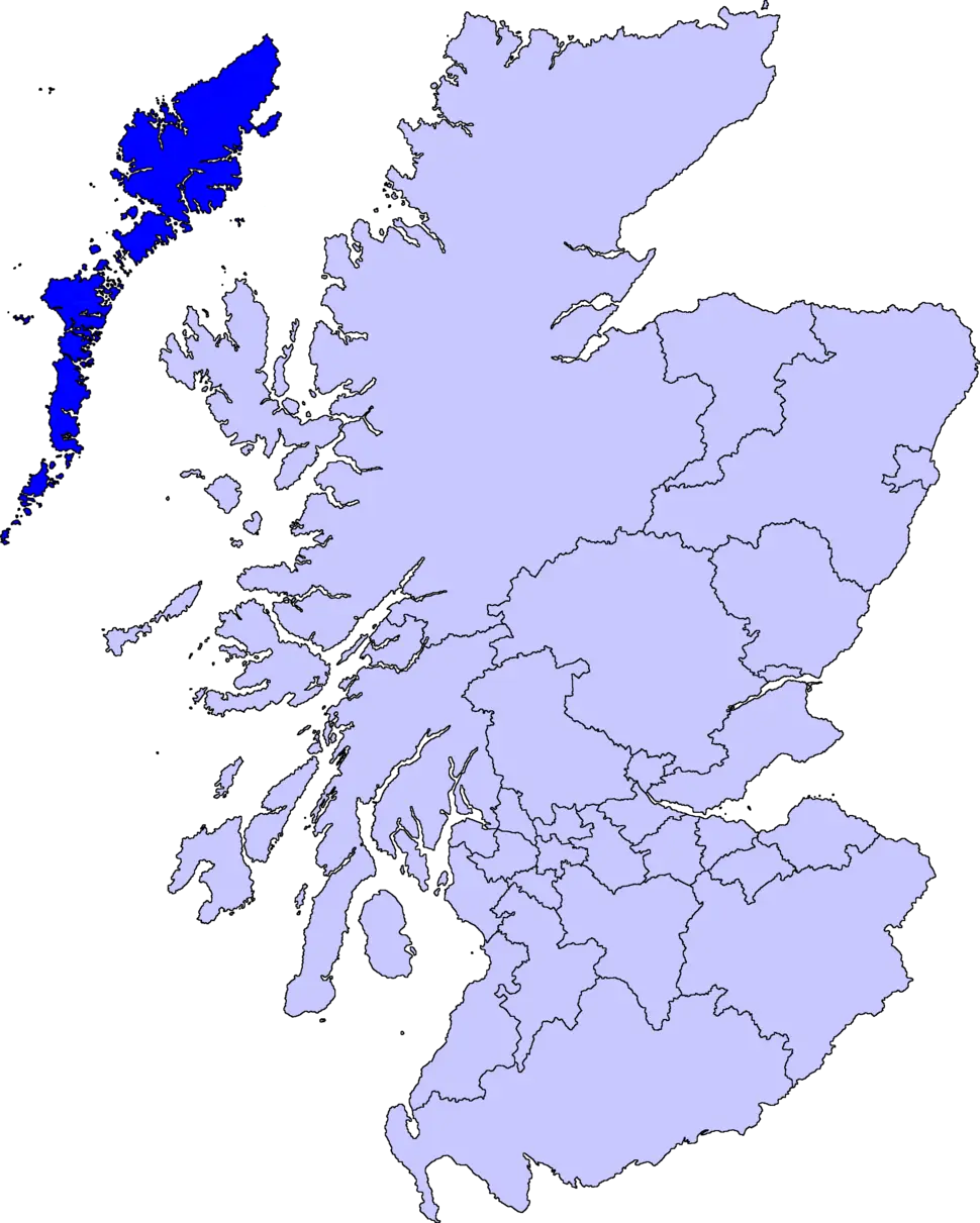
Map of Scotland with Regional Divisions -
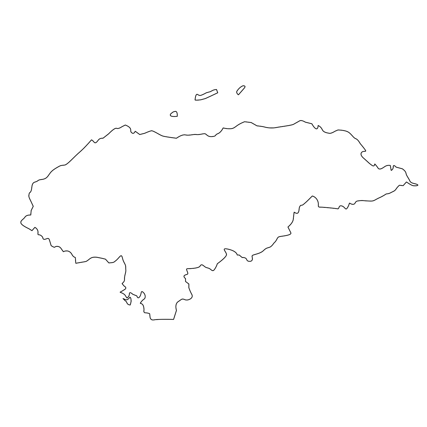
Outline Map of Honduras -
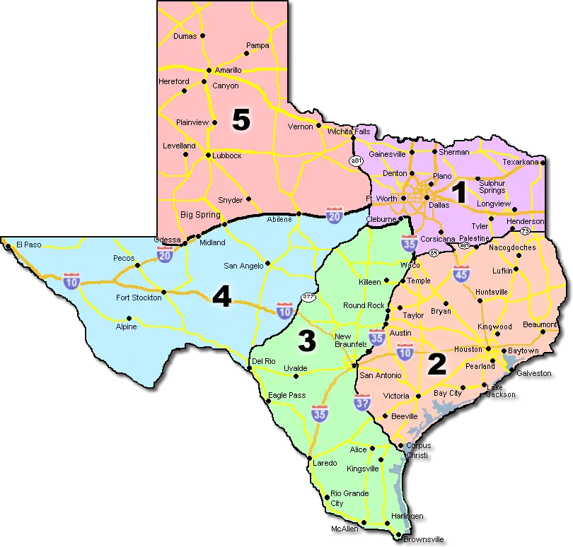
Map of Texas with Regions -
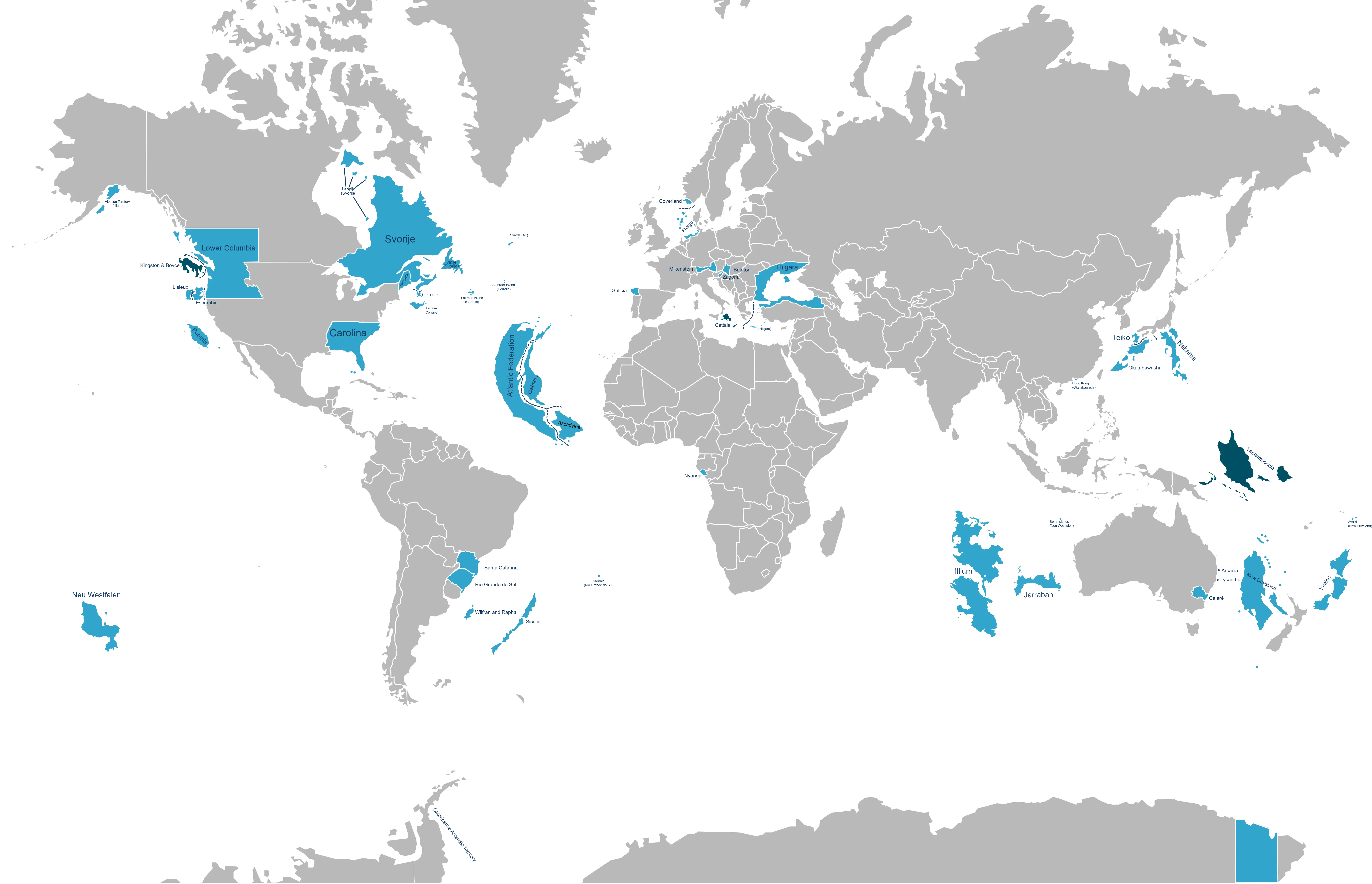
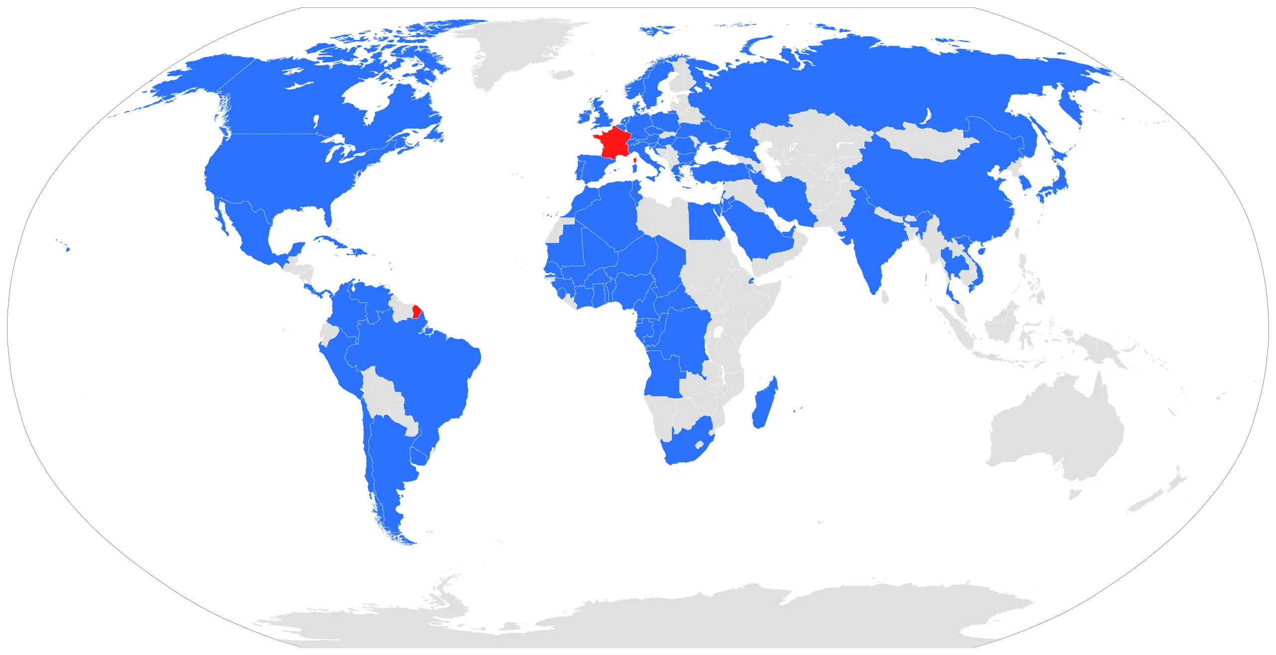
World Map with Highlighted Countries -
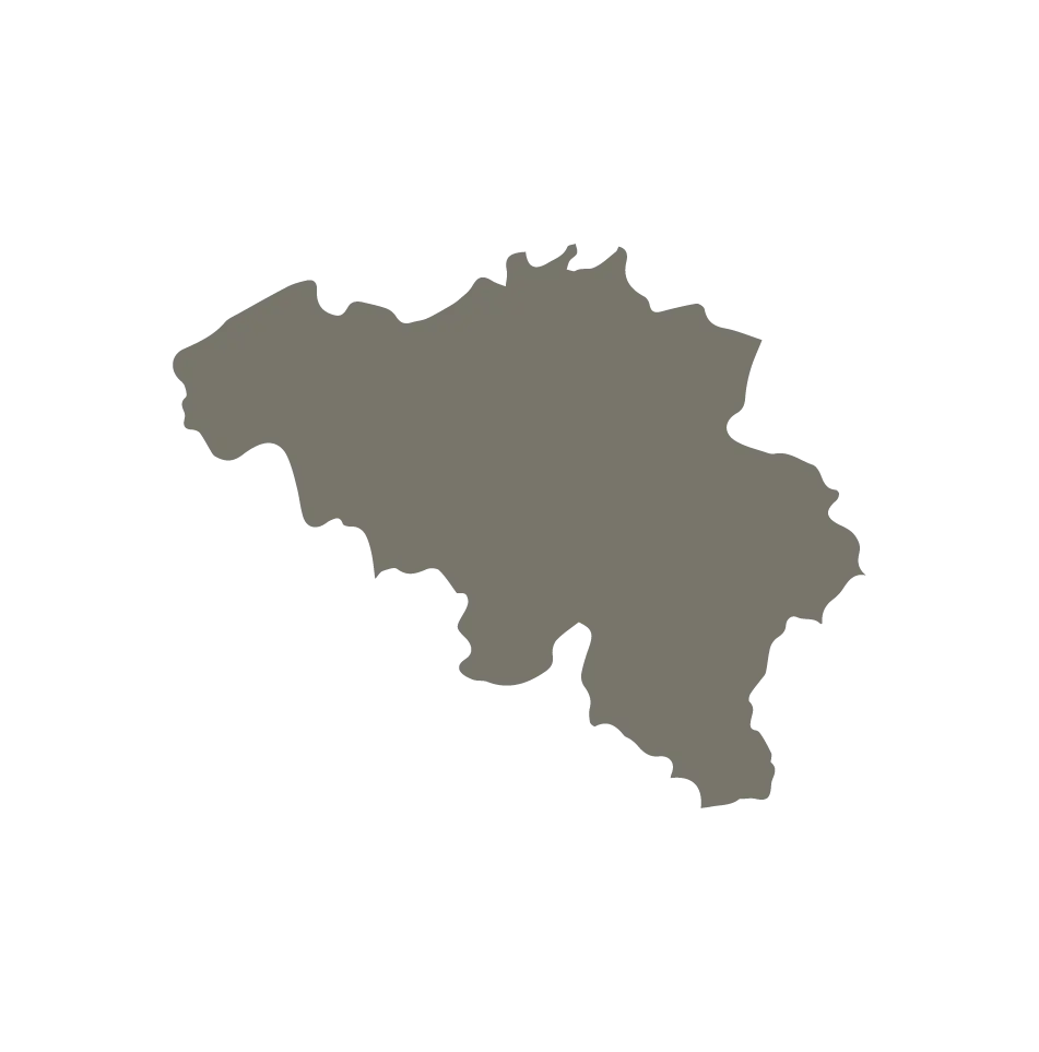
Map of Belgium -
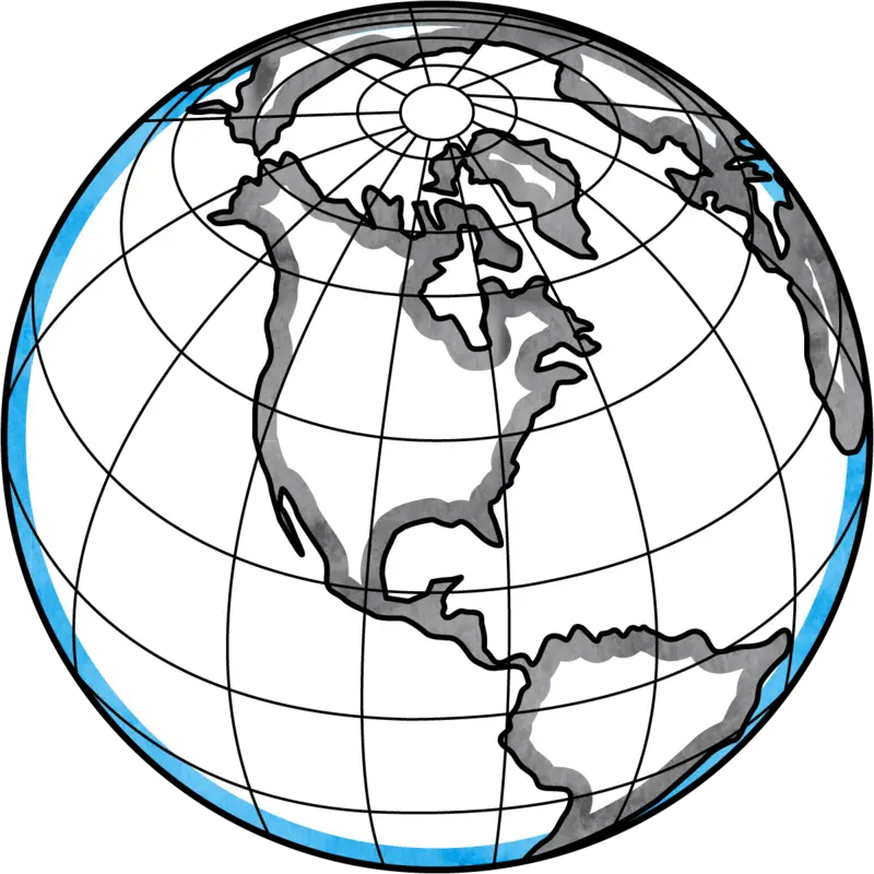
Globe Illustration Showing North America -
Detailed Regional Map