Free Geography Cliparts and Illustrations - Page 4
Free 463 geography cliparts & illustrations for your personalized works, such as world map with colored regions, map with highlighted region for geographical analysis, blue and white world map, 3d india map and many more.
-
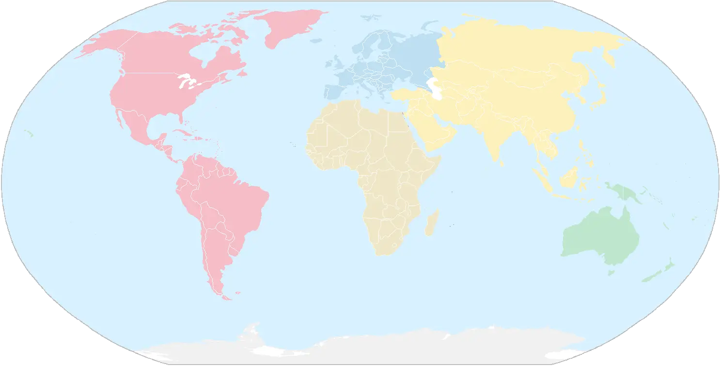
World Map with Colored Regions -
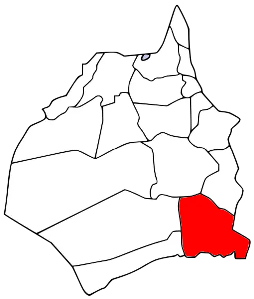
Map with Highlighted Region for Geographical Analysis -
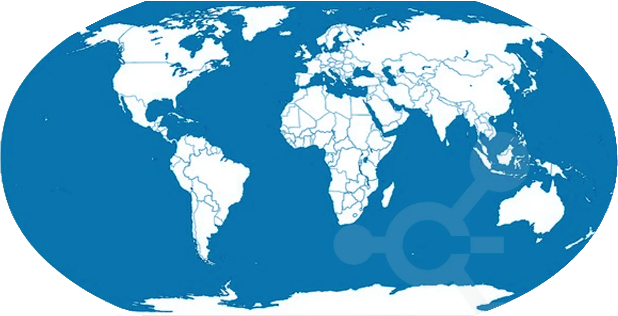
Blue and White World Map -
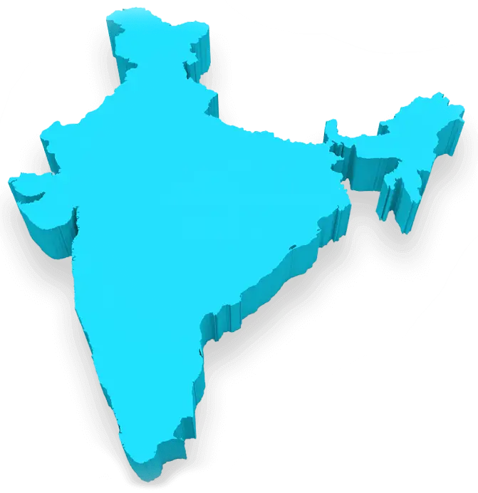
3D India Map -
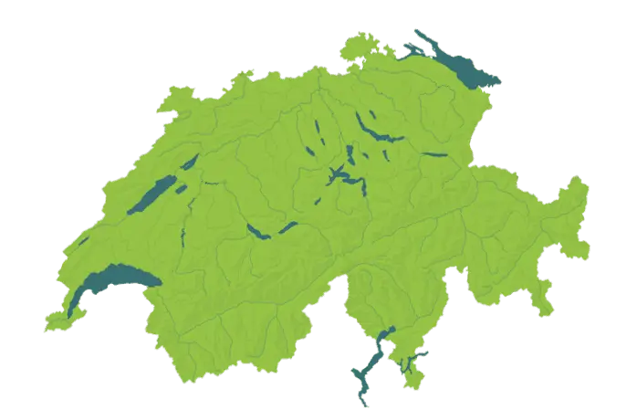
Map of Switzerland with Lakes -
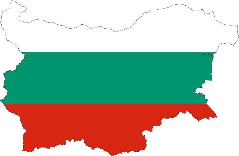
Map of Bulgaria with National Colors -

Map of Jordan -
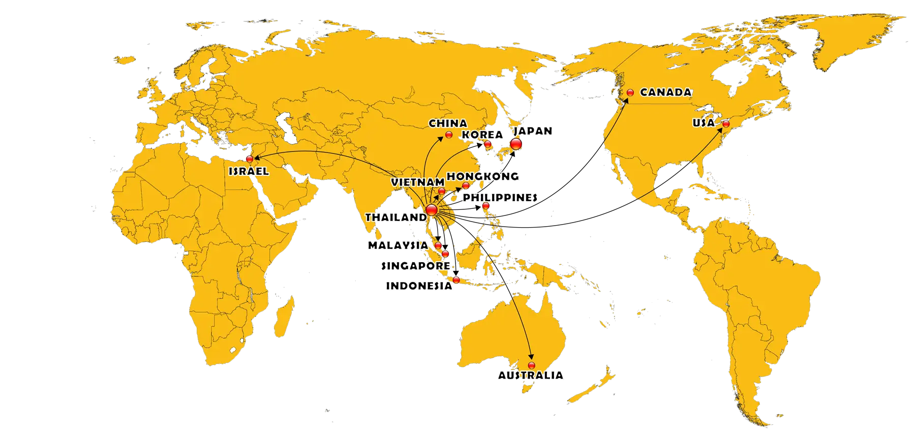
World Map with Country Connections -

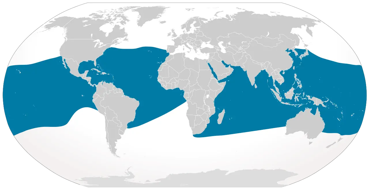
Antarctica Illustration on Globe -
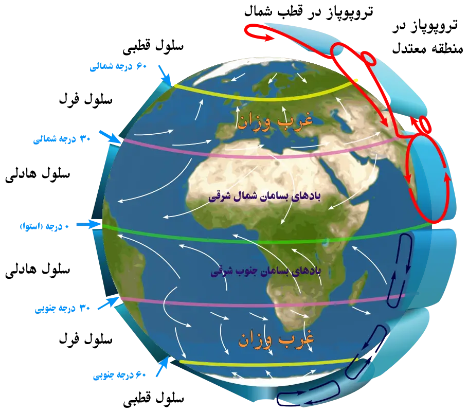
Earth Climate Map -
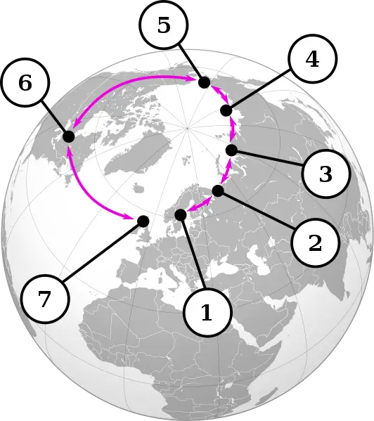
World Map with Routes -

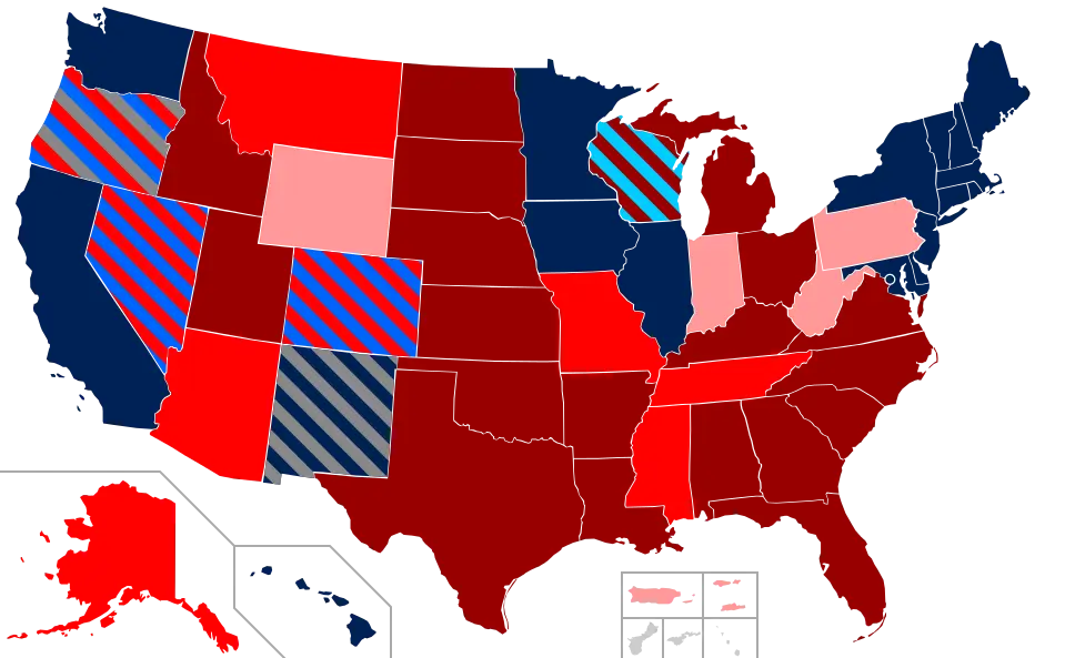
New York State Highlighted on USA Map -
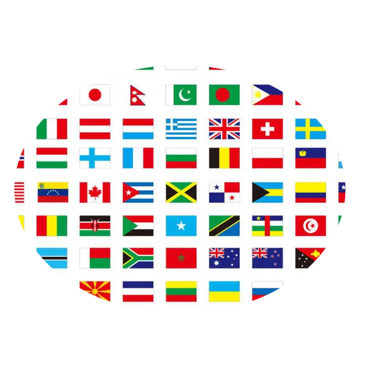
Collection of International Flags -

Small Globe Illustration for Global Concepts -
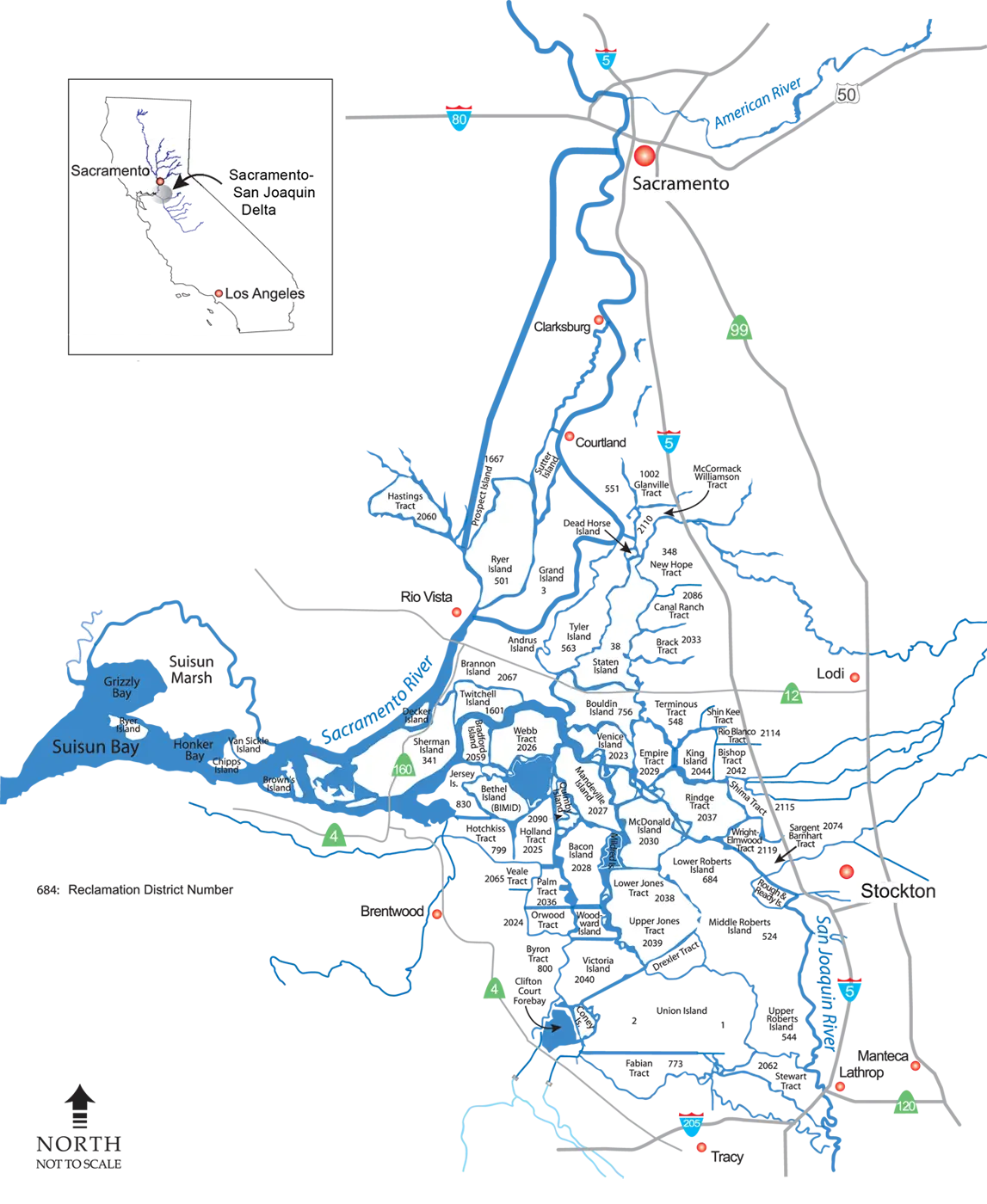
Map of Sacramento and Surrounding Areas -
World Map with Highlighted Regions -

Sri Lanka Map with National Flag -
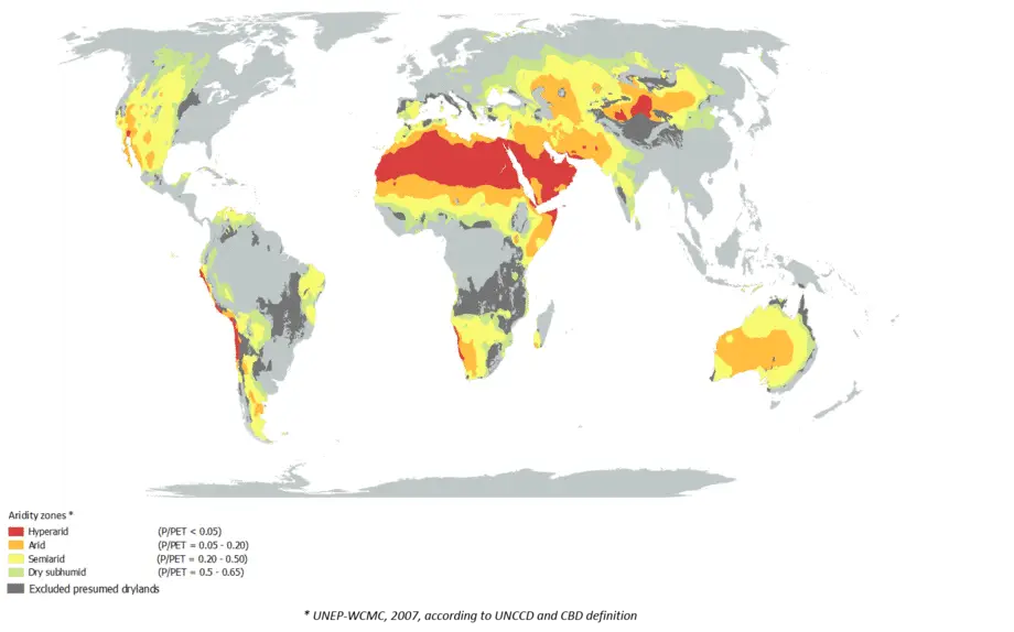
World Map Highlighting Climate Zones -

Black World Map Icon Illustration -
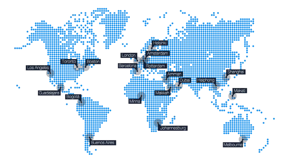
Global Map with Location Markers -

Globe of the Earth -
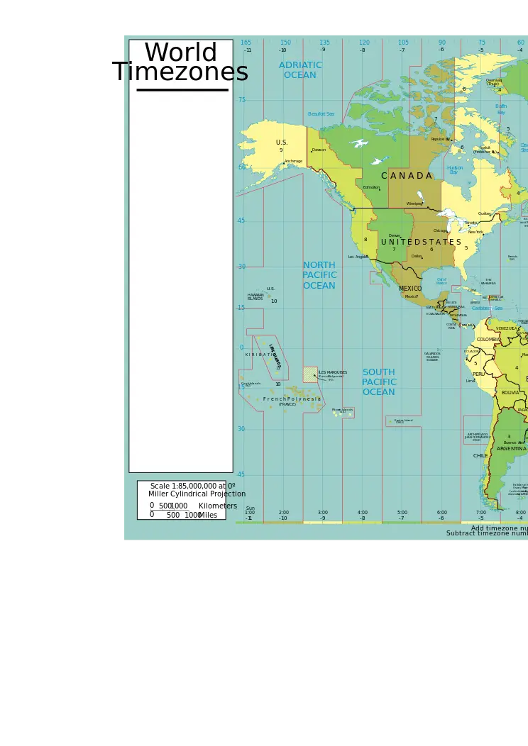
World Map with Timezones -

Blue Globe Illustration Highlighting Asia and Australia -
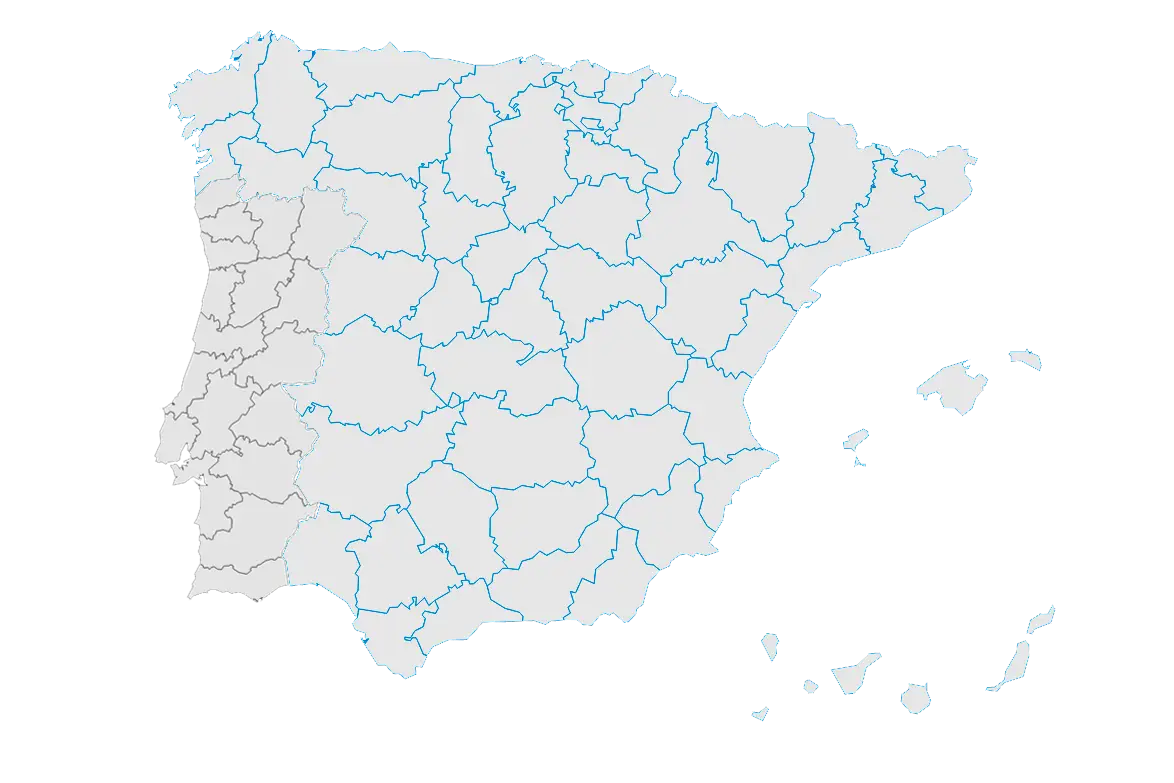
Geographical Map of Spain with Rivers -
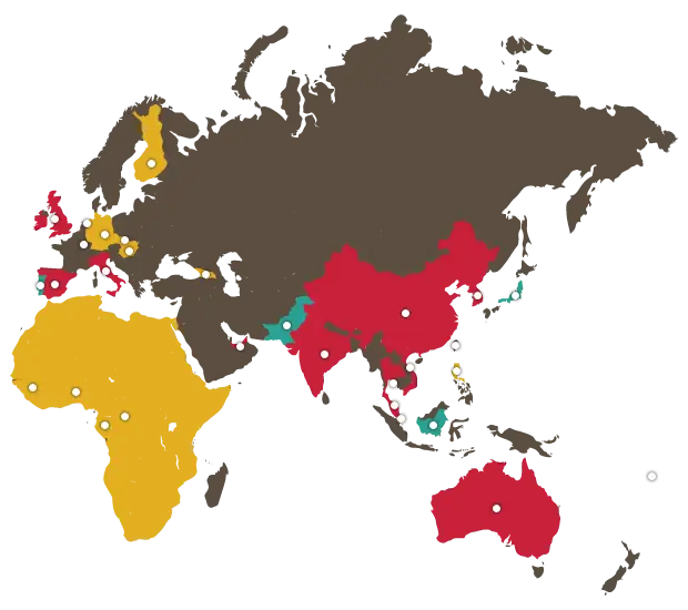
Color-Coded World Map for Geography Learning -

Magnifying Glass Over World Map -
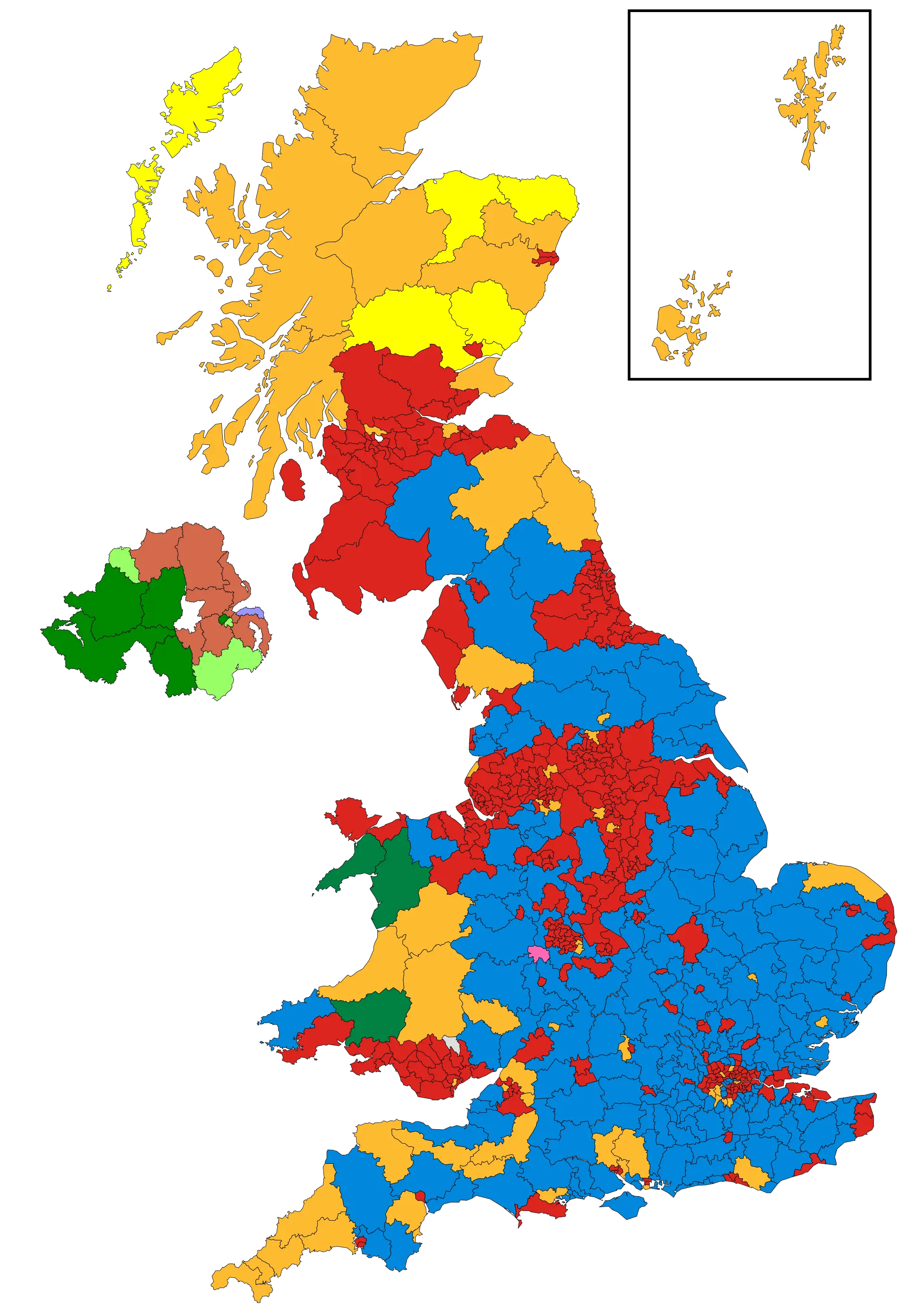
Colored Territorial Map of the UK -
Blue and White World Map Illustration -

Blue Globe Illustration -
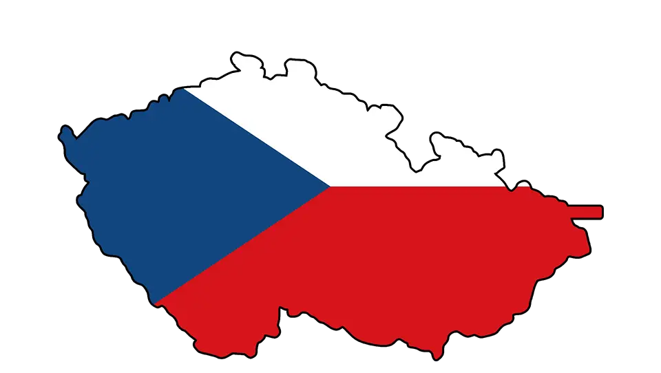
Czech Republic Flag Inside Country Map -
World Map Highlighting Continents and Oceans -

Cute Italy Map with Flag -

Blue Map Silhouette of China -

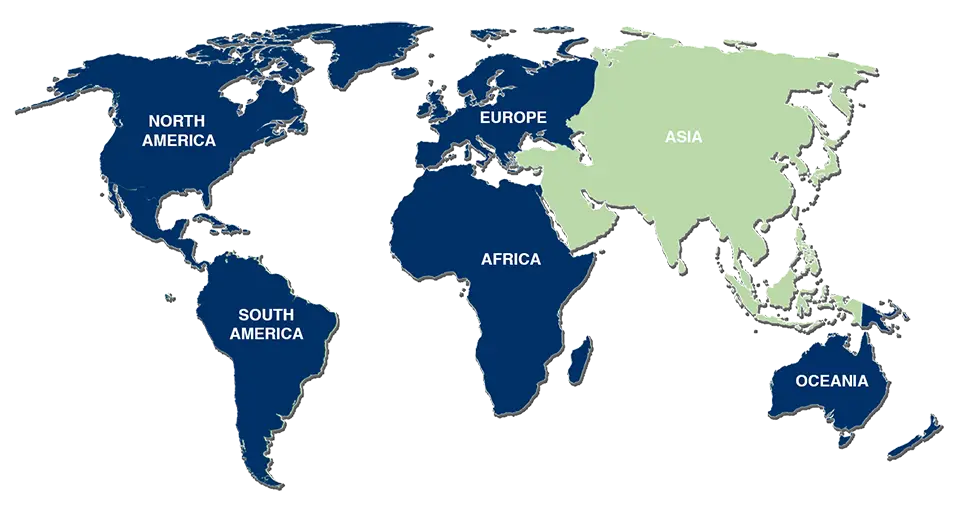
Global Map Highlighting Asia -

Florida State Outline Map -
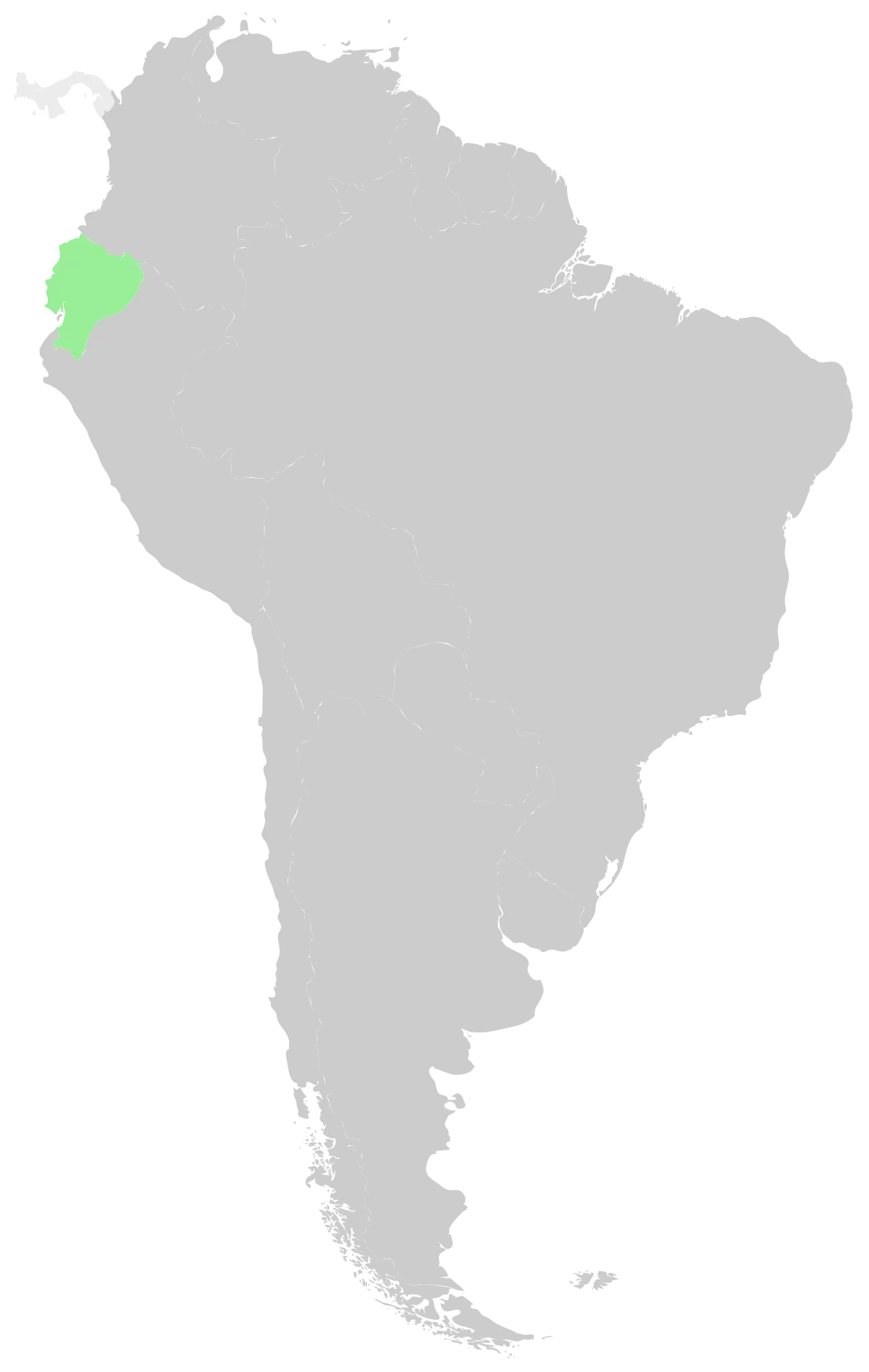
Map of South America Highlighting Ecuador -
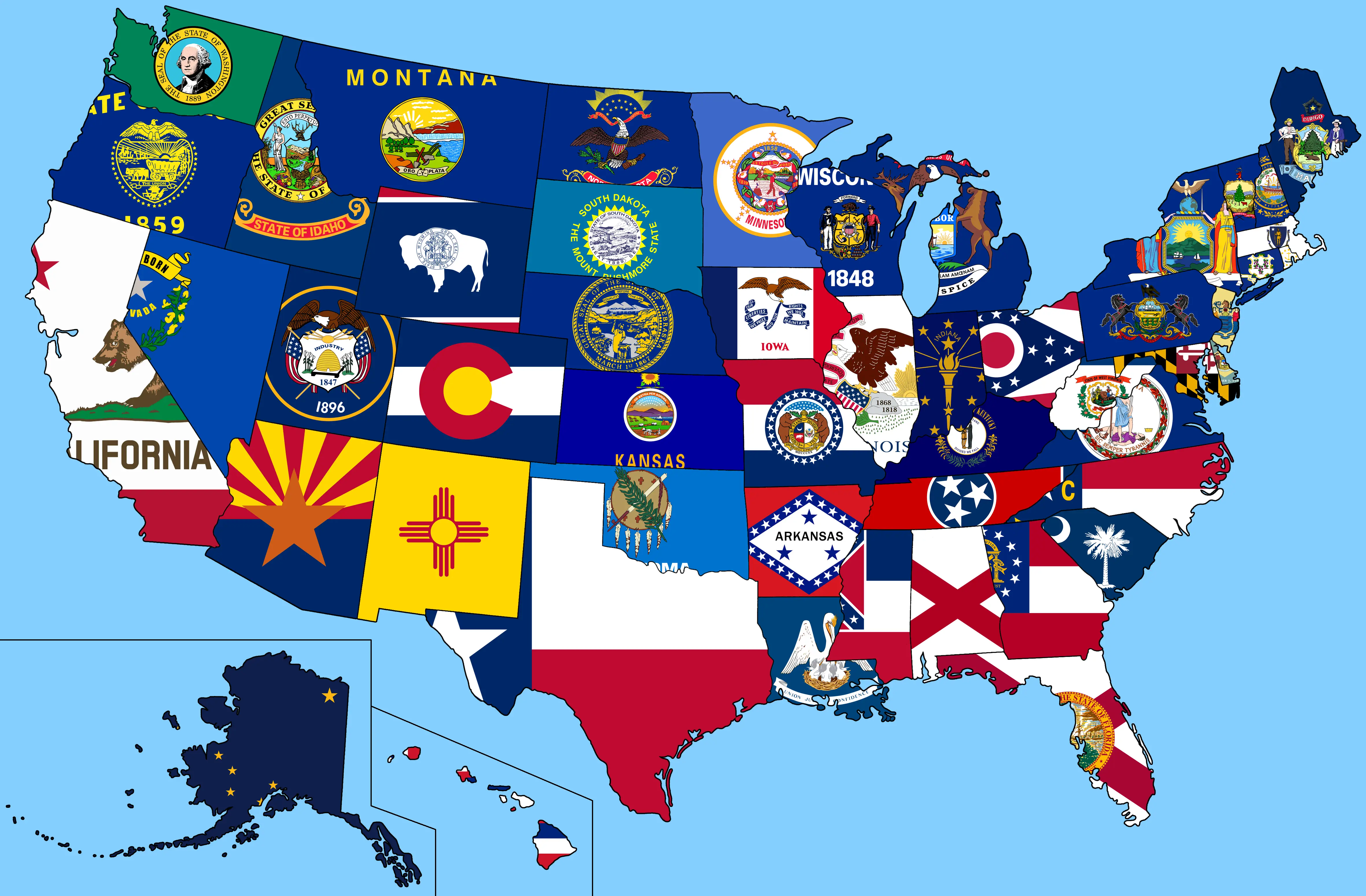
USA Map with State Flags -
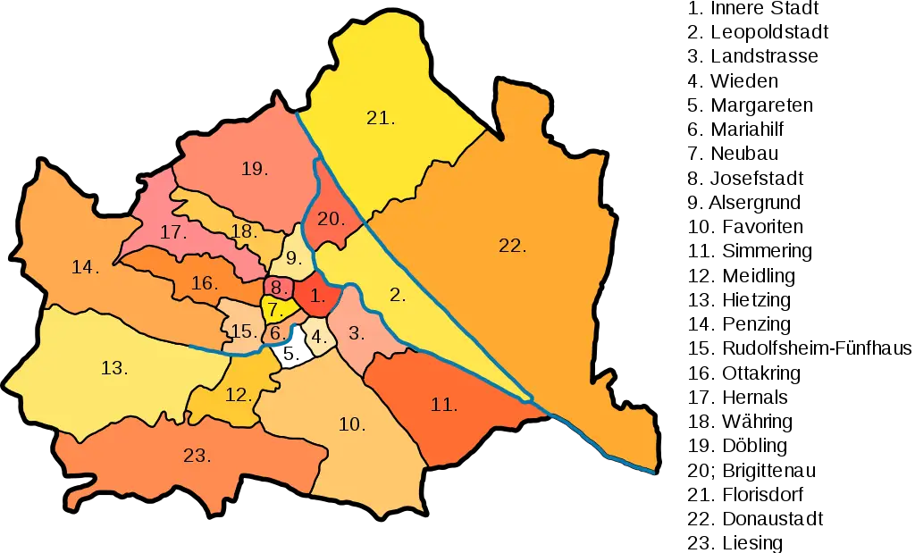
Color-coded City District Map -

Outline Map of the United States with State Borders -

Globe with Book and Glasses -
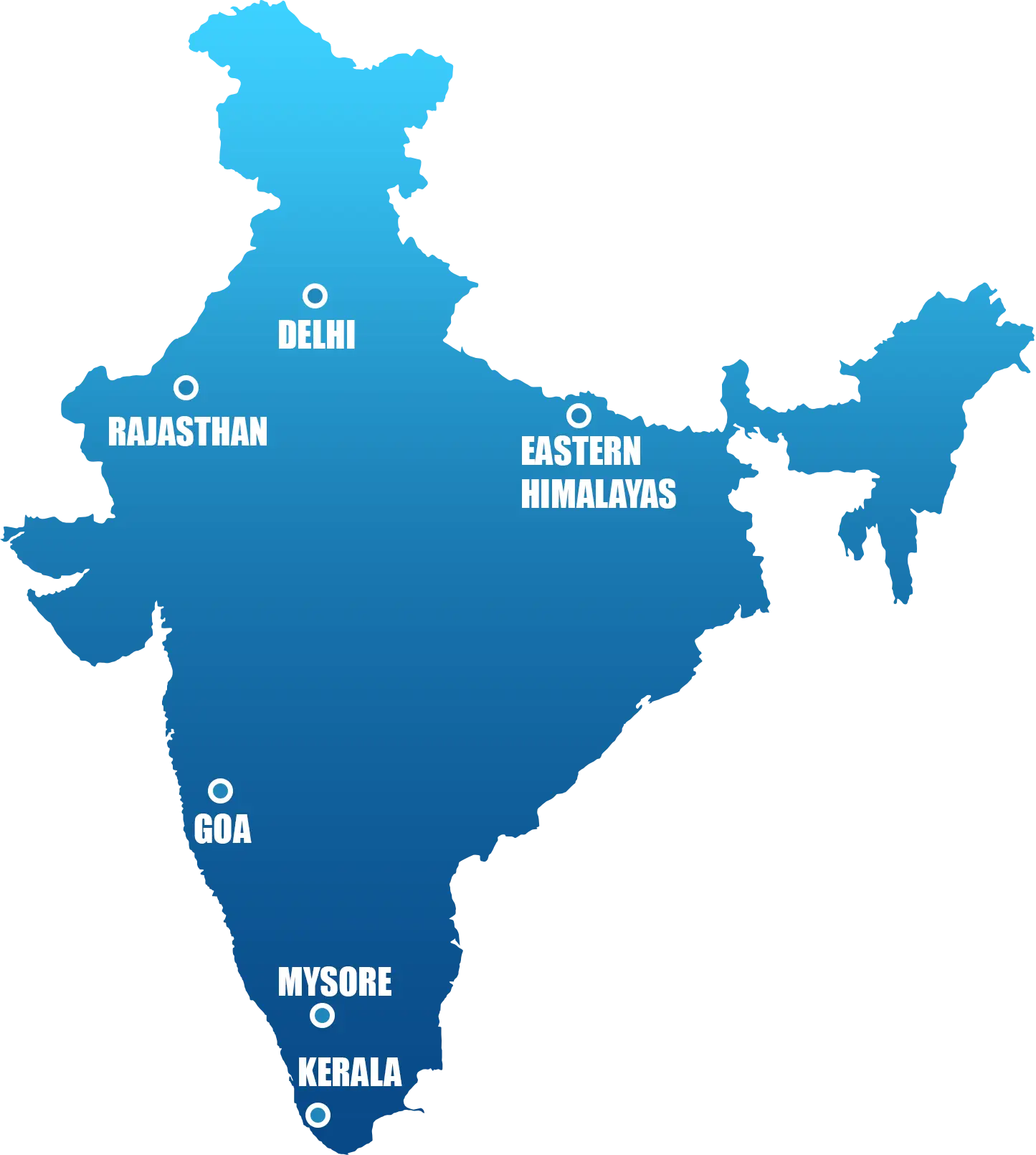
Map of India with Regions -
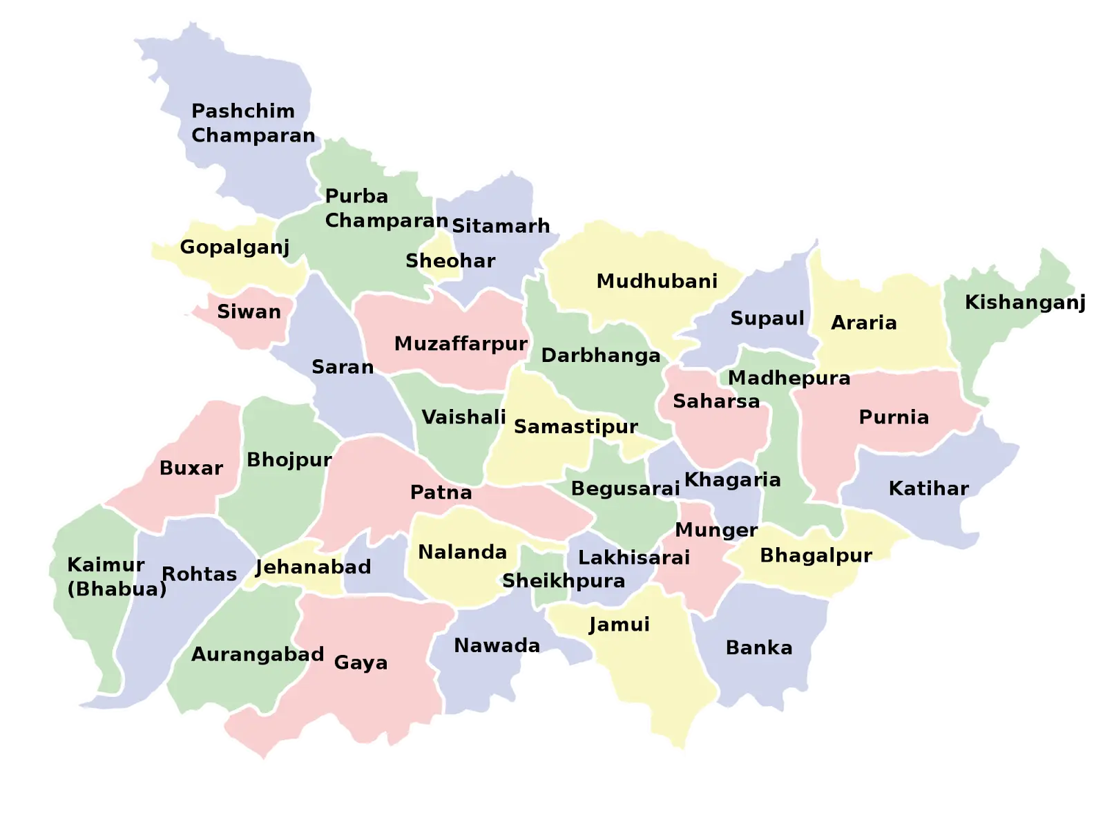
Map of Bihar with District Divisions -
Colored World Map for Geographic Representation -
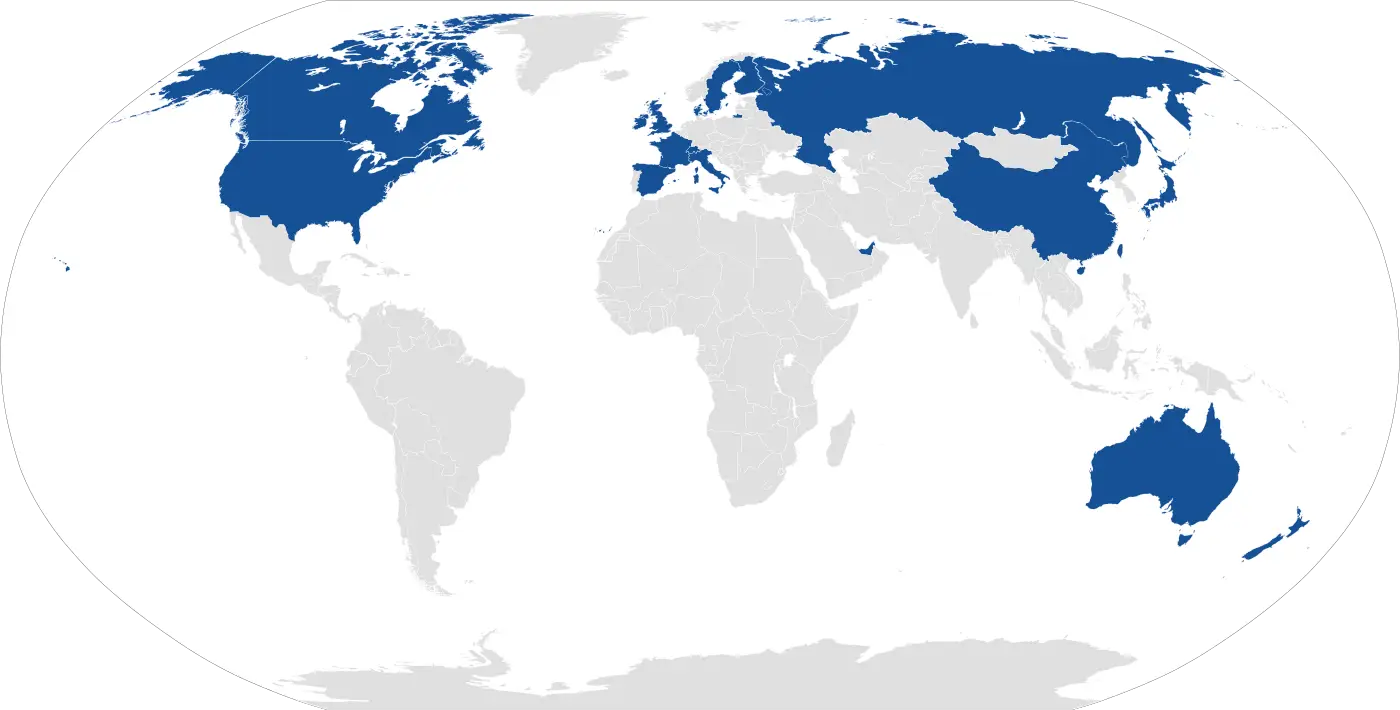
World Map with Marked Countries in Blue -
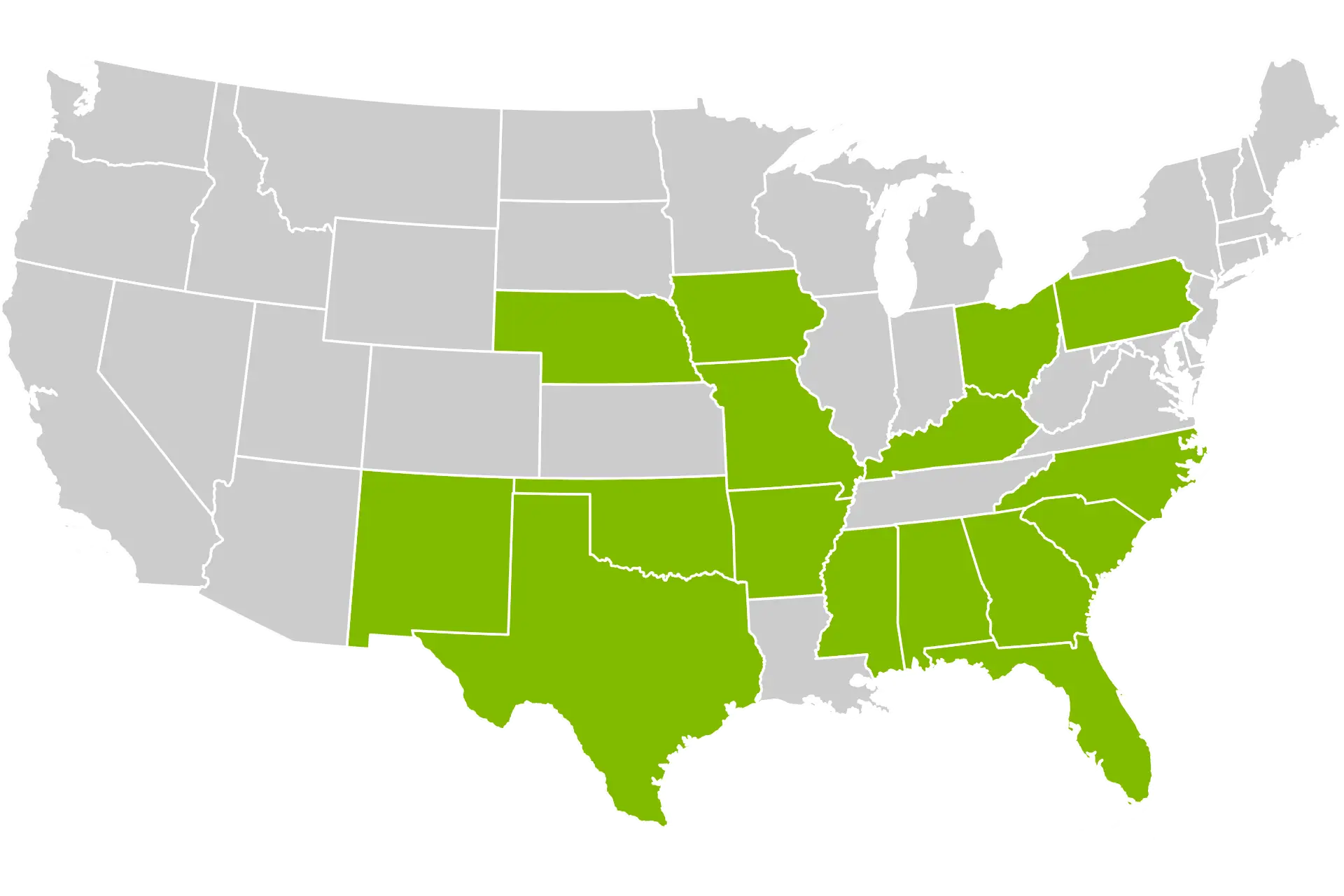
USA Map Highlighting Specific Regions -
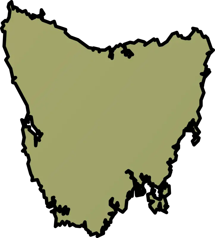
Map of Tasmania -

Black Silhouette of Germany Map -
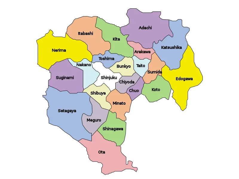
Map of Tokyo Wards -
Colored USA Map with State Divisions -

Texas State Map with Flag Overlay