Free Geography Cliparts and Illustrations - Page 5
Free 463 geography cliparts & illustrations for your personalized works, such as world map highlighting a country, blue illustrated map of russia, map with region highlighted in red, colorful map of los angeles neighborhoods and many more.
-
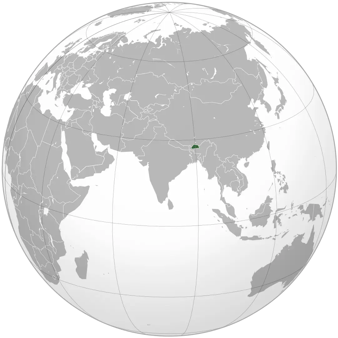
World Map Highlighting a Country -
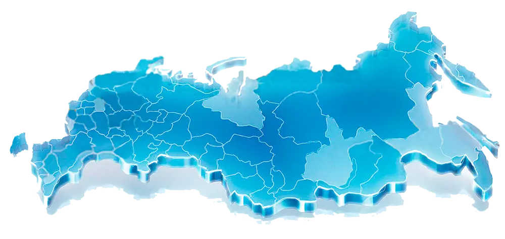
Blue Illustrated Map of Russia -
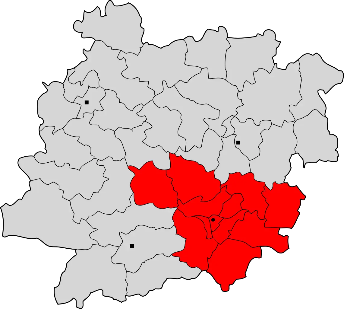
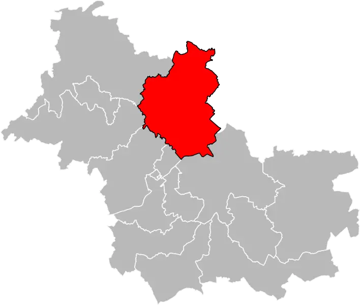
Map with Region Highlighted in Red -
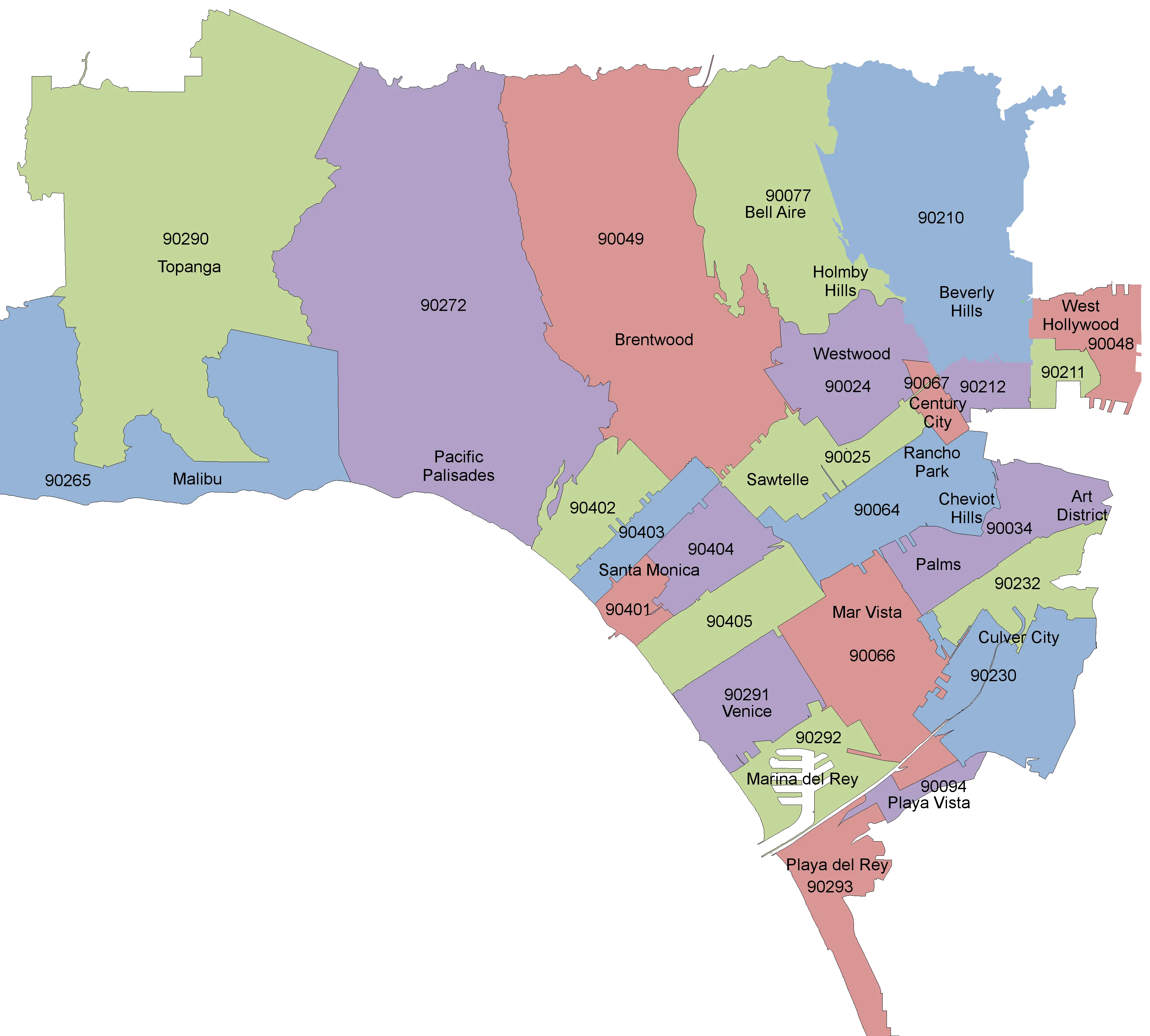
Colorful Map of Los Angeles Neighborhoods -
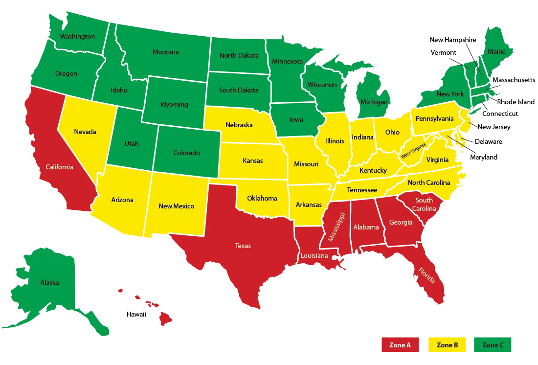
Color-Coded Map of the United States Regions -
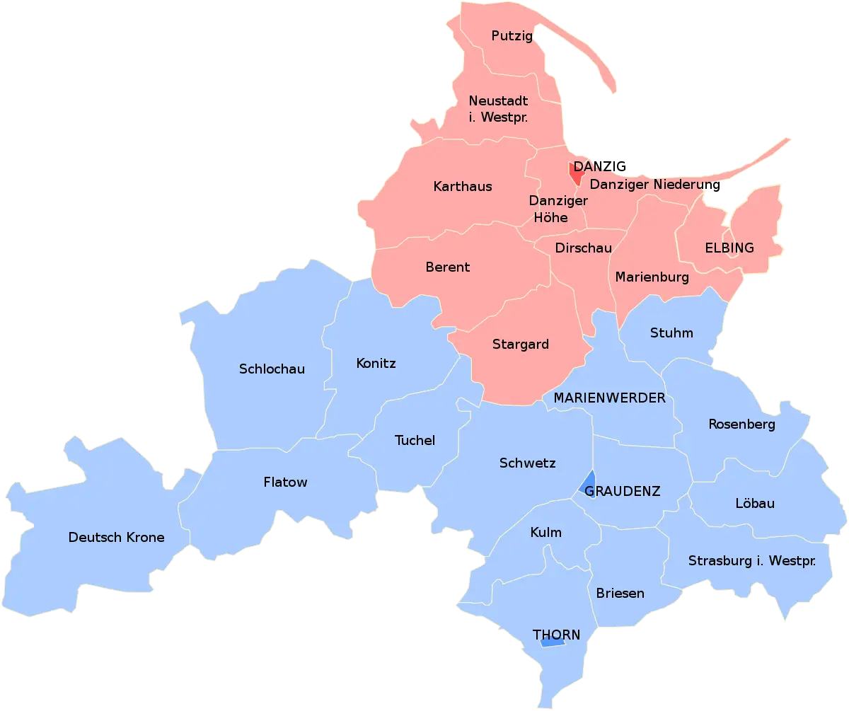
Political Map with Regions and Boundaries -
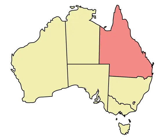
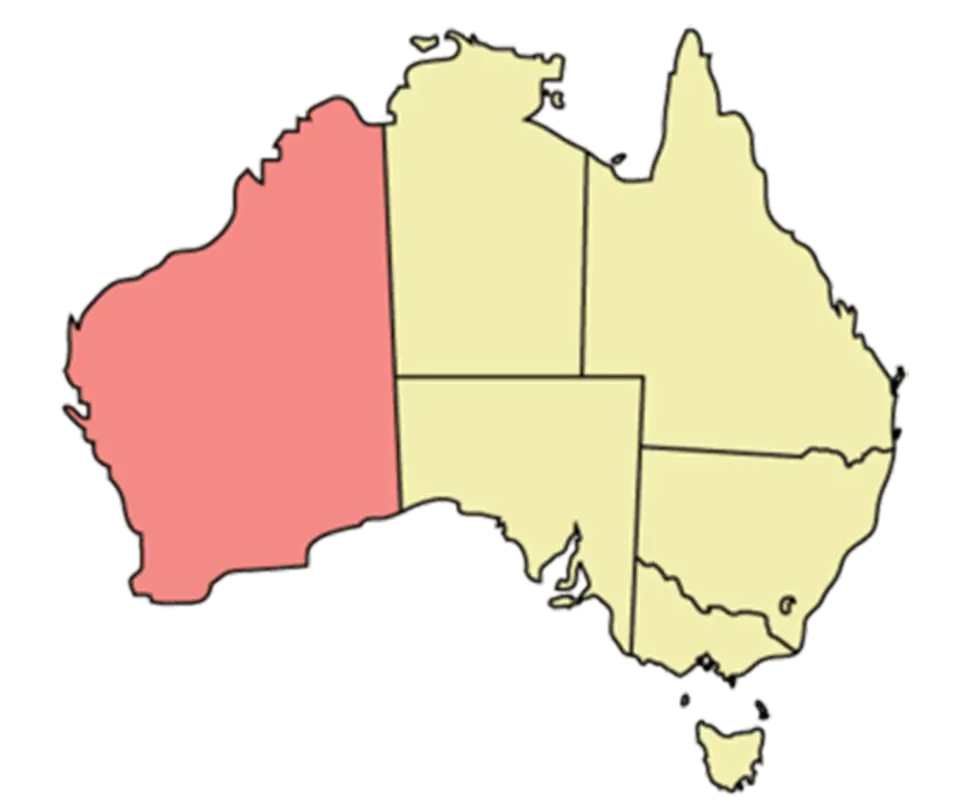
Outline and Region Illustration of Australia Map -
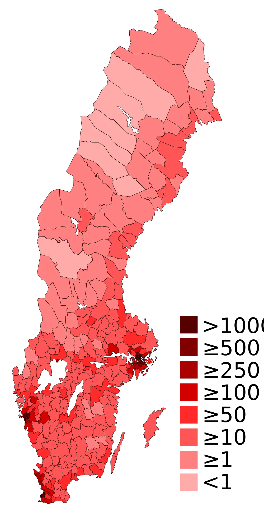
Population Density Map of Sweden -
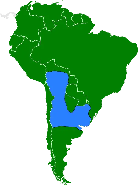
South America Map with Blue Highlighted Region -
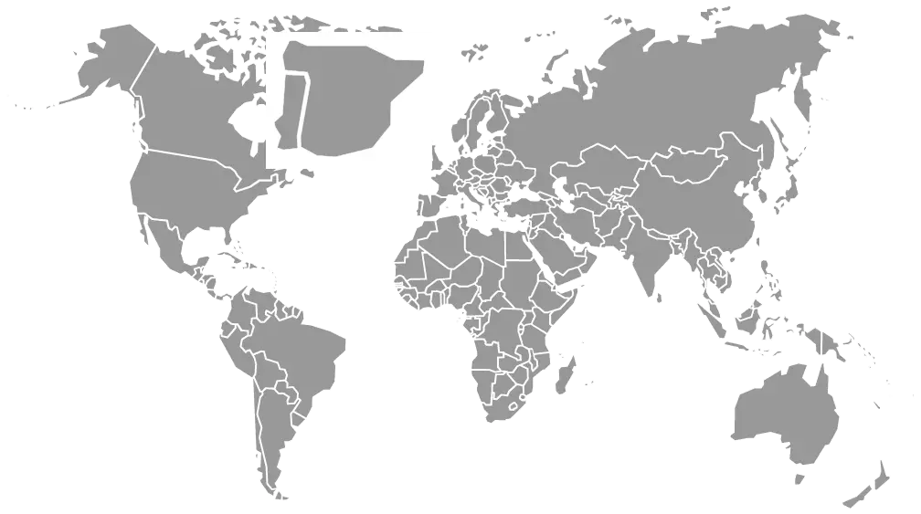
Gray World Map Illustration -
Colorful World Map Illustration -
Map of Australia -

Outline Map of Australia -
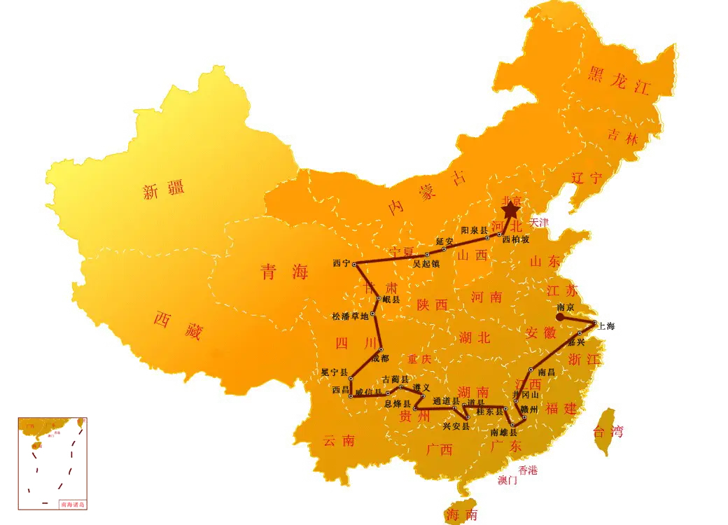
Map of China -

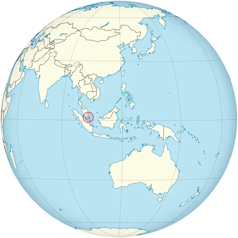
Asia-Pacific Region Map Representation -
Map Region with Highlighted Red Area -
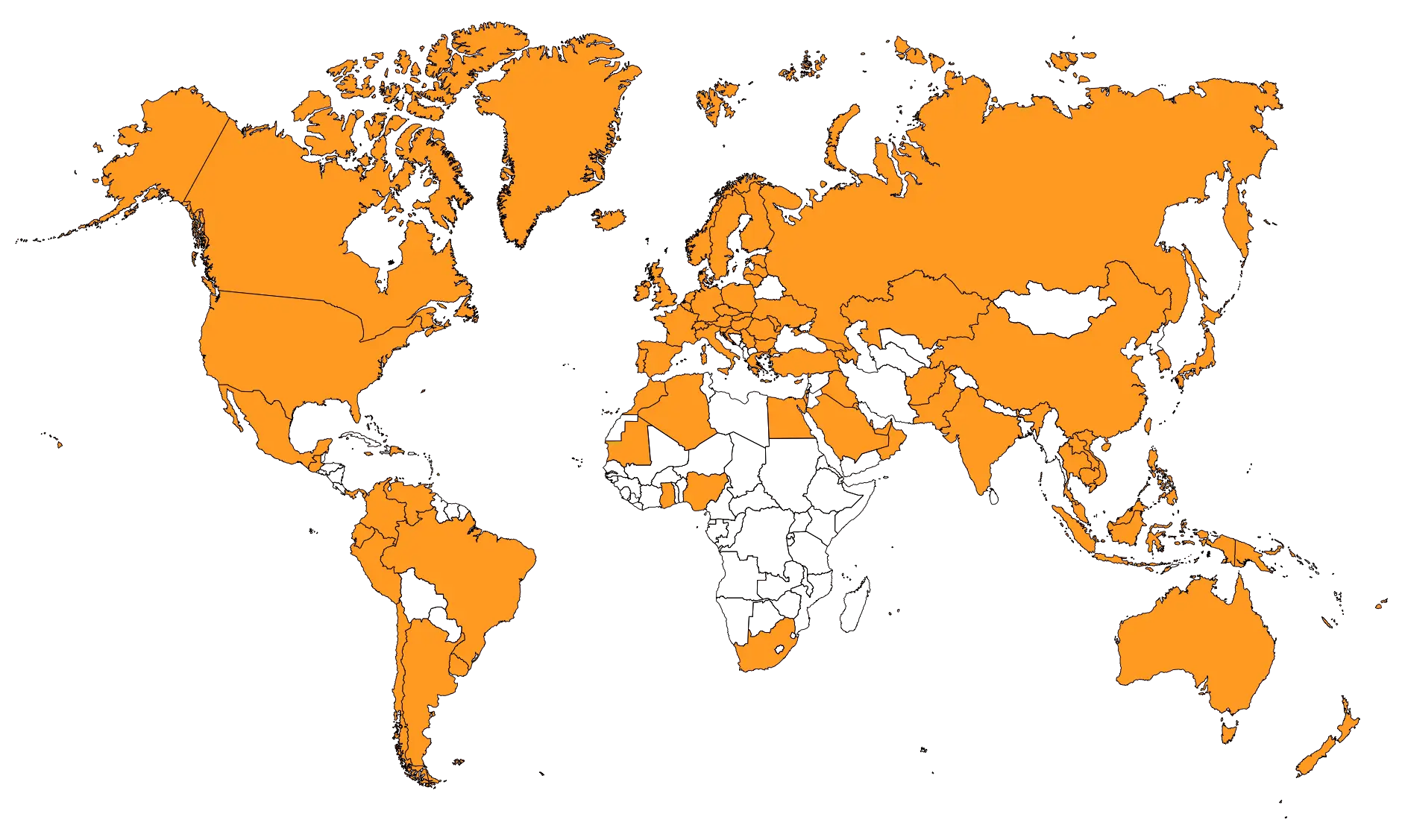
Orange World Map Illustration -
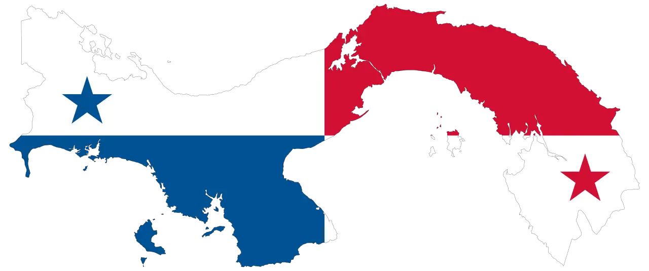
Map of Panama with Flag Colors -

Global Map Pin Icon for Location Representation -

Silhouette Map of Florida -
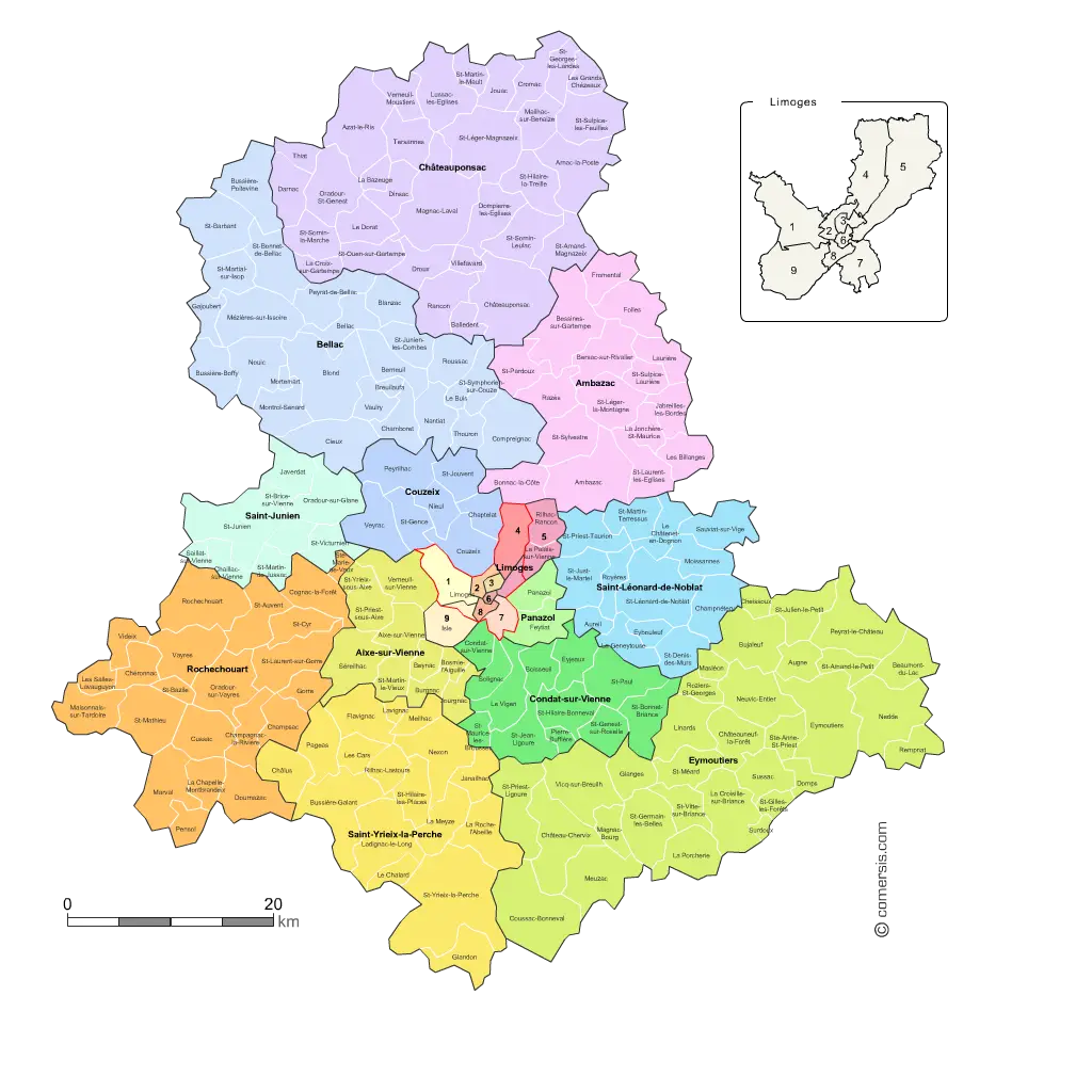
Colorful Regional Map Representation -
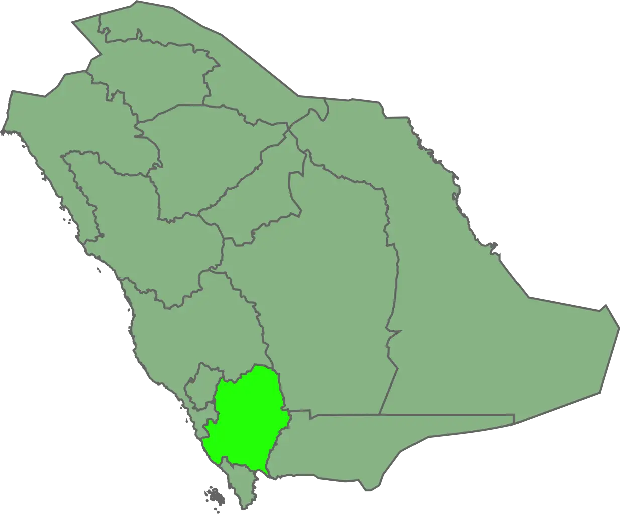
Map of Saudi Arabia with Highlighted Region -
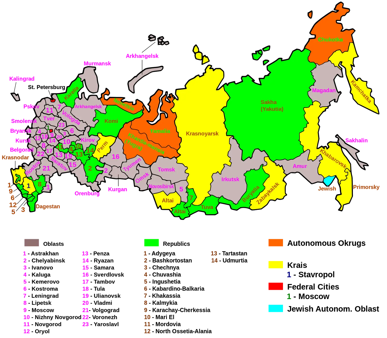
Map of Russian Regions with Colorful Divisions -
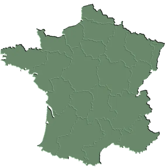
Green Map of France with Regions -
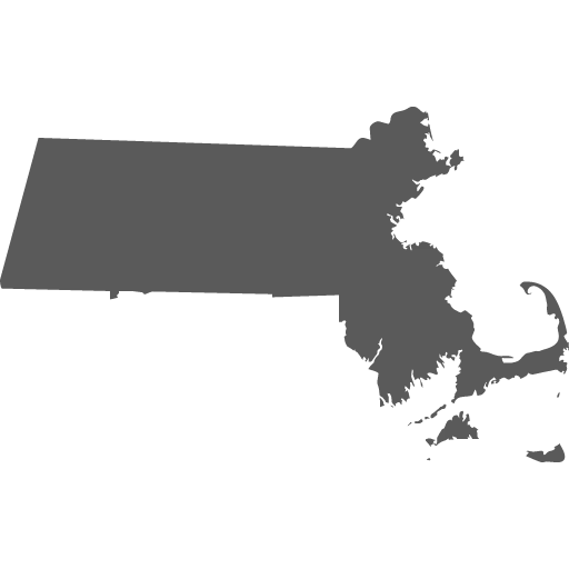
Silhouette Map of Massachusetts State -
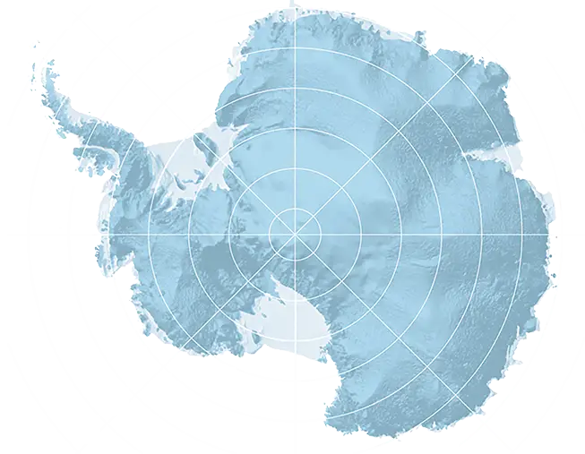
Antarctica Map -
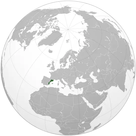
Europe Map Highlighted on World Globe -
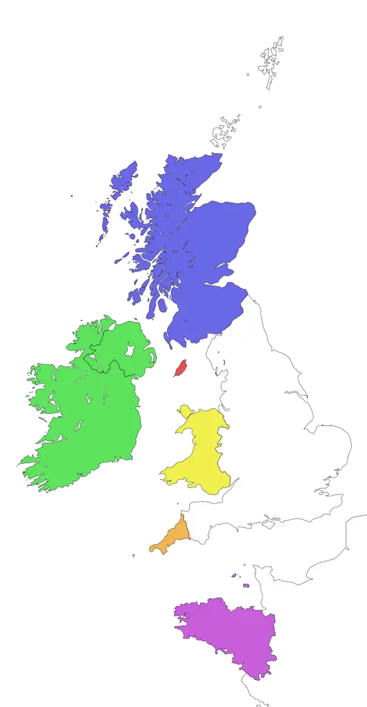
Colored Map of United Kingdom and Ireland -

Vermont State Map -

Black Silhouette Map of Switzerland -
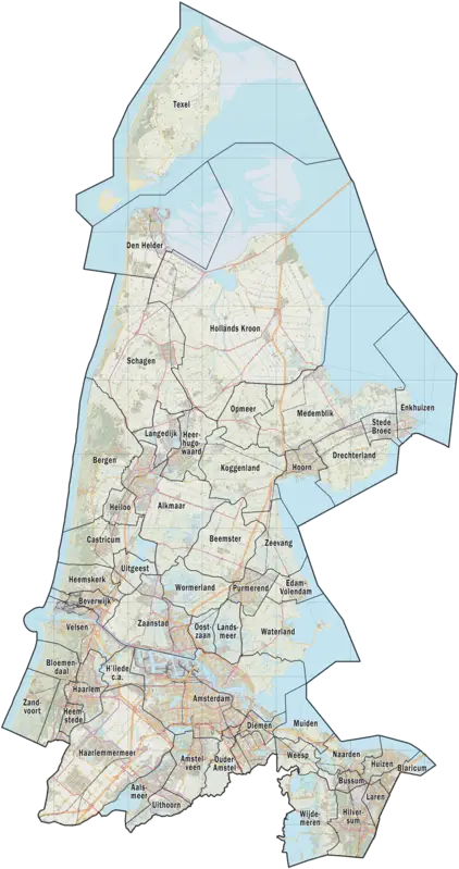
Map of North Holland Region -
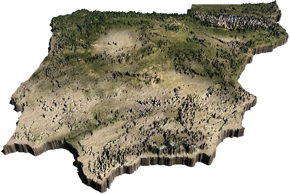
3D Terrain Map -
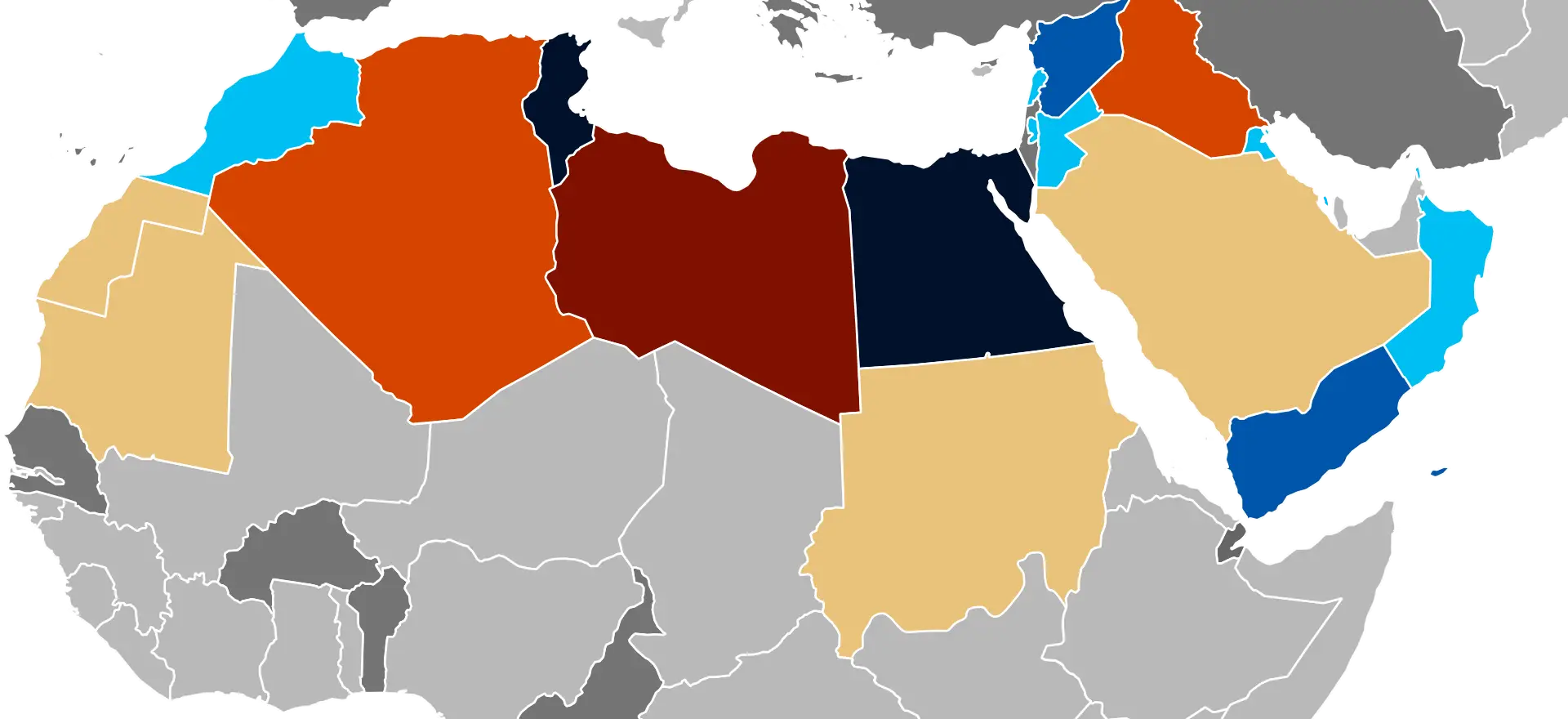
Colorful Map of North Africa and Middle East -
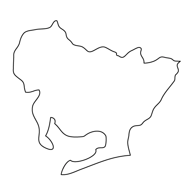
Outline of a Map -
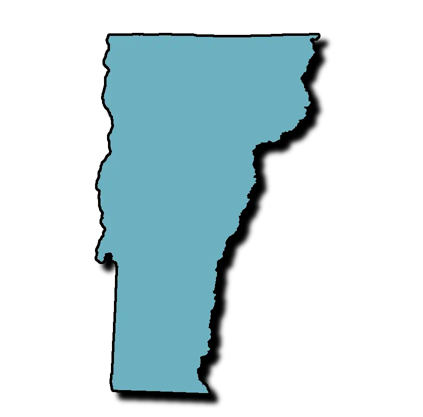
Vermont State Map Silhouette -
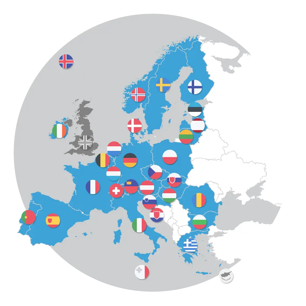
European Countries Map with Flags -
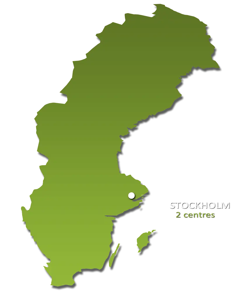
Map of Sweden -
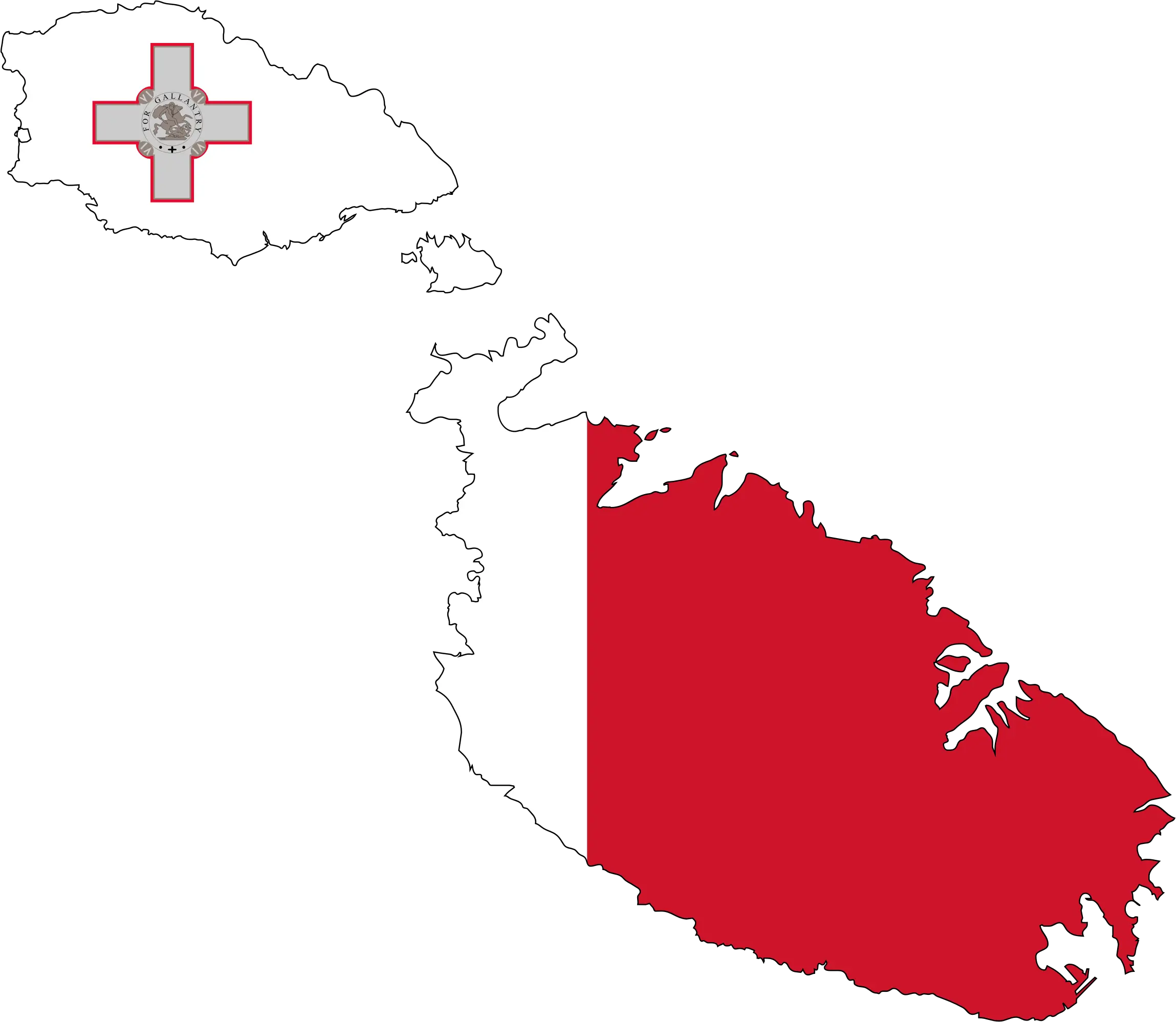
Map of Malta with Flag -
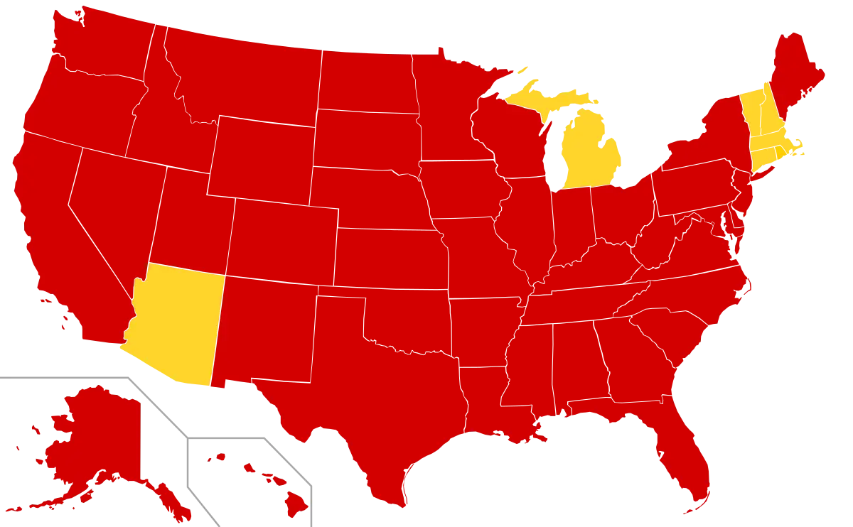
Red and Yellow USA Map Visualization -
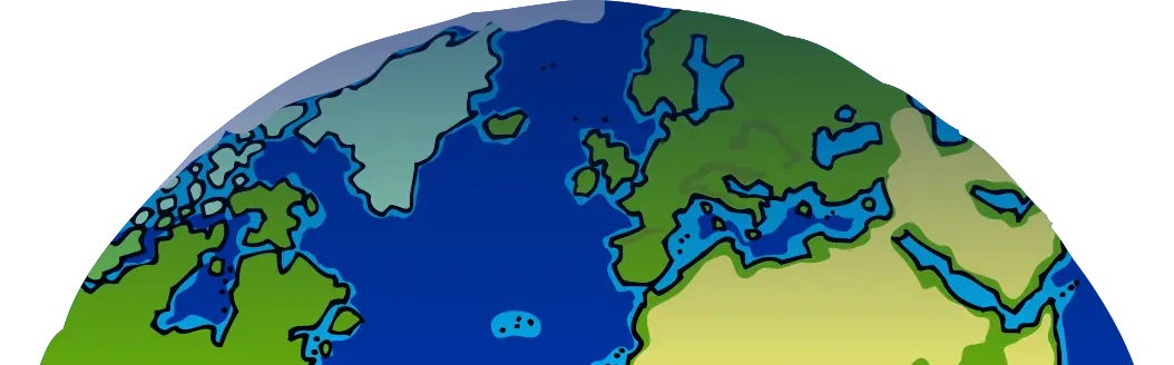
World Map Globe Showing Oceans and Continents -
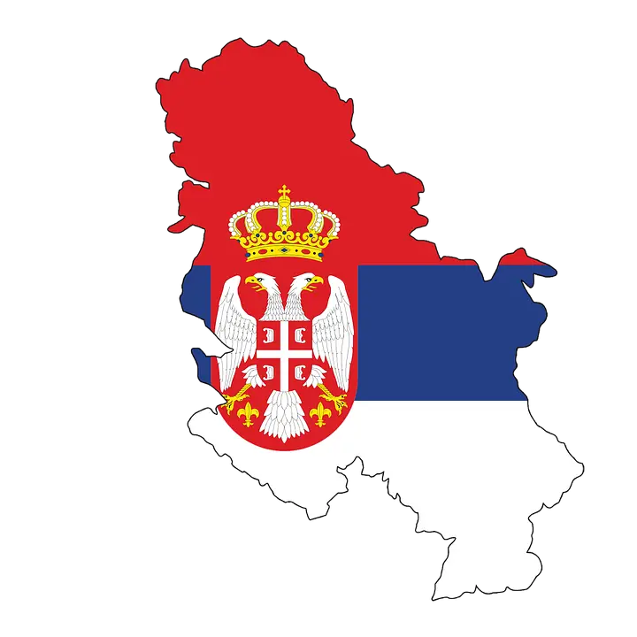
Map of Serbia with Flag Design Overlay -
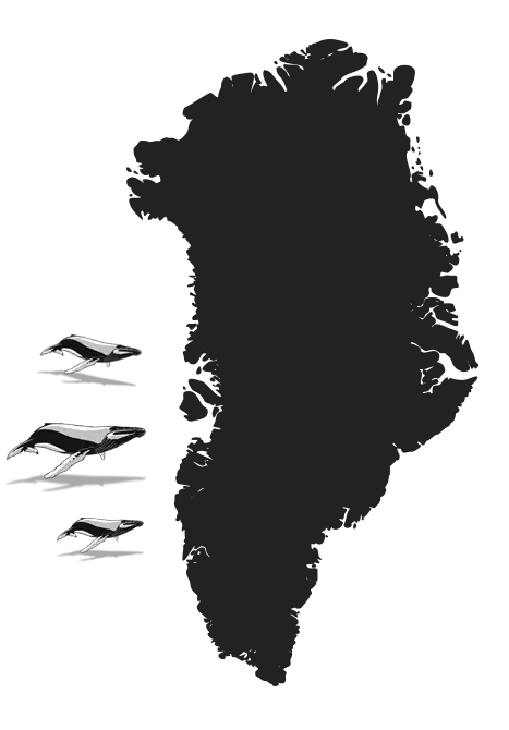
Silhouette Map of Greenland -
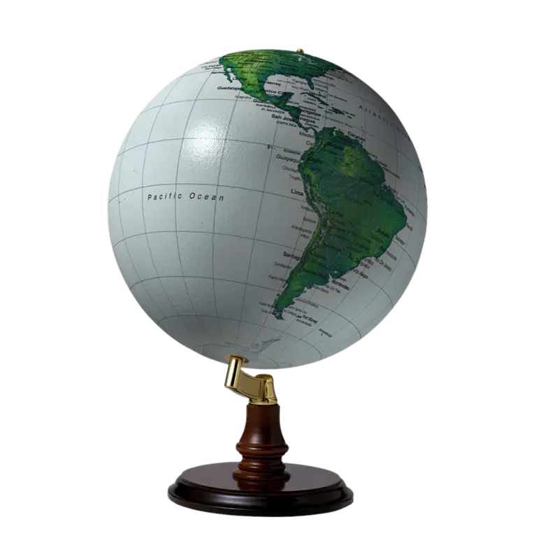
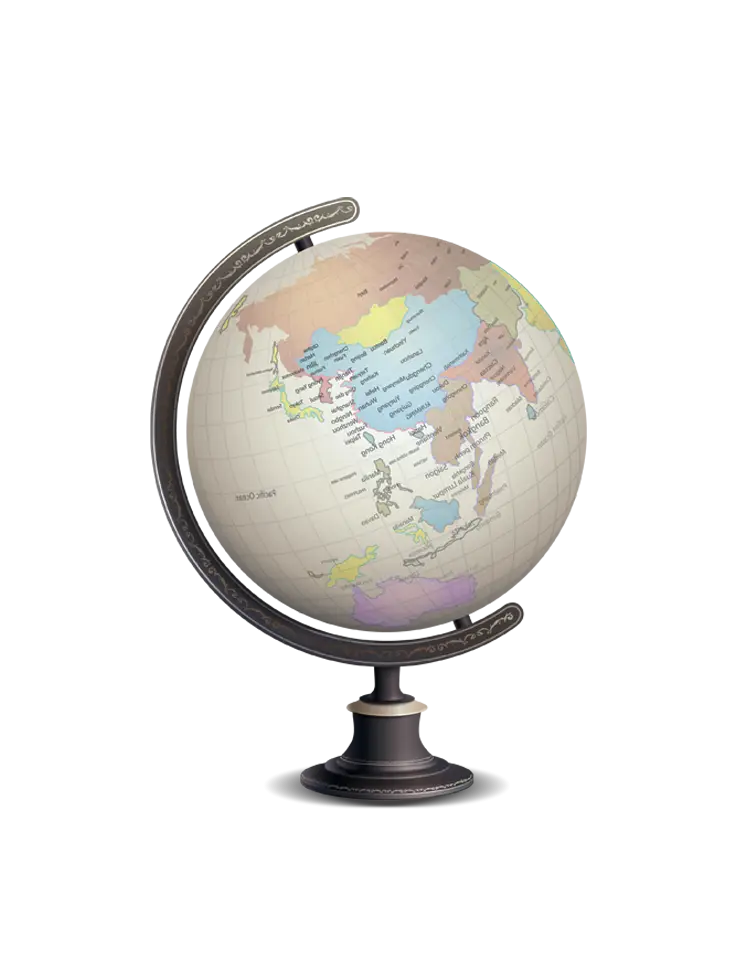
World Globe on Stand -

Earth Globe Illustration with Continents -
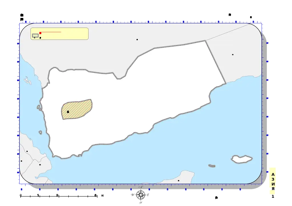
Map of Yemen with Coastal Outline -
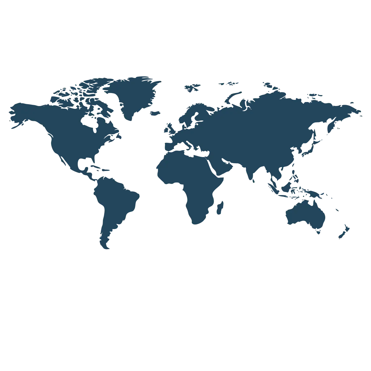
World Map in Blue -
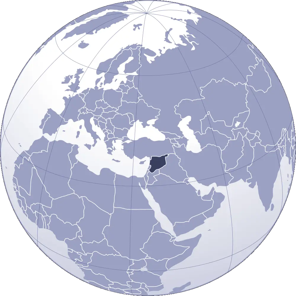
Turkey Highlighted on World Globe Map -
Classic Globe Illustration -
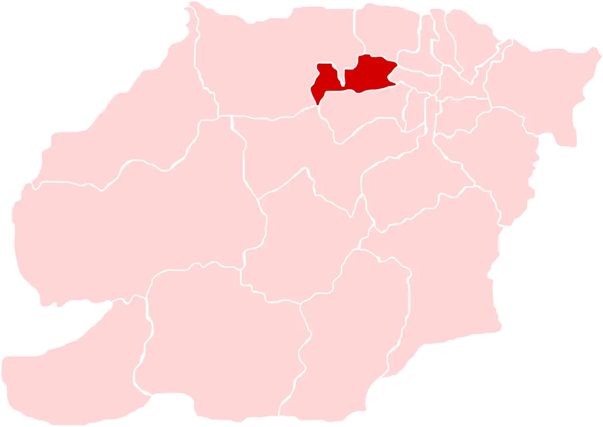
Regional Map with Highlighted Red Area -
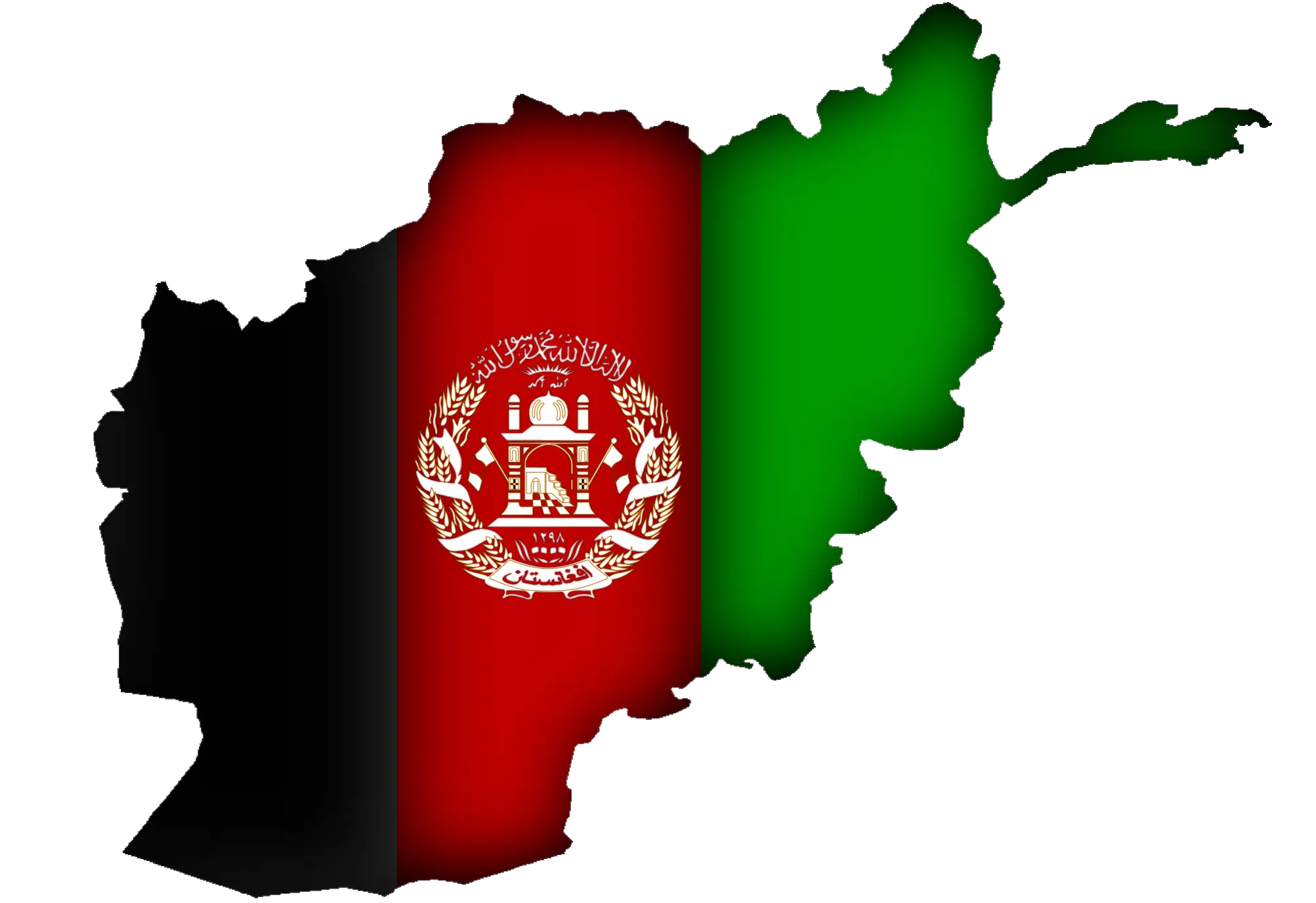
Afghanistan Map with Flag Colors