You Might Like
-

Blue Globe with Continents Illustration -

Green Globe Icon Representing Sustainability -

Complete Blue World Map -

3D Globe Illustration of Earth Model -

Silhouette Globe Design with Continental Map -
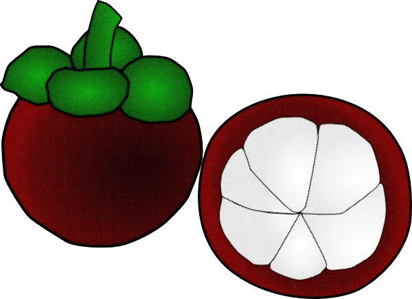
Mangosteen Fruit and Cross-section -
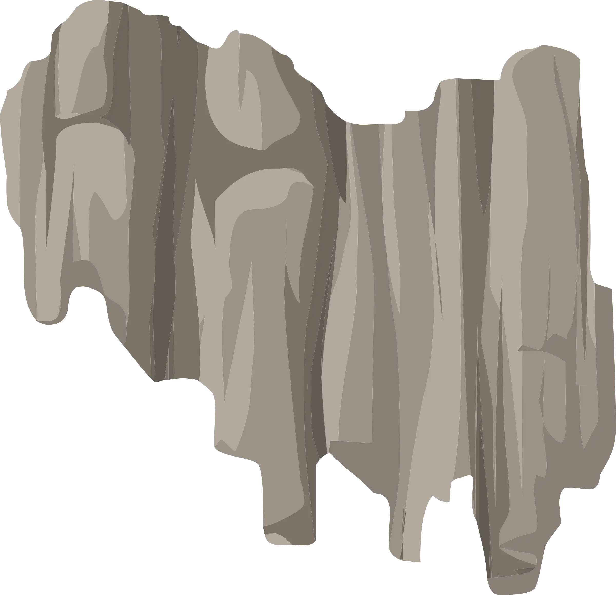
Gray Rock Wall Fragment Illustration -
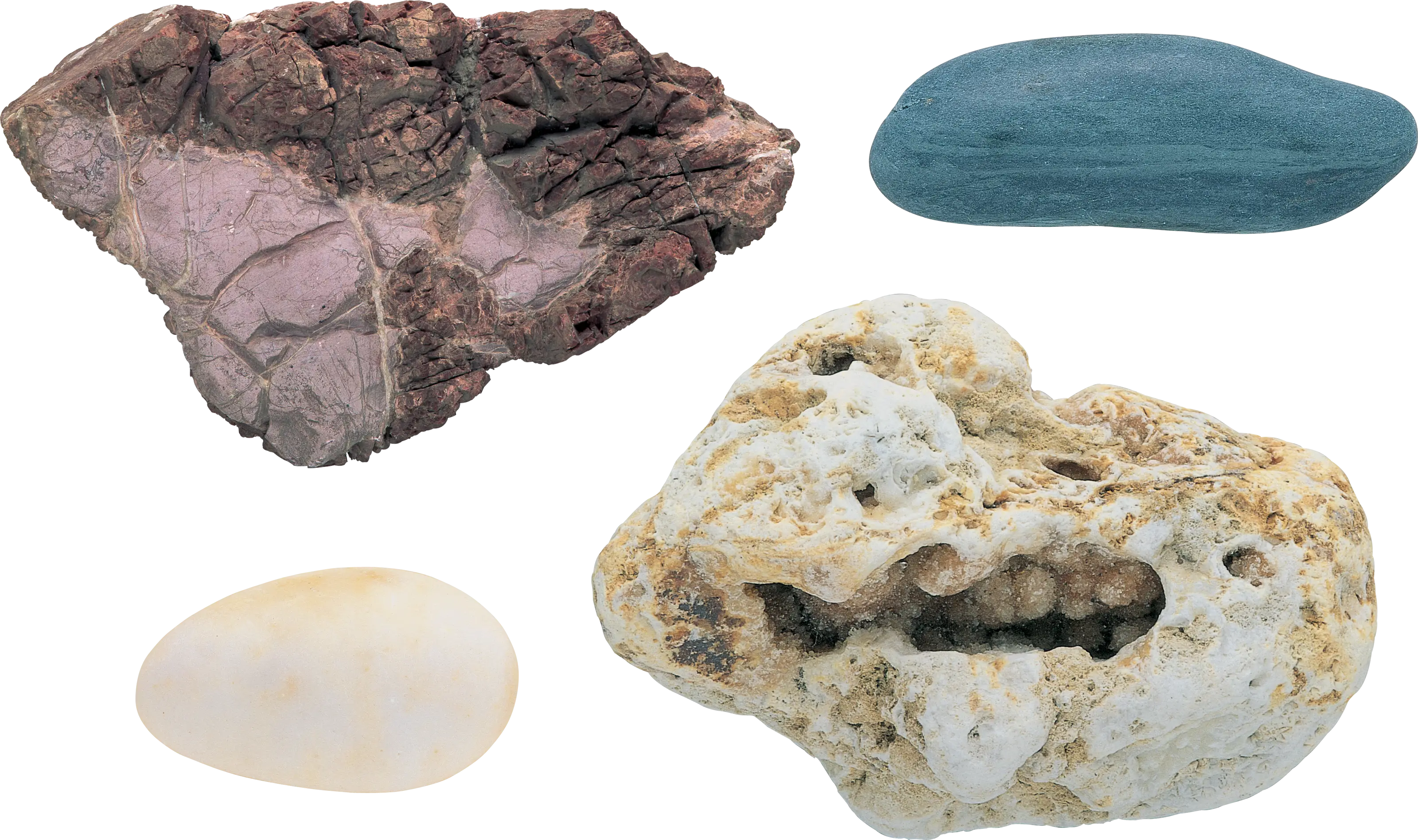
Assorted Rocks and Minerals -

Cracked Earth Texture Illustration -
Pile of Soil -
Blue Recycling Symbol Logo -

Black Globe with Orbital Line Illustration -
Horseshoe Bend Landscape -
Young Seedlings in Soil -

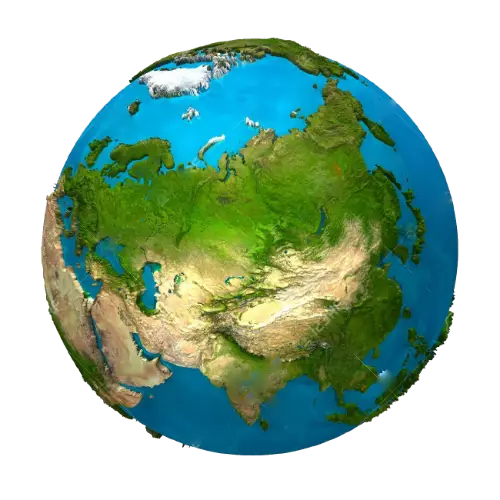
Colorful World Map Globe Representation -
World Globe Icon -
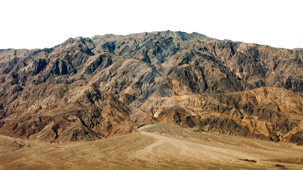
Rocky Mountain Landscape -

Earth with Leaves in a Hand for Sustainability Concept -
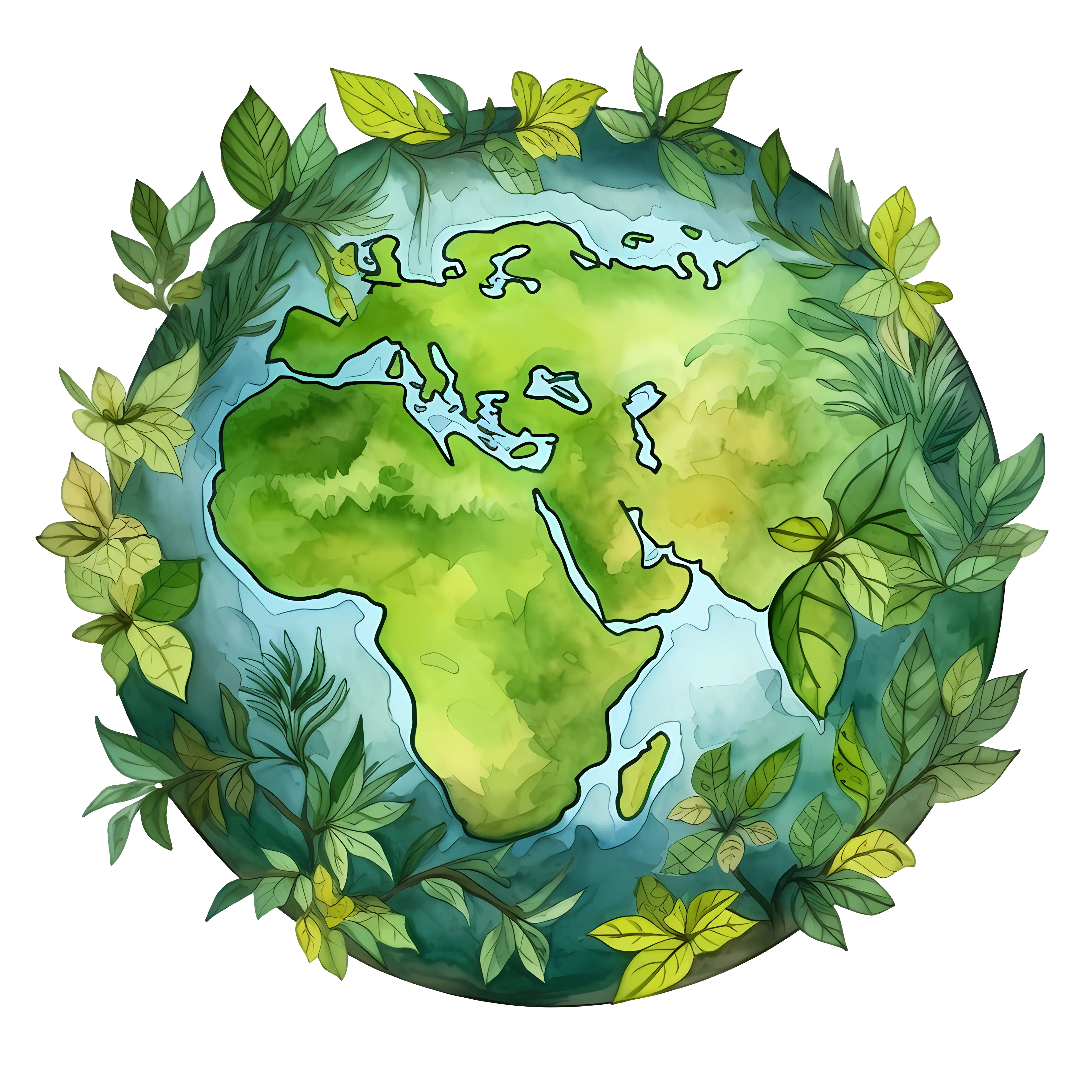
Earth Illustration Surrounded by Leaves for Conservation Concept -
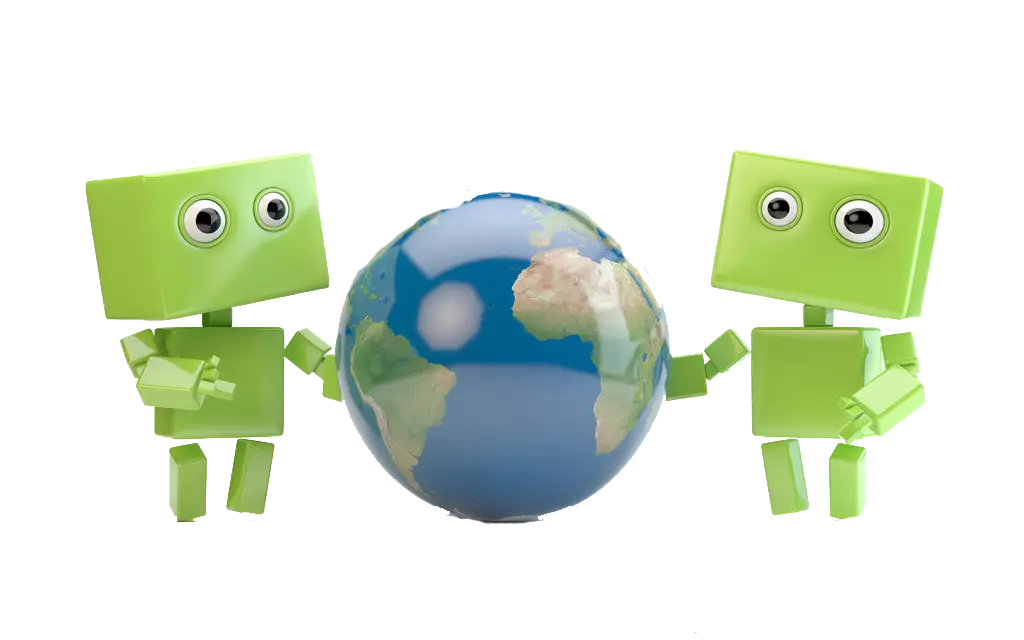
Green Robots with Earth -
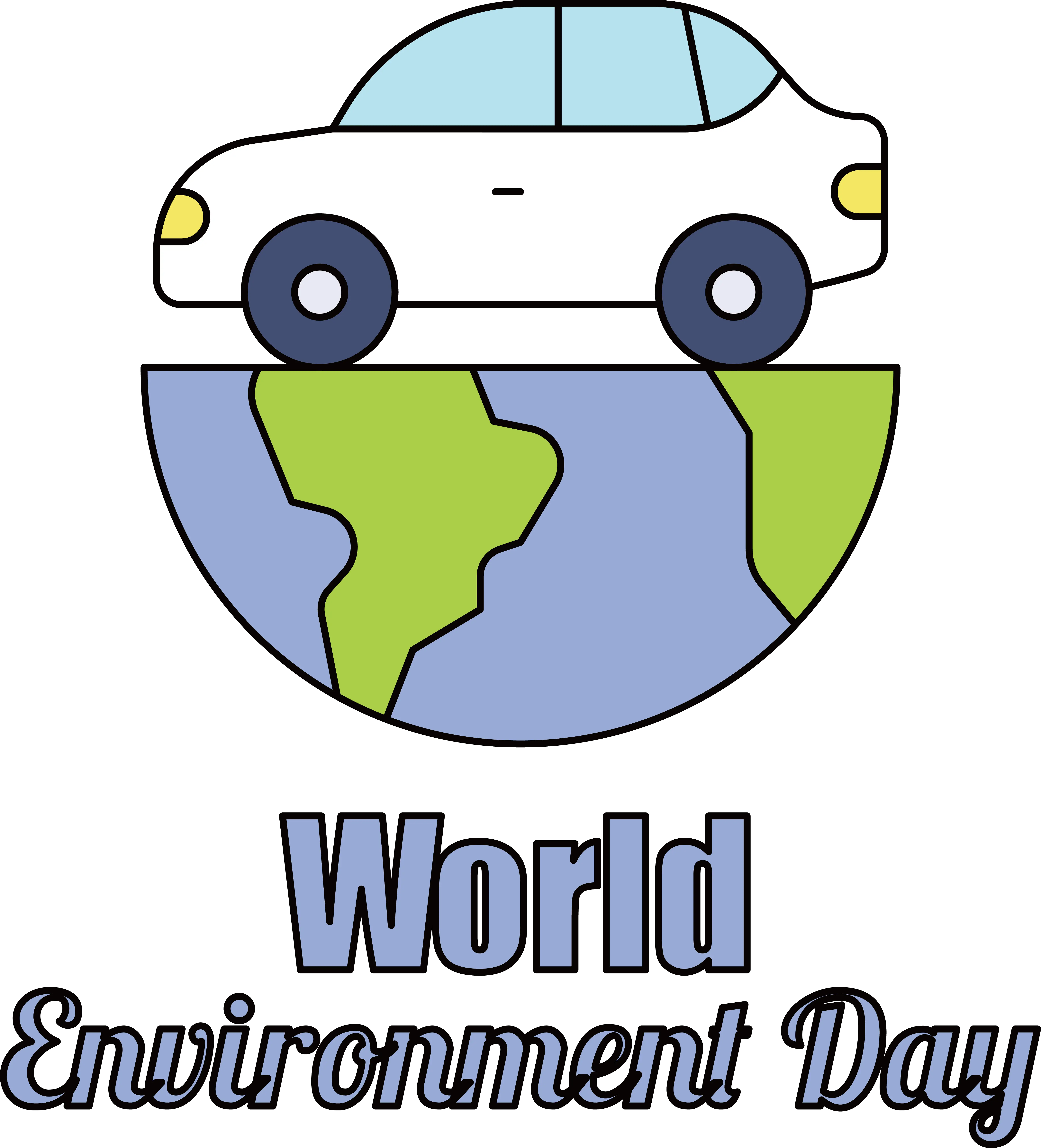
Car on Earth for World Environment Day -
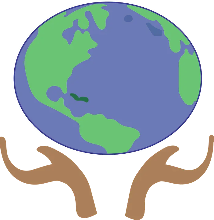
Earth Held in Hands Illustration -

Earth and Satellite in Space -

Black and White Globe -
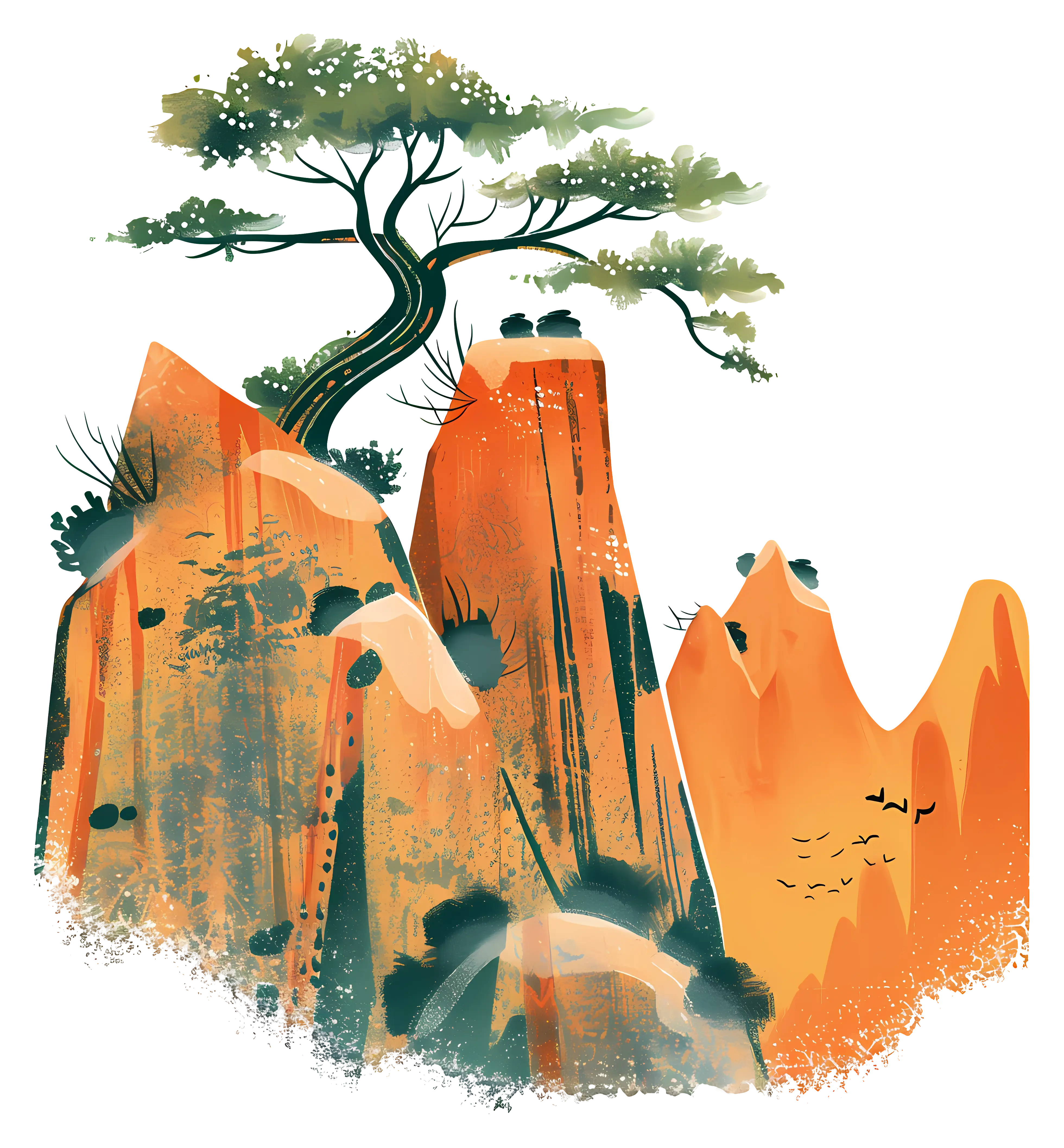
Mountain Landscape with Tree Artwork -

Green Peace Hand Gesture Symbol -
3D Globe Illustration of Earth -
Fiery Planet in Space -
Earth Globe Surrounded by Desserts and Chocolate -
3D Earth Cube Model