You Might Like
-

Colored Regional Map of Africa -

Blue Globe Network Icon -

Blue Globe with Continents Illustration -

Gray Angel Wing Illustration with Feathery Details -

Black Compass Rose for Navigation and Mapping -

Green Globe Icon Representing Sustainability -

Complete Blue World Map -

Bison or Buffalo Illustration in Black and White -

White Digital Tablet with Sleek Design -

CNBC Logo with Peacock Design -

Geometric White Cloud Icon -

3D Globe Illustration of Earth Model -

Map Highlighting Specific Regions -
Bright Full Moon Illustration -

Black and White Steak Illustration -

Transparent World Map Design -

Campground Map for Outdoor Adventures -

Silhouette Globe Design with Continental Map -

Simple Navigation Map -

Cracked Earth Texture Illustration -
Pile of Soil -

Blue Recycling Symbol Logo -

Map of Russia with Red, White, and Blue Flag Colors -

Red Globe Pin Illustration -

Black Globe with Orbital Line Illustration -

Map of Vietnam -
Plain Black Rectangle -

Gray Map Silhouette on Transparent Background -
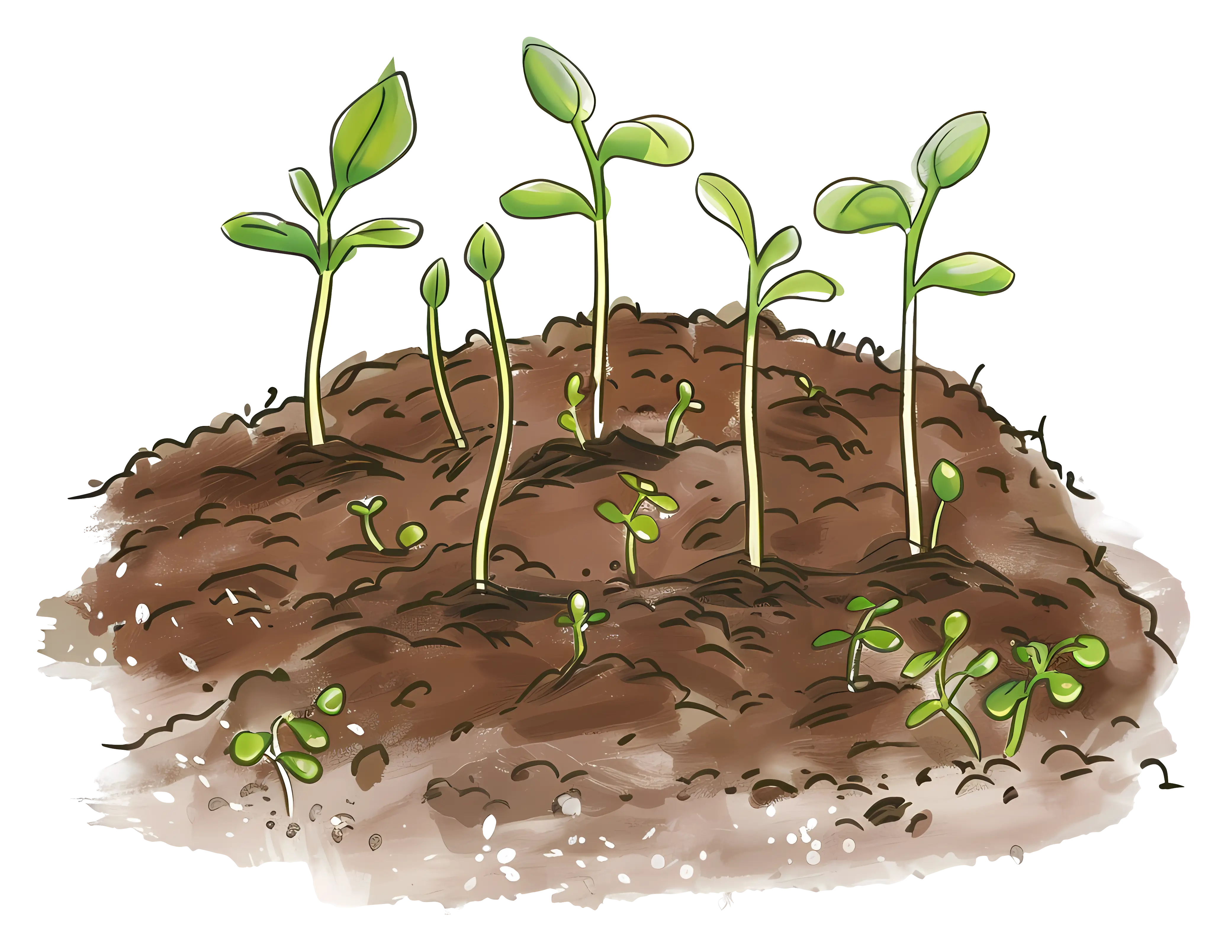
Young Seedlings in Soil -

Colorful World Map Globe Representation