You Might Like
-

Black Question Mark Icon -

Colored Regional Map of Africa -
Modern Black Binoculars -

Map of the Soviet Union with Highlighted Regions -

Astronaut in Colorful Cosmic Swirl -

Female Photographer with Camera on Adventure -

Silhouette of Crawling Baby -

Cartoon Rockets and Spaceships Illustration -

Colorful Holi Festival Celebration -
Waving Indian Flag Illustration -

Black Microscope Illustration -

Colorful Rocket Cartoon Illustration -

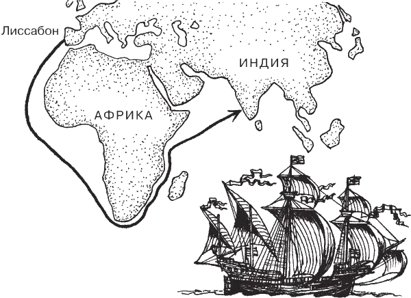
Map Highlighting Specific Regions -

Mouse with Magnifying Glass Cartoon -
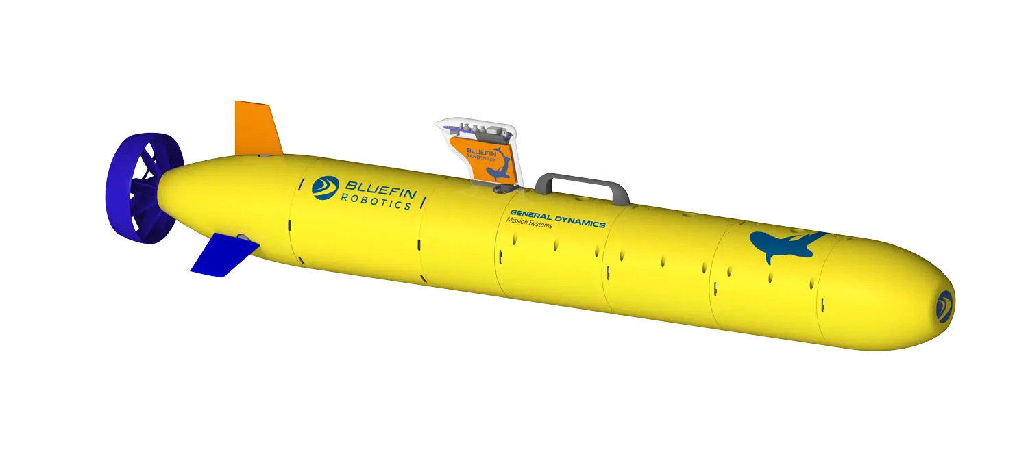
Yellow Submarine for Ocean Exploration -
Diver in Underwater Suit -

International Day of the African Child Illustration -

Video Game Dungeon Map Layout -
The National Flag of Ghana -

Pink and White Striped Hot Air Balloon -

Space Station Silhouette -

Magnifying Glass with Graph Illustration -

Cartoon Diving Penguin -
Map of Haryana State -

Astronaut Floating in Outer Space Illustration -

Explore the World with a Globe -
Cartoon Boy in Military Uniform with Binoculars -
ESA European Space Agency Logo -

Cartoon Rocket Launching -
Sahrawi Arab Democratic Republic Flag Illustration