You Might Like
-

Colored Regional Map of Africa -

Russian Flag -

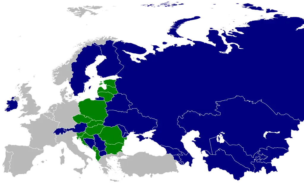
Map of the Soviet Union with Highlighted Regions -

Black Compass Rose for Navigation and Mapping -

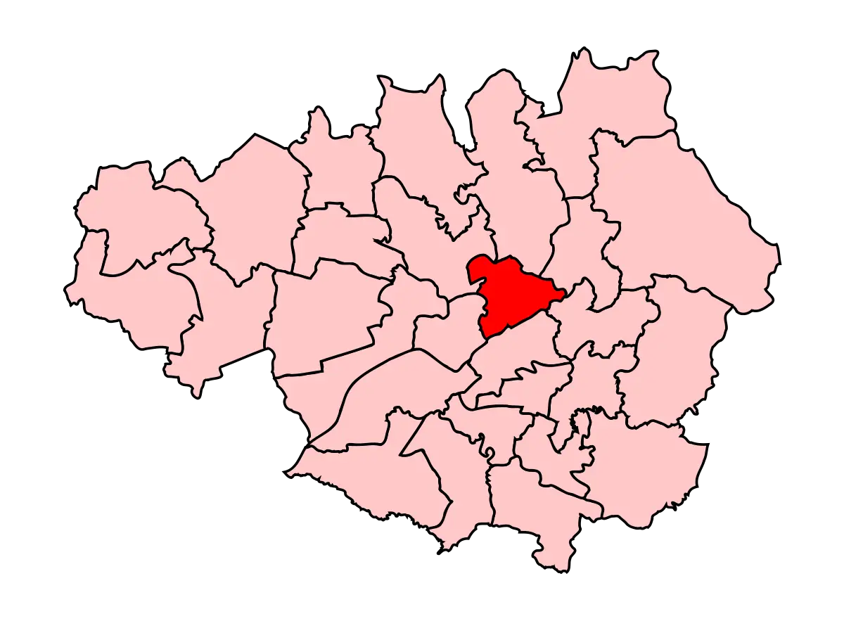
Map Highlighting Specific Regions -

Campground Map for Outdoor Adventures -

Simple Navigation Map -

Map of Russia with Red, White, and Blue Flag Colors -

Red Globe Pin Illustration -

Map of Vietnam -

Gray Map Silhouette on Transparent Background -

Video Game Dungeon Map Layout -

Blue Map of Germany with Regions -

Classic Compass Rose Navigation Symbol -
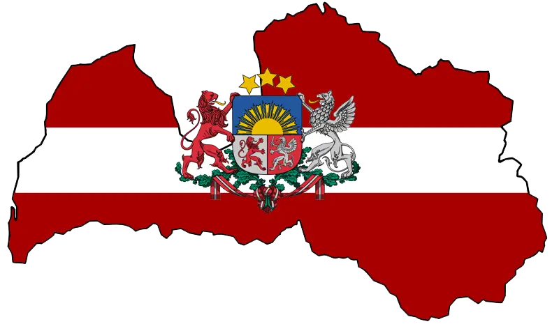
Latvian Map with Country Flag Integration -

Erasmus+ Logo for International Education -

EIPASS Logo for European Informatics Certification -
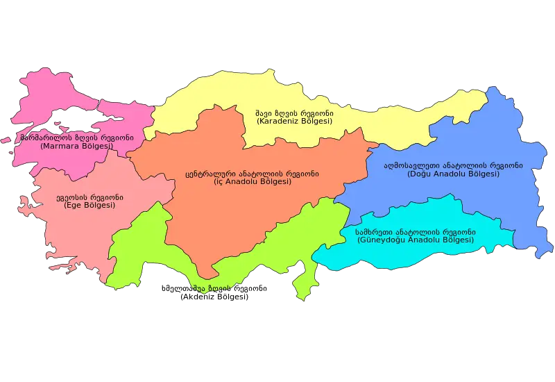
Colorful Regional Map of Turkey -
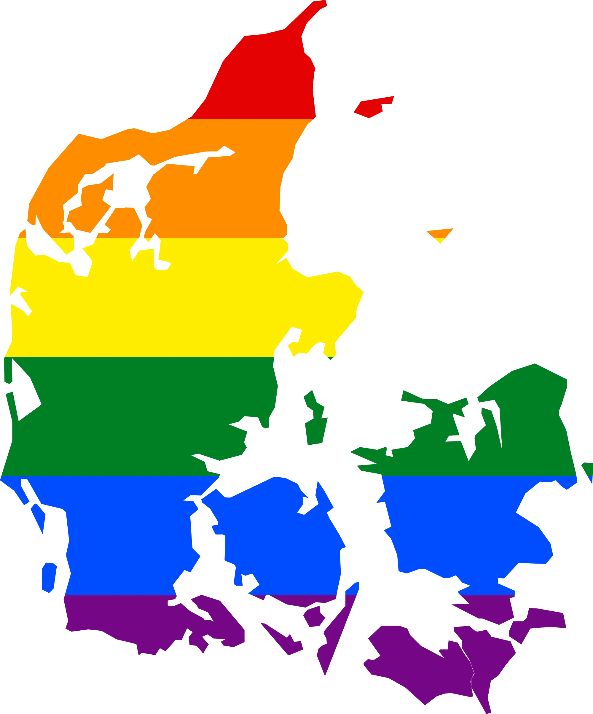
Map of Denmark with Rainbow Colors -
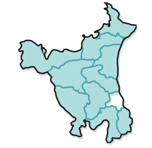
Map of Haryana State -

Blue Texas Map Silhouette -
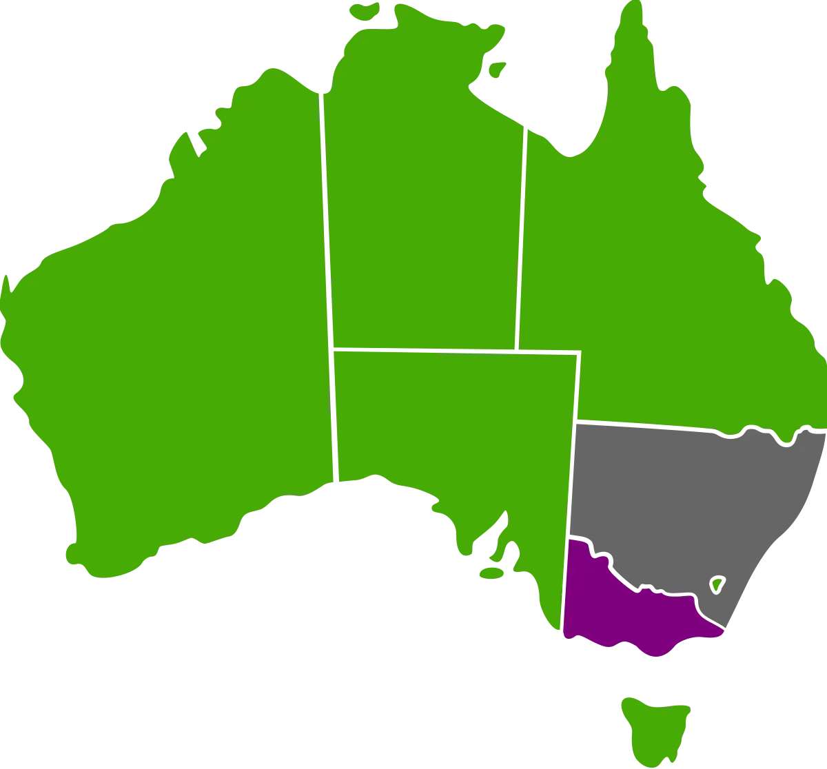
Australian Map with Regional Color Variations -

Patriotic Ribbon Frame Design -
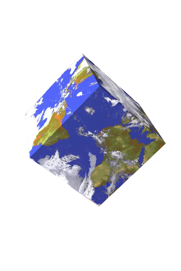
3D Earth Cube Model -

Gazprom Neft Logo -

ESA European Space Agency Logo -

Vintage Ancient Map Illustration -
Map with Highlighted Region in Red -

Cambodia Country Map Outline with Provincial Divisions -

Red Outline of Race Track