You Might Like
-

Colored Regional Map of Africa -
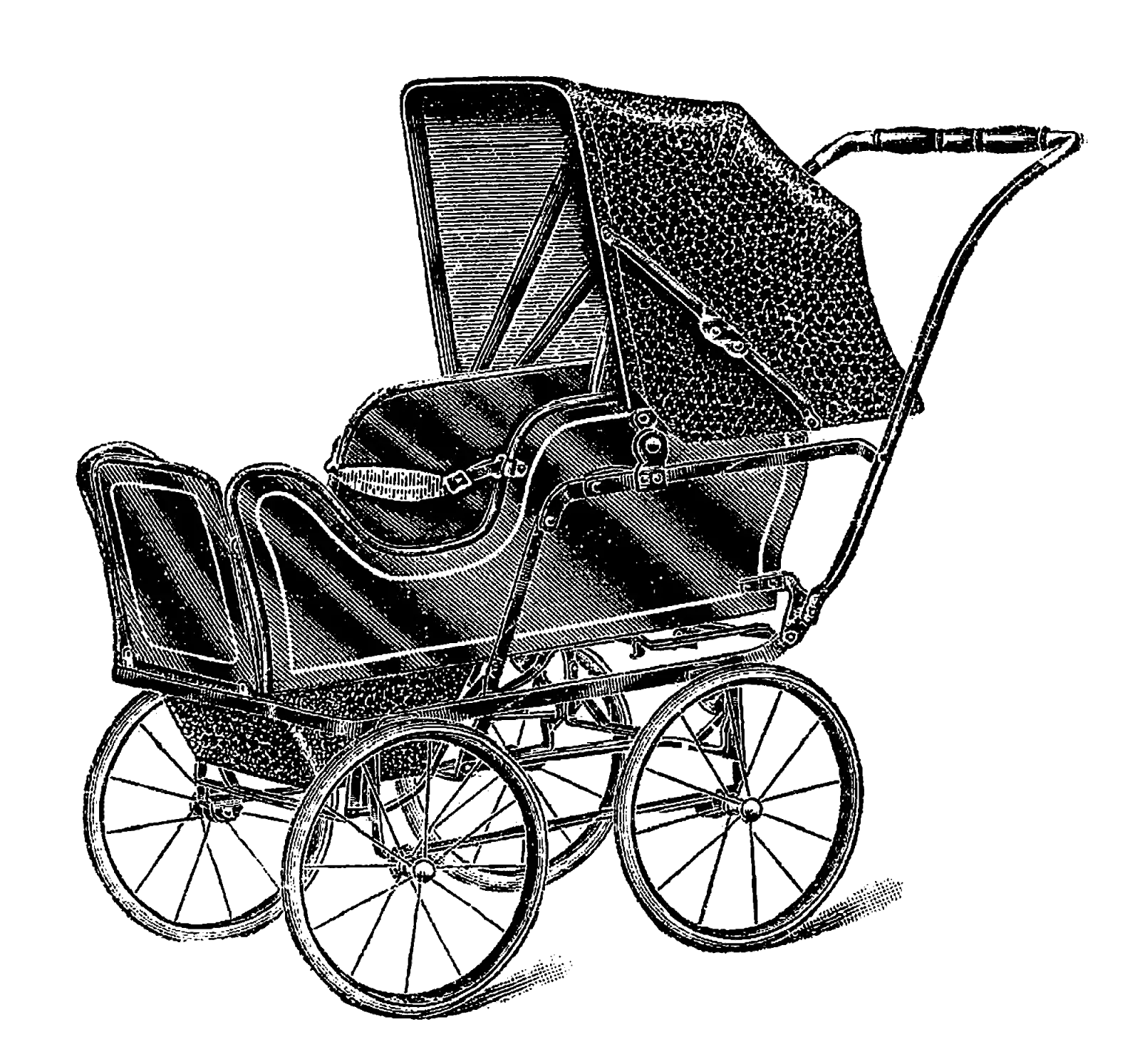
Antique Baby Stroller in Black and White -
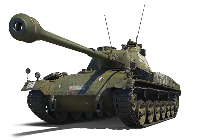
Military Tank Illustration -

Black Compass Rose for Navigation and Mapping -
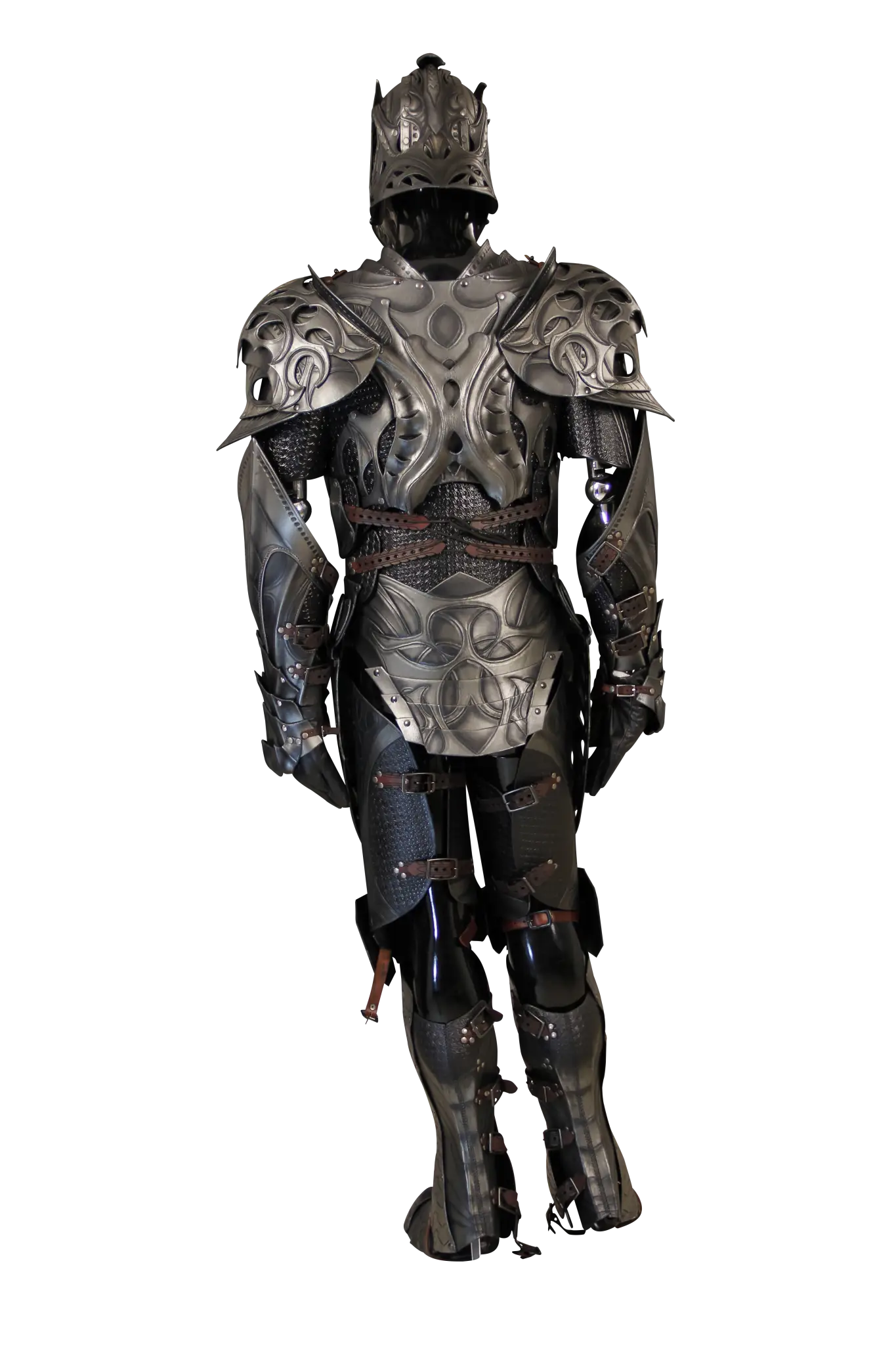
Black Medieval Armor for Historical and Fantasy Themes -
Decorative Black Scroll with Red Ribbons -

Black Pilgrim Hat with Buckle -

Black Region Silhouette Map -

Green Land Map Outline -

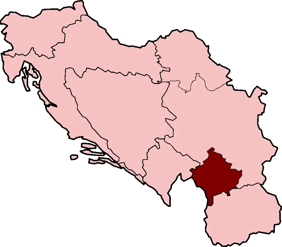
Map Highlighting Specific Regions -
Detailed Sketch of a Cathedral -

Campground Map for Outdoor Adventures -
Decorative Pirate Hat -

Simple Navigation Map -

Map Outline of Slovenia -

Map of Russia with Red, White, and Blue Flag Colors -

Red Globe Pin Illustration -

Map of Vietnam -
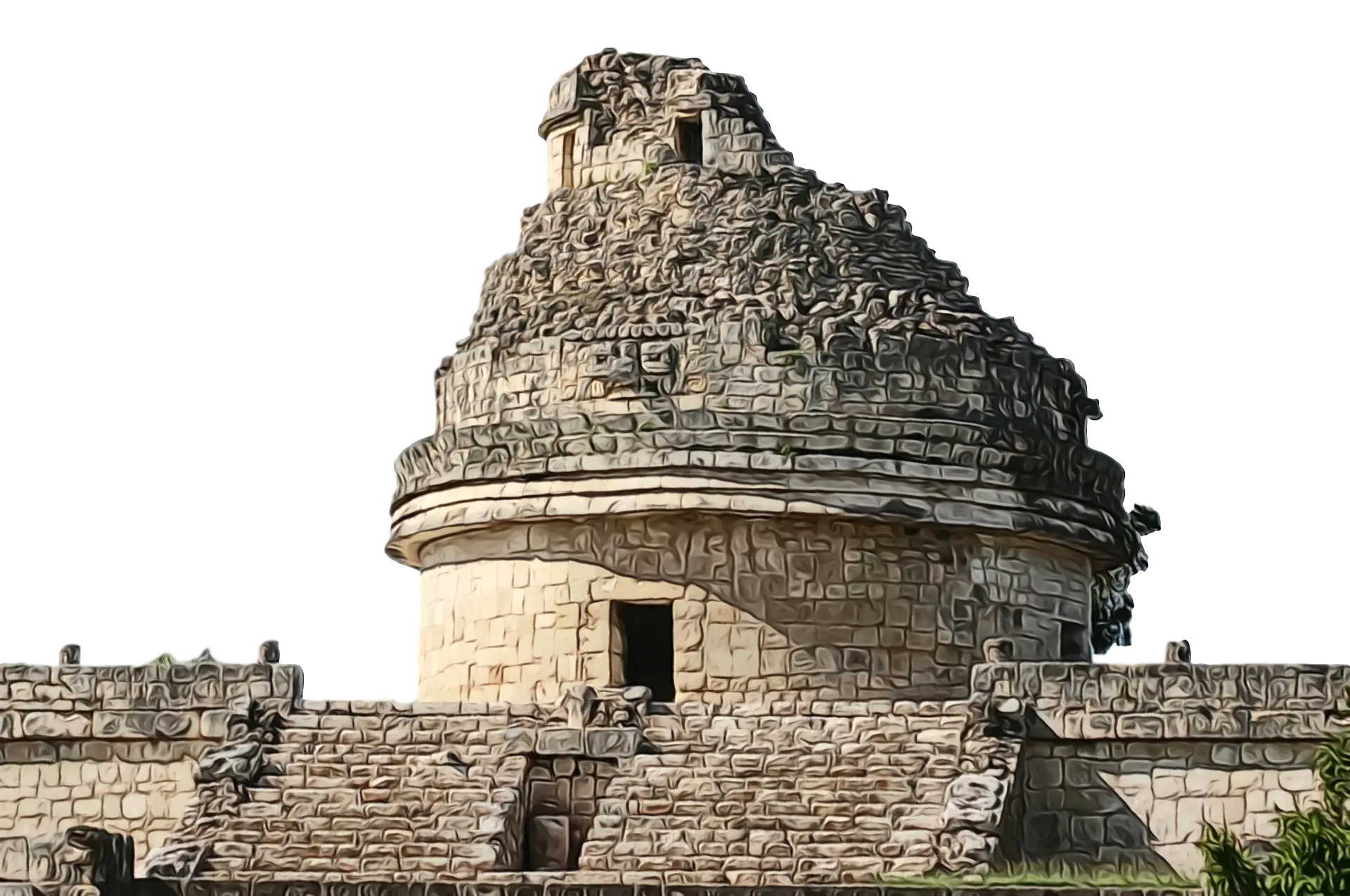
Ancient Stone Observatory -
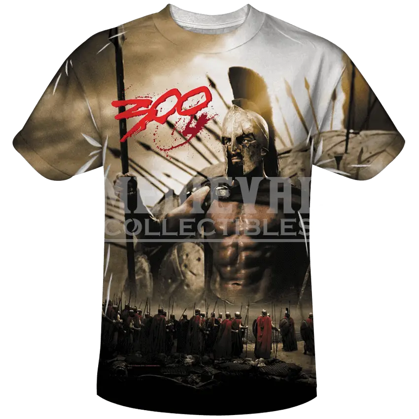
300 Movie Graphic T-Shirt -

Gray Map Silhouette on Transparent Background -

Video Game Dungeon Map Layout -

Blue Map of Germany with Regions -

Medieval Figure Holding Object -
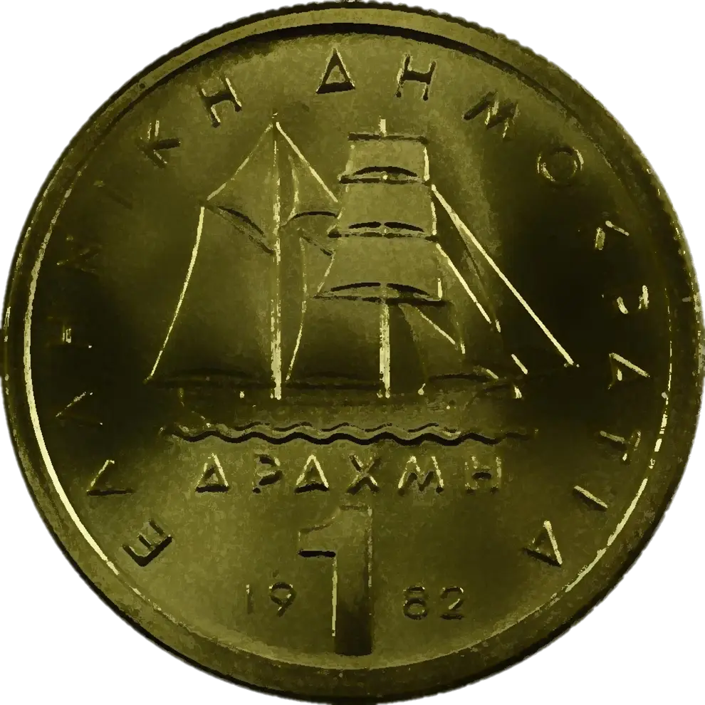
Greek Drachma Coin -
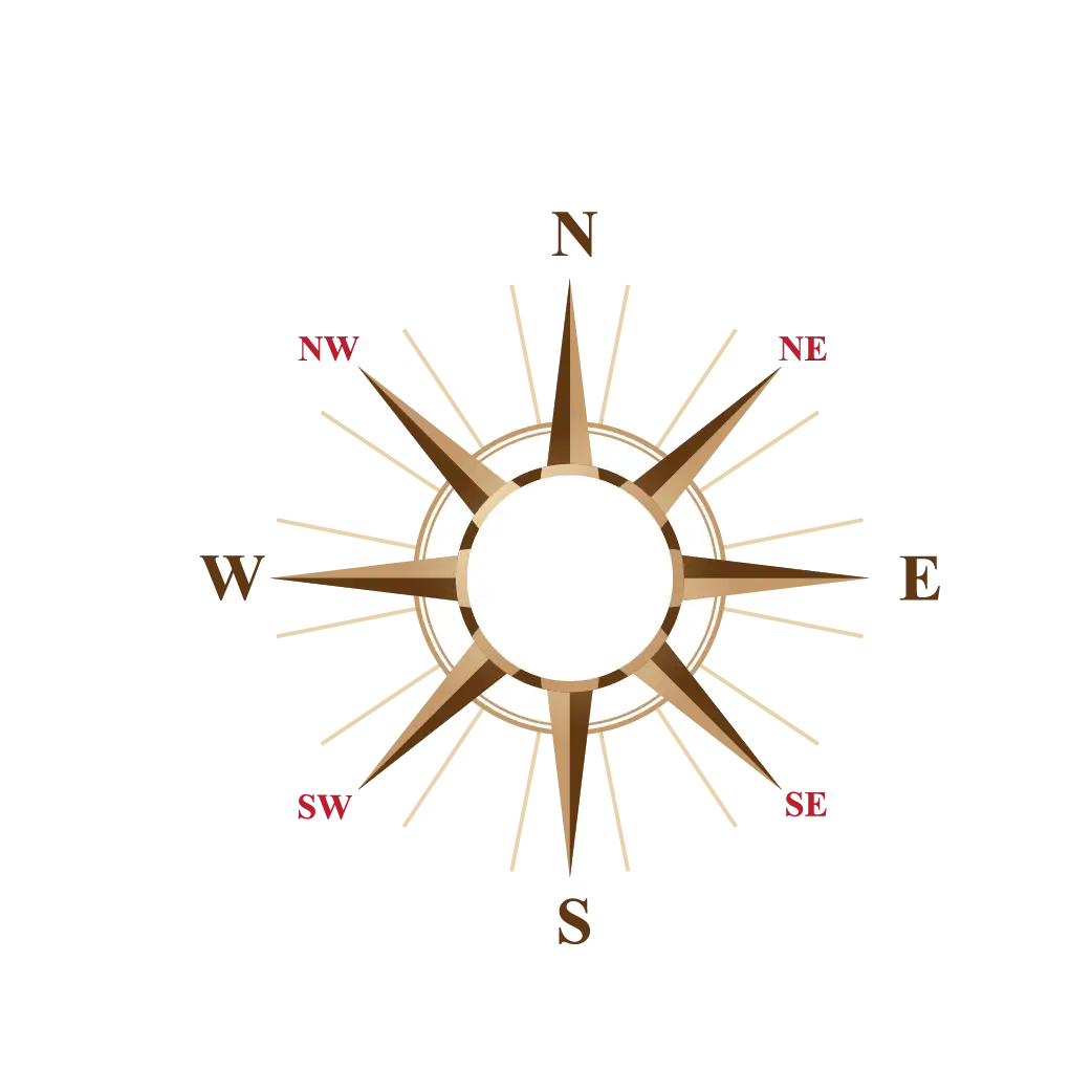
Classic Compass Rose Navigation Symbol -
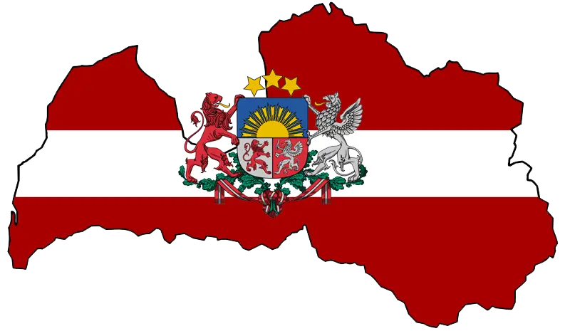
Latvian Map with Country Flag Integration -

Gray Zeppelin Airship -
Rome Total War Game Cover -
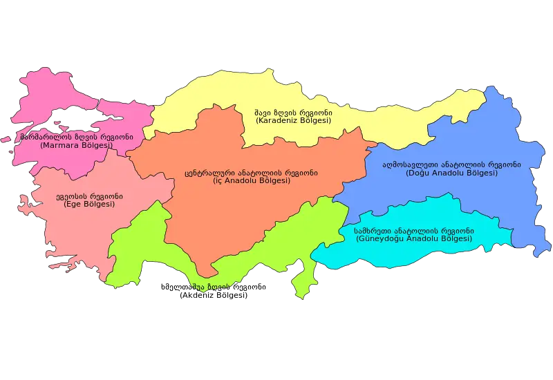
Colorful Regional Map of Turkey