You Might Like
-

Colored Regional Map of Africa -
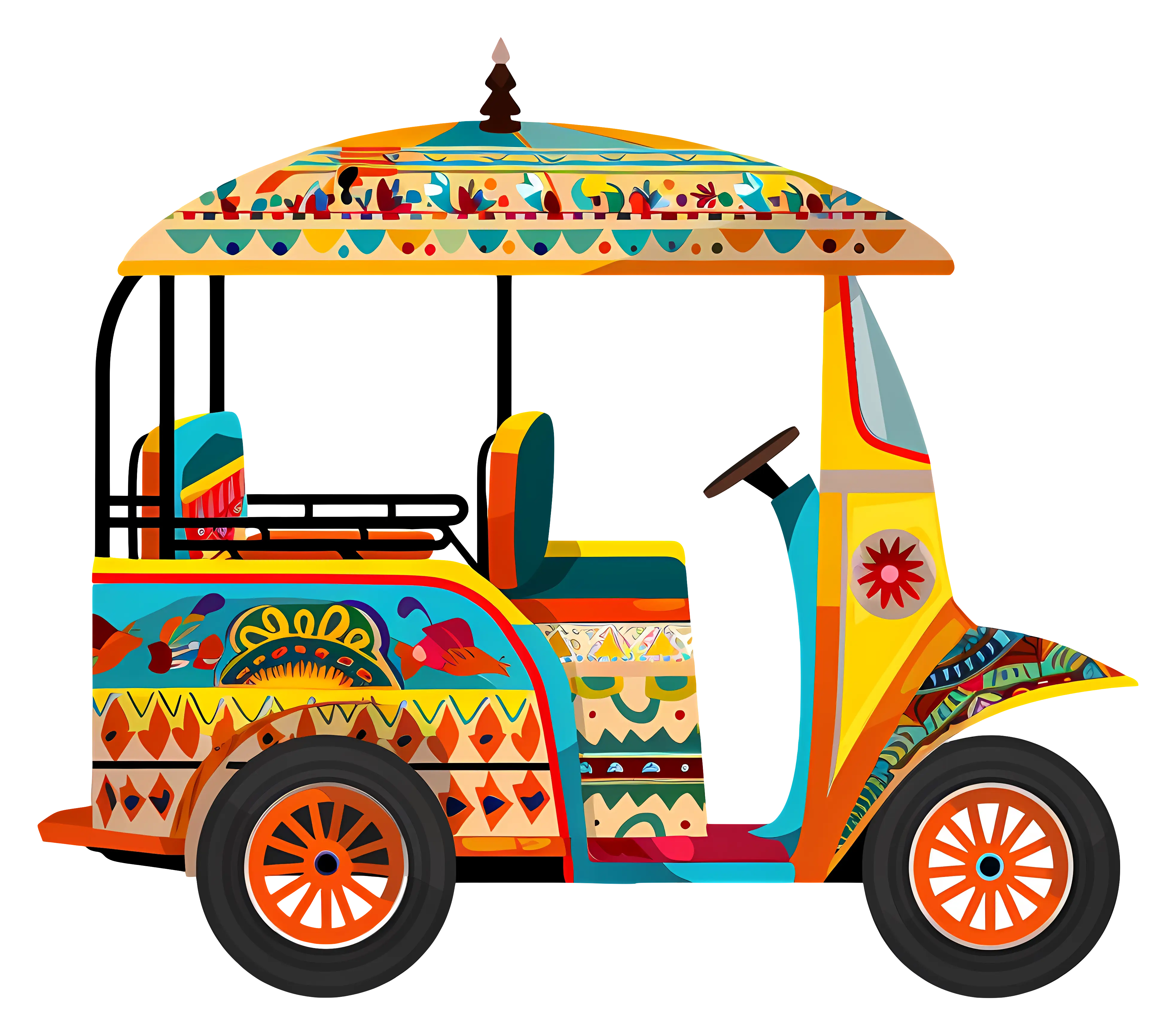
Decorated Colorful Tuk-Tuk Vehicle -
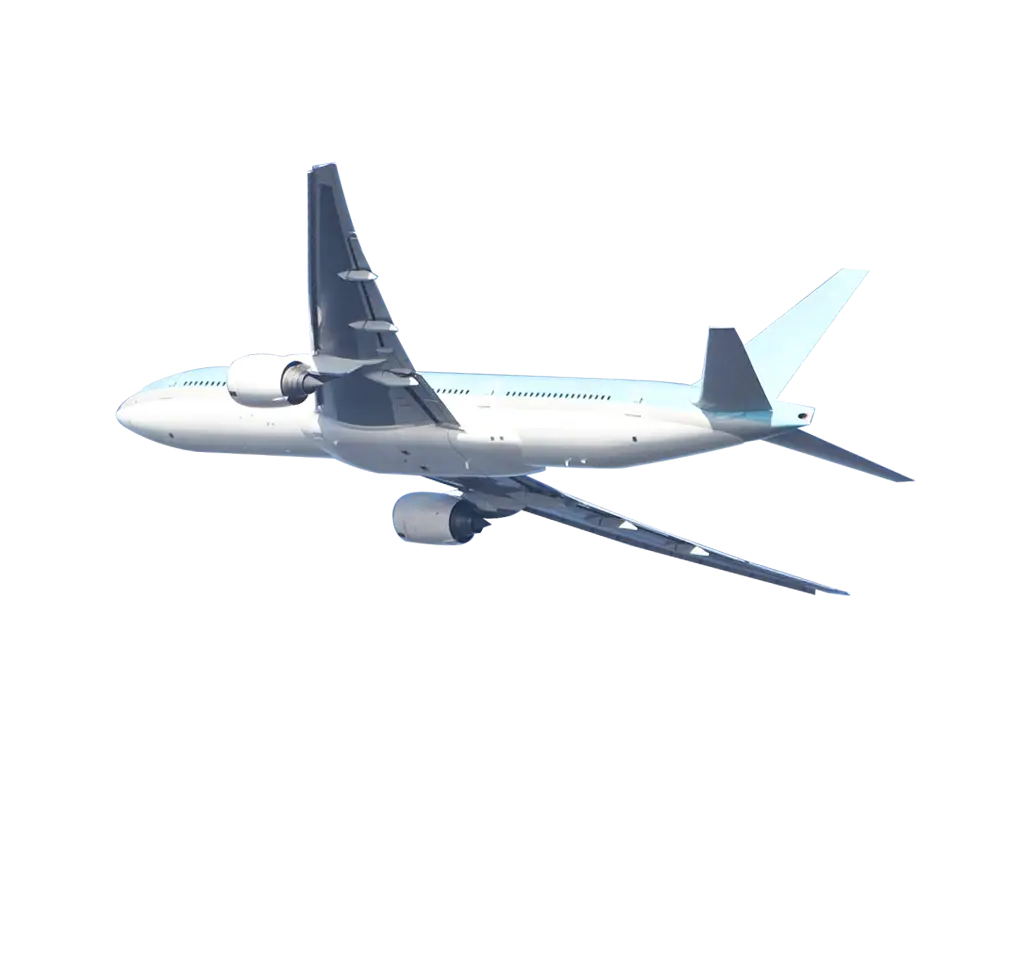
Airplane in Flight over the Sky -

Cartoon Crab Relaxing Under Beach Umbrella -
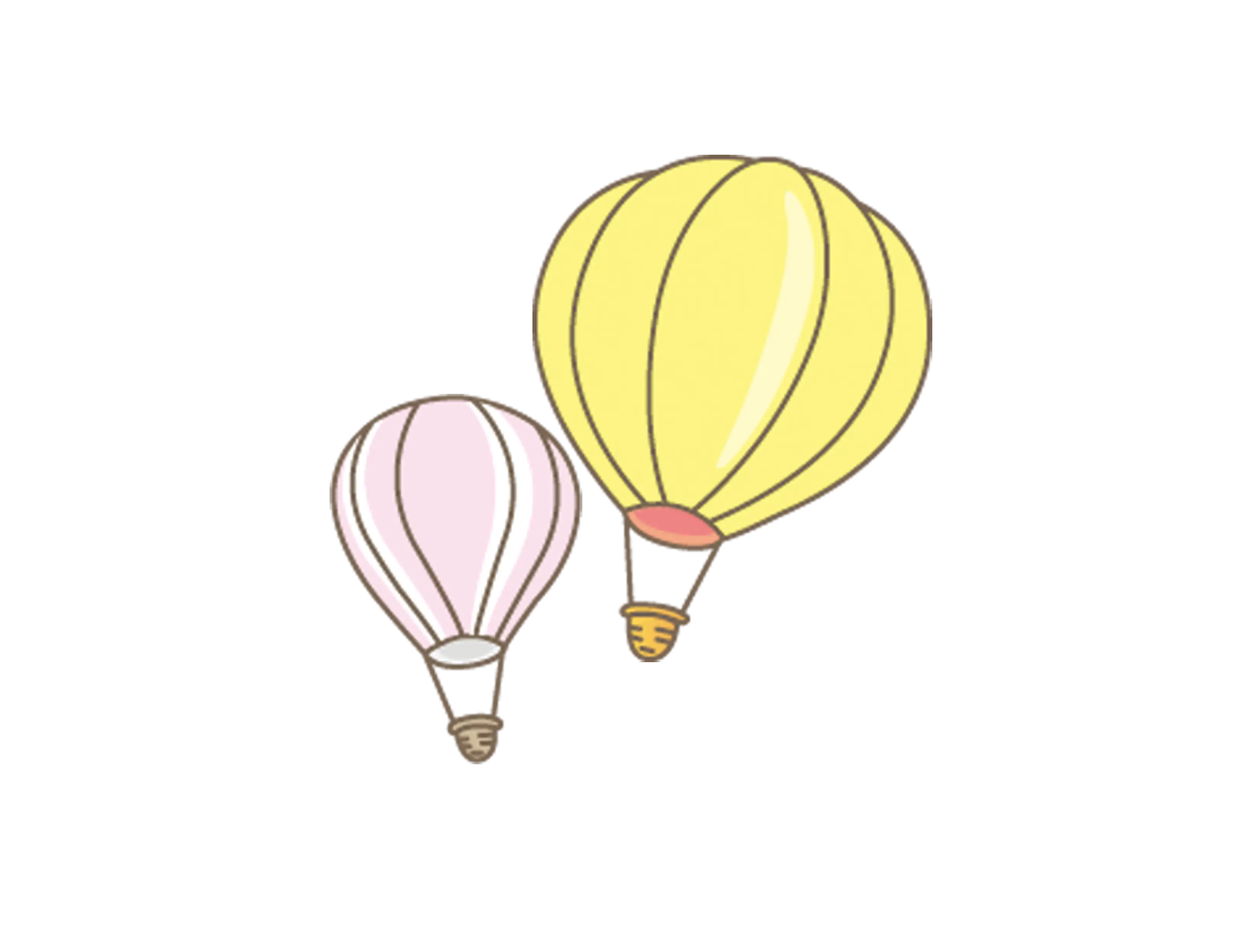
Yellow and Pink Hot Air Balloons -
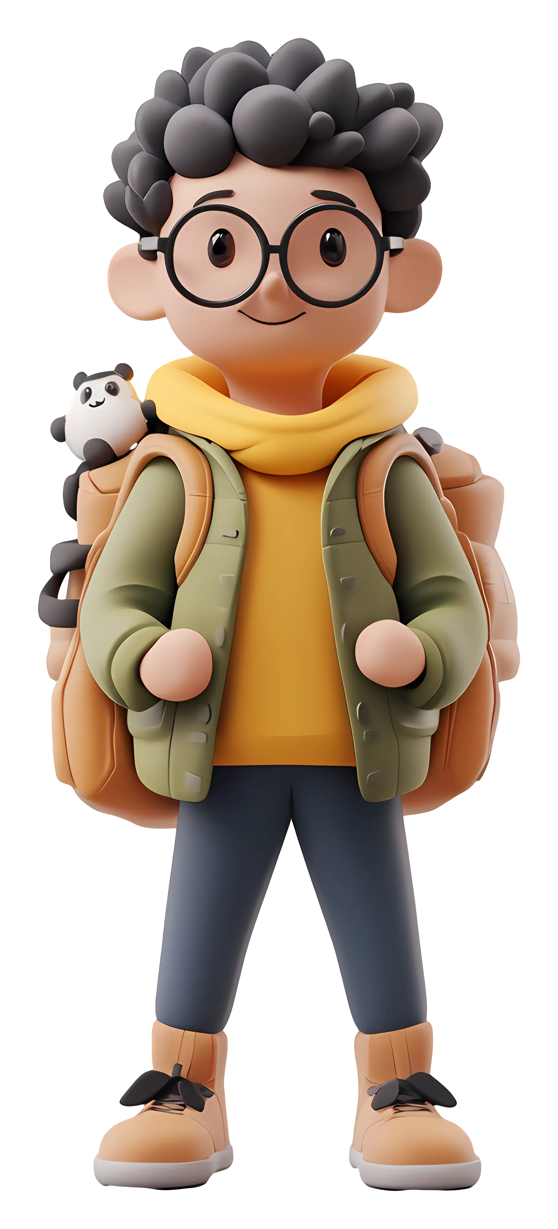
Cartoon Boy with Backpack and Glasses -

Black Compass Rose for Navigation and Mapping -

Female Photographer with Camera on Adventure -
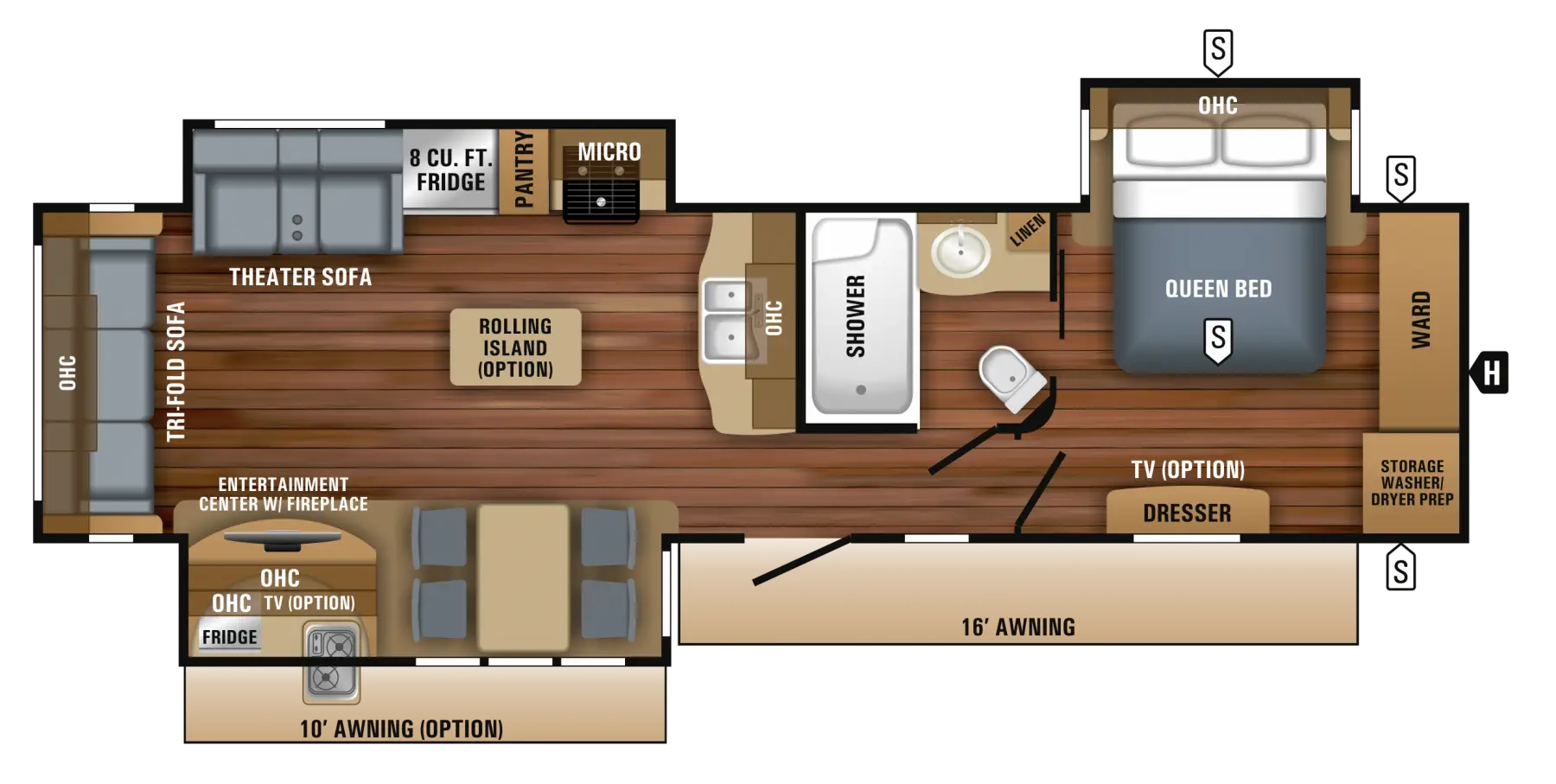
Floor Plan Layout for Home Construction -
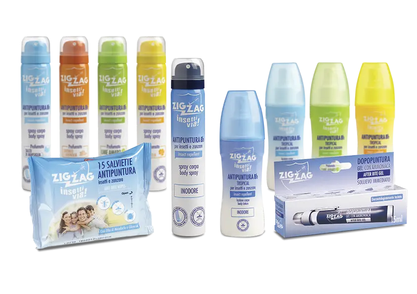
Insect Repellent Product Range -

Red and White Striped Hot Air Balloon -
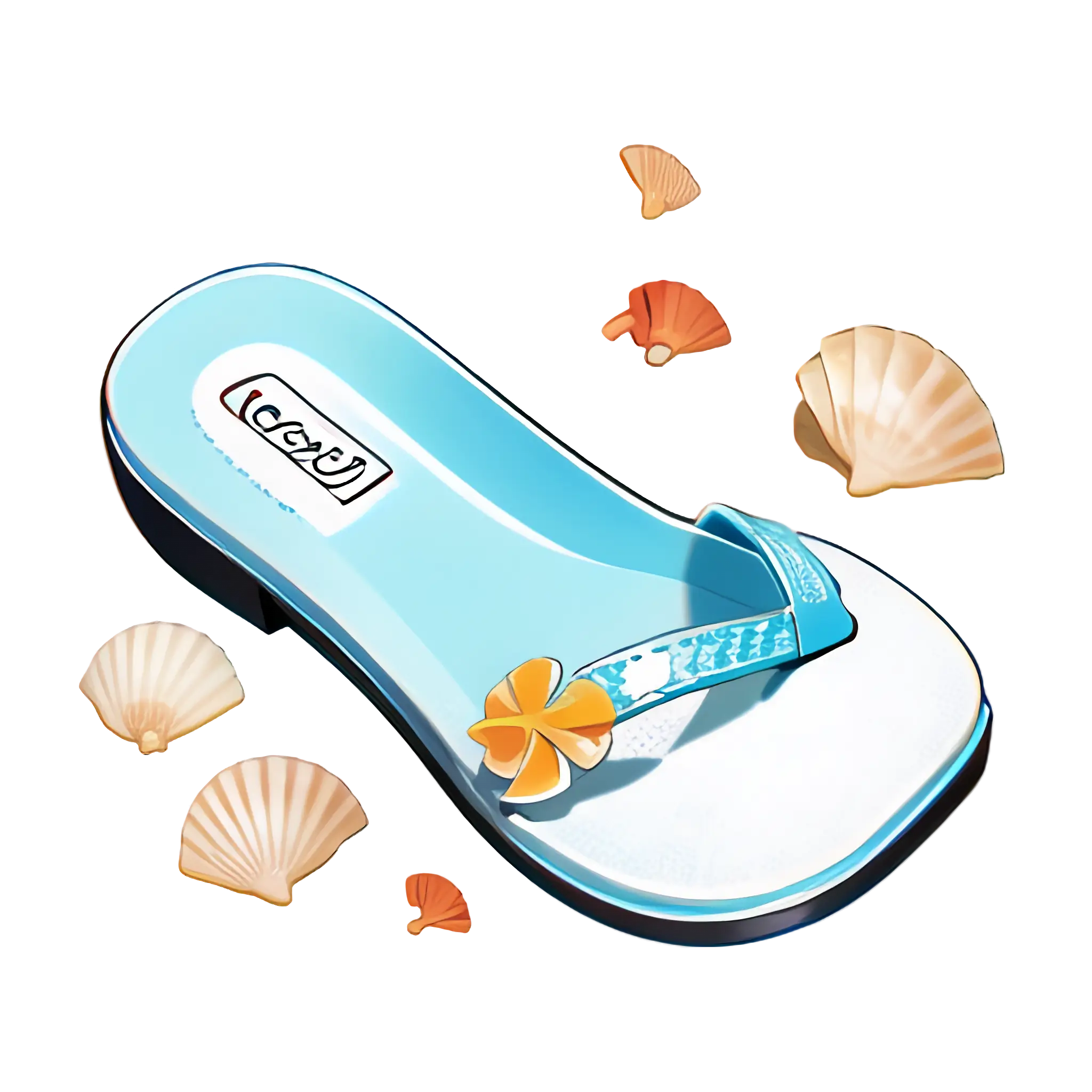
Flip-Flop with Seashells -

Yellow Beach Umbrella with Two Chairs for Summery Setup -
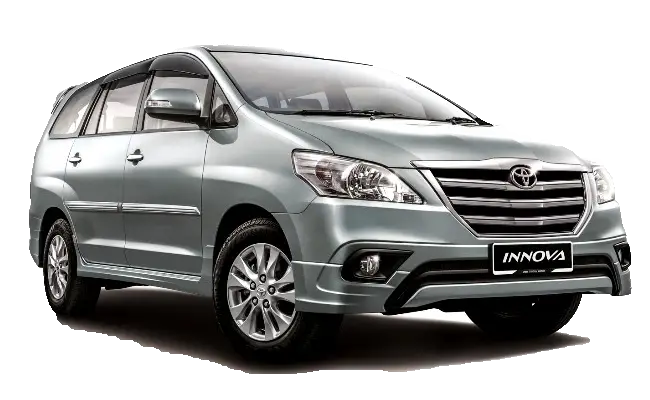
Silver Car for Family Transport -
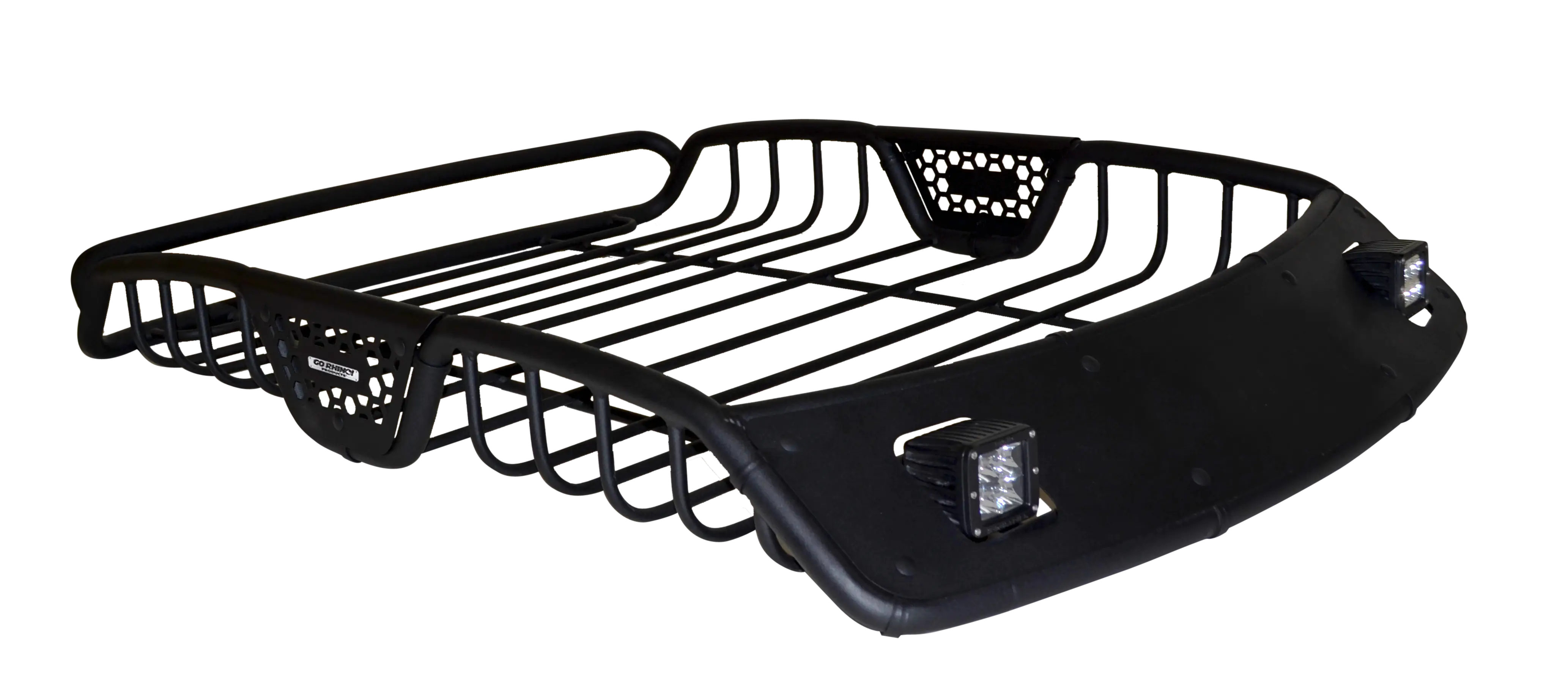
Black Car Roof Rack Design -
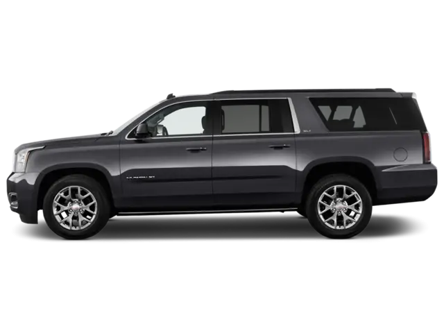
Black SUV Car for Off-Road and Urban Travel -
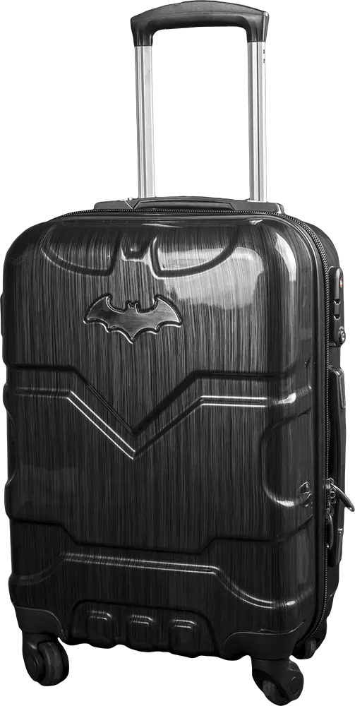
Black Suitcase with Batman Logo -

Cartoon Beach Scene with Camper Van -

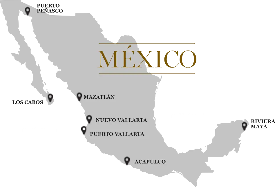
Map Highlighting Specific Regions -

Teal Airplane Icon -
It's More Fun in the Philippines Logo -
Black Electric Bike with Modern Design -

Map of Turkey with Major Cities and Regions -

Black Beach Umbrella Icon -
Cool Camper Van for Outdoor Adventures -
Campground Scene with Tent and Parked Car Illustration -

Campground Map for Outdoor Adventures -
Aeroflot Airplane in Flight -

Orange Beach Umbrella Illustration -

Simple Navigation Map