You Might Like
-

Colored Regional Map of Africa -

Black Compass Rose for Navigation and Mapping -
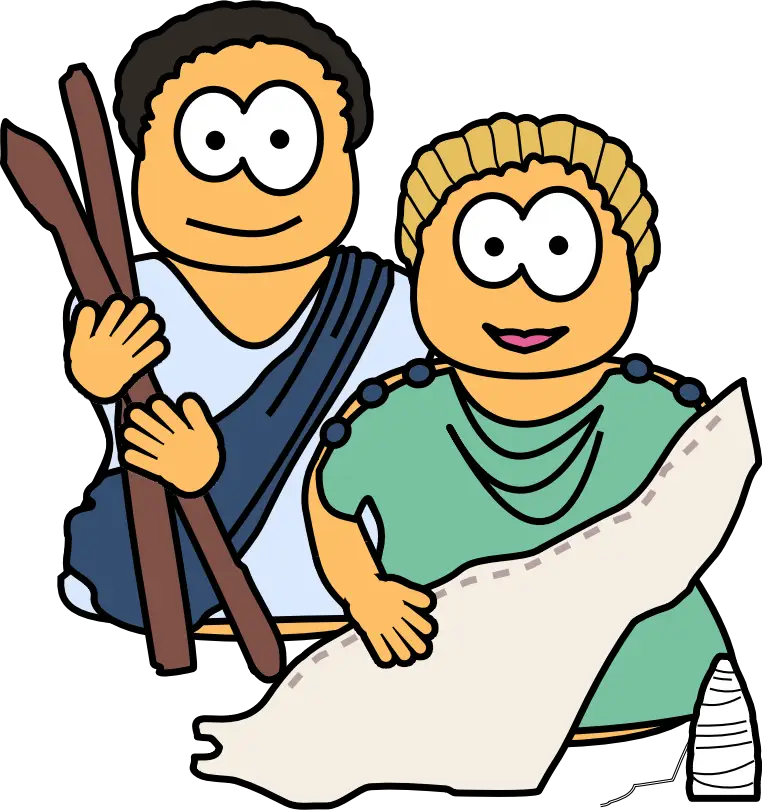
Cartoon Romans with Scroll -

Modern Beige Chair with Wooden Legs -

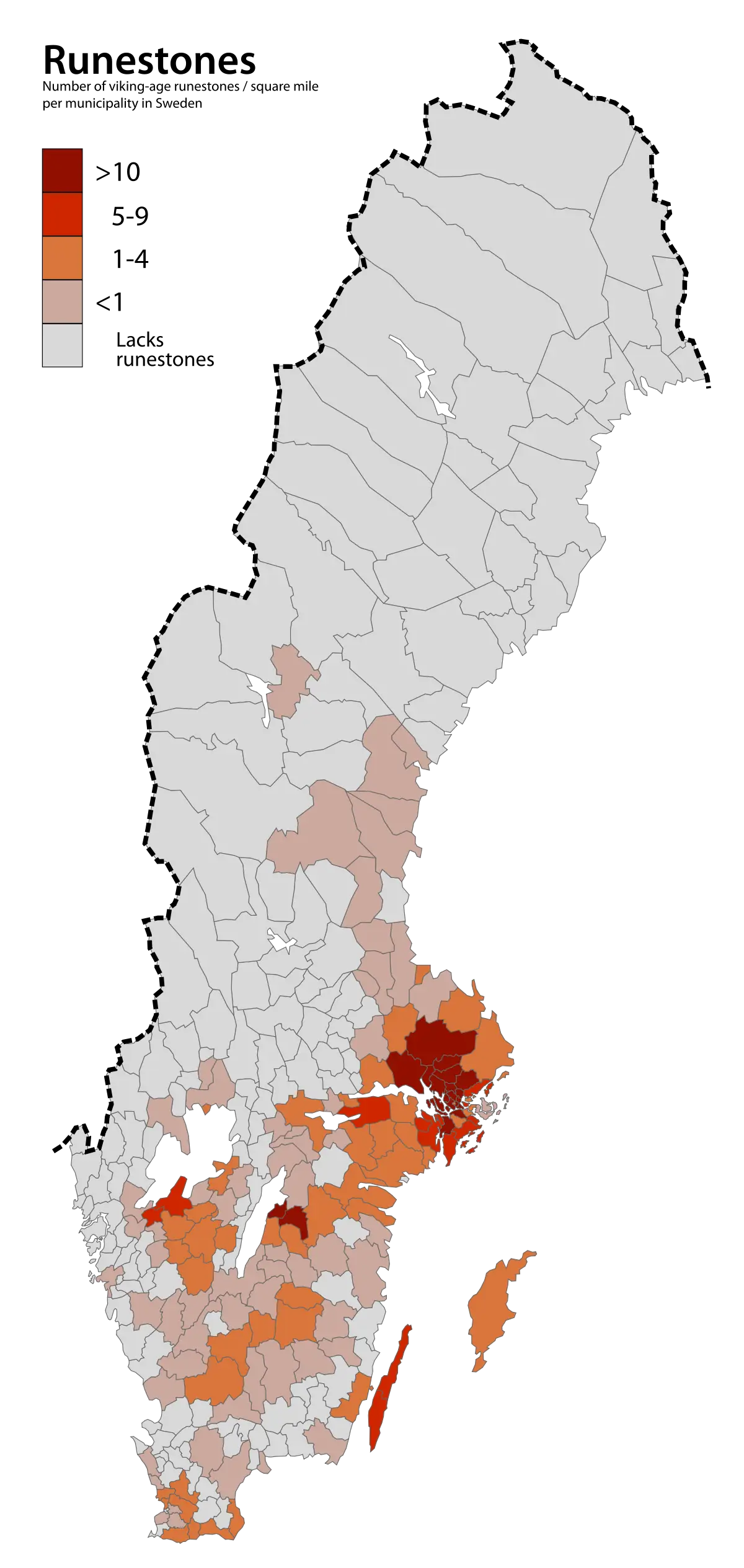
Map Highlighting Specific Regions -

Lara Croft from Tomb Raider -

Campground Map for Outdoor Adventures -

Simple Navigation Map -

Portuguese Shield with Crown -

Map of Russia with Red, White, and Blue Flag Colors -

Red Globe Pin Illustration -

Vintage Parchment Scroll Illustration -

Map of Vietnam -
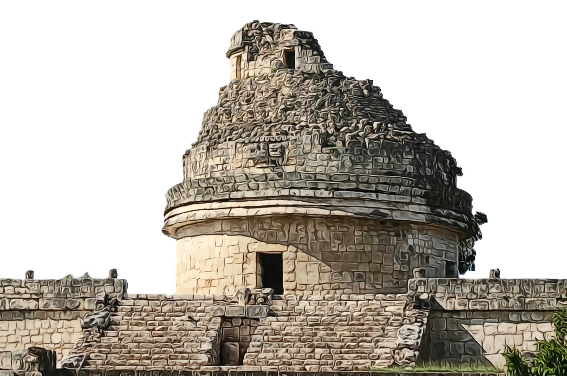
Ancient Stone Observatory -

Gray Map Silhouette on Transparent Background -
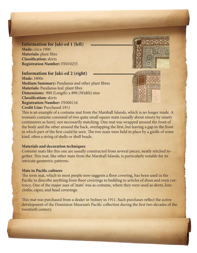
Antique Scroll with Information -

Video Game Dungeon Map Layout -

Blue Map of Germany with Regions -
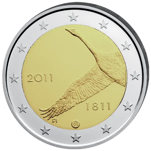
Euro Coin with Bird Design -

Vintage Postcard with Stamp -

Classic Compass Rose Navigation Symbol -

Fossilized Anthropoid Skull Representation -
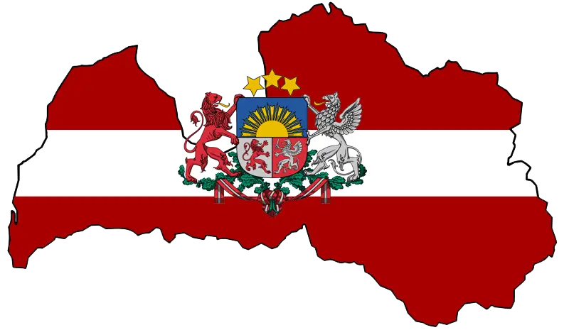
Latvian Map with Country Flag Integration -
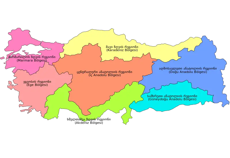
Colorful Regional Map of Turkey -

Map of Denmark with Rainbow Colors -
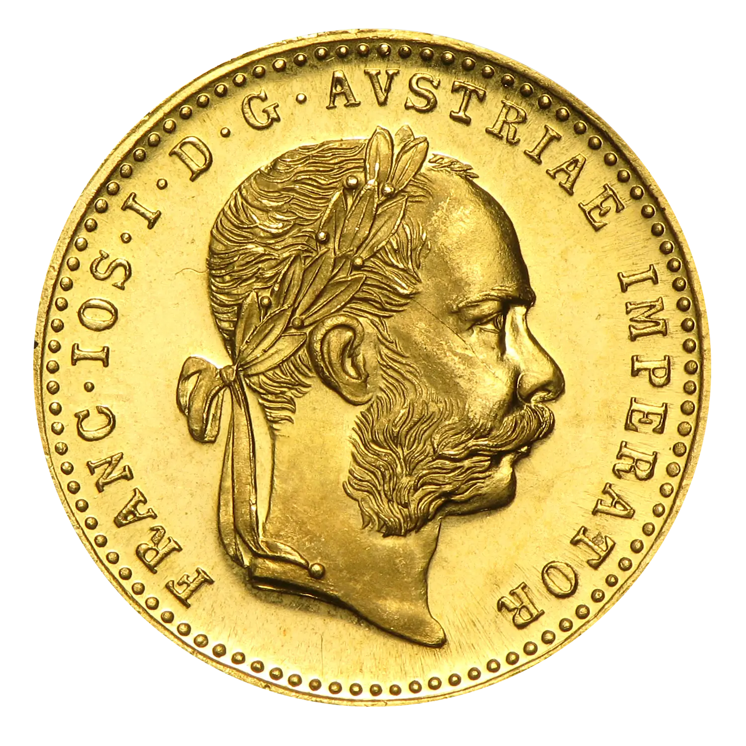
Austrian Gold Coin -
Swedish Coat of Arms with Royal Crown -
Ancient Stone Amphitheater -
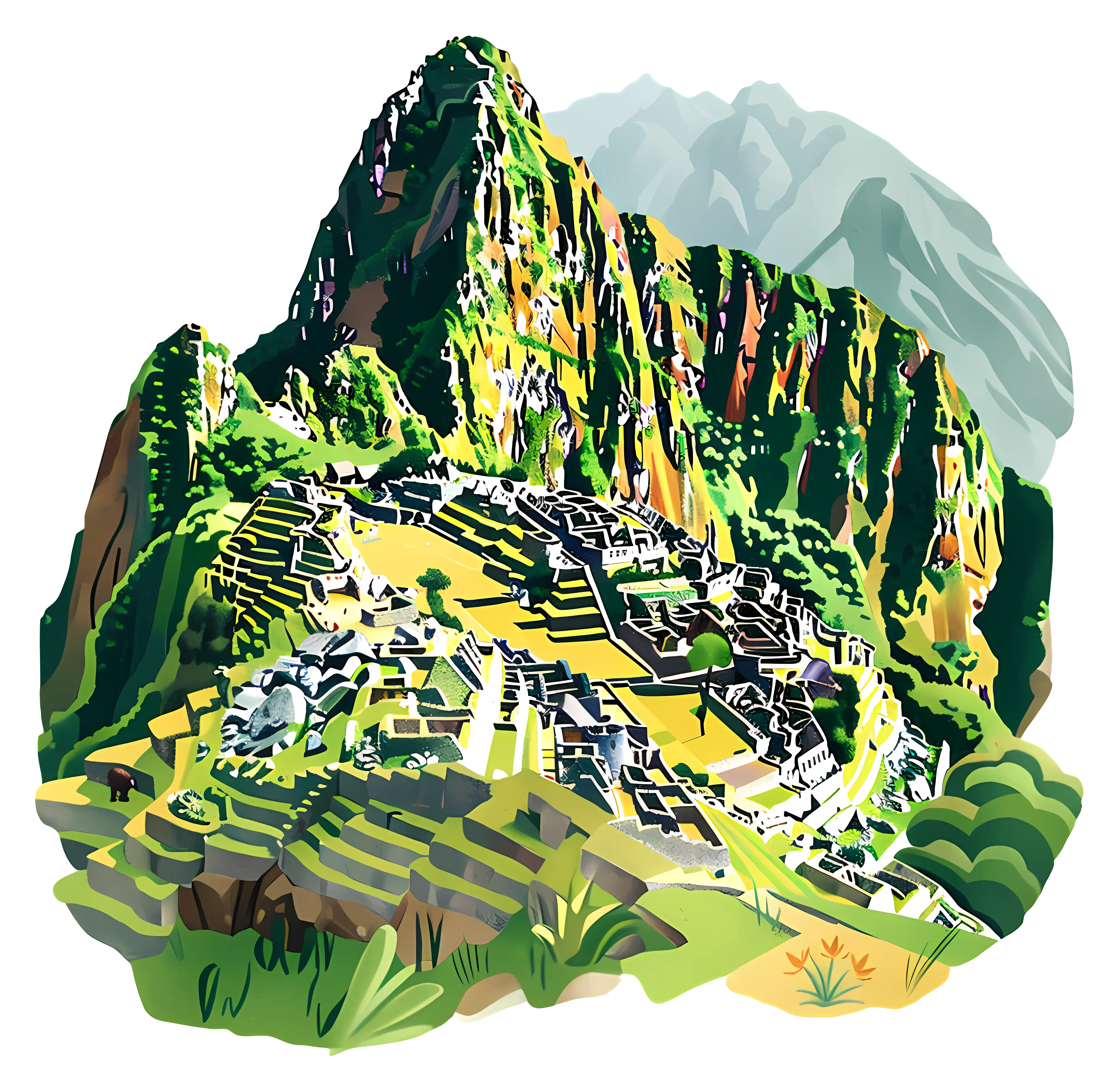
Colorful Illustration of Machu Picchu -
Map of Haryana State