You Might Like
-
Blue Eco-Friendly Electric Car -
White and Black Athletic Sneakers -
Modern Black Sedan Car for Urban Driving -
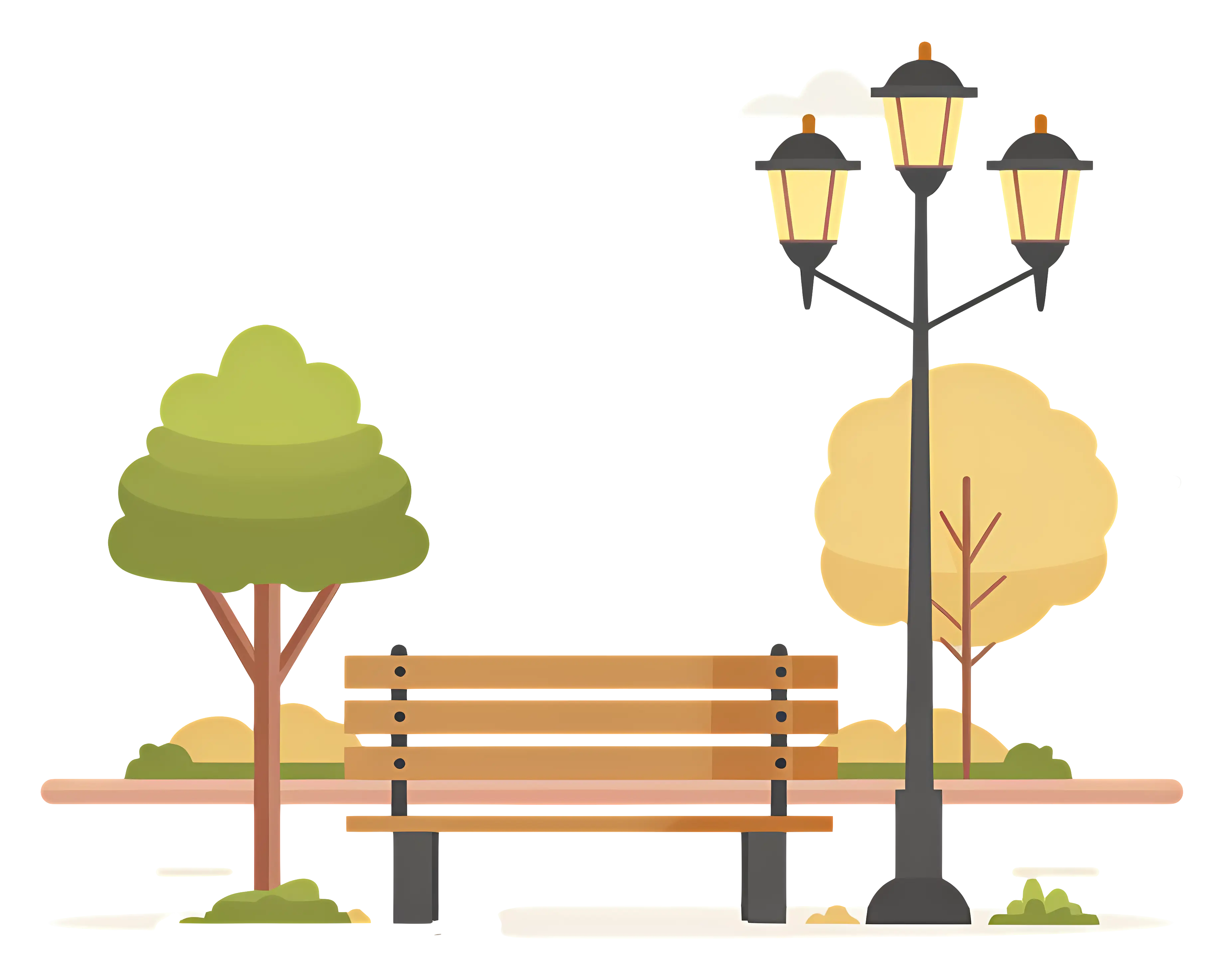
Park Bench with Lamp Post and Trees in the Background -

Blue Globe Network Icon -
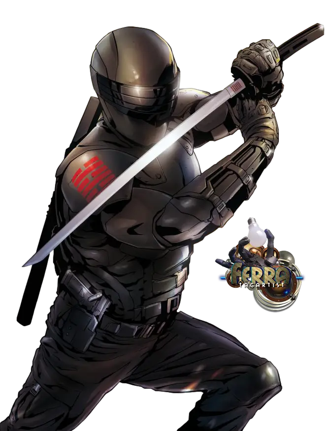
Ninja Warrior with Sword -
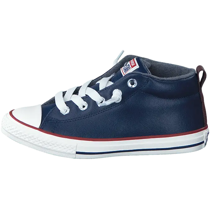
Navy Blue Casual High-Top Sneaker -
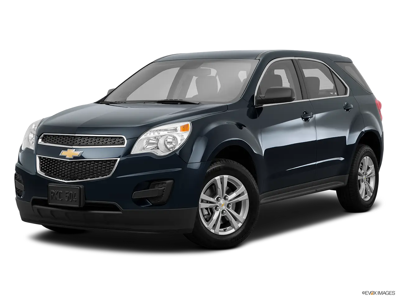
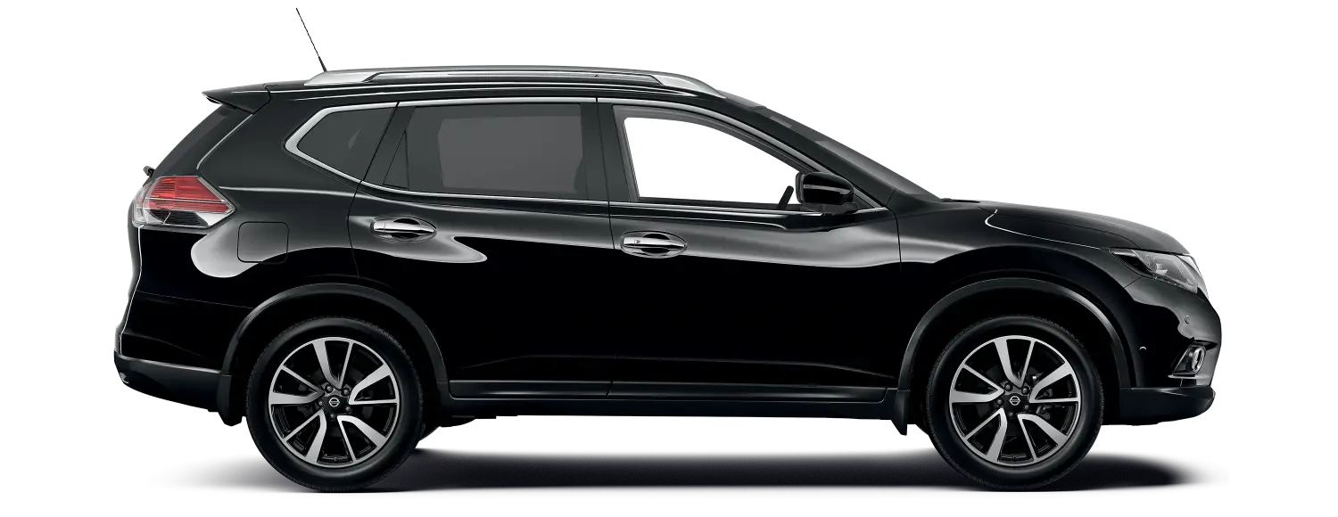
Black SUV for Comfortable Driving -
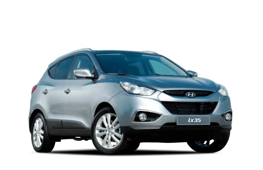
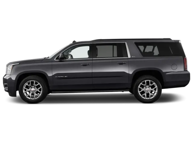
Silver SUV Automobile -

Colorful Abstract Painting with Geometric Shapes -

Satellite Dish Icon -
Free WiFi Area Logo -
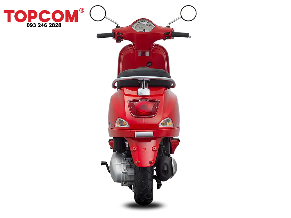
Red Electric Scooter -
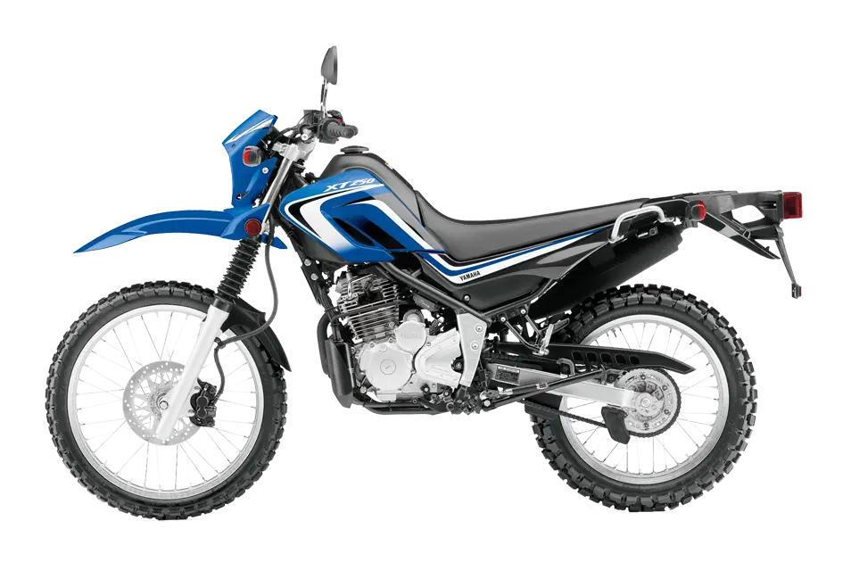
Blue Motorbike Illustration -
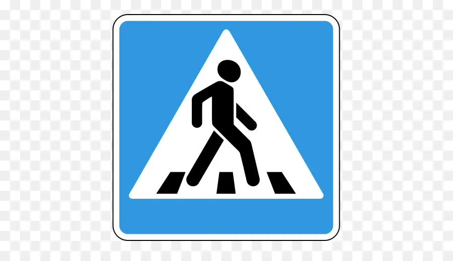
Pedestrian Crossing Road Sign Design -
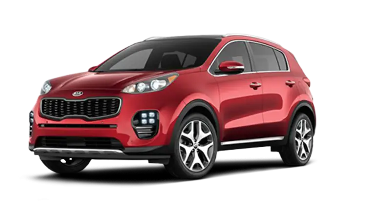
Red Compact SUV with Sleek Design -

Crackdown Text Logo with Graphic Motif -
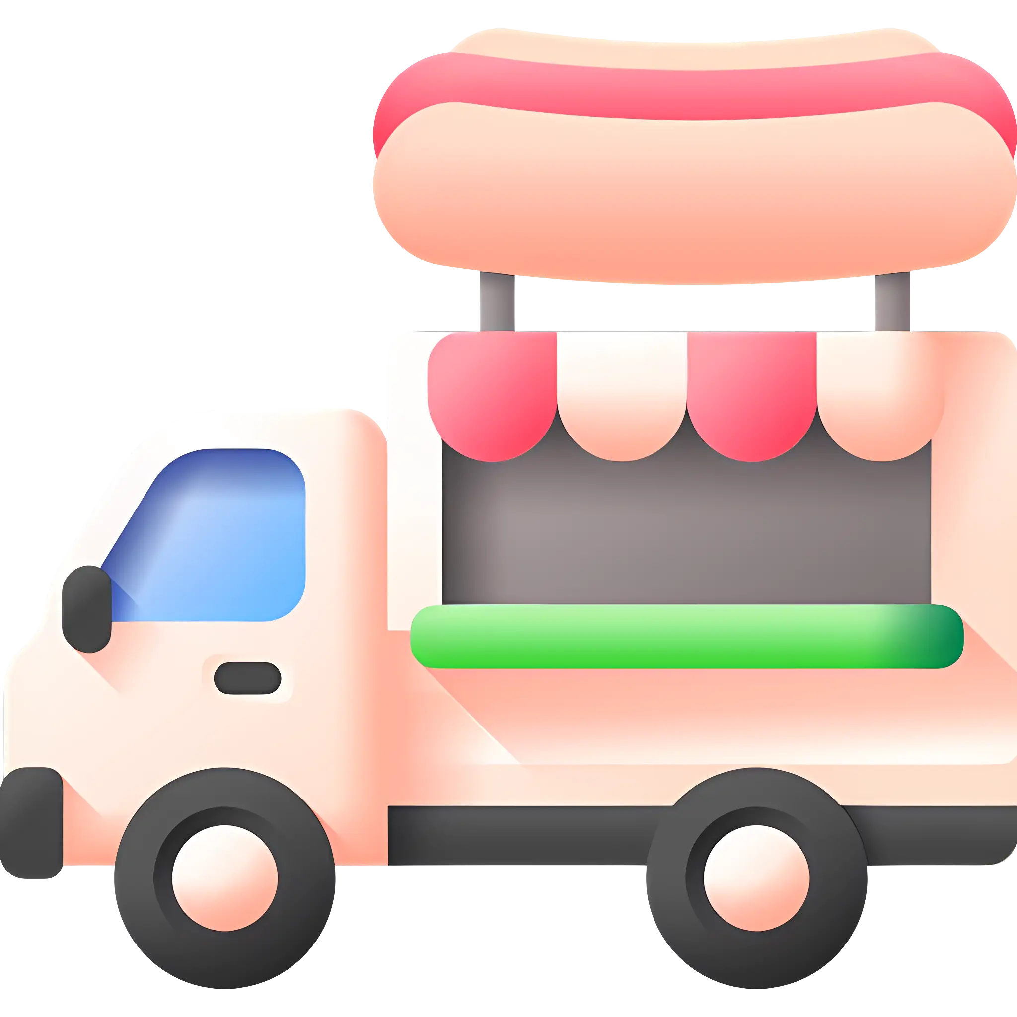
Cute Hot Dog Truck -
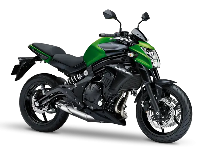
Green and Black Urban Motorcycle for Daily Commutes -

2020 New Year Celebration with Fireworks -

Person Holding Backpack in Casual Outfit -
Black SUV for Urban and Off-road Use -
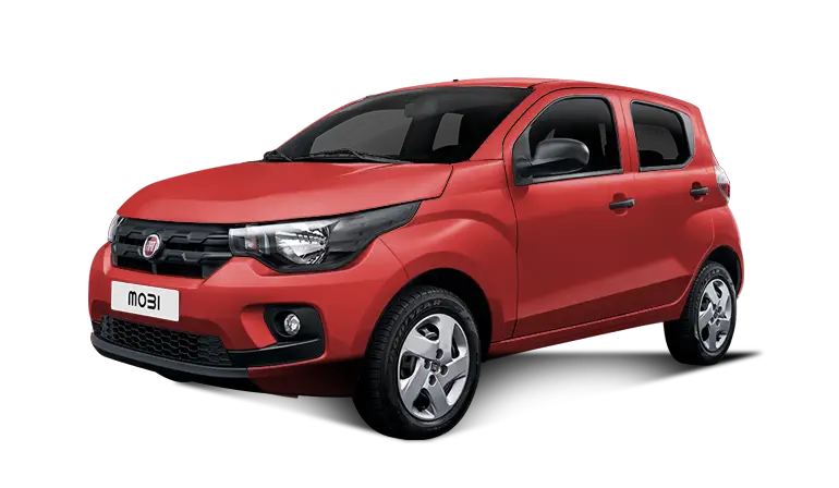
Red Compact Modern Car for Everyday Use -

School Building with Clock on Facade -

Wireless Padlock Icon with Wi-Fi Signal -
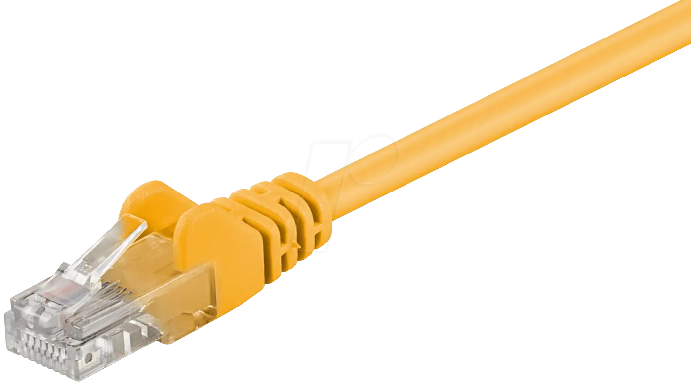
Yellow Ethernet Cable for Network Connections -

Phone Call Icon with Signal Waves -
Black SUV Car for Off-Road and Urban Travel -
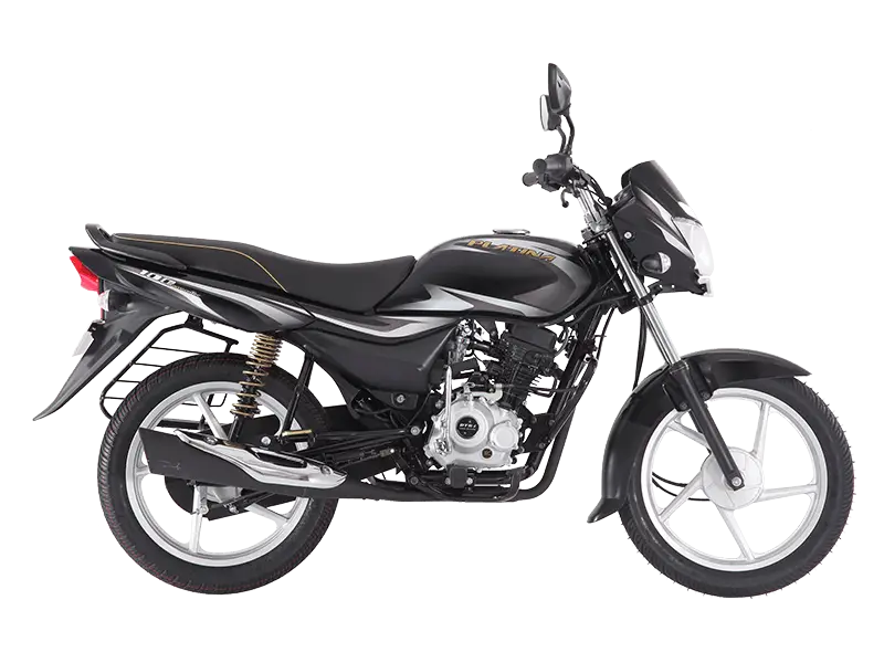
Black Motorbike for Smooth Rides -

Blue Signal Tower Icon with Radio Waves