You Might Like
-

Black Compass Star Icon for Navigation -
Blue Fish Graphic Illustration -

Blue Play Button Icon -
Black Starfish Necklace with Gem -
Cute Cartoon Dolphin Illustration -

Hand Swipe Gesture Icon for Interface Navigation -

Curved Right Arrow -

Blue Down Left Arrow Traffic Sign -
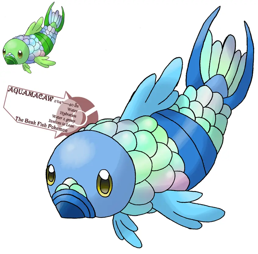
Colorful Cartoon Fish Illustration -
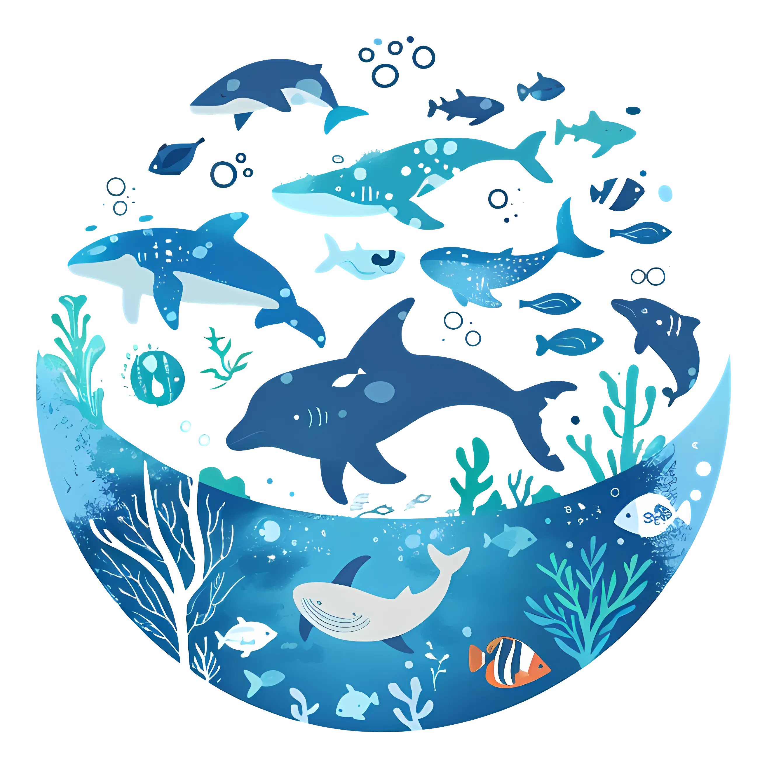
Vivid Marine Life in Underwater Illustration -

Blue Globe with Continents Illustration -

Blue Globe Model for Geography Learning -

Organizational Structure Chart -

Black Sailboat Silhouette Icon -
Sugar Island Coconut Rum Bottle -

Hamburger Menu Icon for Navigation -

Purple Cartoon Octopus with Big Eyes -
Red Arrow with Face -
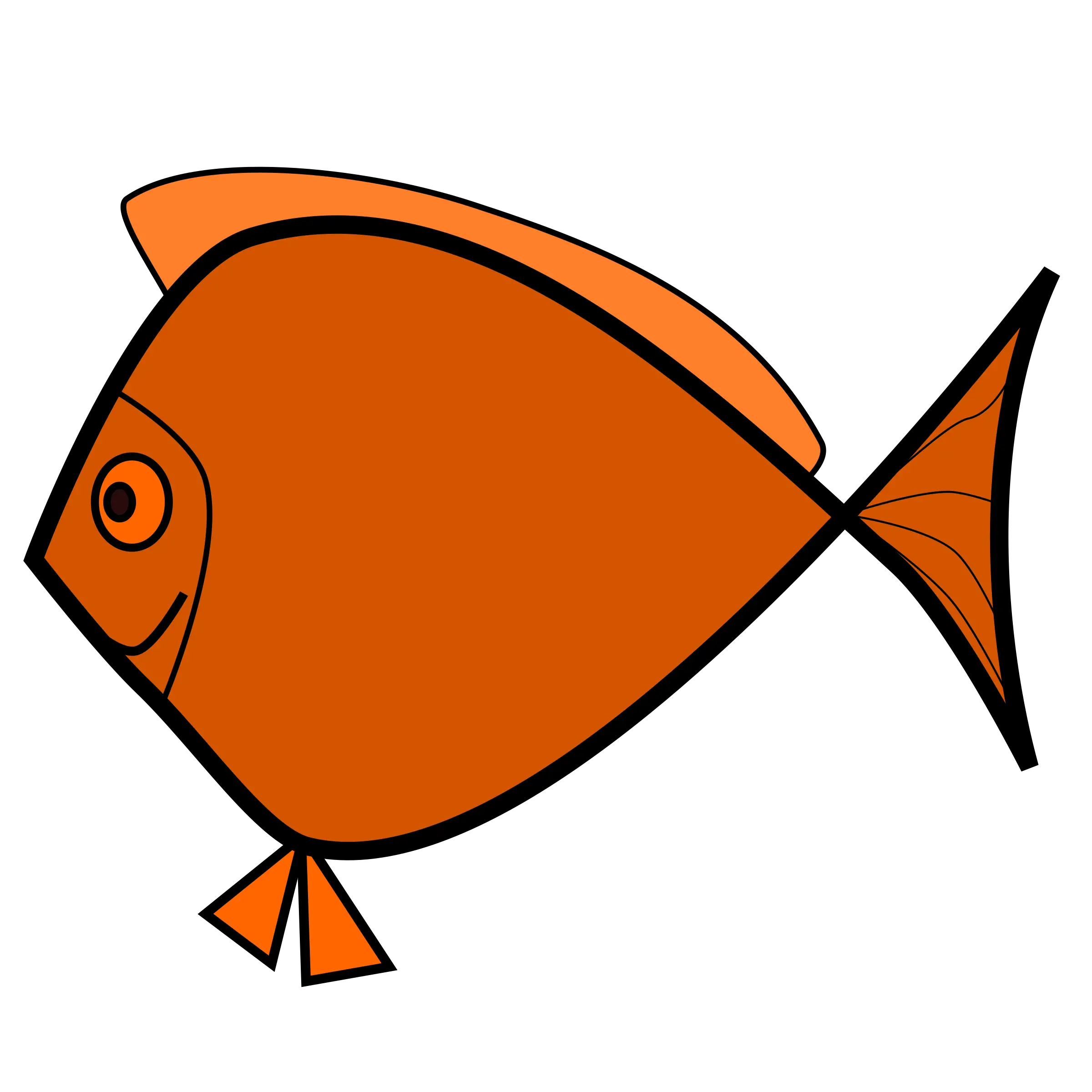
Orange Cartoon Fish Drawing -

Black Compass Rose for Navigation and Mapping -
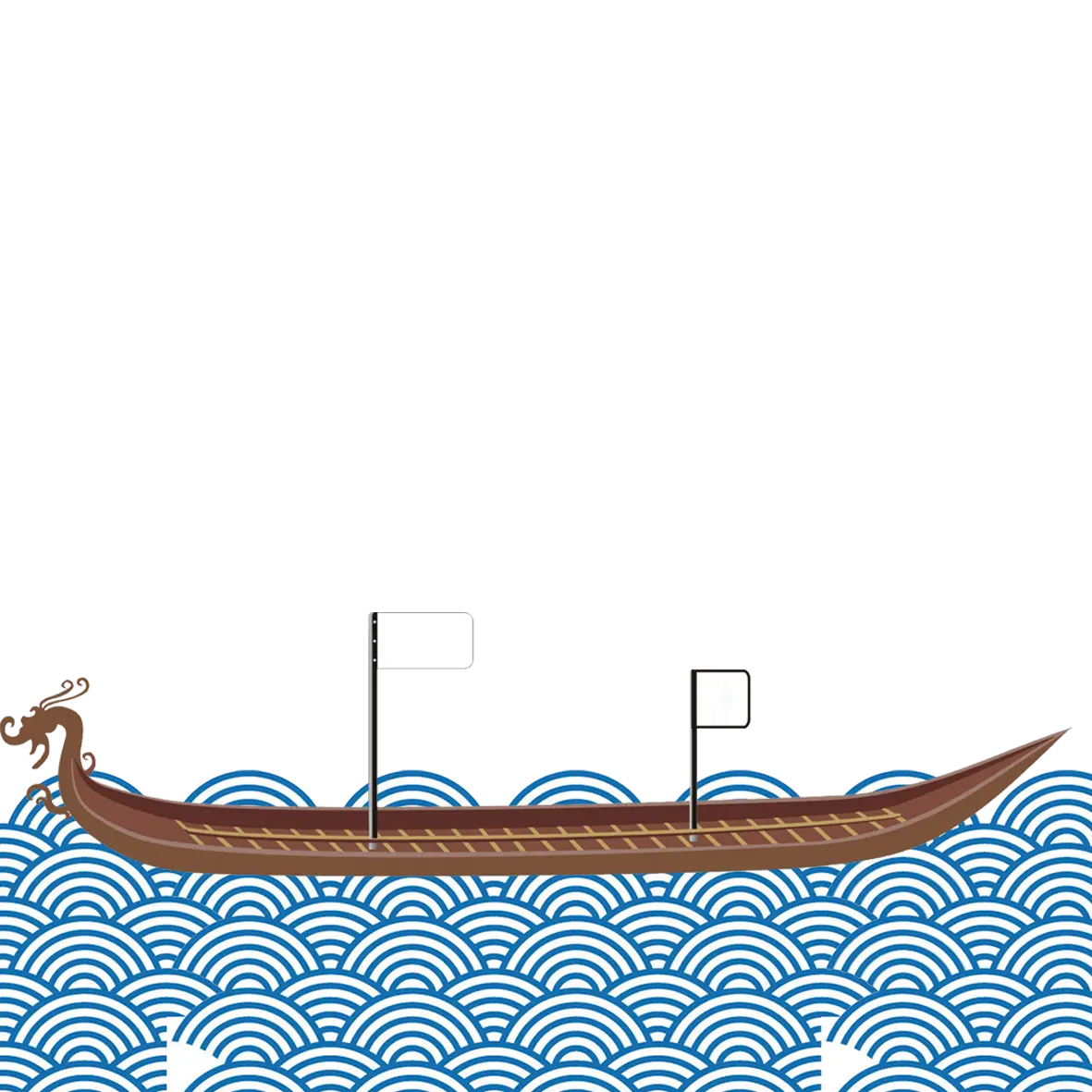
Traditional Dragon Boat on Waves -

Walking Person Silhouette Icon -
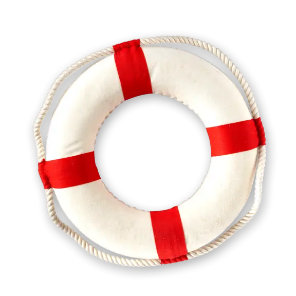
Life Buoy with Red Stripes -
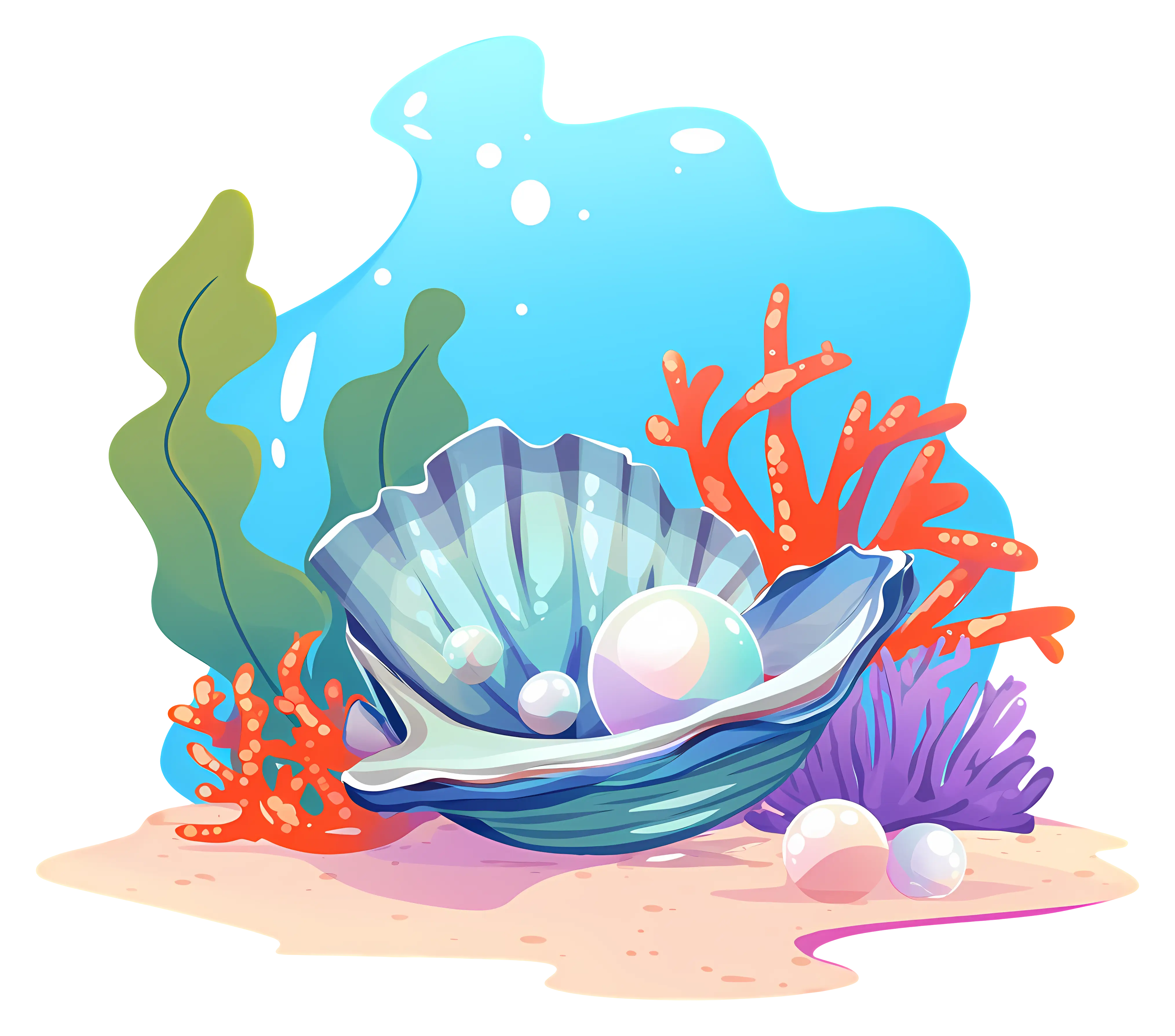
Underwater Pearl in Seashell Illustration -
Blue Boat Illustration -
Tentacled Creature with Hat -
Orange Cartoon Fish with Blue Fins -

Purple Curved Right Arrow -

Right Arrow Calendar Icon -

Bar Chart with Upward Arrow