You Might Like
-

Black Question Mark Icon -
Modern Black Binoculars -
Astronaut in Colorful Cosmic Swirl -

Female Photographer with Camera on Adventure -

Silhouette of Crawling Baby -
Cartoon Rockets and Spaceships Illustration -
Black Microscope Illustration -
Colorful Rocket Cartoon Illustration -

Mouse with Magnifying Glass Cartoon -
Yellow Submarine for Ocean Exploration -
Diver in Underwater Suit -

Olive Oil Bottle with Olives -
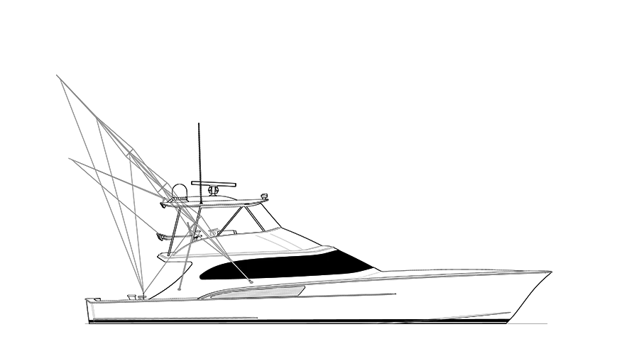
Fishing Boat Line Art Illustration -

Video Game Dungeon Map Layout -
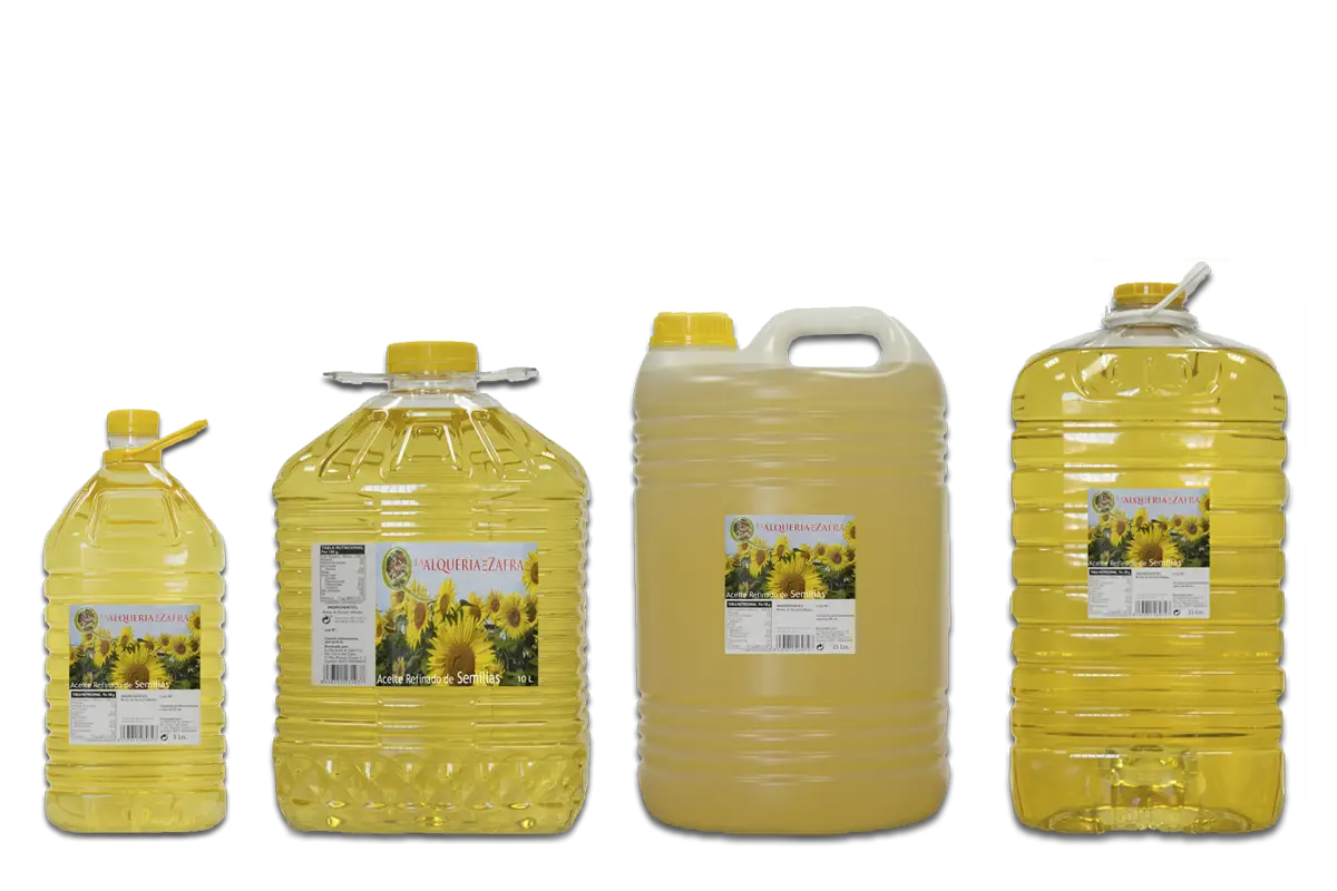
Sunflower Oil Bottles -

Pink and White Striped Hot Air Balloon -

Glass of Herbal Oil -

Space Station Silhouette -

Magnifying Glass with Graph Illustration -
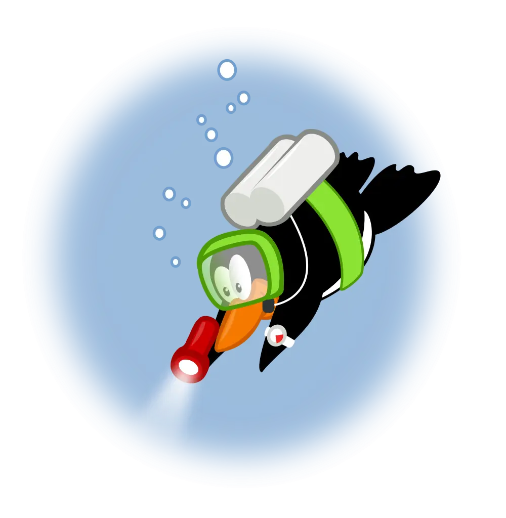
Cartoon Diving Penguin -

Essential Oil with Flowers -

Astronaut Floating in Outer Space Illustration -

Explore the World with a Globe -
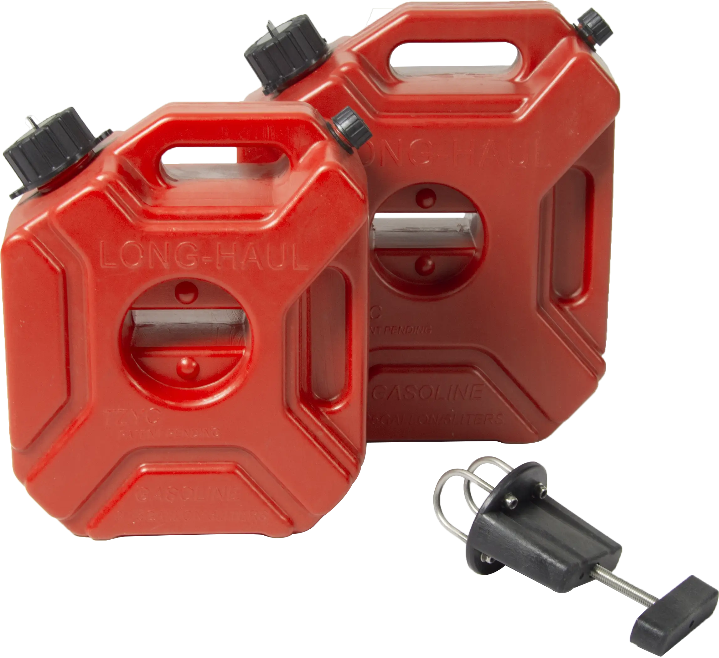
Red Fuel Cans with Spout -
Cartoon Boy in Military Uniform with Binoculars -

Orange Gas Station -

Gazprom Neft Logo -
Green Oil Barrel for Storage -
ESA European Space Agency Logo -
Cartoon Rocket Launching