You Might Like
-

Hand Holding Plant with Energy Symbol -

Recycling Symbol with Plastic Bottle -

Green Globe Icon Representing Sustainability -

Go Green Illustrated Colorful Tree -

Eco-Friendly Nuclear Power Plant Symbol -
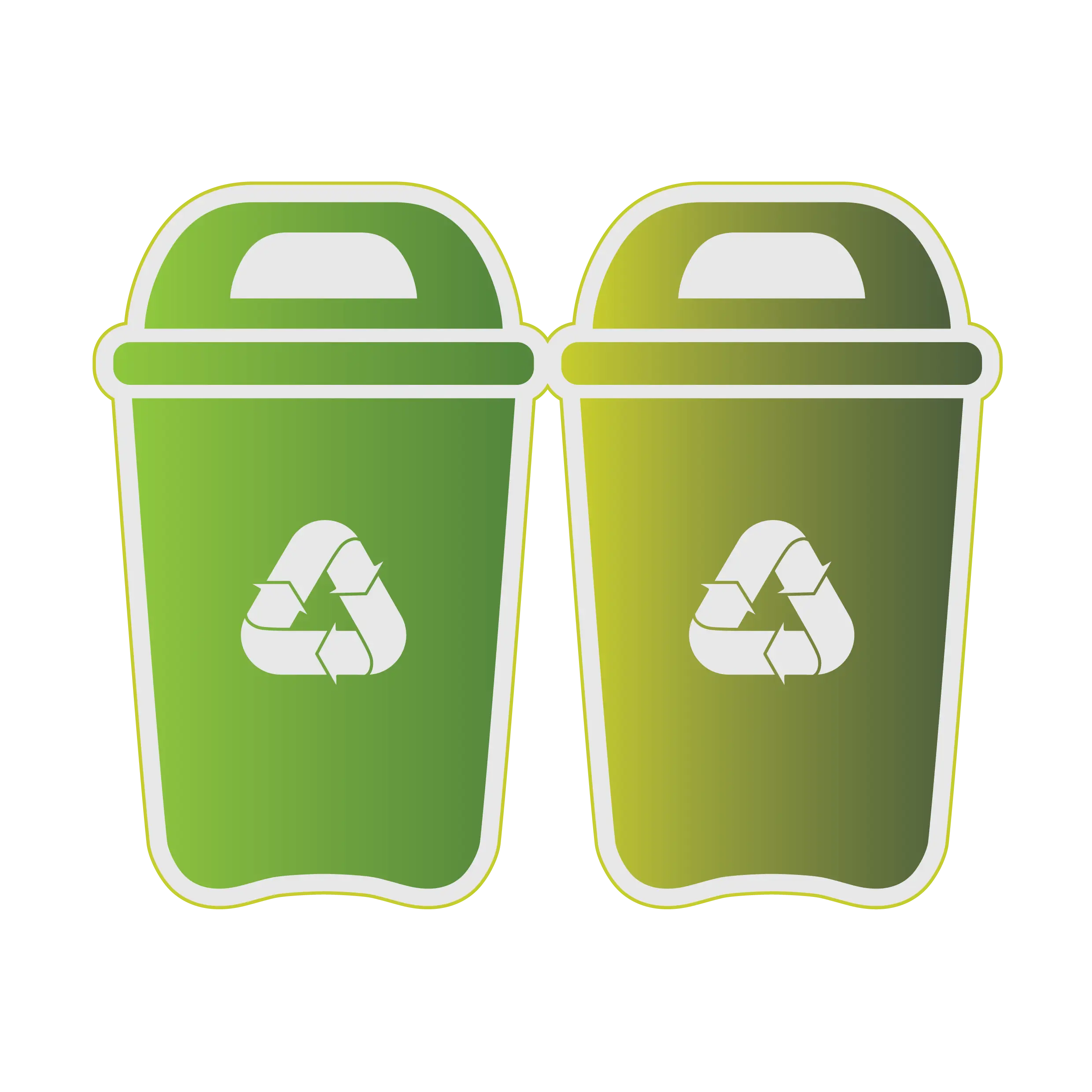
Green Recycling Bins with Logos -

Recycling Person Symbol for Waste Disposal -

Industrial Factory with Smoky Chimneys -

Blue Recycling Symbol Logo -

Radioactive Symbol Black and Metallic Logo -

Map with Multiple Green Location Pins -

Yellow Radioactive Warning Symbol -

Green Leaf with Arrows for Recycling Concept -

Happy Earth Illustration with Leaves -
Blue Recycling Symbol Logo -

Burning Forest with Flames -

Tornado in a Grassy Open Field Design -

Nature Anywhere Logo -

Eco-friendly Truck with Leaf -

Mountain Logo in Blue and Green -
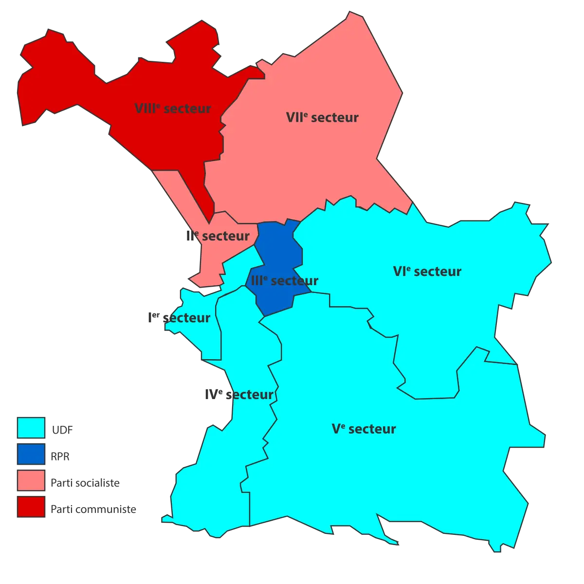
Political Map Displaying Regional Sectors -
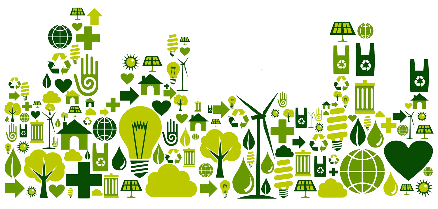
Green Eco Icons for Sustainability -
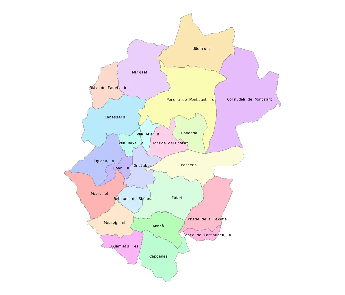
Color-Coded Map of Regional Divisions -
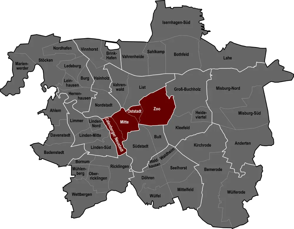
City Map with Highlighted Regions -

Blue Fish Illustration for Mother Ocean Day -

Illustrated Hand Holding a Nurtured Green Plant -

Crying Polar Bear on Iceberg -

Earth with Leaves in a Hand for Sustainability Concept -

Earth Illustration Surrounded by Leaves for Conservation Concept -

Green Robots with Earth