You Might Like
-
Tanker Truck Illustration in Outline Style -
Computer Tower with Phone Icon -
Wooden Pallet For Storage and Shipping -

Line Art Delivery Vehicle Illustration -
Cartoon Delivery Truck Illustration -
Hand Truck with Boxes for Easy Transport -
Black Car Tire with Treads -
Minimalistic Chassis Truck Vehicle Frame -

Simple Nuclear Power Plant Icon -

Black Fire Hydrant Silhouette -

Transportation Logistics with Global Shipment -

Blue Boat Icon -
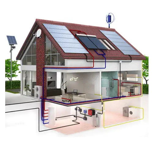
Energy Efficient House with Solar Panels -
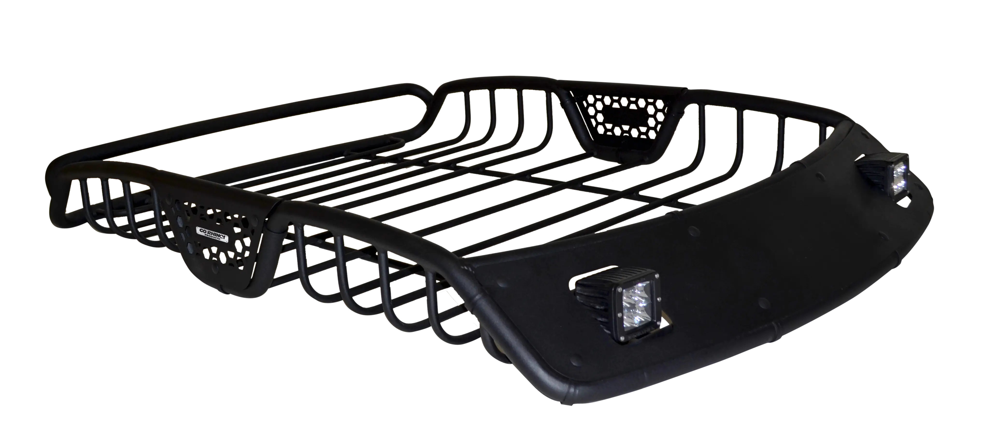
Black Car Roof Rack Design -

Cardboard Box with Tape Illustration -
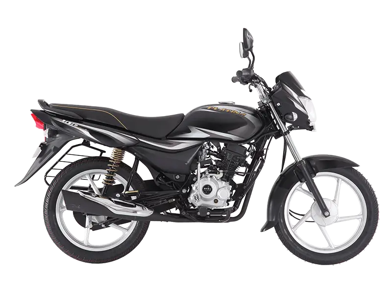
Black Motorbike for Smooth Rides -
Truck Outline Icon Illustration -

Large Water Tank for Storage -
Network Switch for Data Connectivity Solutions -
Black Modern Scooter -
Black Truck -
Tow Truck Outline -
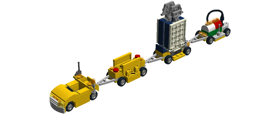
Lego Toy Train -
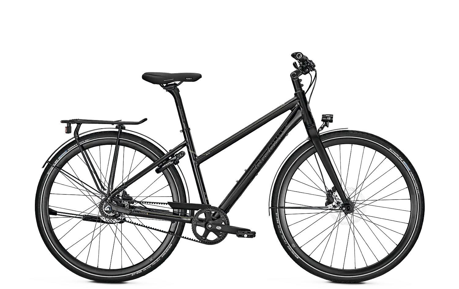
Black Bicycle for Outdoor Rides -
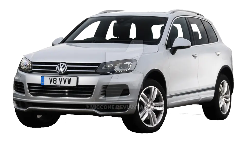
Silver SUV Vehicle Illustration -

Truck Silhouette for Transport and Freight -
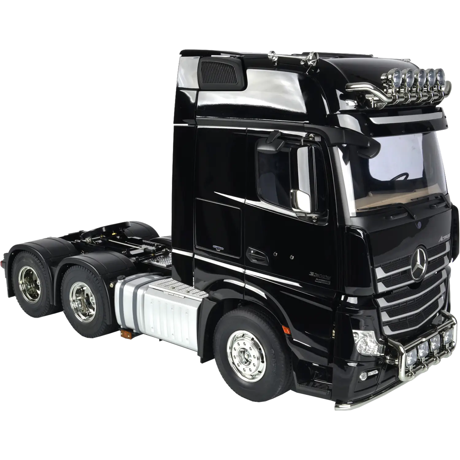
Black Truck Model for Collection or Play -
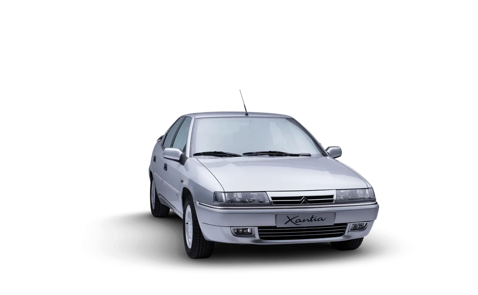
Silver Car for Urban Transportation -
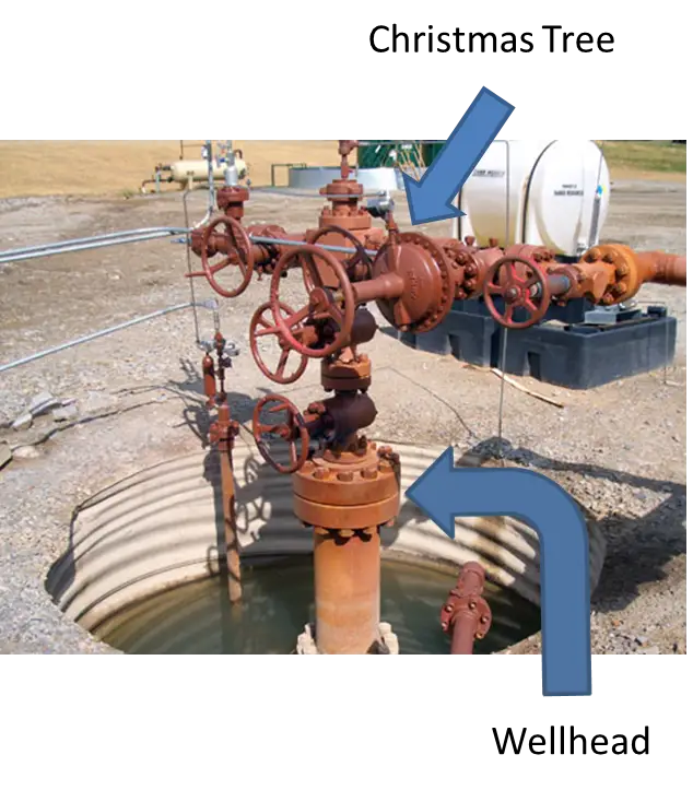
Oil Wellhead and Christmas Tree Equipment -
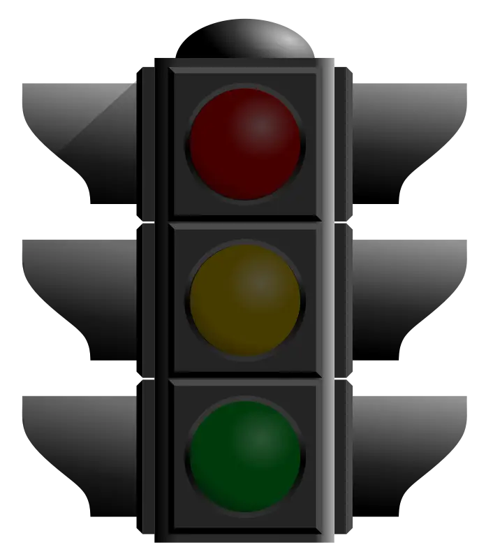
Traffic Light Illustration with Signals