You Might Like
-

Satellite Dish Icon -

Blue Satellite Icon with Signals -
Bright Full Moon Illustration -

Map with Multiple Green Location Pins -

Portable GPS Tracker Device -
Toshiba Laptop -
Trailer Hitch for Vehicle -
Black Pistol Frame for Assembly -
Seiko Black and Silver Chronograph Wristwatch -

Earth and Satellite in Space -

Earth Globe Showing the Americas -

Simple Location Pin Icon -
Satellite with Solar Panels in Space Exploration Theme -

Phone Call Icon Illustration -

Satellite Dish Icon -

Blue Location Pin Icon -
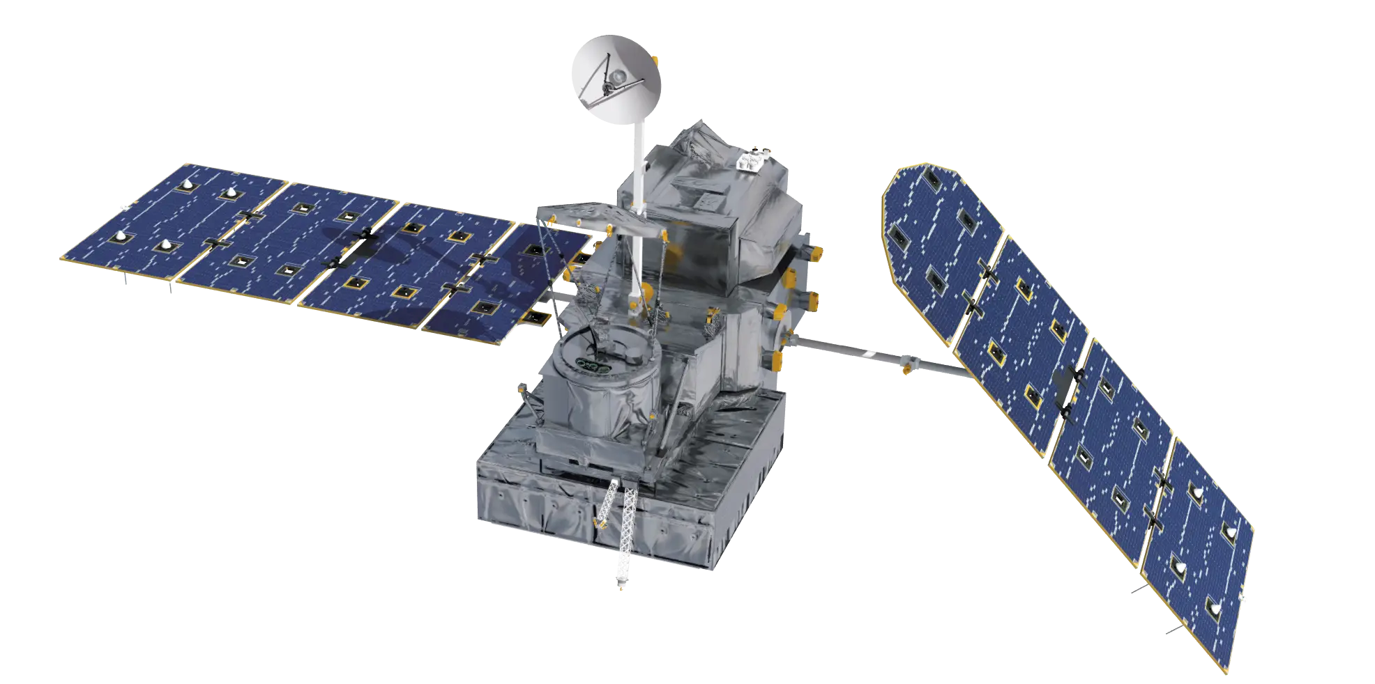
Modern Satellite with Solar Panels -

Black Satellite Dish Icon for Communication Networks -

Black Telephone Receiver Icon Design -

Black Phone Receiver Icon -

Phone Handle Icon for Communication -

Silhouette Telephone Receiver Icon -
Satellite Dish for Communication -
Various Rocket Illustrations -

Navigation Map Icon with Route -
Space Satellite with Solar Panels -

Green Phone Communication Icon -

Telephone Receiver Icon in Black -

Telephone Receiver Icon Illustration -

Black Satellite Dish Icon Design