You Might Like
-

Colored Regional Map of Africa -
Tanker Truck Illustration in Outline Style -
Wooden Pallet For Storage and Shipping -

Black Compass Rose for Navigation and Mapping -

Line Art Delivery Vehicle Illustration -
Cartoon Delivery Truck Illustration -
Hand Truck with Boxes for Easy Transport -
Black Car Tire with Treads -
Minimalistic Chassis Truck Vehicle Frame -

Transportation Logistics with Global Shipment -

Blue Boat Icon -
Black Car Roof Rack Design -

Cardboard Box with Tape Illustration -
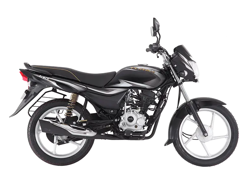
Black Motorbike for Smooth Rides -

Map Highlighting Specific Regions -
Truck Outline Icon Illustration -
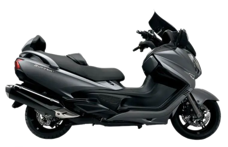
Black Modern Scooter -

Campground Map for Outdoor Adventures -

Simple Navigation Map -
Black Truck -
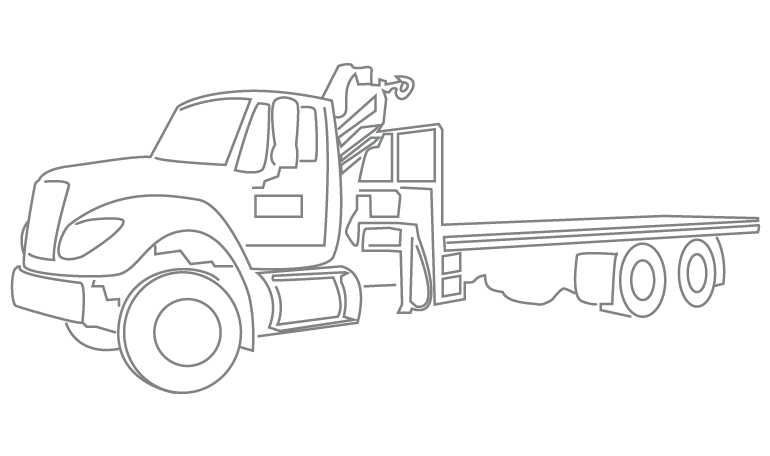
Tow Truck Outline -

Map of Russia with Red, White, and Blue Flag Colors -

Red Globe Pin Illustration -

Map of Vietnam -
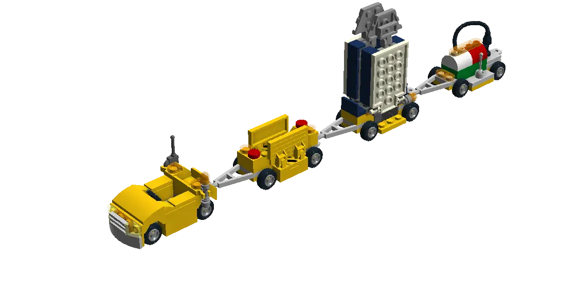
Lego Toy Train -

Gray Map Silhouette on Transparent Background -
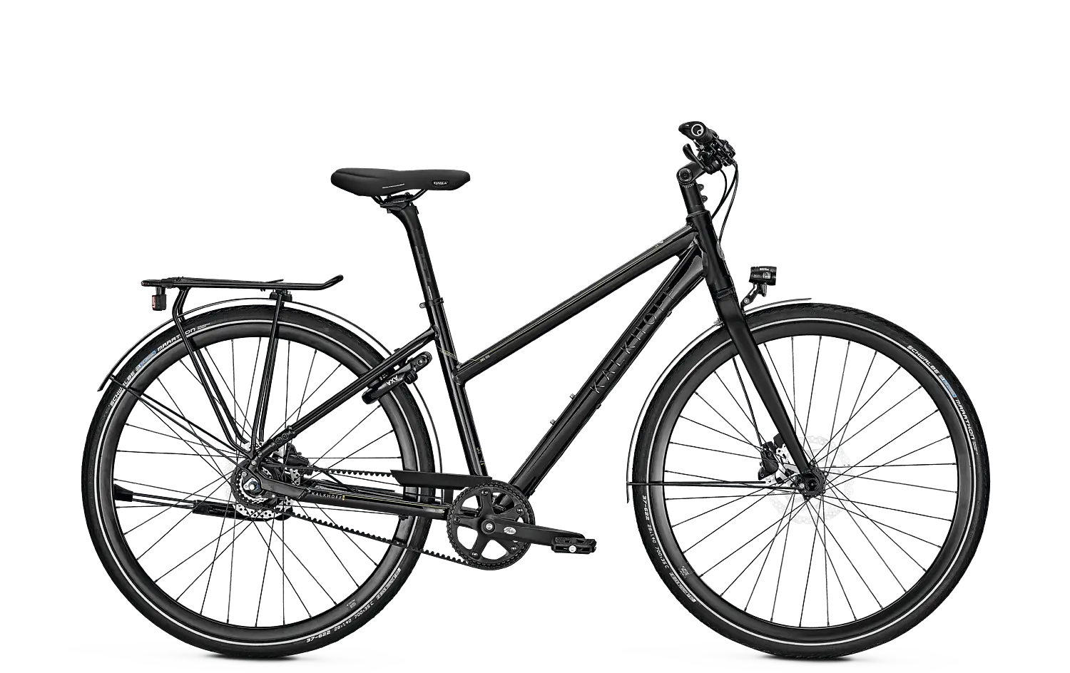
Black Bicycle for Outdoor Rides -

Video Game Dungeon Map Layout -
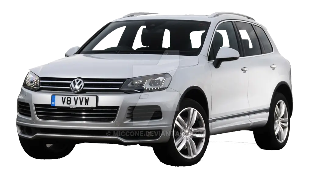
Silver SUV Vehicle Illustration -

Blue Map of Germany with Regions