You Might Like
-
Sugar Island Coconut Rum Bottle -
Cartoon Groundhog Day Celebration -

Black Windy Weather Icon -

Orange Thermometer Icon Illustration -
Cayman Islands National Flag -

Assorted Rum Bottles -
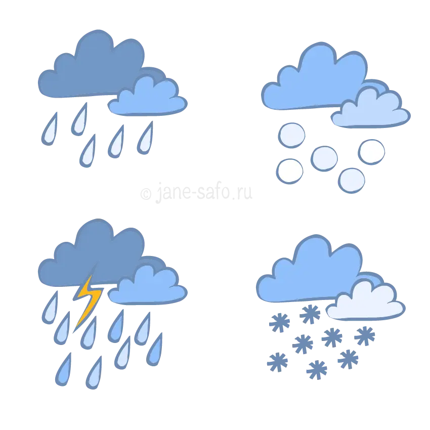
Weather Icons Showing Rain, Snow, and Storm -
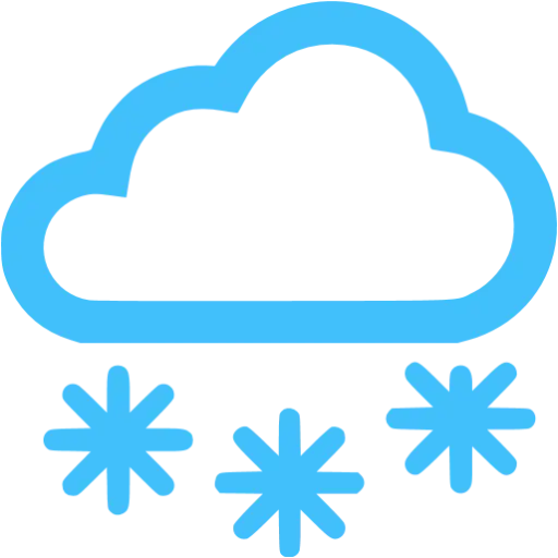
Blue Cloud with Snowfall Weather Symbol -

Black Clouds Weather Icon for Forecasting -
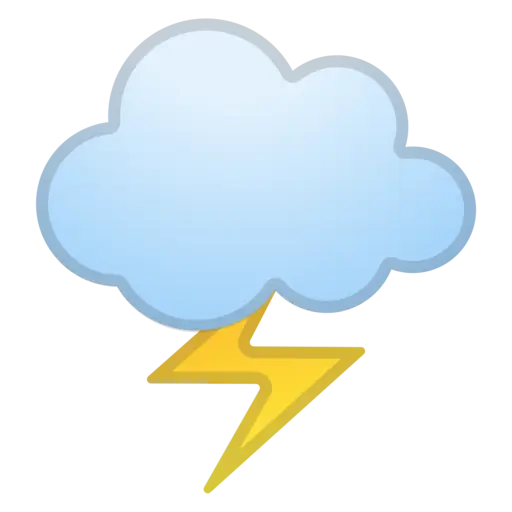
Cloud with Lightning Weather Icon -

Cloud and Sun with Rain Illustration -

Air Jamaica Airline Logo -
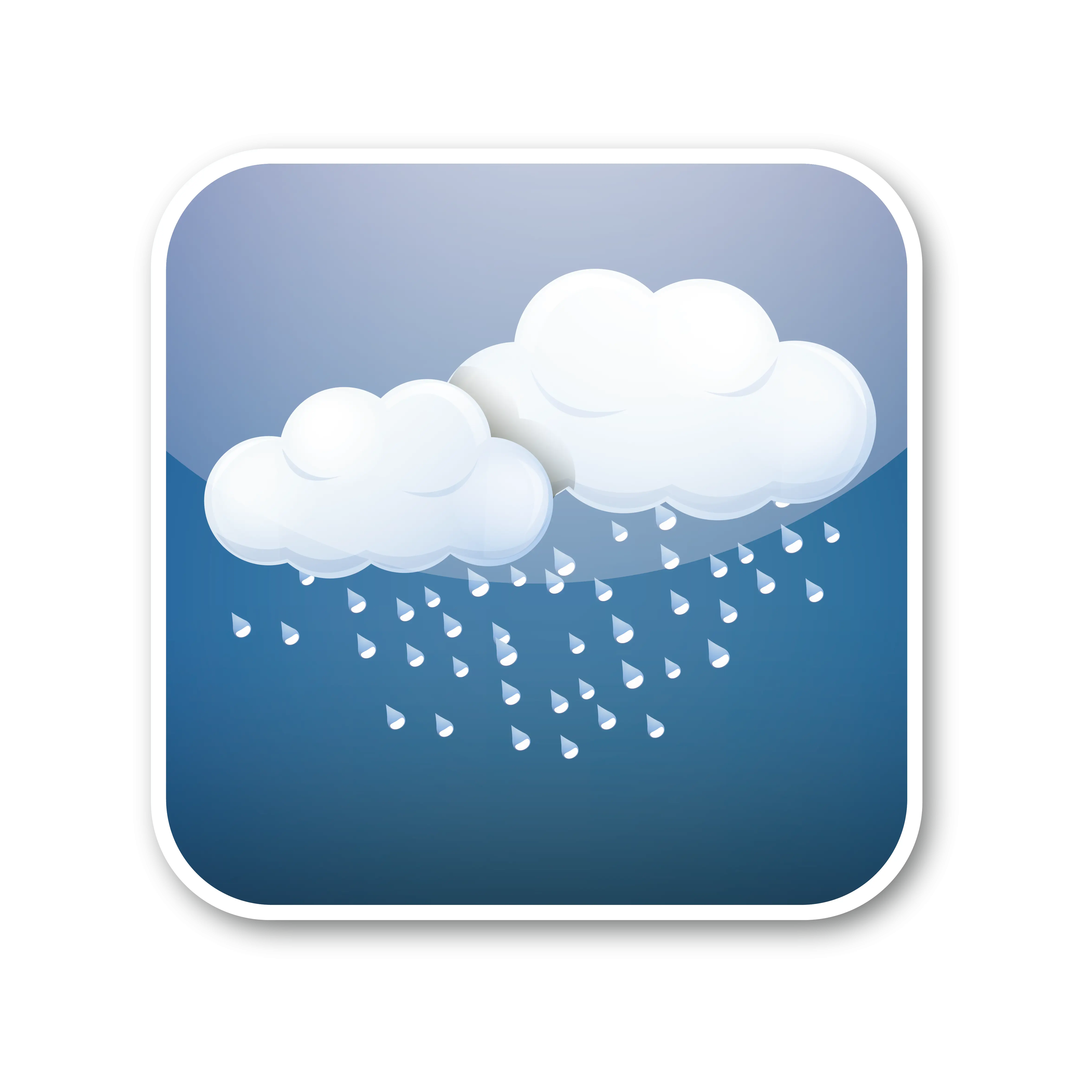
Rainy Weather Icon -

Cloud and Sun with Snowfall Icon -
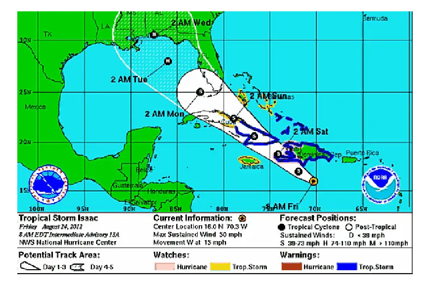
Hurricane Symbol for Weather Alert -

Weather Cloud with Rain and Sun Symbol -
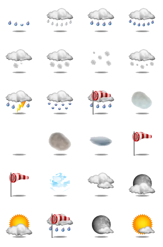
Various Weather Icons -
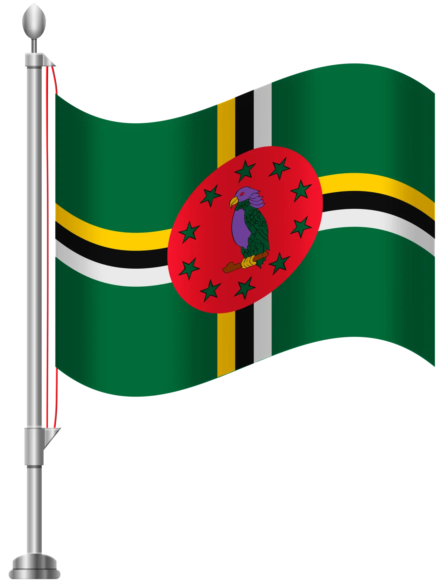
Dominica National Flag Illustration -
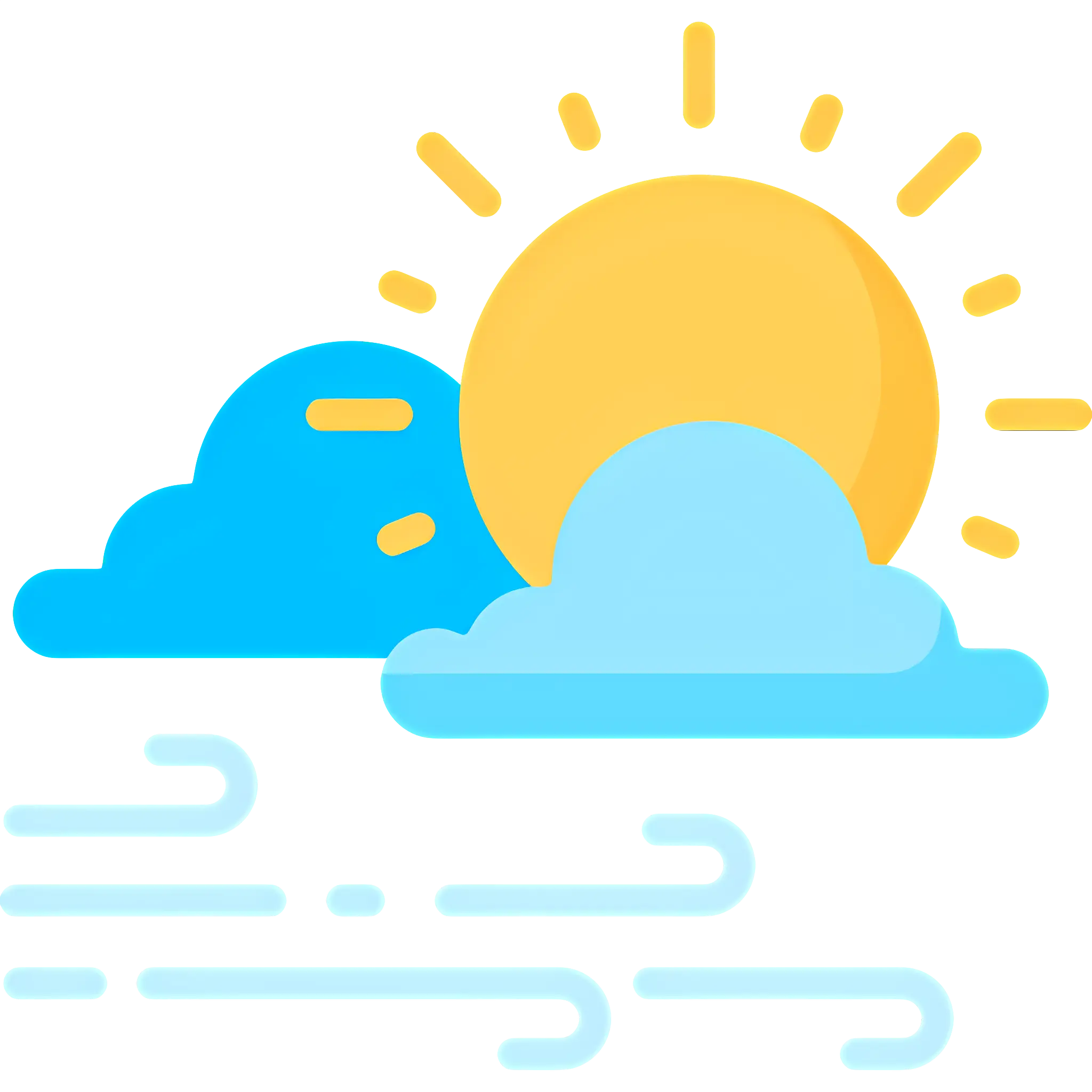
Sun and Clouds with Wind Weather Icon -

Tornado Weather Symbol Icon -

Windy Cloud Black Icon for Weather -
Pink Sun and Cloud Weather Icon -
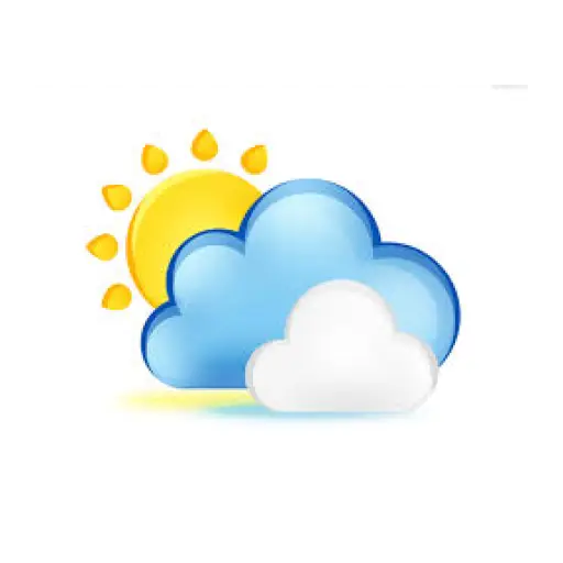
Partly Sunny with Clouds Weather Illustration -
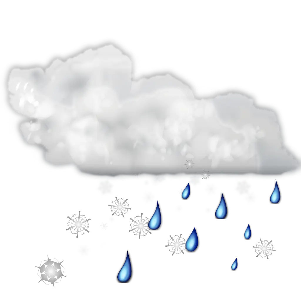
Cloud with Rain and Snow Weather Icon -
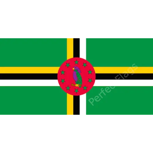
Flag of Dominica -

Cloud and Snowflakes Weather Icon -

Black Cloud Icon for Weather or Data Concepts -

Weather Icon with Sun, Cloud, and Snow -
Puerto Rico Flag in Hexagon Shape -
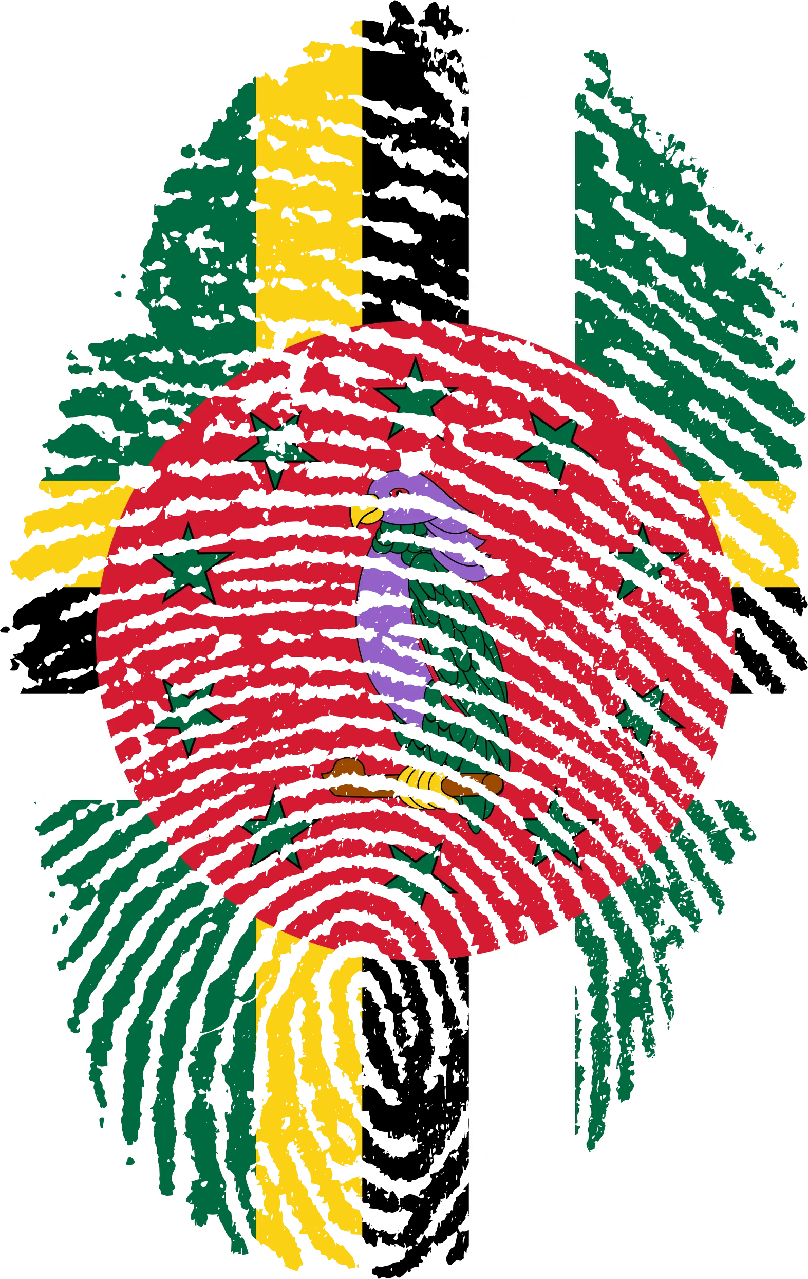
Fingerprint Art Featuring Dominica Flag Design