You Might Like
-

Red and White Striped Hot Air Balloon -
American Flag Icon -
Wavy American Flag Illustration -
Illustration of the USA Flag -

National Salute America's Heroes Logo -
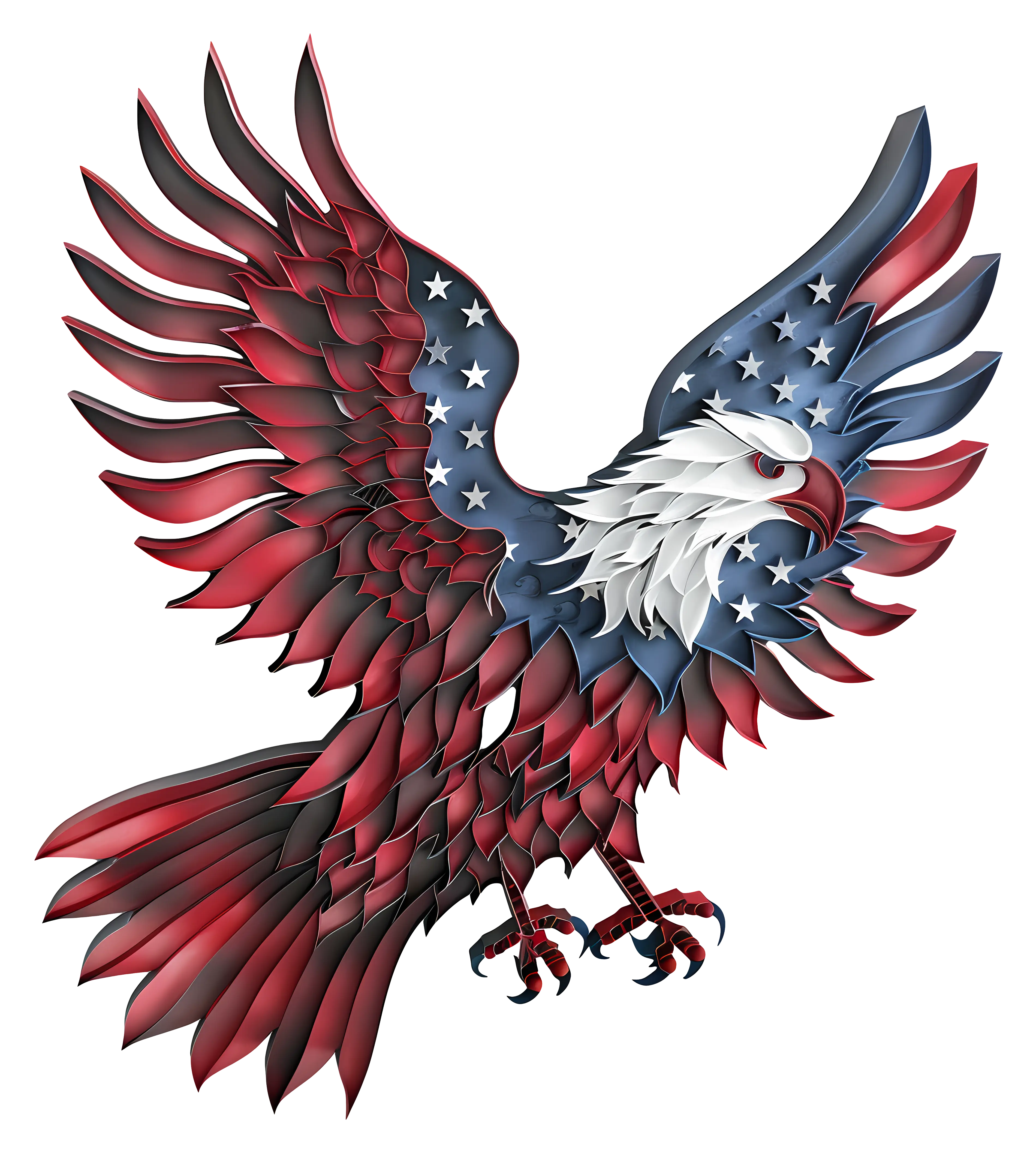
Eagle Illustration with American Flag Theme -
United States National Flag with Stars and Stripes -
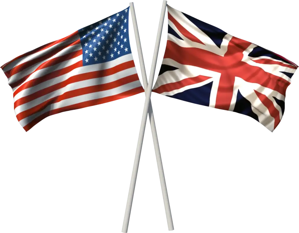
Crossed USA and UK Flags for National Symbols -

Patriotic Ribbon Bow for Celebrations -

Patriotic Hat for Presidents Day Celebration -
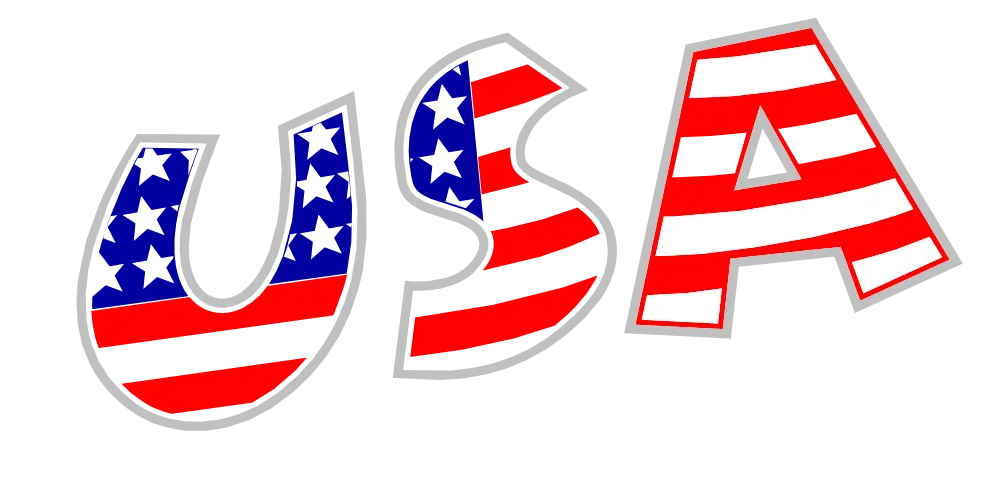
USA Styled Patriotic Decorative Text -
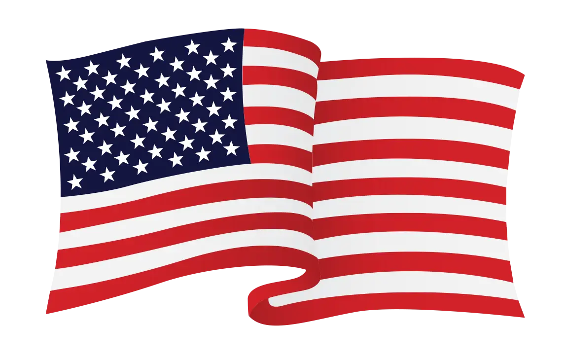
The Waving American Flag -
Wooden Oregon Map Cutout -

Blue Texas Map Silhouette -

Veterans Day Artistic Flag Design -
American Flag Logo with Metallic Border -

Statue of Liberty Black and White Illustration -
Light Blue Outline Map of California -
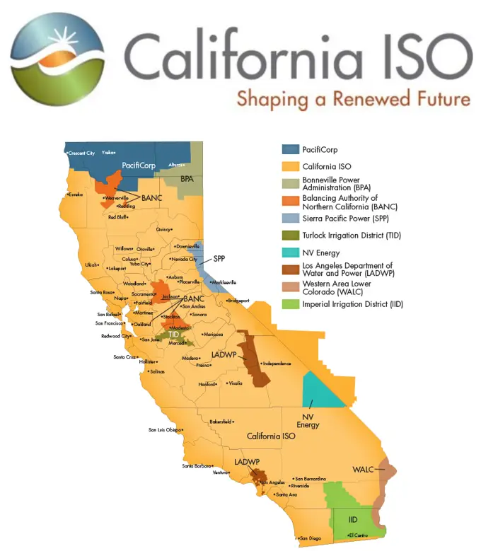
California ISO Energy Map -
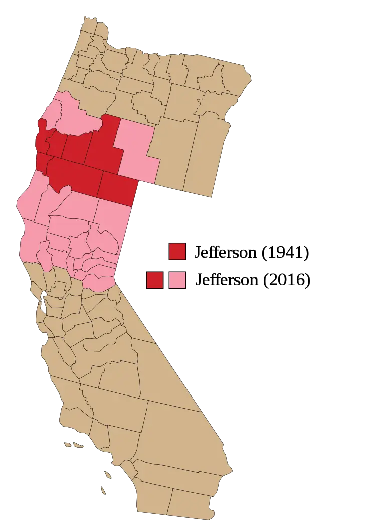
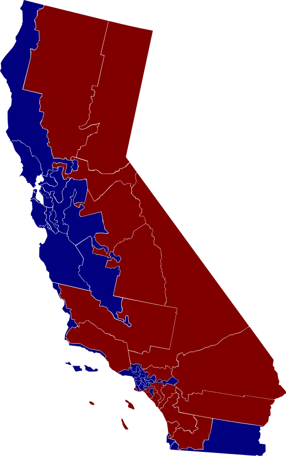
Map of Proposed Jefferson State -

Republican Elephant Party Logo -
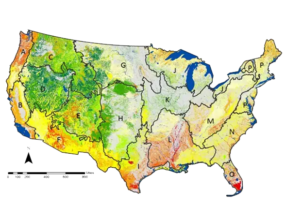
Map of USA with Geographical Details -

Patriotic Banner with Stars and Stripes Design -
American Flag Illustration -
Hawaii Map Highlighting One Region -
Blue Map of United States with States Highlighted -
Famous Hollywood Sign -

Republican Party Elephant Symbol -
Gray USA Map Outline -
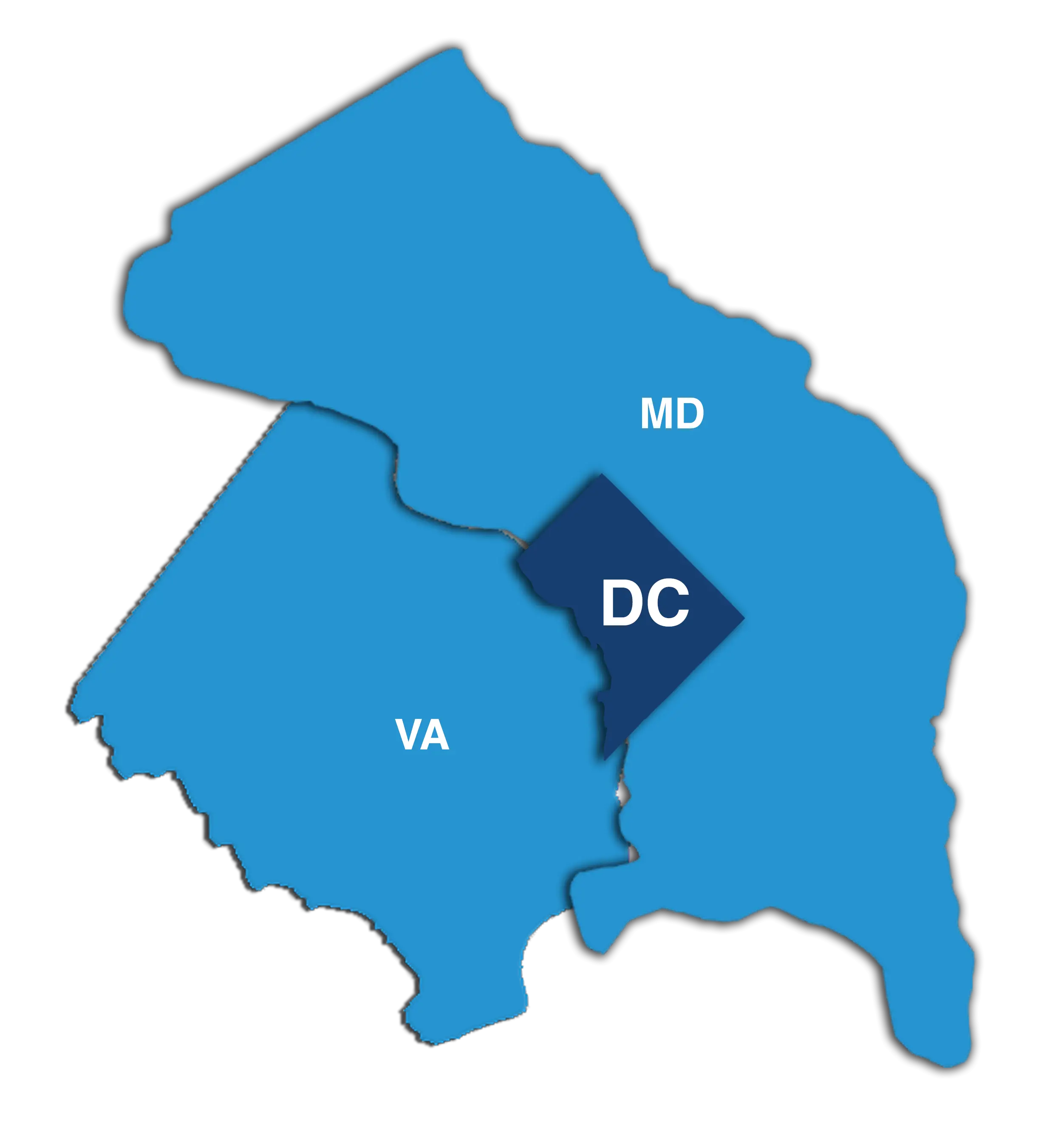
Map Highlighting Washington DC and Surrounding Areas