Free Political Map Cliparts and Illustrations
Free 24 political map cliparts & illustrations for your personalized works, such as california political map illustration, black map of russia with highlighted regions, map of europe with highlighted areas, map with country flags overlay and many more.
-
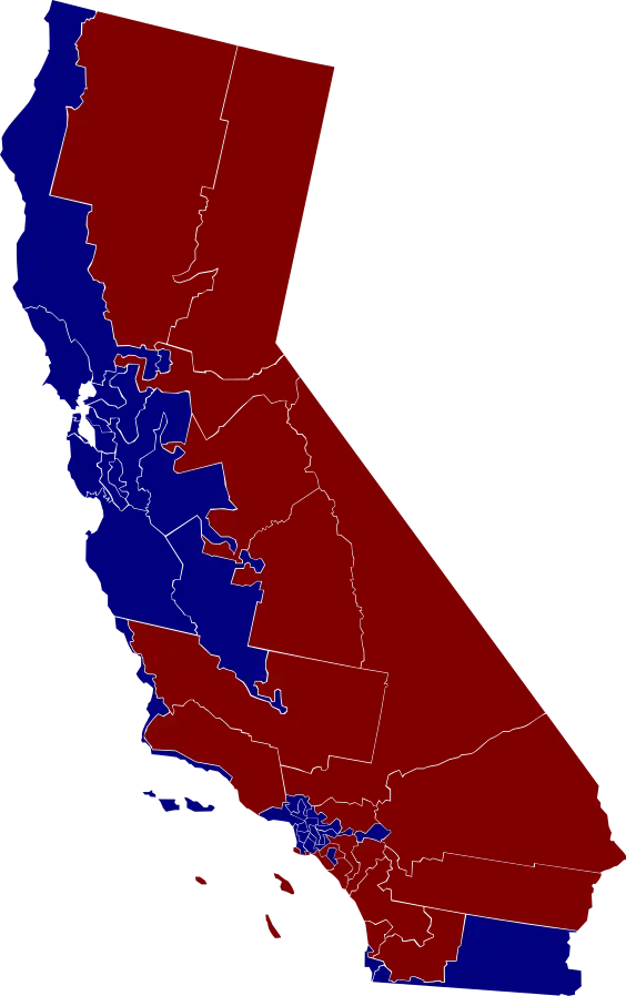
California Political Map Illustration -
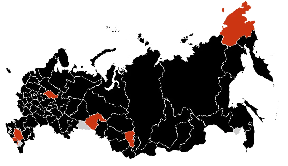
Black Map of Russia with Highlighted Regions -
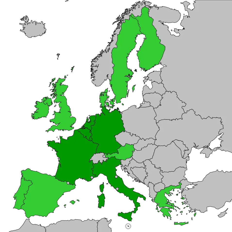
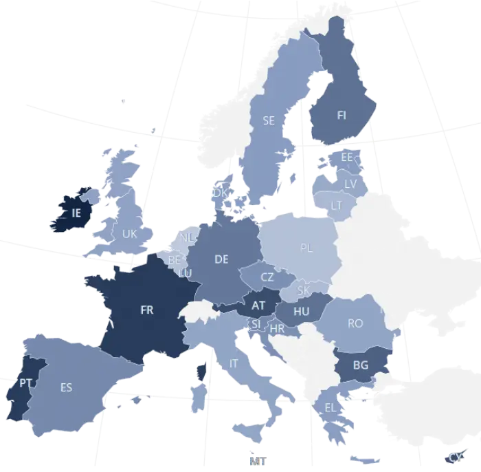
Map of Europe with Highlighted Areas -
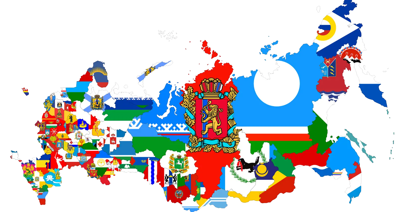
Map with Country Flags Overlay -
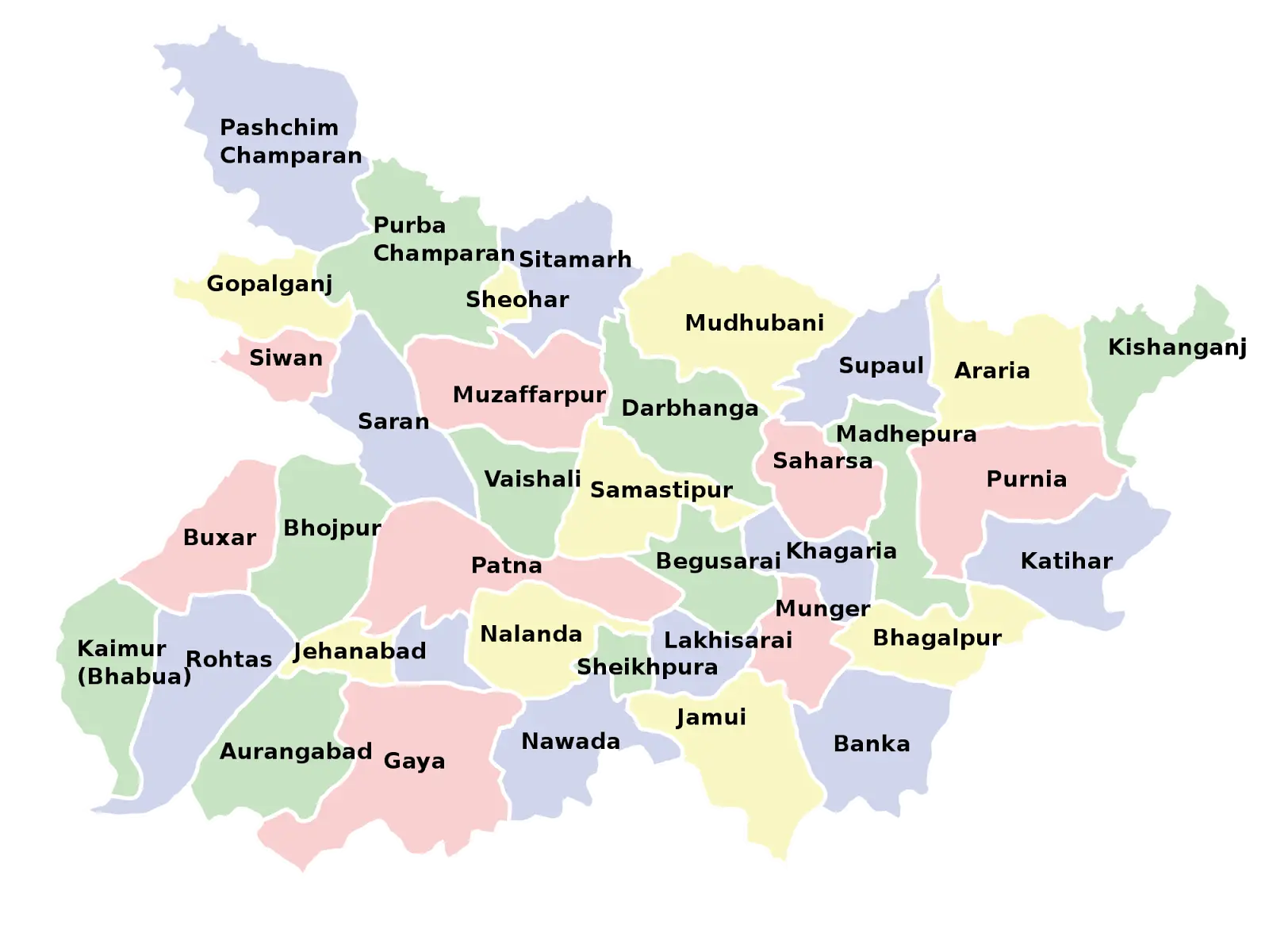
Map of Bihar with District Divisions -
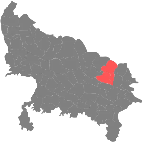
Highlighted Regions on State Map -
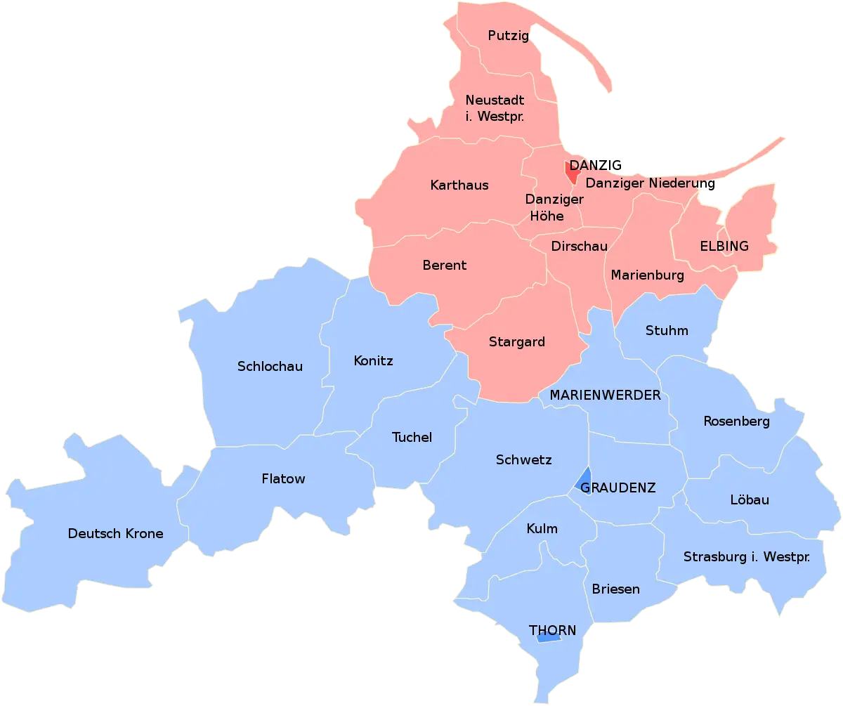
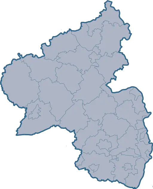
Political Map with Regions and Boundaries -
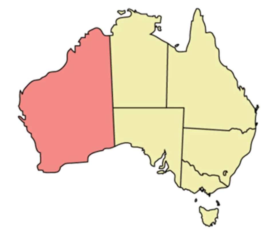
Map of Australia -
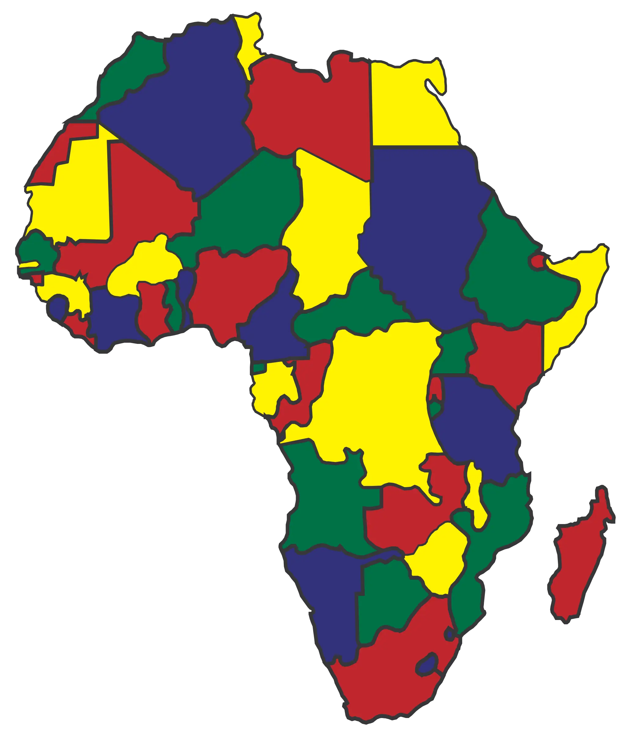
Color-coded Map of Africa with Boundaries -
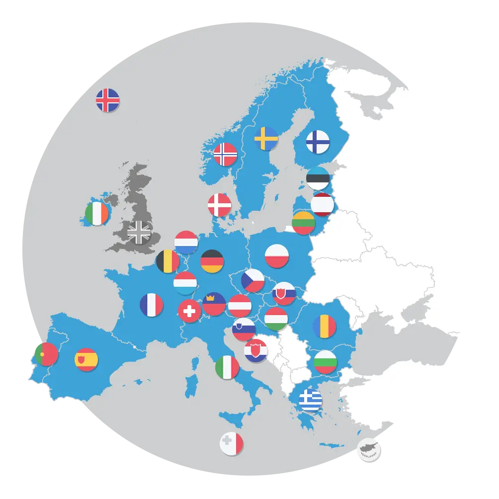
European Countries Map with Flags -
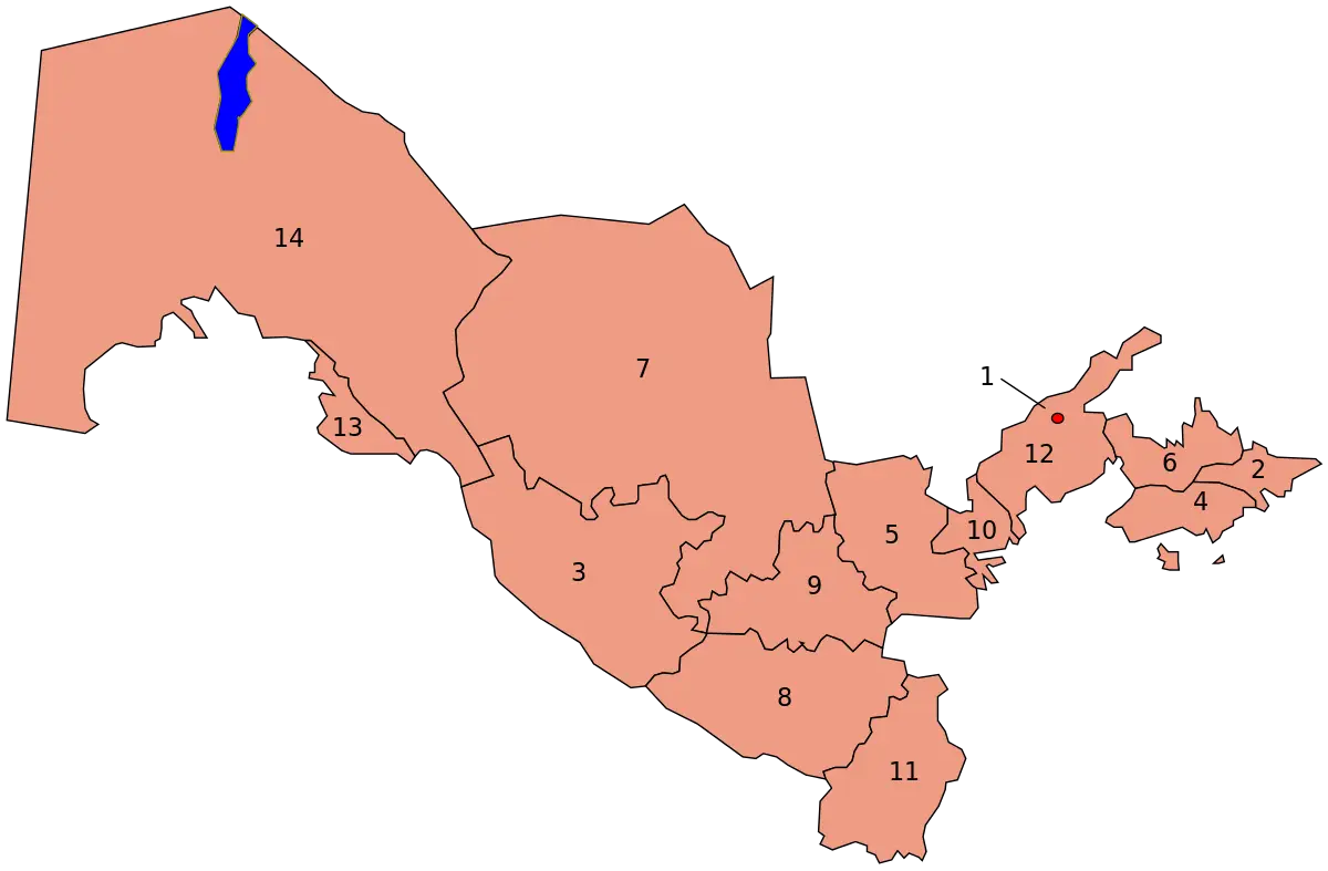
Map of Uzbekistan with Regions -
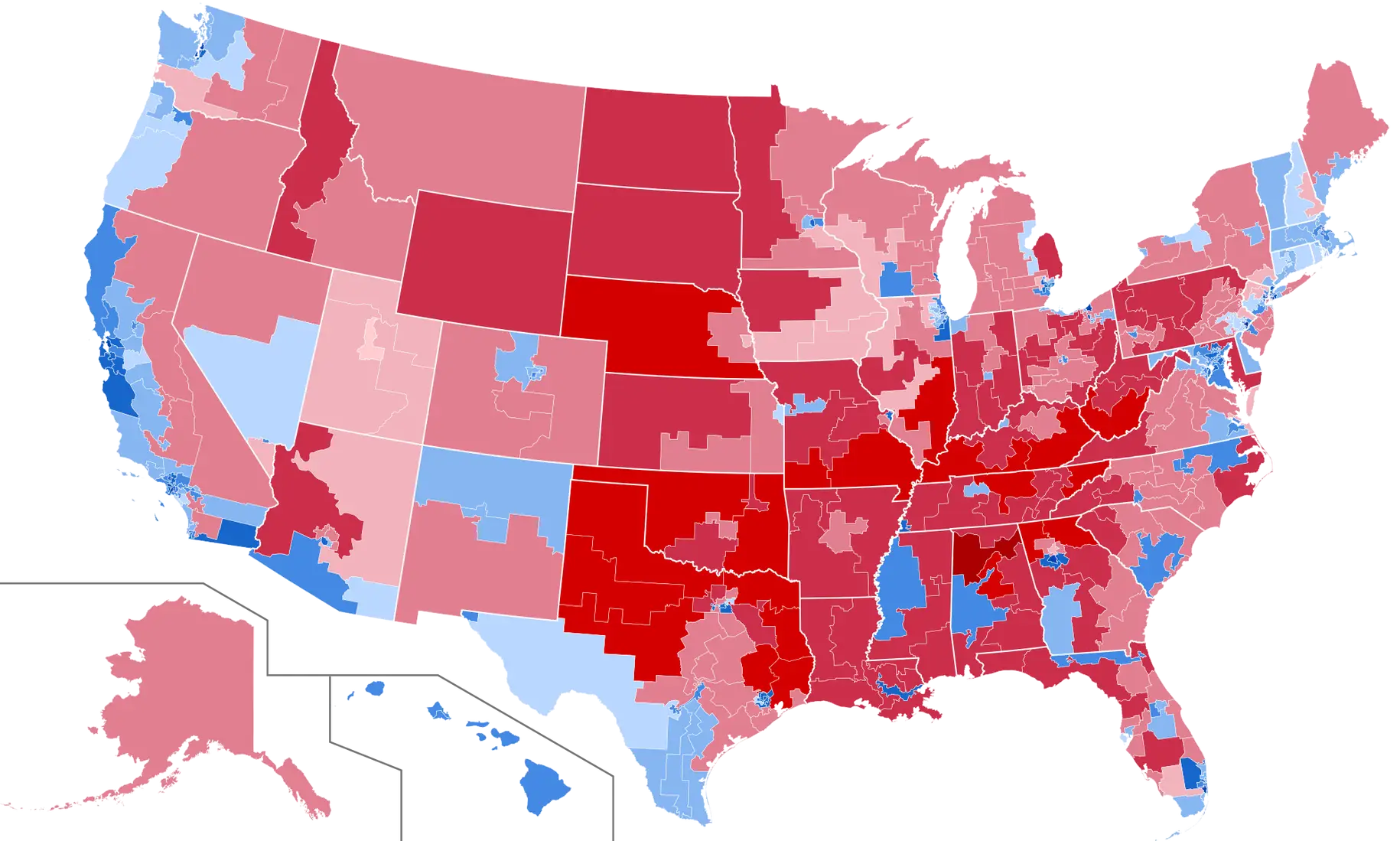
Color-Coded U.S. Election Results Map -
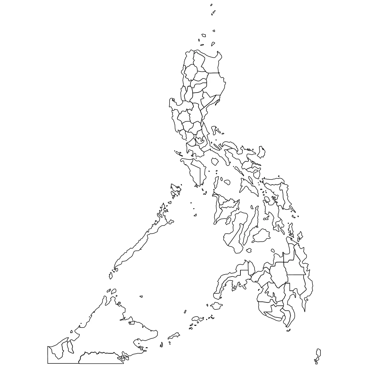
Outline Map of the Philippines -
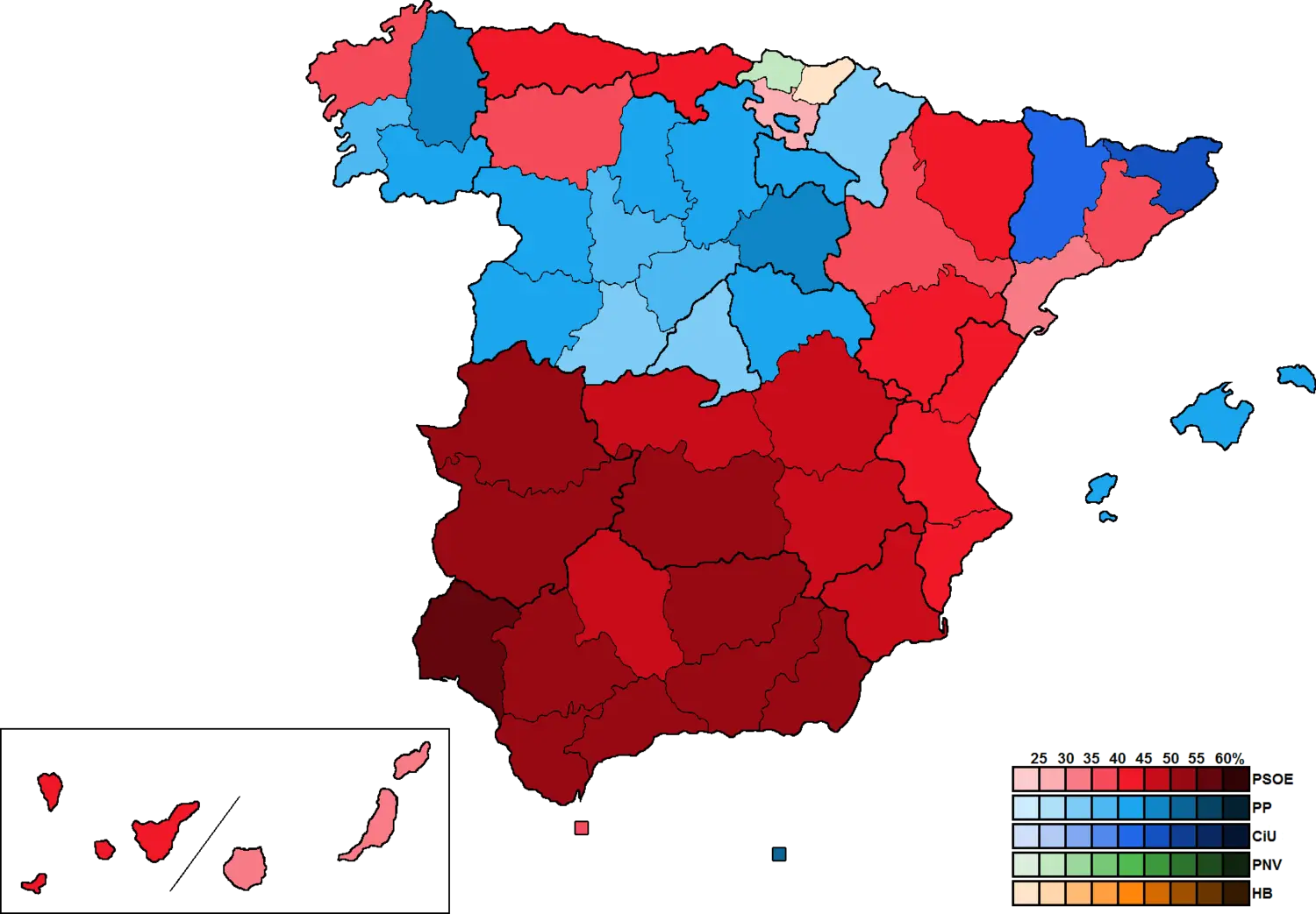
Colored Political Map of Spain -
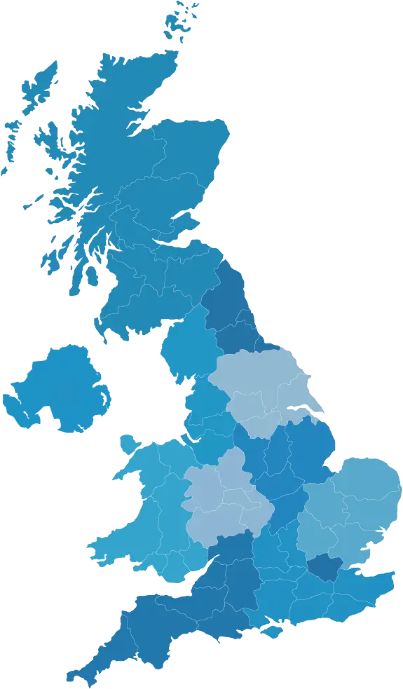
Colorful Map of the United Kingdom -
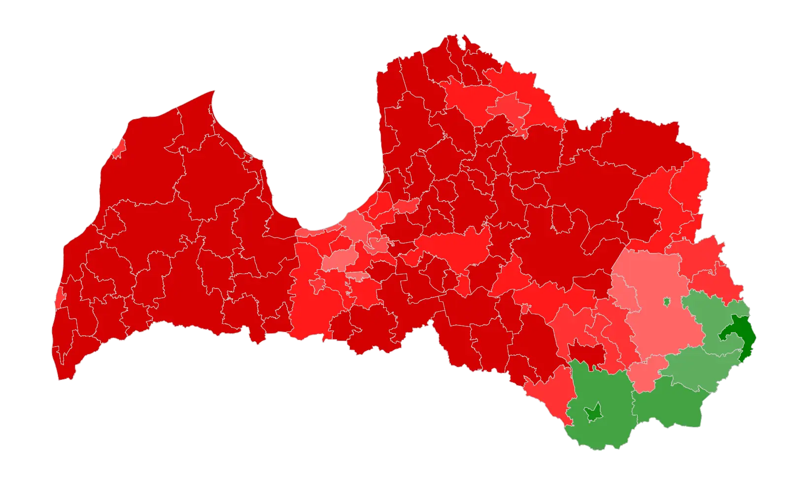
Political Map of Latvia with Regional Colors -

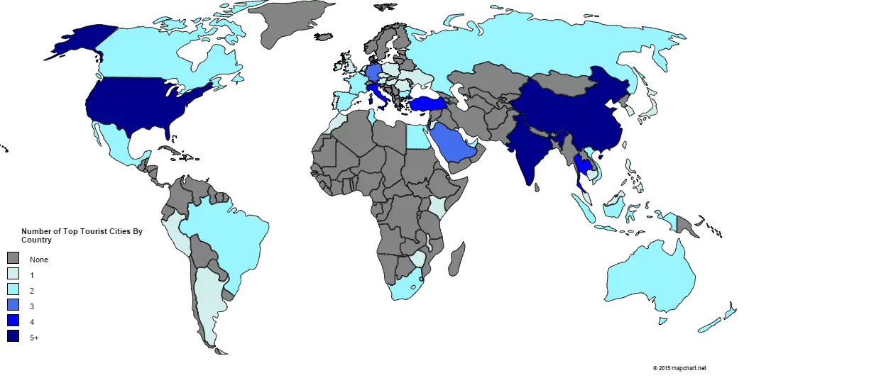
World Map with Country Flag Illustration -
World Map Illustration -
Blue Map of an Outline Region -
Map of Europe Illustration -
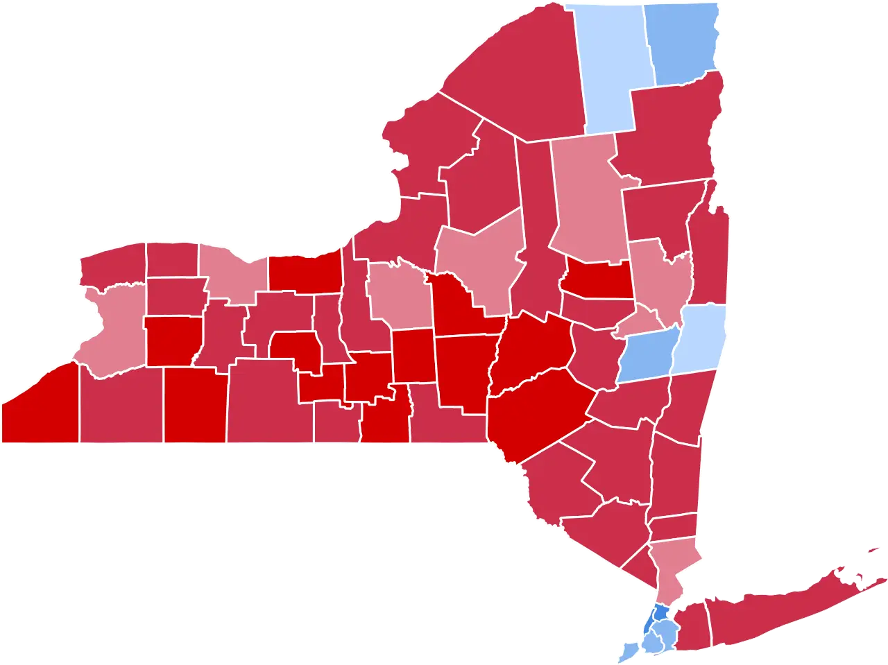
New York State Political Map Illustration -
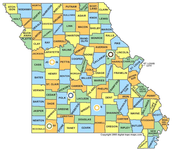
Missouri State Map with Counties -
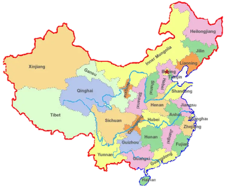
Detailed Map of China with Provinces -

Red and Blue Political Map of the United States