You Might Like
-
Green Leafy Frame -

Colored Regional Map of Africa -

Blue Globe with Continents Illustration -

Blue Globe Model for Geography Learning -

Map of the Soviet Union with Highlighted Regions -

Ornate Black Frame with Intricate Design -

Elegant Golden Ornate Frame -

Red Rose Floral Border Decoration -

Black Compass Rose for Navigation and Mapping -

Decorative Frame Border -

Complete Blue World Map -

New Zealand National Flag with Southern Cross -

Koala-Themed Frame Decoration -

Ladybug and Flowers Frame -

Black Region Silhouette Map -

3D Globe Illustration of Earth Model -

White Corner Design Element -

Green Land Map Outline -

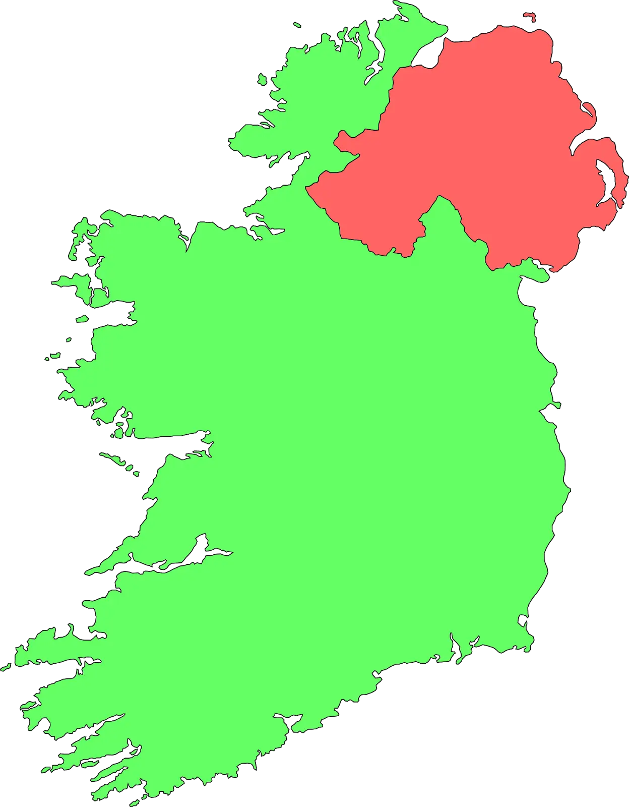
Map Highlighting Specific Regions -

Ornamental Decorative Floral Frame Design -

Map of Turkey with Major Cities and Regions -
Red Maze Border Pattern -
Green Decorative Photo Frame Illustration -
Ornamental Grapevine Corner Decor -

Soviet Emblem with Red and Yellow Design -

Transparent World Map Design -
Delicate Clover Leaf Frame for Decoration -

Campground Map for Outdoor Adventures -

Red Ribbon Banner Graphic -

Grunge Circle Frame