Free Geography Cliparts and Illustrations
Free 468 geography cliparts & illustrations for your personalized works, such as political map displaying regional sectors, orange map of a country, town councils of singapore map, soviet emblem with red and yellow design and many more.
-
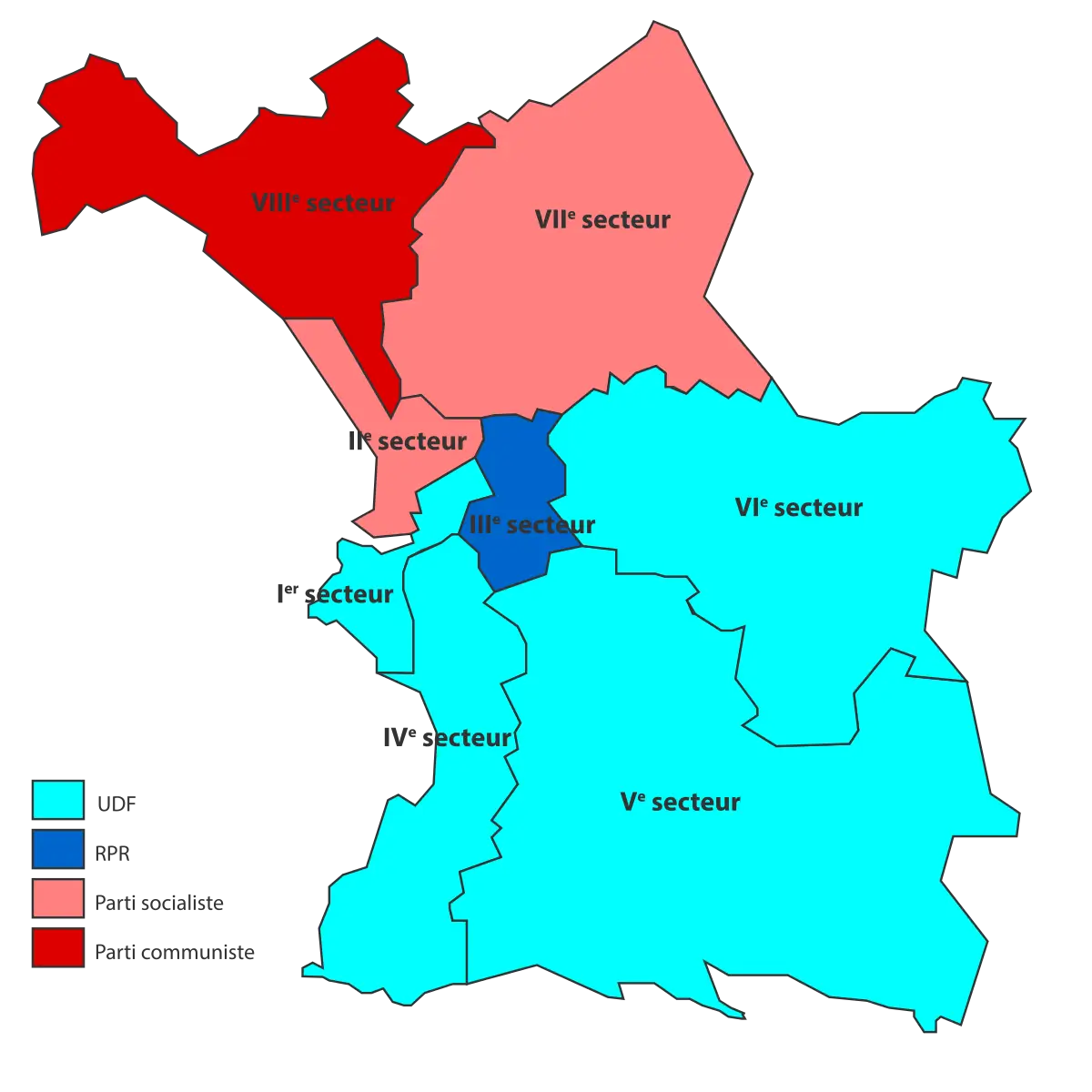
Political Map Displaying Regional Sectors -
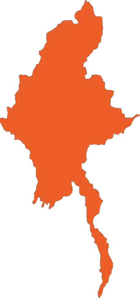
Orange Map of a Country -
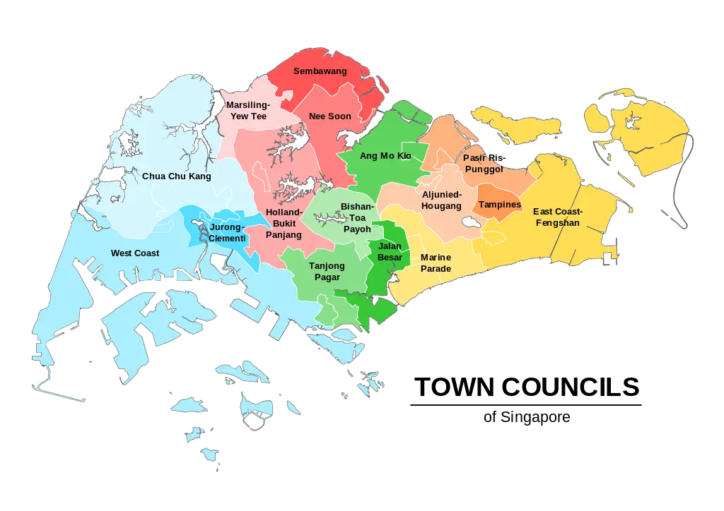
Town Councils of Singapore Map -

Soviet Emblem with Red and Yellow Design -

Blue Map of Germany with Regions -
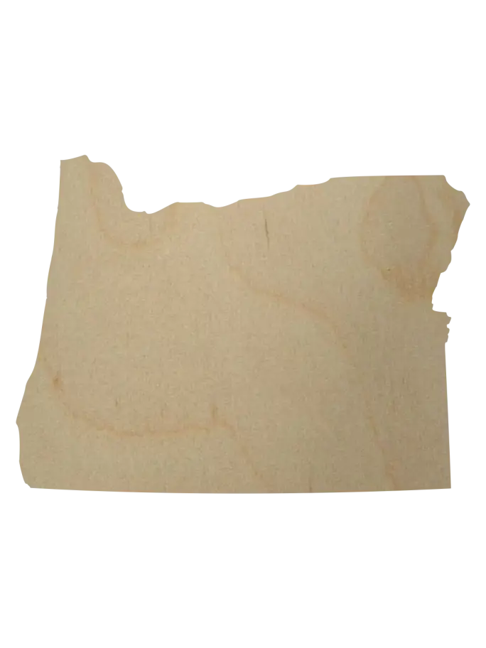
Wooden Oregon Map Cutout -
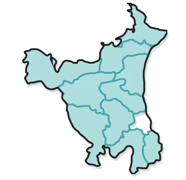
Map of Haryana State -

Blue Texas Map Silhouette -
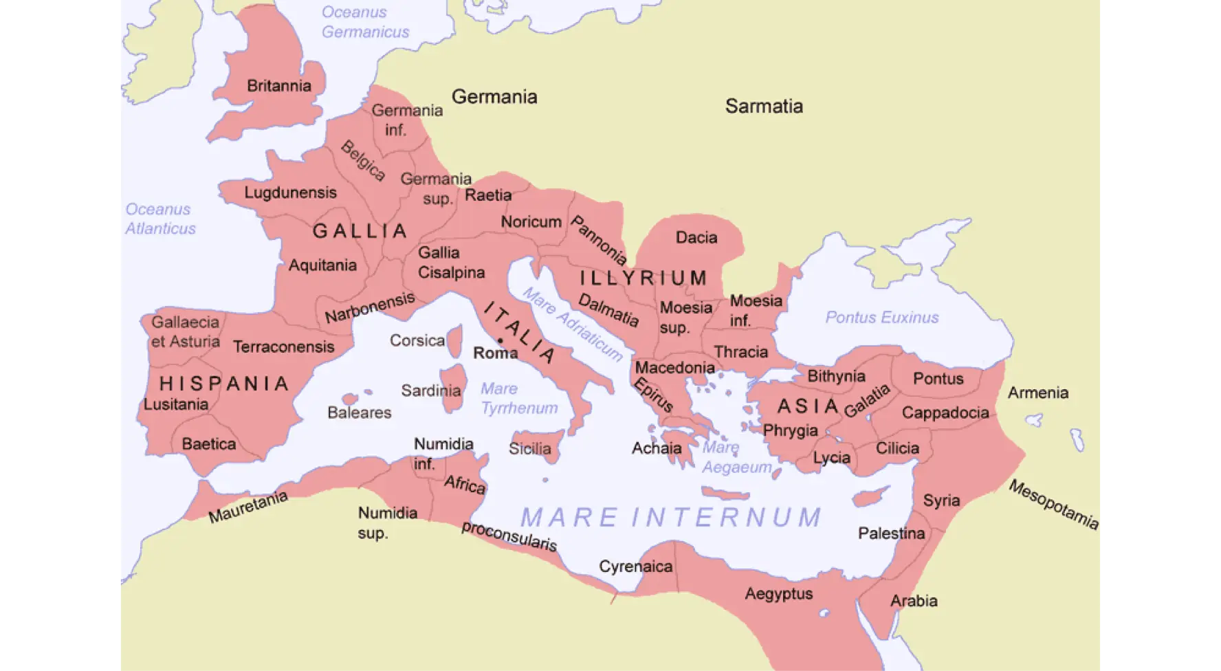
Map of the Roman Empire -

Light Blue Outline Map of California -
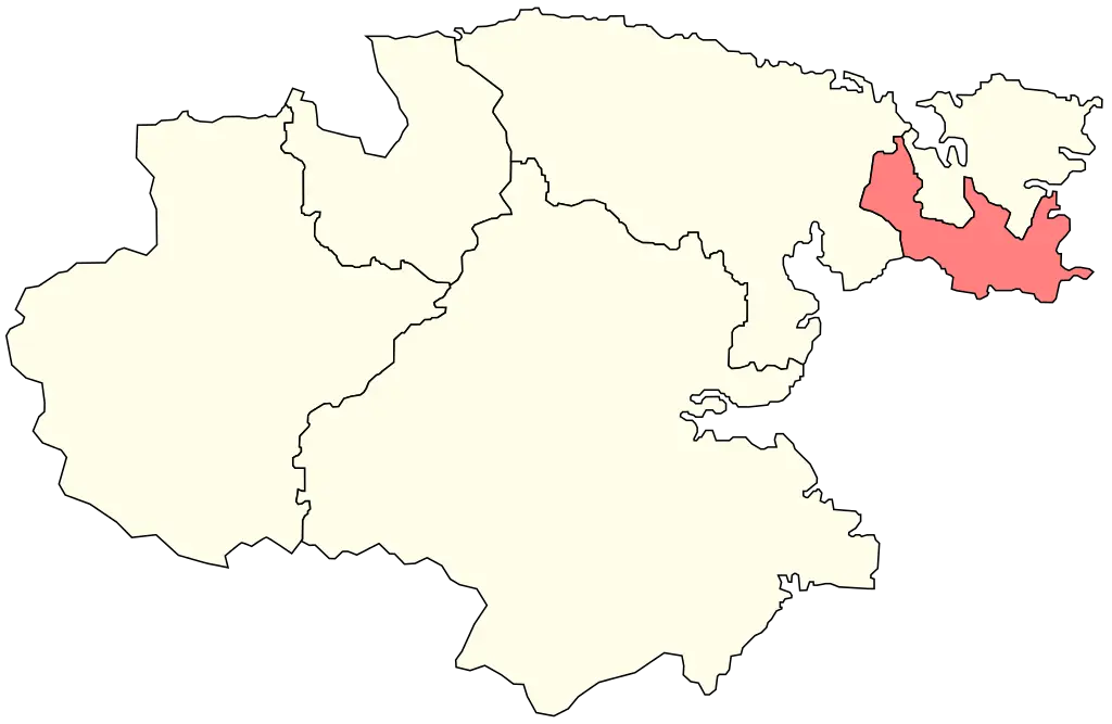
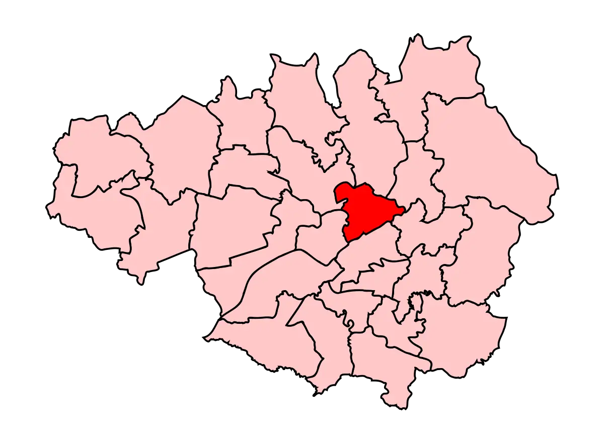
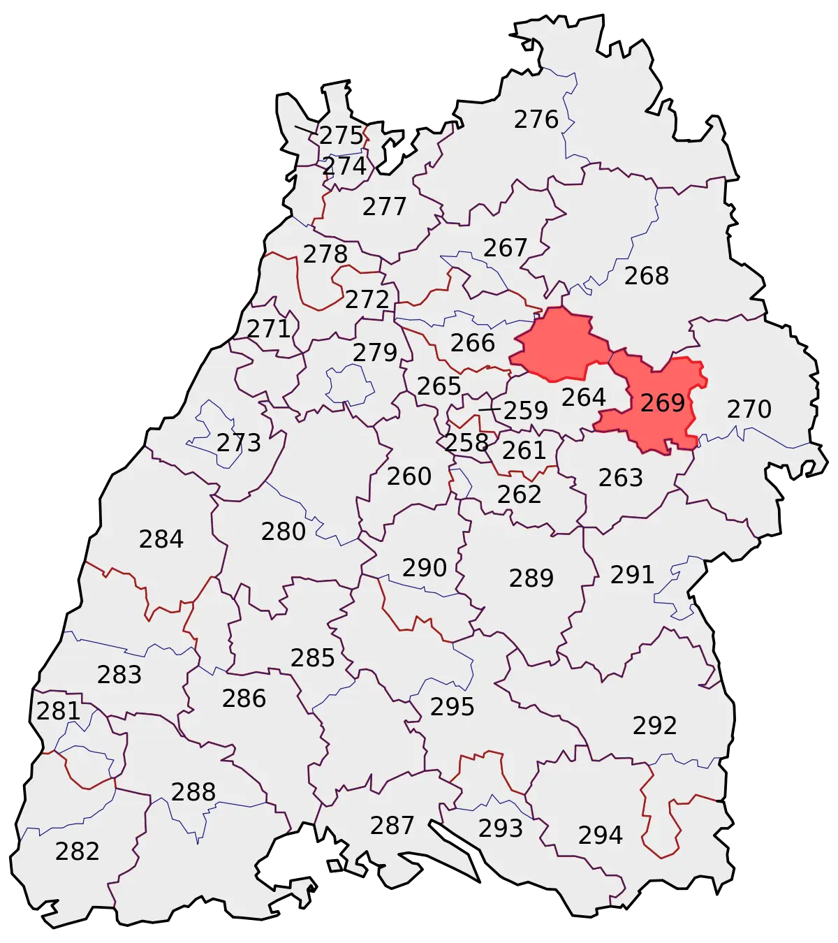
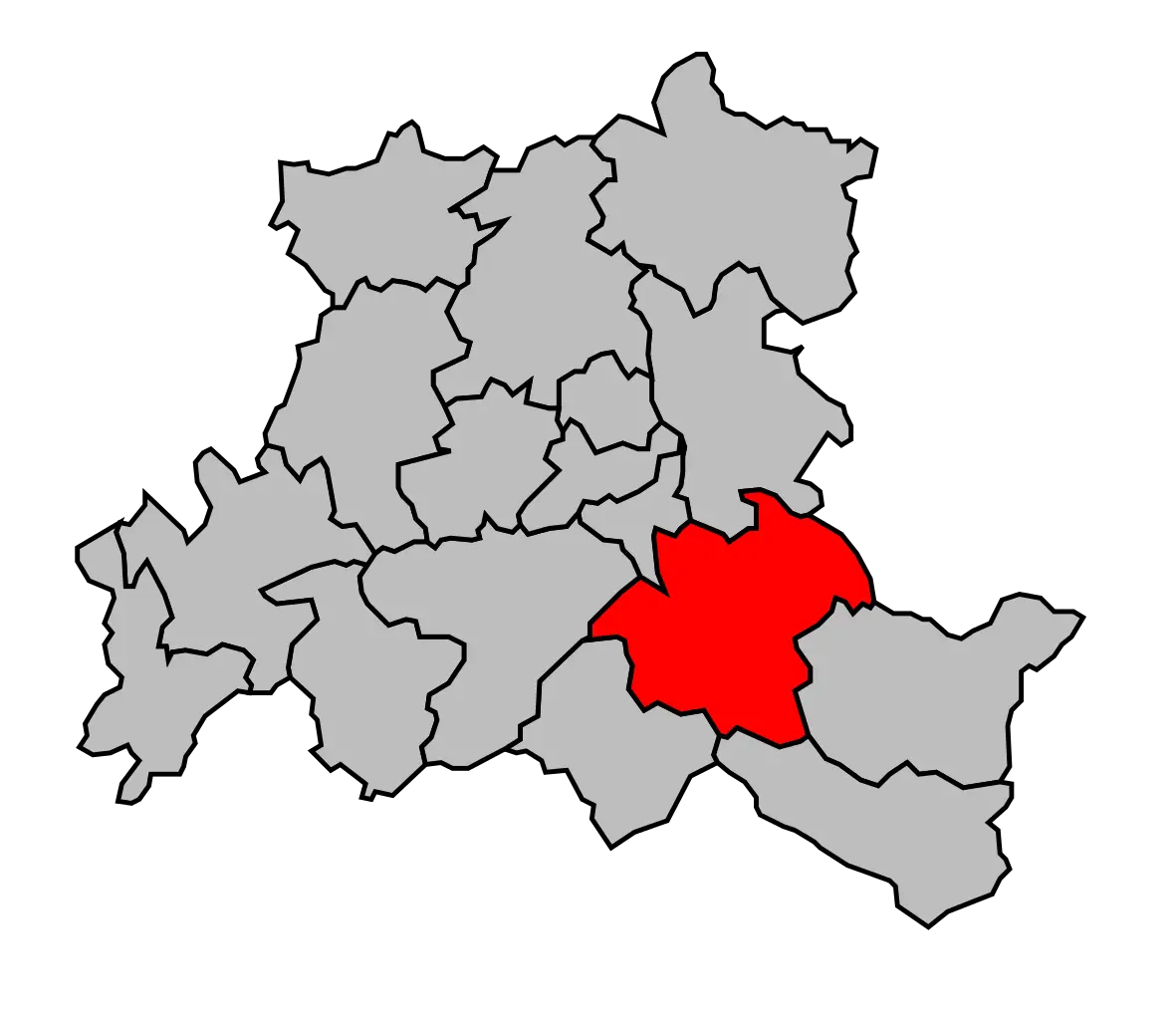
Map with Highlighted Region -
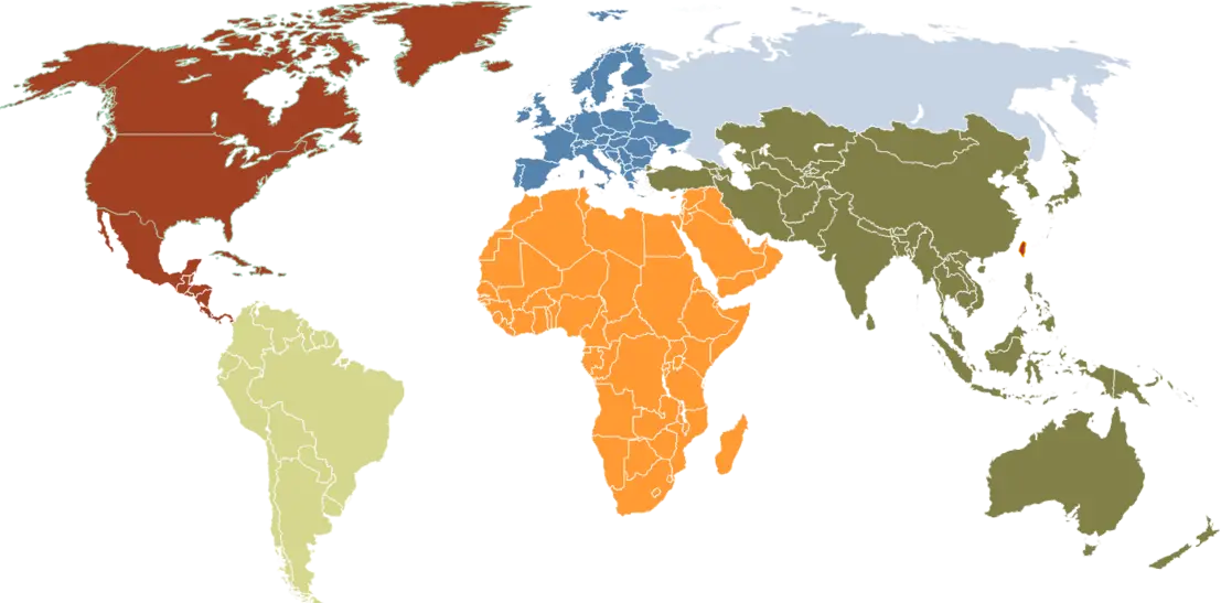
World Map with Colored Regions -
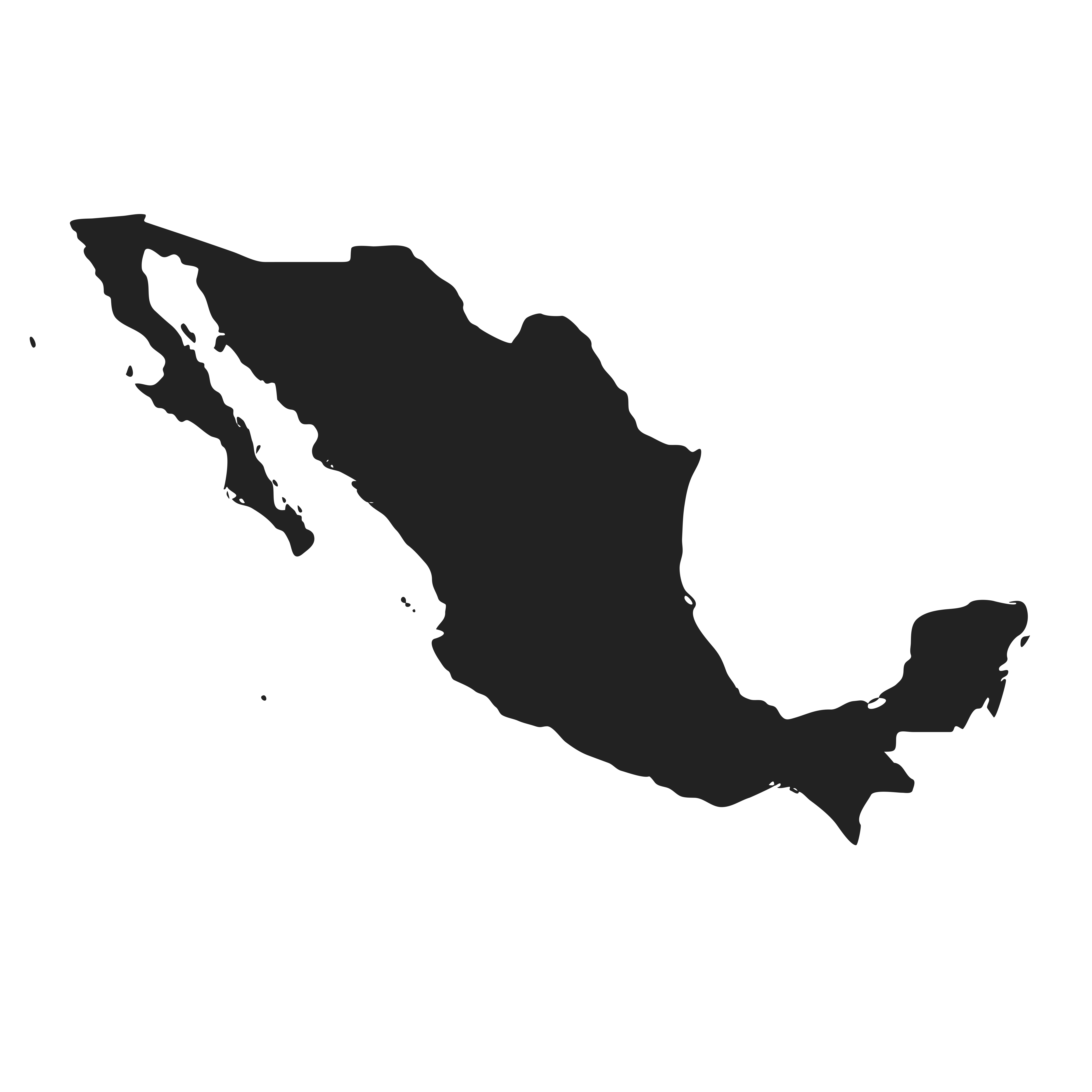
Silhouette of Mexico Map -

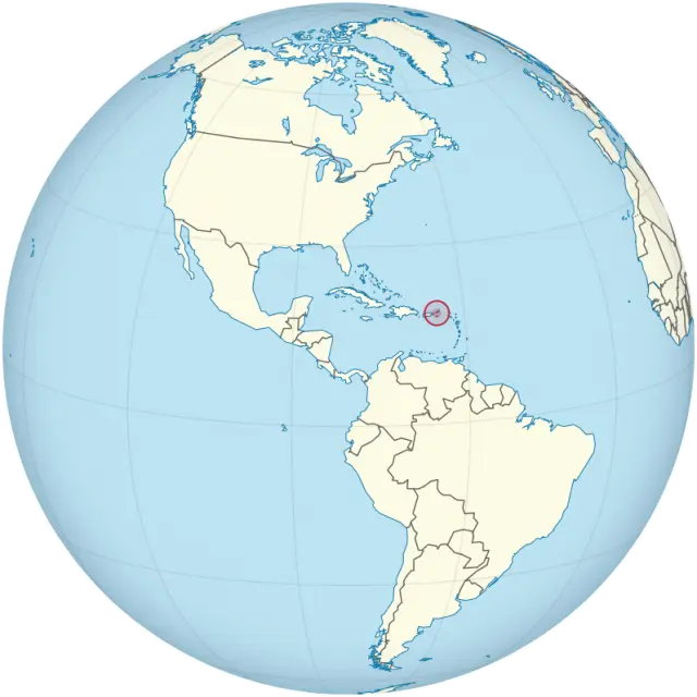
Blue Globe Illustration Showing continents -
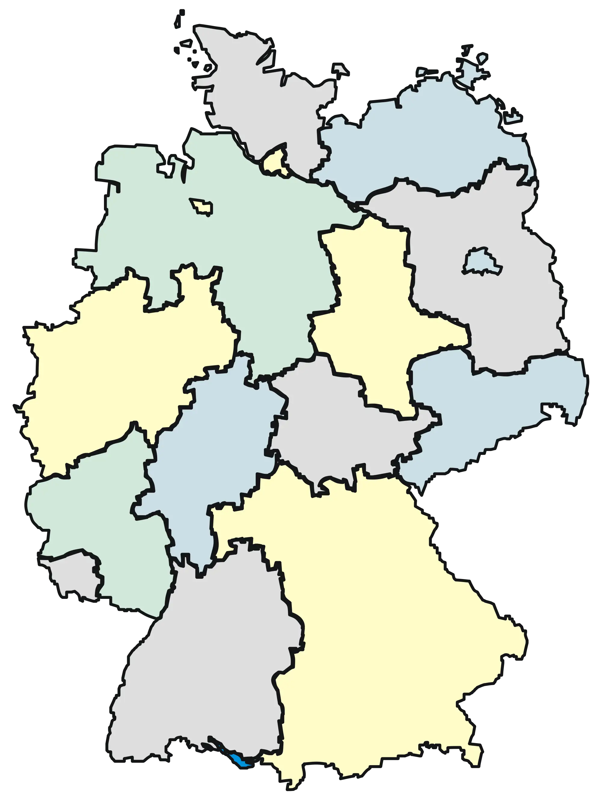
Illustrated Map of Germany with Regions -
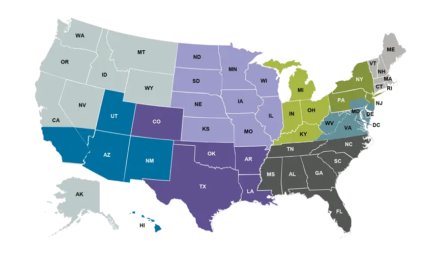
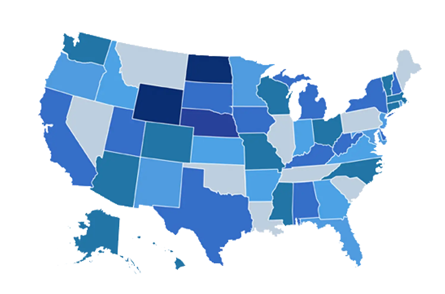
Colorful Map of USA Showing States by Regions -
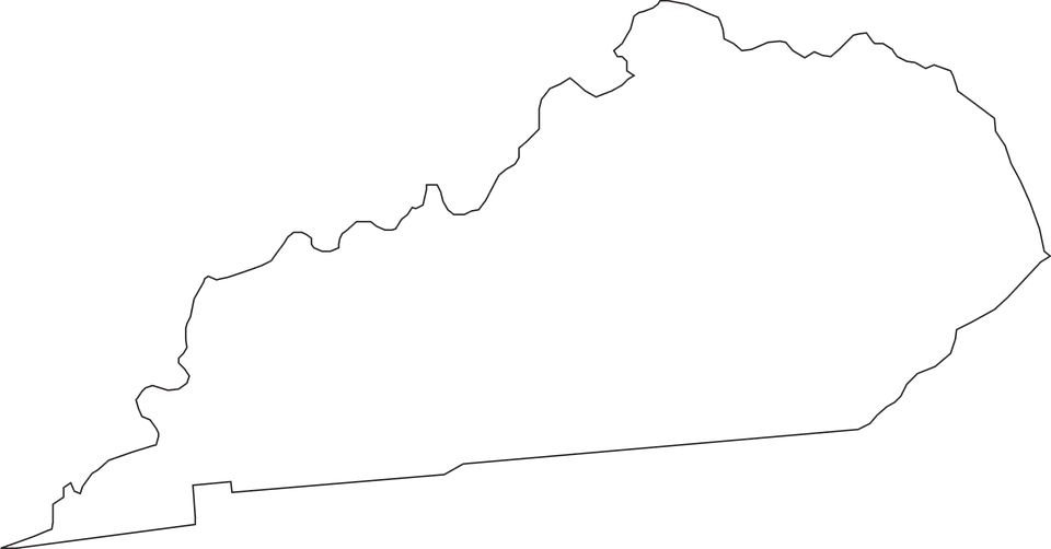
Outline Map of Kentucky -
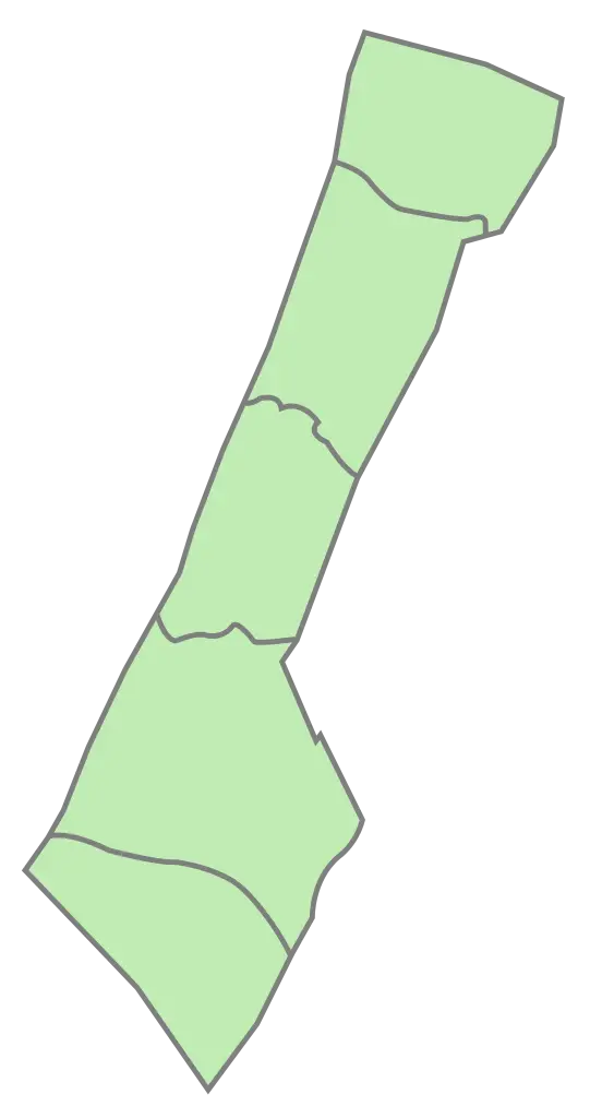
Green Map Outline -

Blue Globe with Continents Illustration -

Blue Globe Model for Geography Learning -

Black Region Silhouette Map -

3D Globe Illustration of Earth Model -

Green Land Map Outline -

Transparent World Map Design -

Map Outline of Slovenia -

Gray Map Silhouette on Transparent Background -
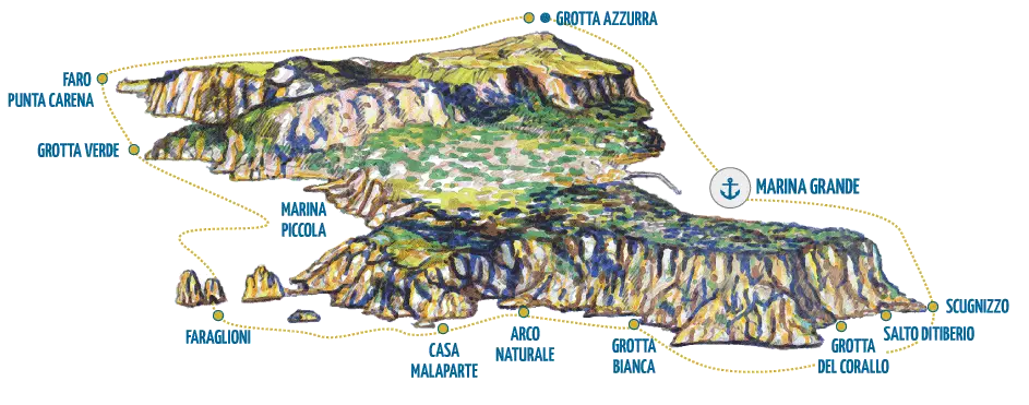
Illustrated Map of Capri Island -
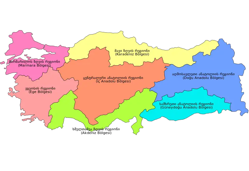
Colorful Regional Map of Turkey -
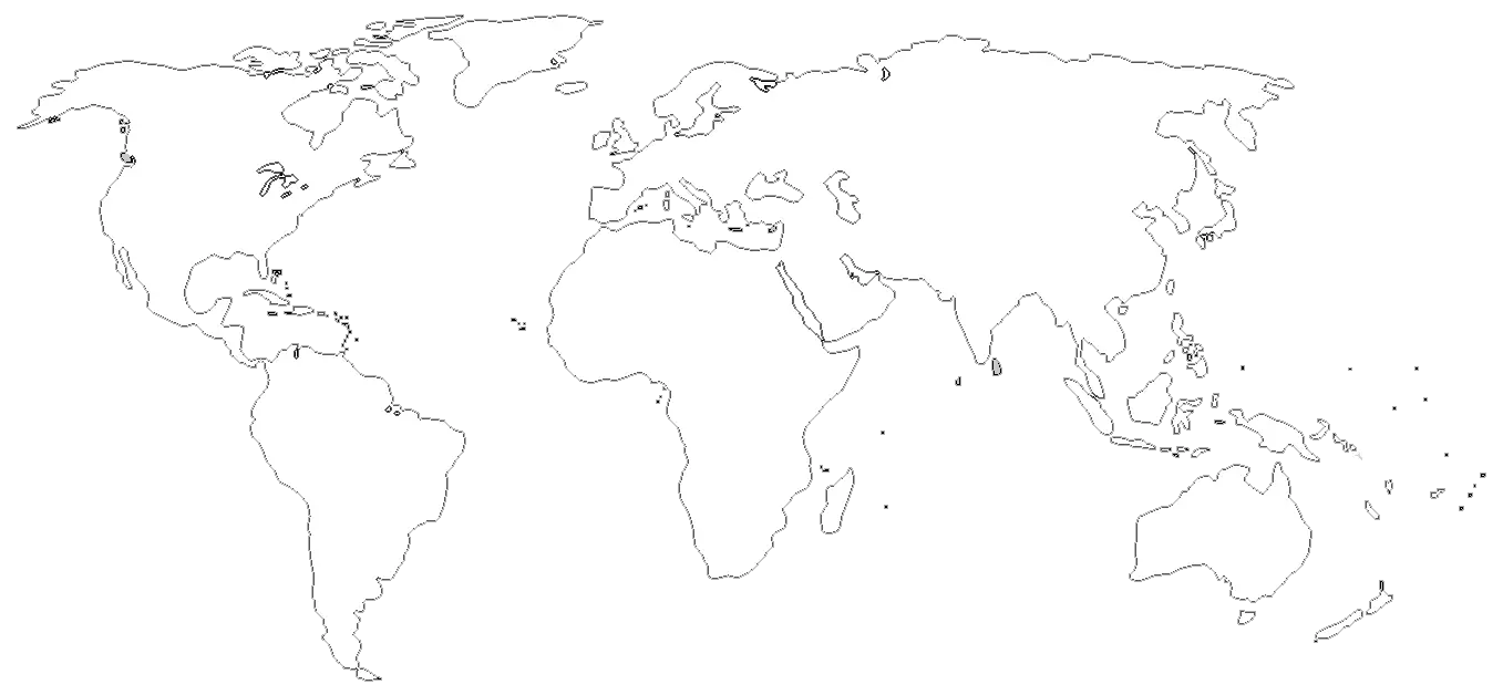
World Map Outline for Education and Mapping -
3D Globe Illustration of Earth -
Map with Highlighted Region in Red -

Cambodia Country Map Outline with Provincial Divisions -

Germany Map with Flag Colors -
Blue World Map Illustration -
Geographic Region Map with Highlighted Area -
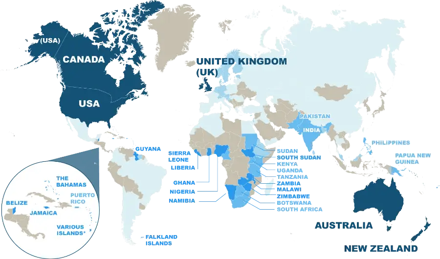
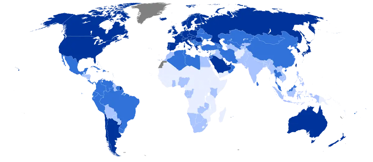
World Map Highlighting English-Speaking Countries -
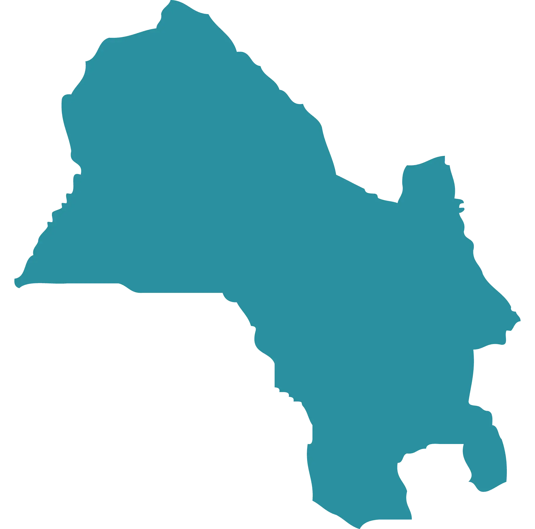
Blue Map Silhouette of a Region -
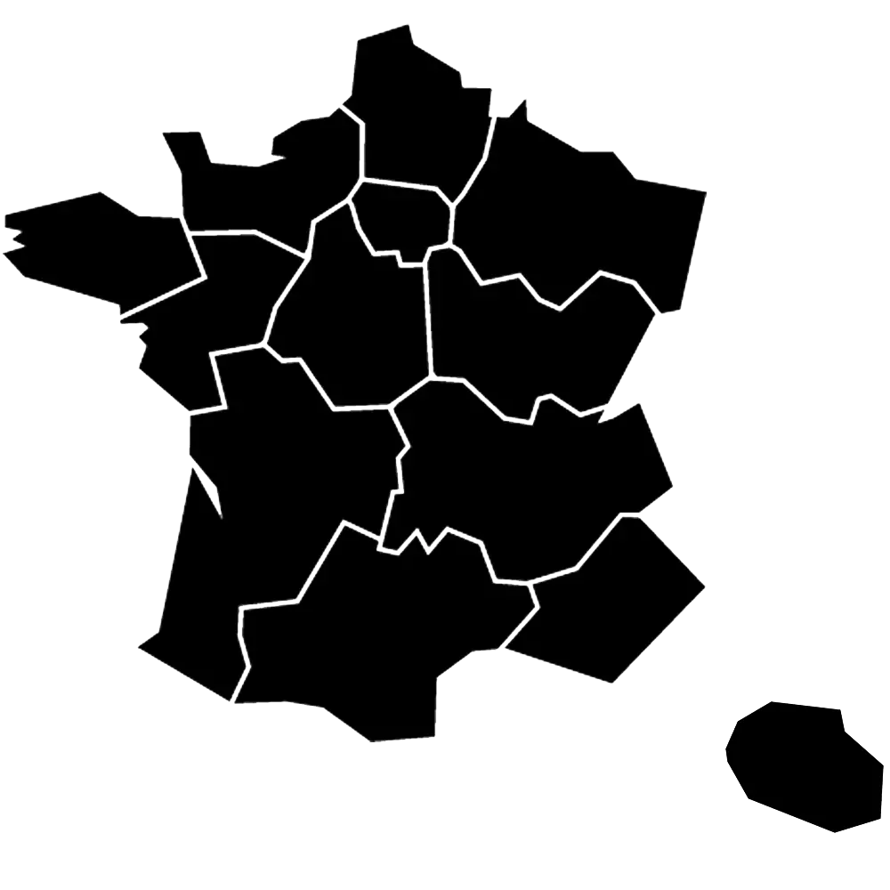
Map of France with Regions -
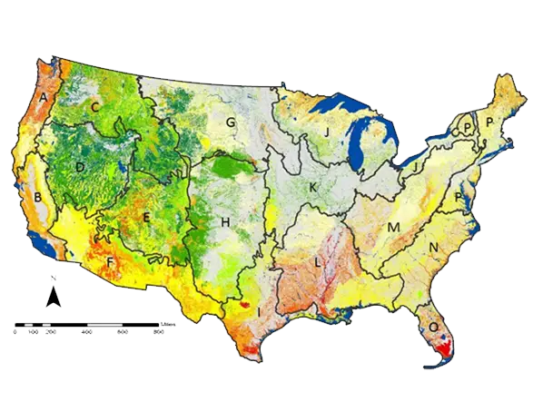
Map of USA with Geographical Details -
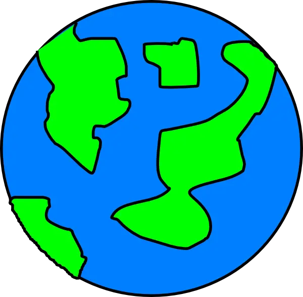
Cartoon Earth Illustration for Planet Education -
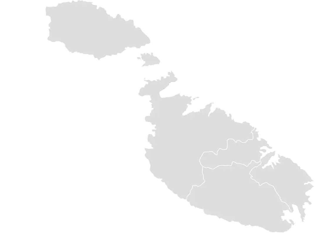
Map of Malta -
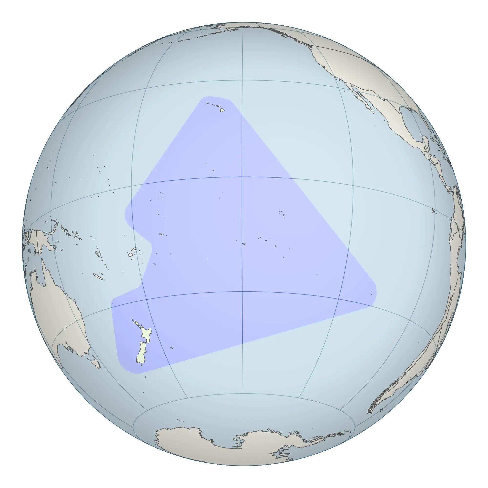
Globe Highlighting Pacific Region -
World Globe Map Depicting Continents and Countries -
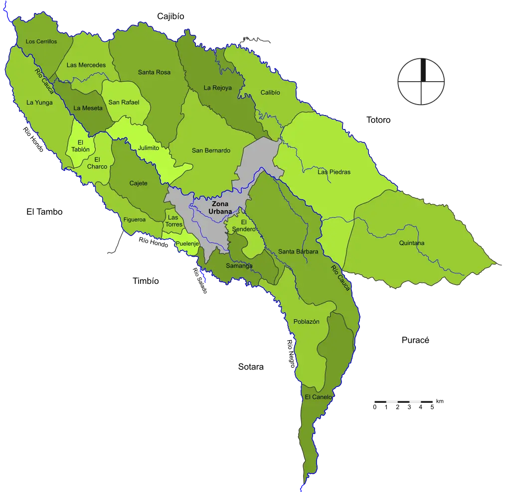
Geographical Map of Regions -
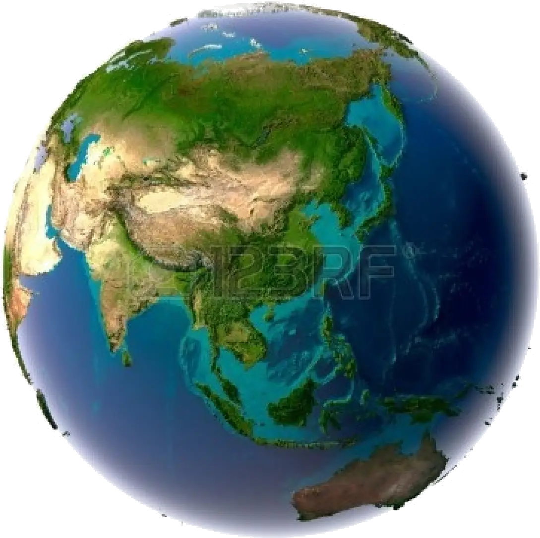
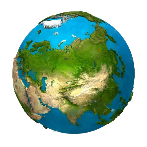
Detailed Illustration of Earth Globe Focused on Asia -
Map with a highlighted red region -
Blue Map of United States with States Highlighted -
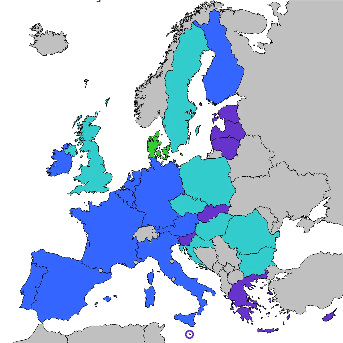
Map of Europe with Country Highlights -
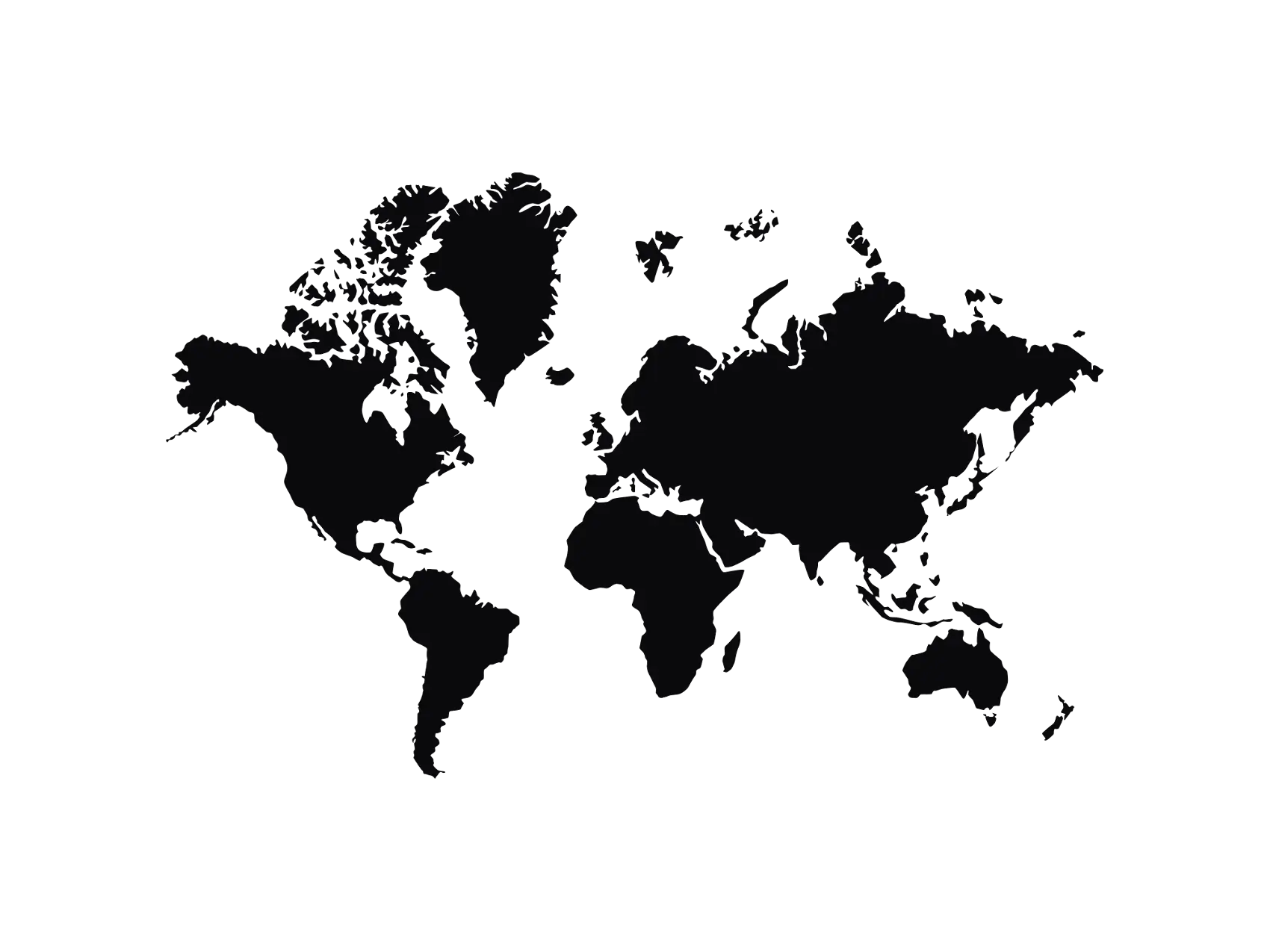
World Map Silhouette for Geographical Representation -
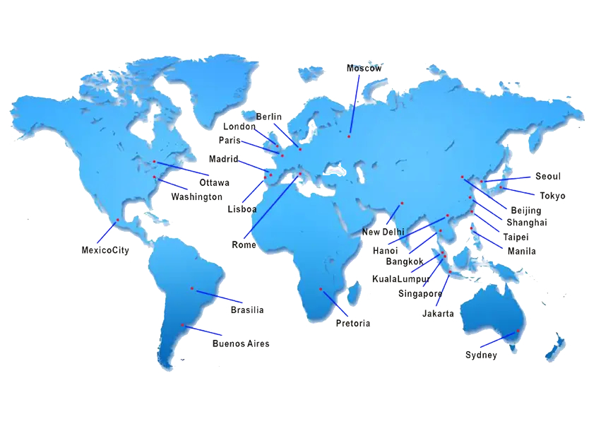
Labeled World Map with Key Cities