You Might Like
-
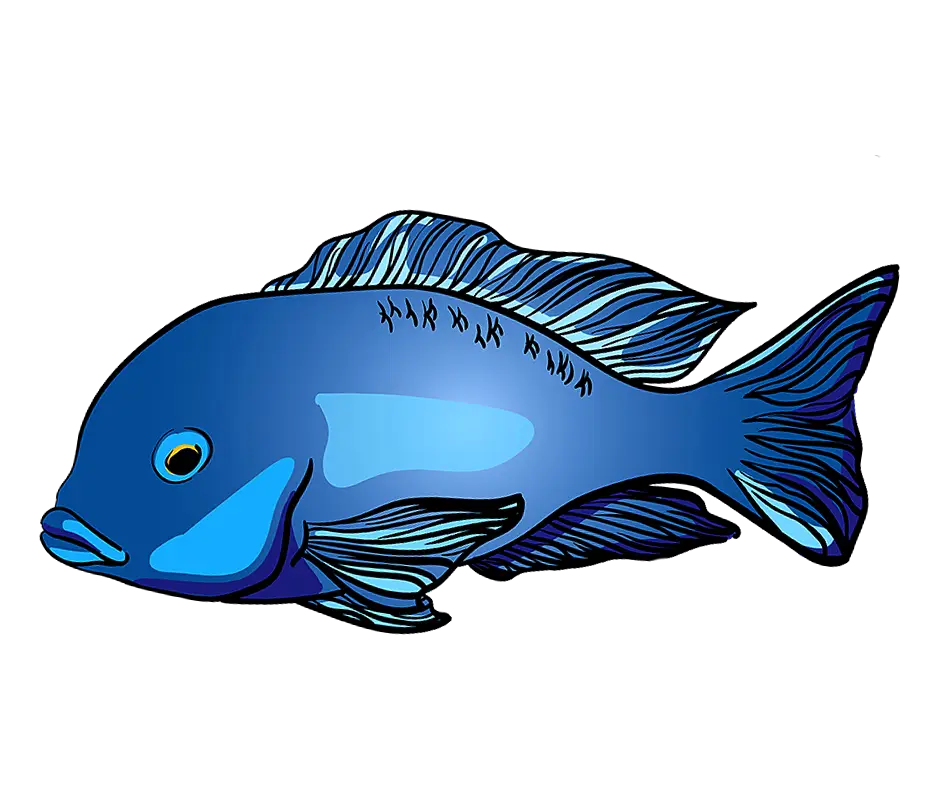
Blue Fish Graphic Illustration -

Colored Regional Map of Africa -
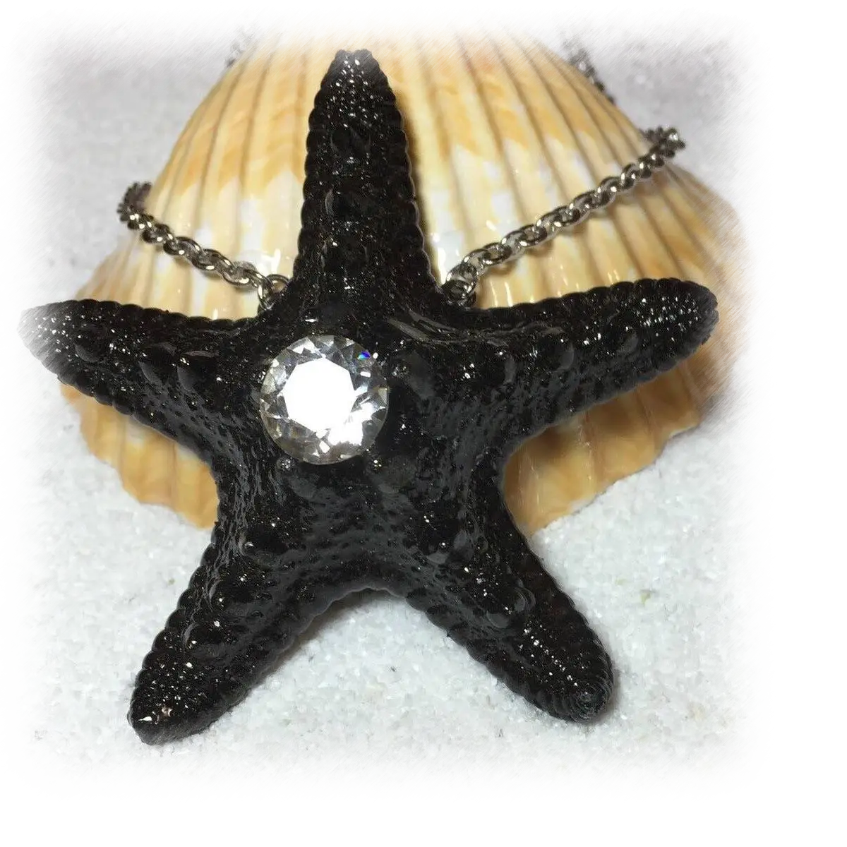
Black Starfish Necklace with Gem -

Black Wave Symbol -
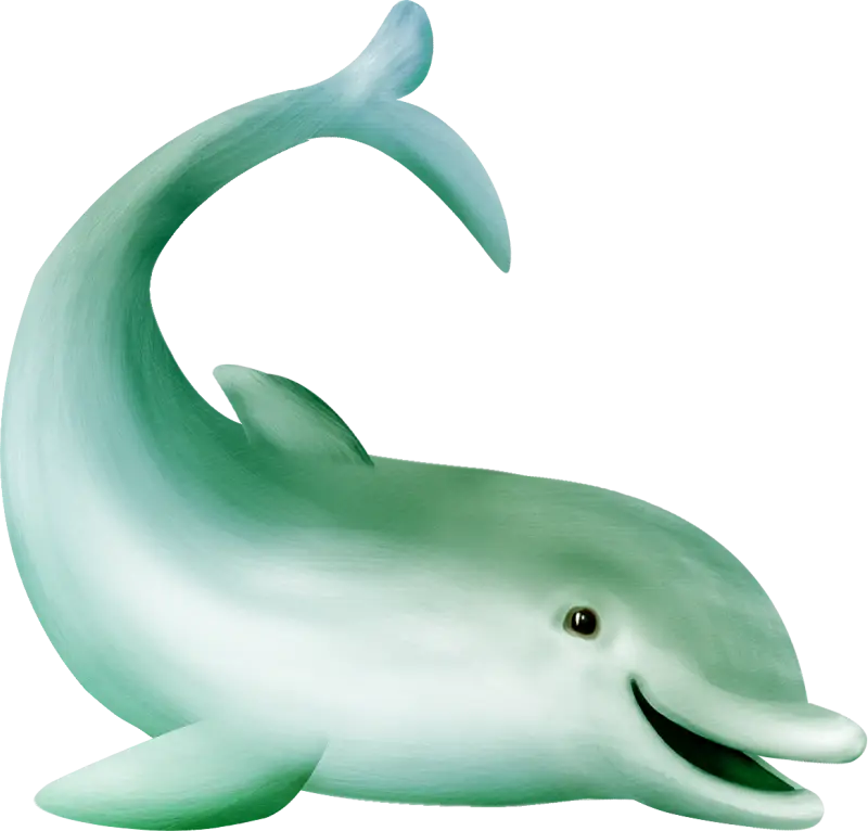
Cute Cartoon Dolphin Illustration -

Minimalistic Sea and Sky Logo -

Surfer Silhouette -
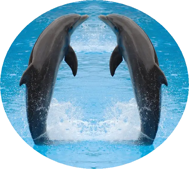
Playful Dolphins Jumping in Water -
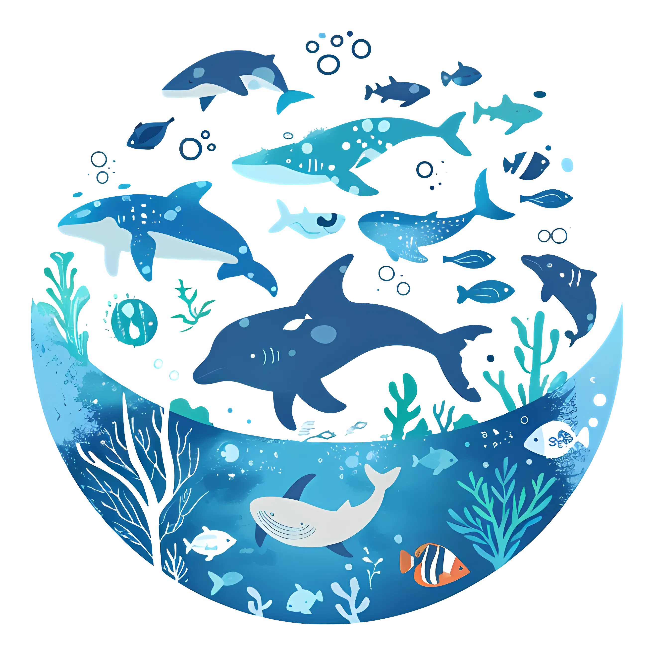
Vivid Marine Life in Underwater Illustration -

Blue Globe with Continents Illustration -

Blue Globe Model for Geography Learning -

Map of the Soviet Union with Highlighted Regions -

Man Paddleboarding Cartoon Illustration -

Black Compass Rose for Navigation and Mapping -

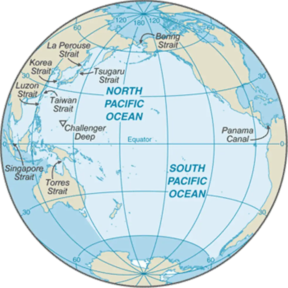
Complete Blue World Map -
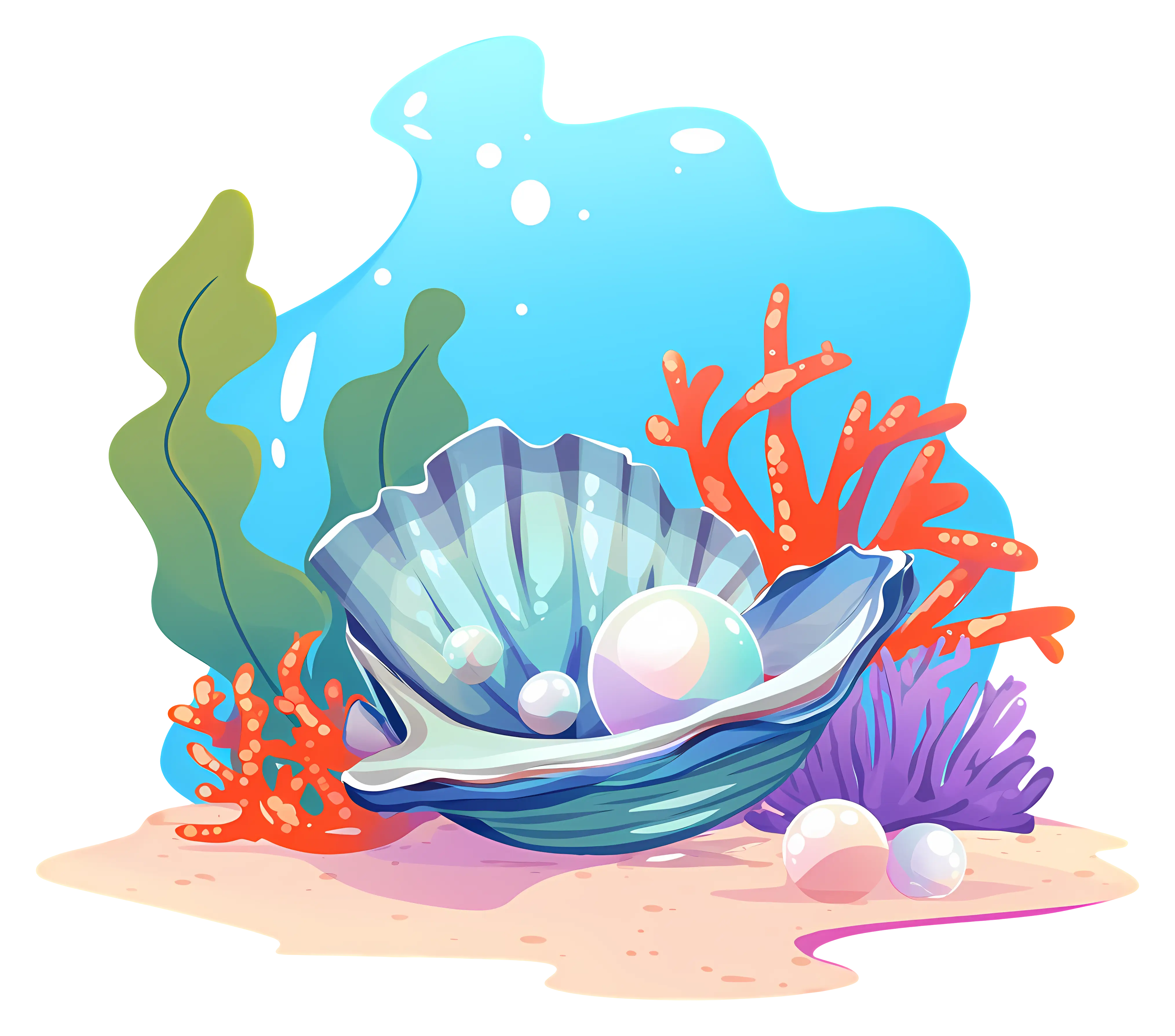
Underwater Pearl in Seashell Illustration -

Black Region Silhouette Map -
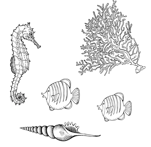
Illustration of Sea Creatures -

3D Globe Illustration of Earth Model -

Green Land Map Outline -

Map Highlighting Specific Regions -
Transparent Jellyfish Illustration -

Map of Turkey with Major Cities and Regions -
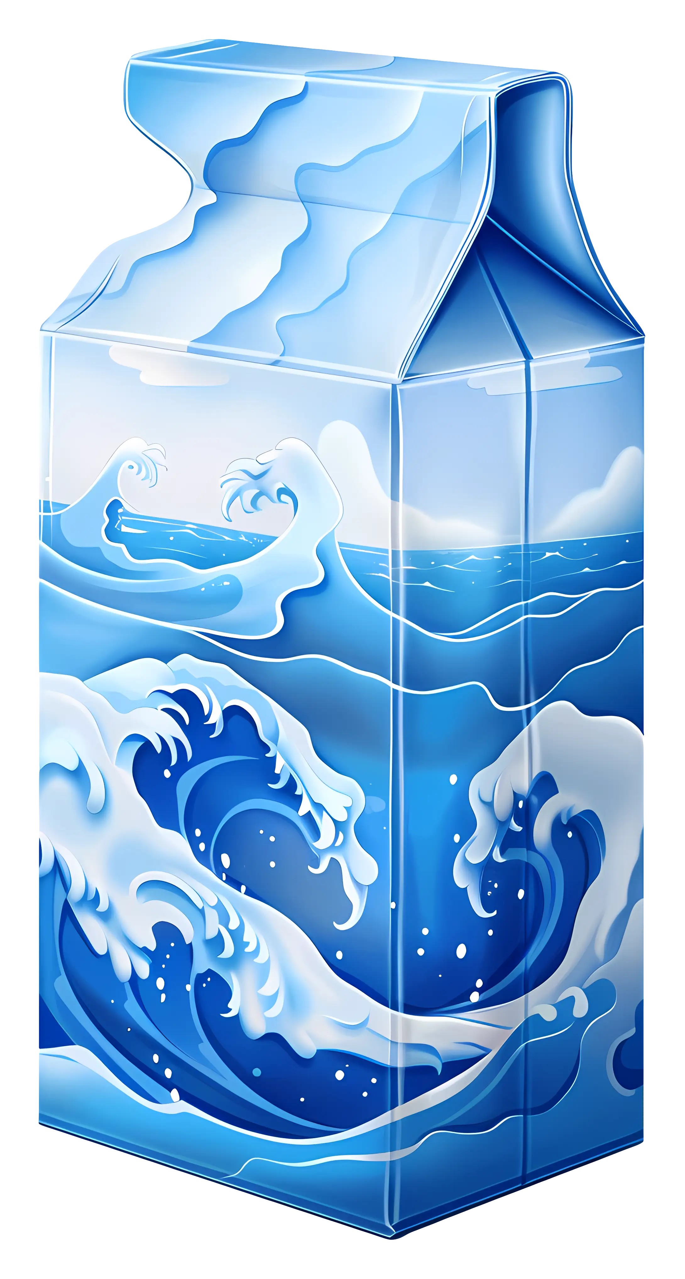
Ocean Waves on Milk Carton -
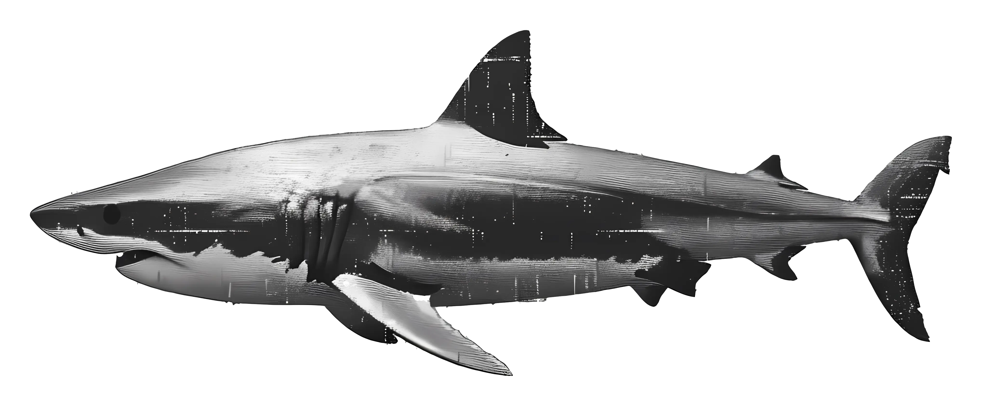
Realistic Shark Illustration -

Soviet Emblem with Red and Yellow Design -

Transparent World Map Design -
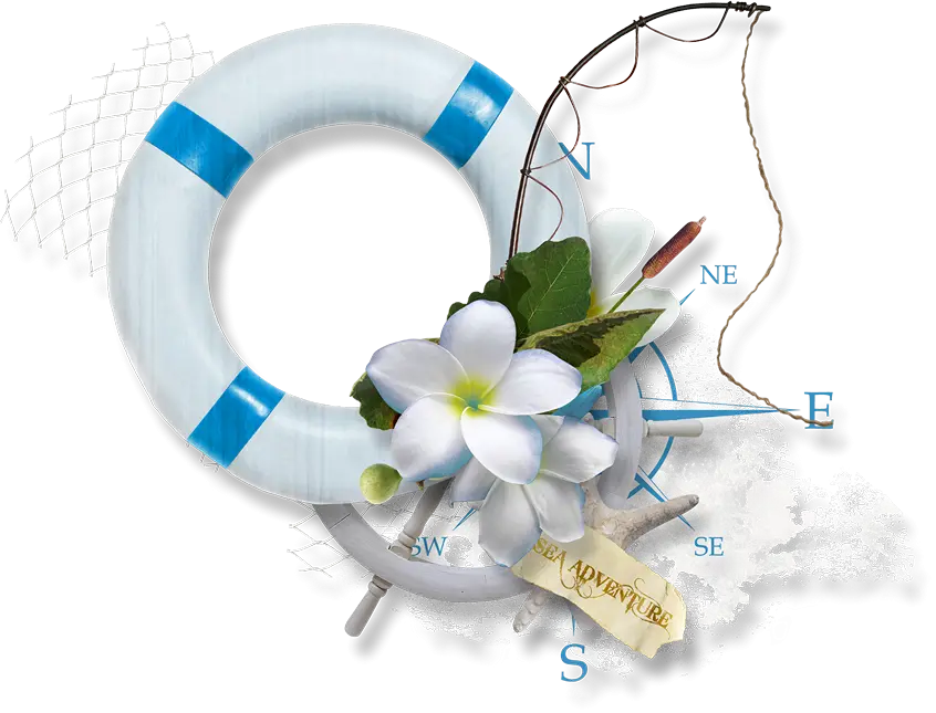
Nautical Decor with Lifebuoy and Flowers -

Campground Map for Outdoor Adventures -
Colorful Fish Illustration