You Might Like
-

Colored Regional Map of Africa -

Black Compass Rose for Navigation and Mapping -

Cartoon Romans with Scroll -

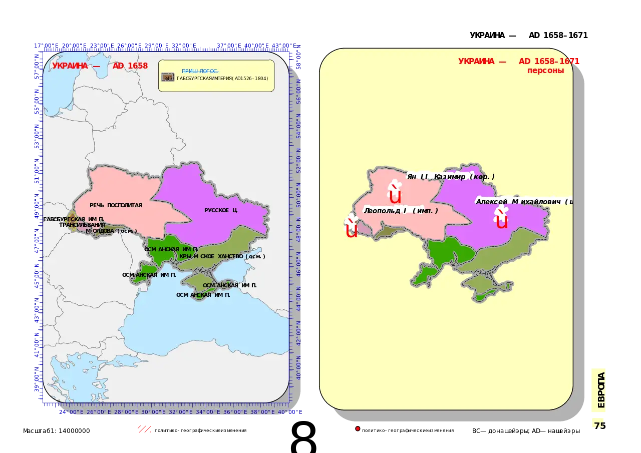
Map Highlighting Specific Regions -

Campground Map for Outdoor Adventures -

Simple Navigation Map -

Portuguese Shield with Crown -

Map of Russia with Red, White, and Blue Flag Colors -

Red Globe Pin Illustration -

Vintage Parchment Scroll Illustration -

Map of Vietnam -

Gray Map Silhouette on Transparent Background -
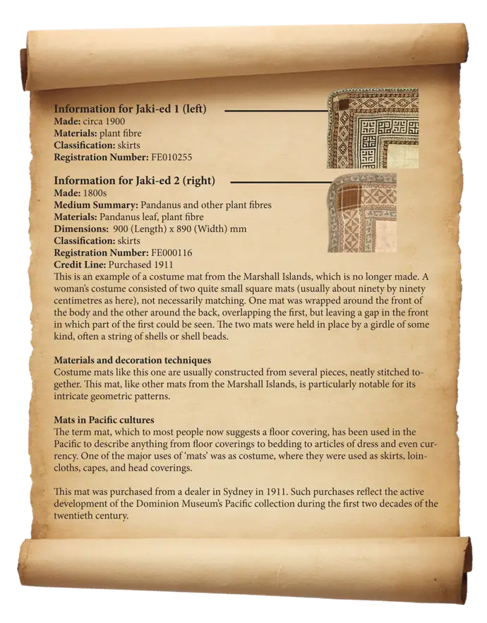
Antique Scroll with Information -

Video Game Dungeon Map Layout -

Blue Map of Germany with Regions -
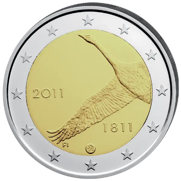
Euro Coin with Bird Design -

Vintage Postcard with Stamp -

Classic Compass Rose Navigation Symbol -
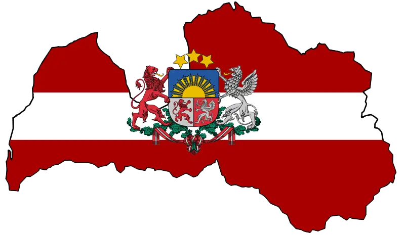
Latvian Map with Country Flag Integration -
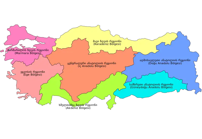
Colorful Regional Map of Turkey -

Map of Denmark with Rainbow Colors -
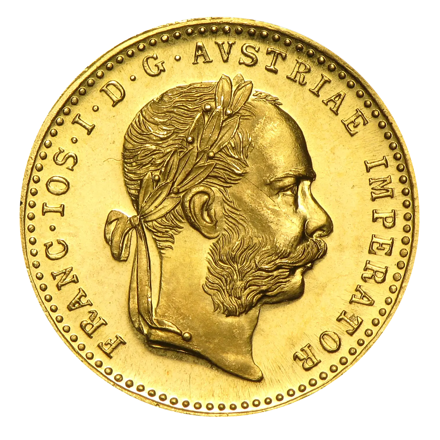
Austrian Gold Coin -
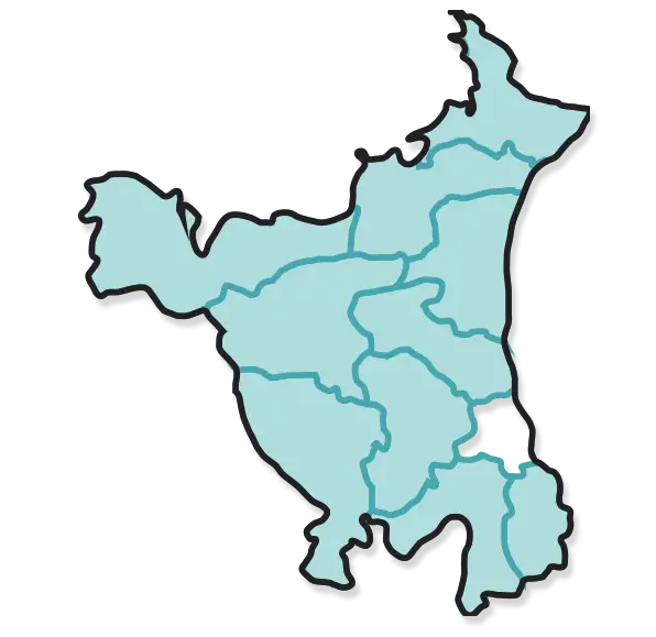
Map of Haryana State -
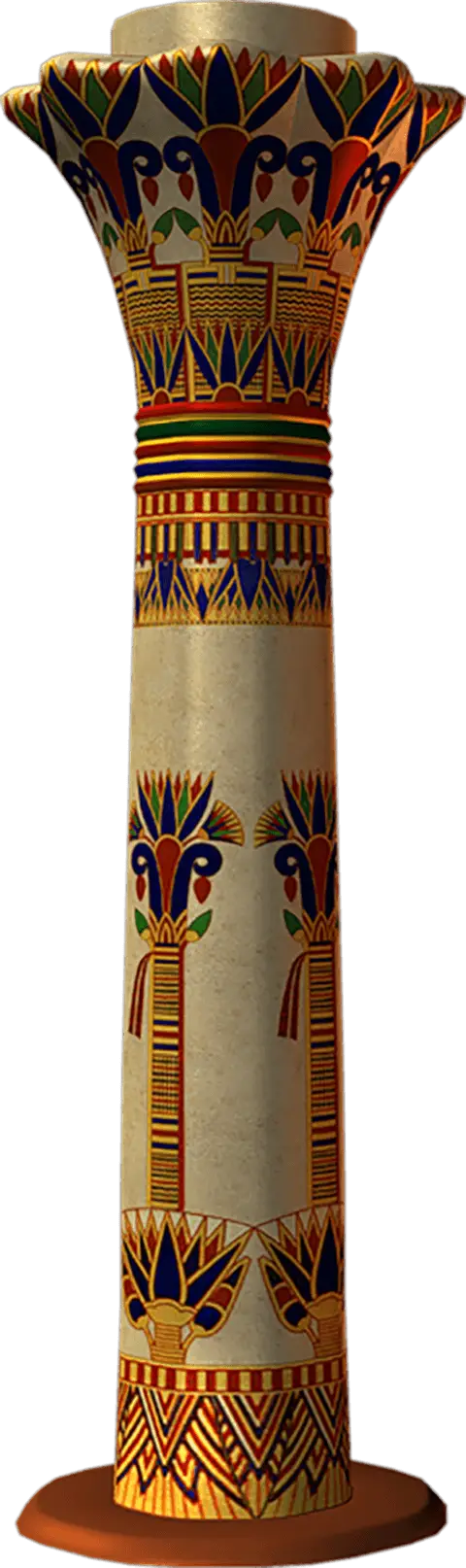
Ancient Egyptian Decorative Column -

ANZAC Appeal Logo -

Blue Texas Map Silhouette -
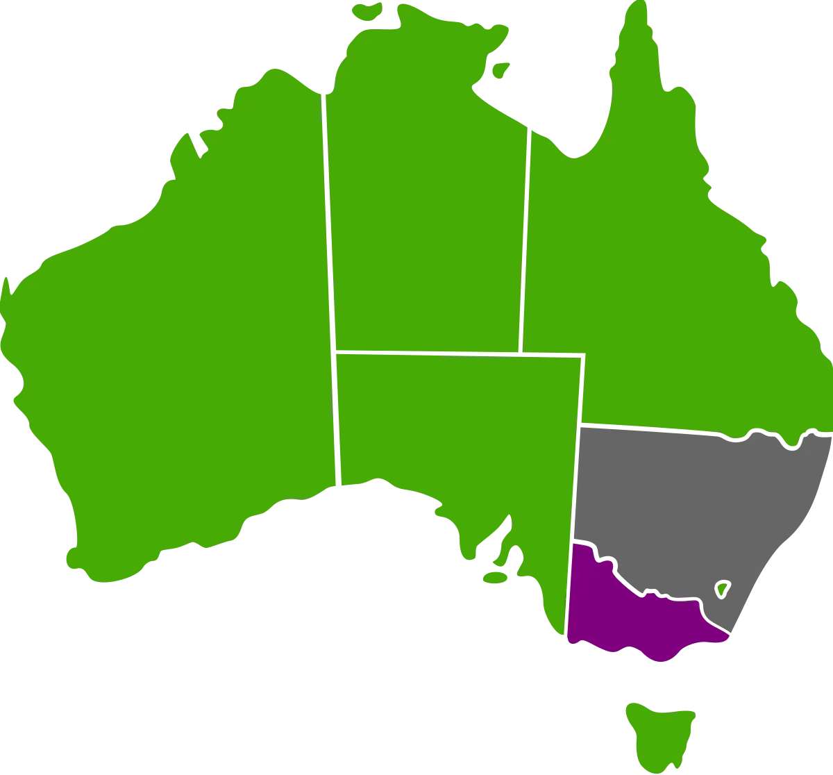
Australian Map with Regional Color Variations -
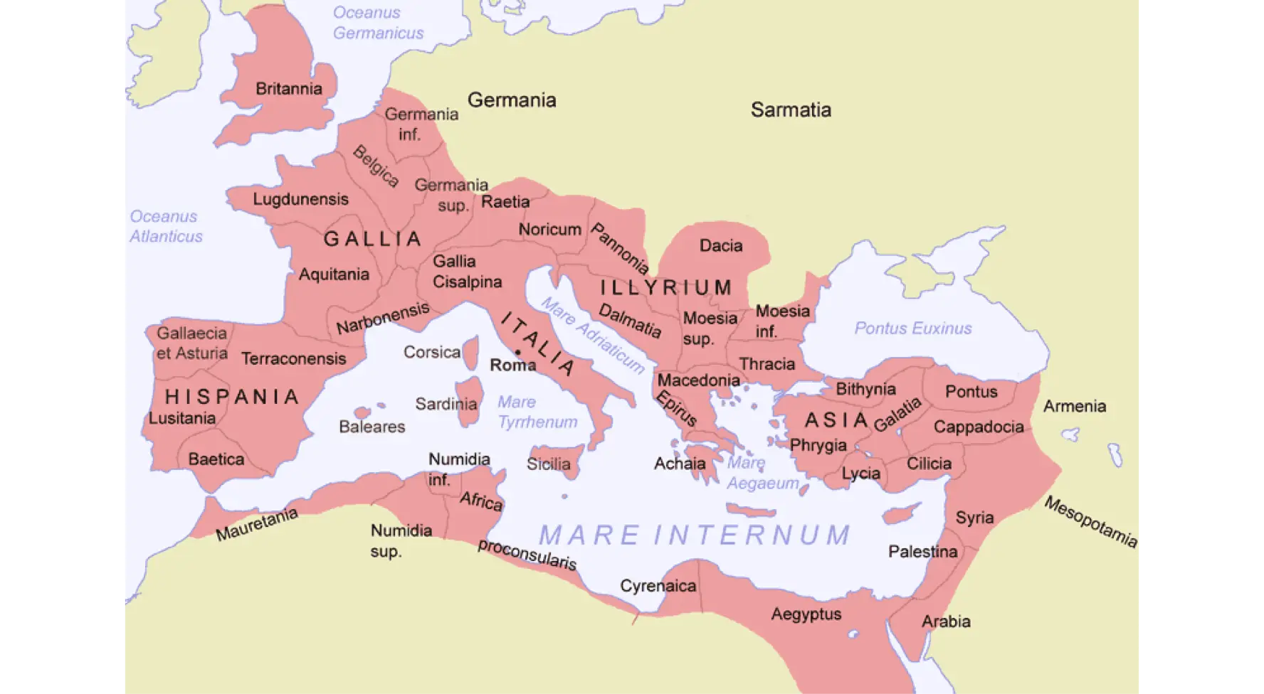
Map of the Roman Empire -

Vintage Pilot Artwork with Aviation Gear -
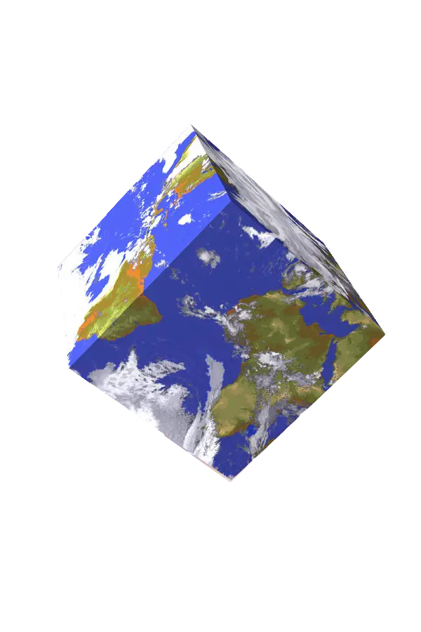
3D Earth Cube Model