You Might Like
-

Colored Regional Map of Africa -

Blue Globe with Continents Illustration -

Blue Globe Model for Geography Learning -

Map of the Soviet Union with Highlighted Regions -

Black Compass Rose for Navigation and Mapping -

Complete Blue World Map -
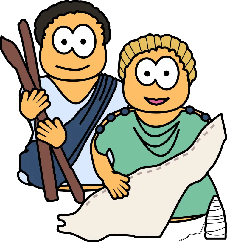
Cartoon Romans with Scroll -
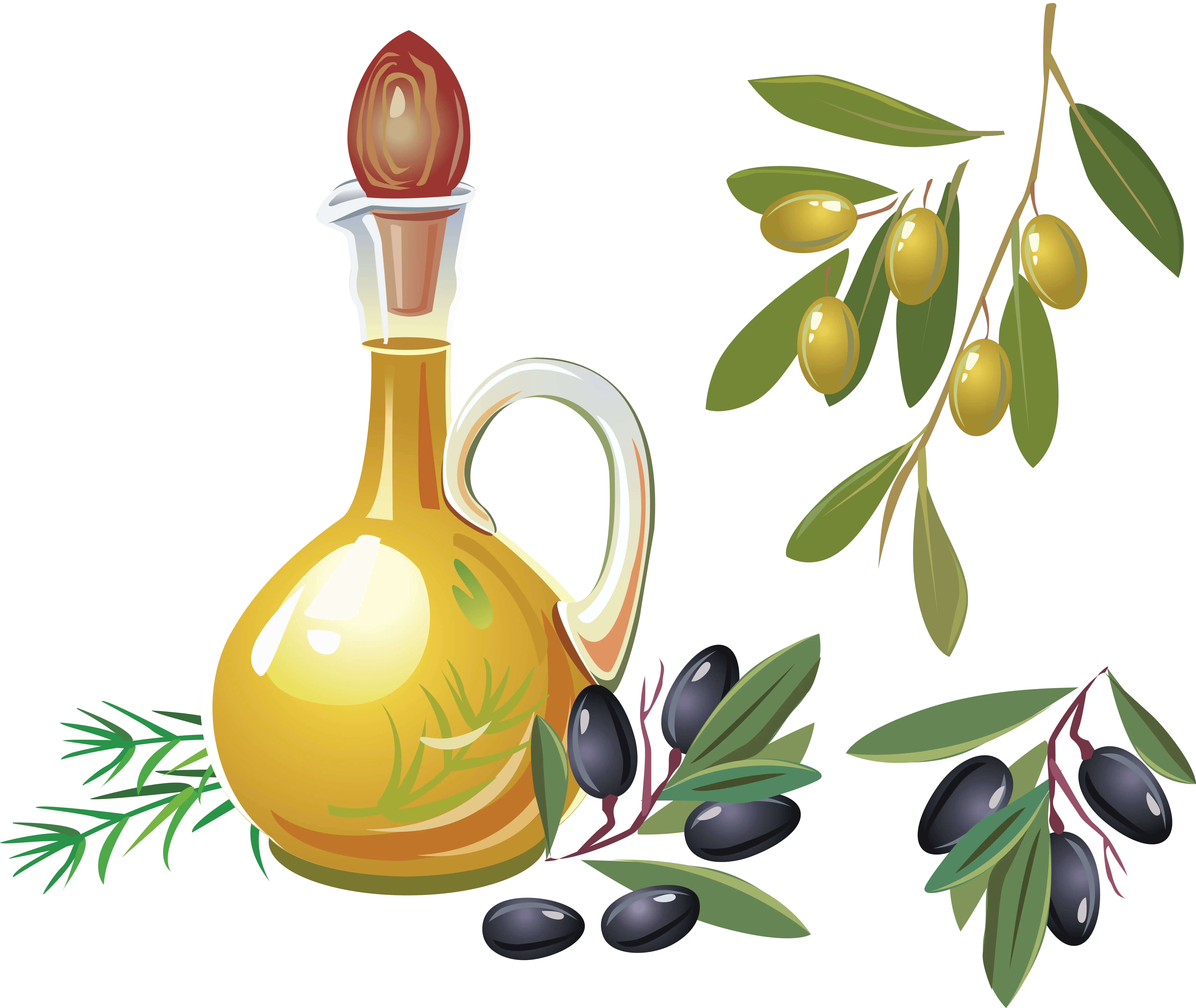
Golden Olive Oil Bottle with Fresh Olives -

Black Region Silhouette Map -

3D Globe Illustration of Earth Model -

Green Land Map Outline -
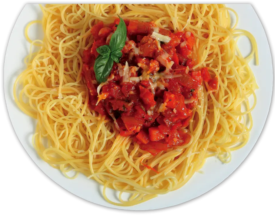
Spaghetti with Tomato Sauce on a Plate -

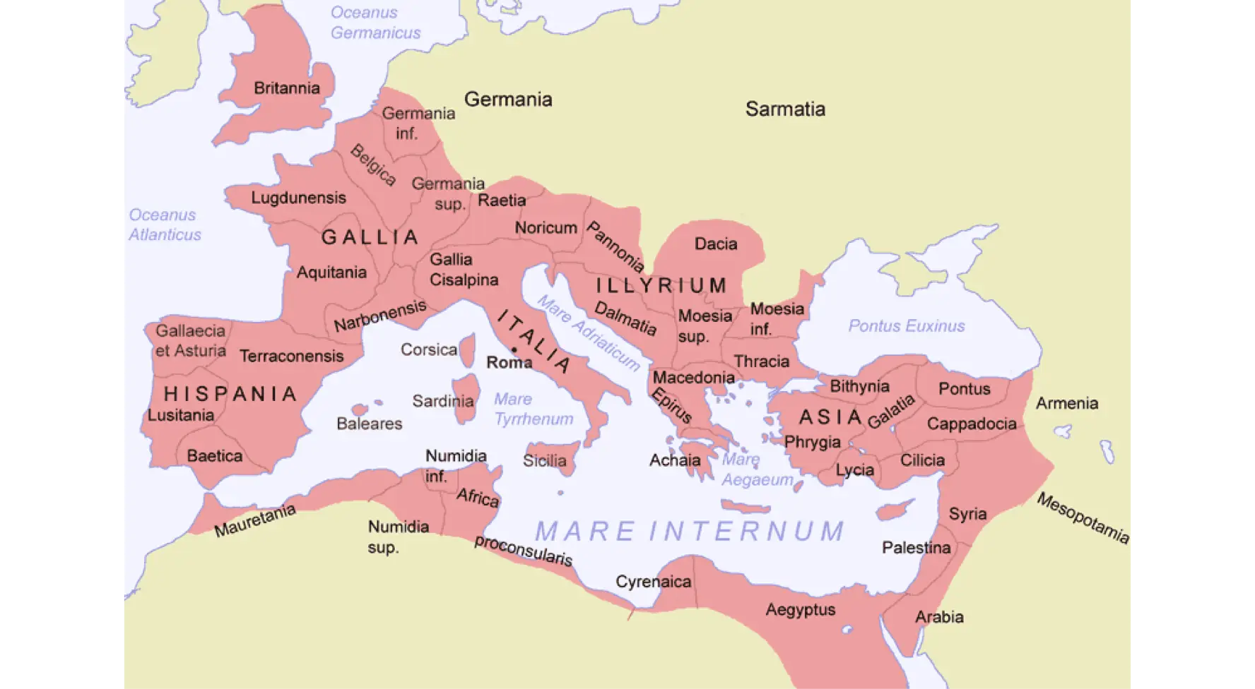
Map Highlighting Specific Regions -

Map of Turkey with Major Cities and Regions -
Old Tree with Branches and Leaves -

Soviet Emblem with Red and Yellow Design -

Delicious Shrimp Pasta with Lemon and Herbs -

Transparent World Map Design -
Animal Skeleton Display -

Olive Oil Bottle with Olives -

Silhouette Globe Design with Continental Map -

Map Outline of Slovenia -

Double Snake Symbol -
Portuguese Shield with Crown -

Map of Russia with Red, White, and Blue Flag Colors -

Vintage Parchment Scroll Illustration -

Map of Vietnam -

Gray Map Silhouette on Transparent Background -
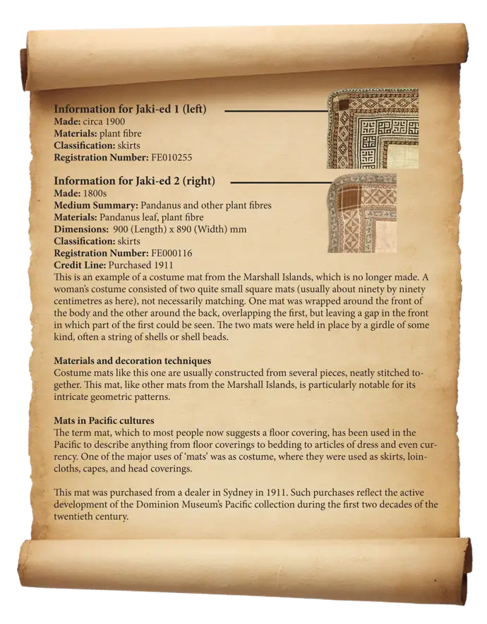
Antique Scroll with Information -

Trident Symbol Icon