Free Districts Cliparts and Illustrations
Free 20 districts cliparts & illustrations for your personalized works, such as political map displaying regional sectors, town councils of singapore map, map of haryana state, map with highlighted region in red and many more.
-
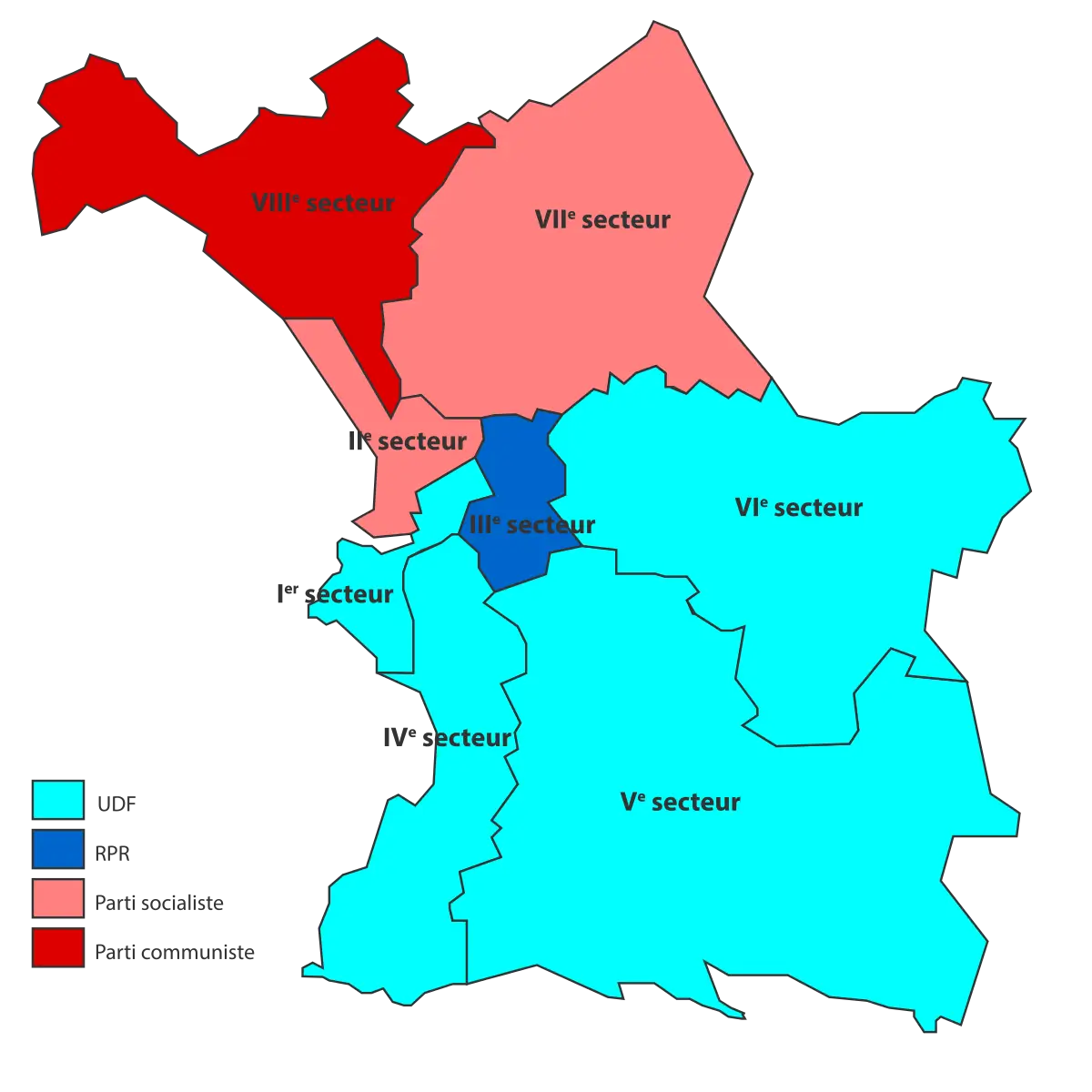
Political Map Displaying Regional Sectors -
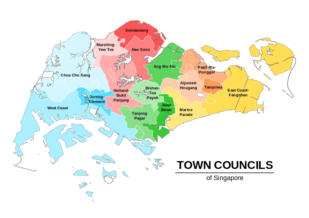
Town Councils of Singapore Map -
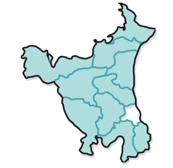
Map of Haryana State -
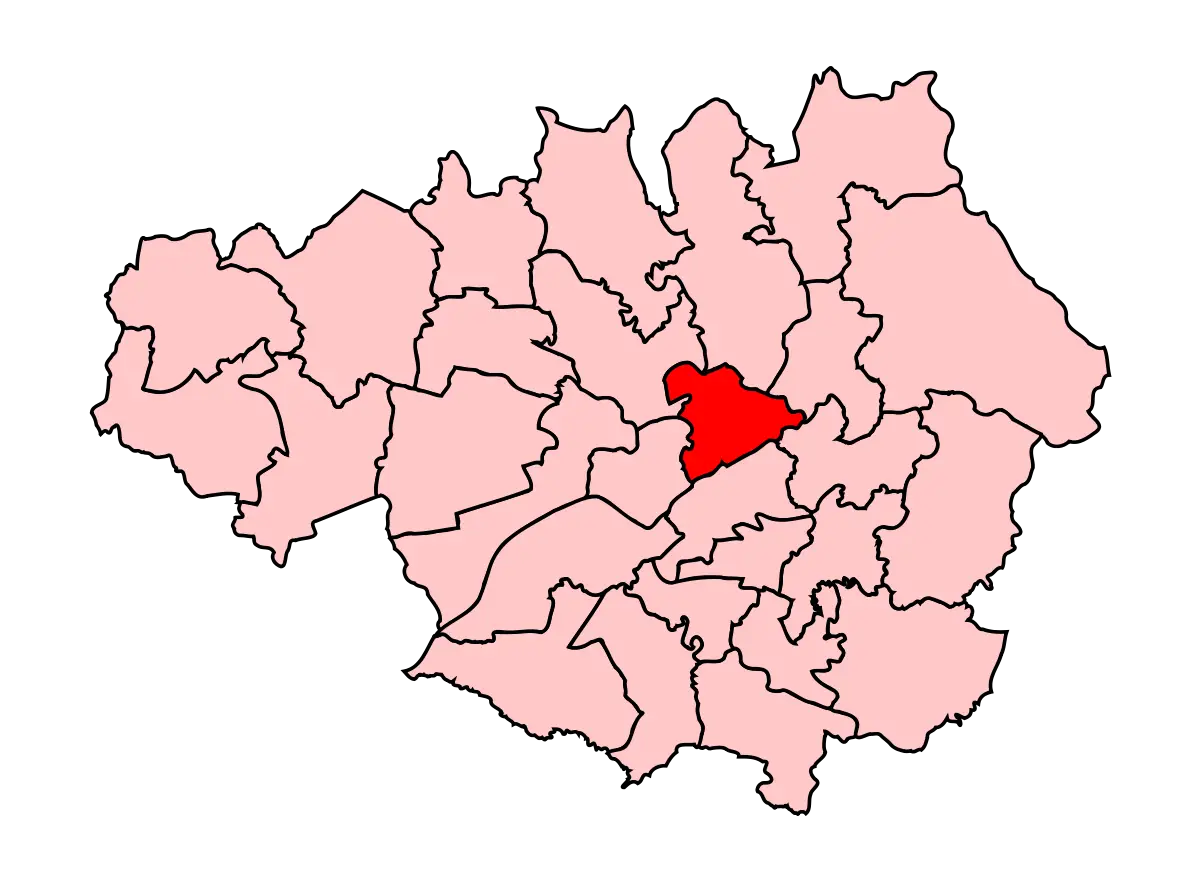
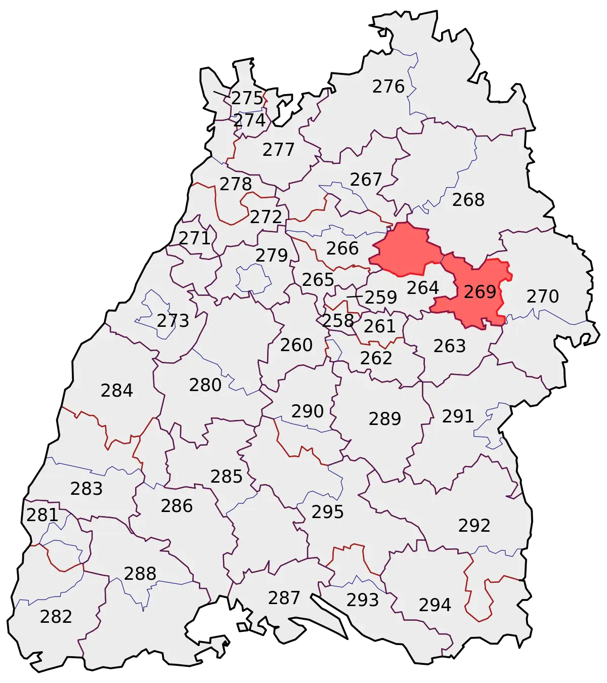
Map with Highlighted Region in Red -
Geographic Region Map with Highlighted Area -
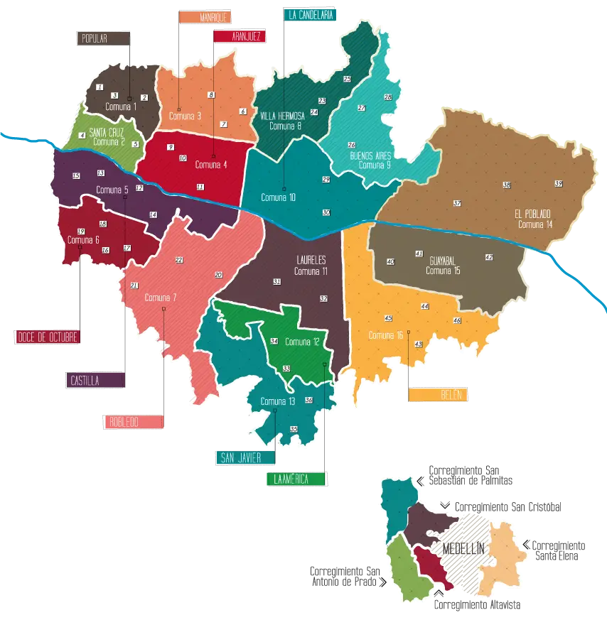
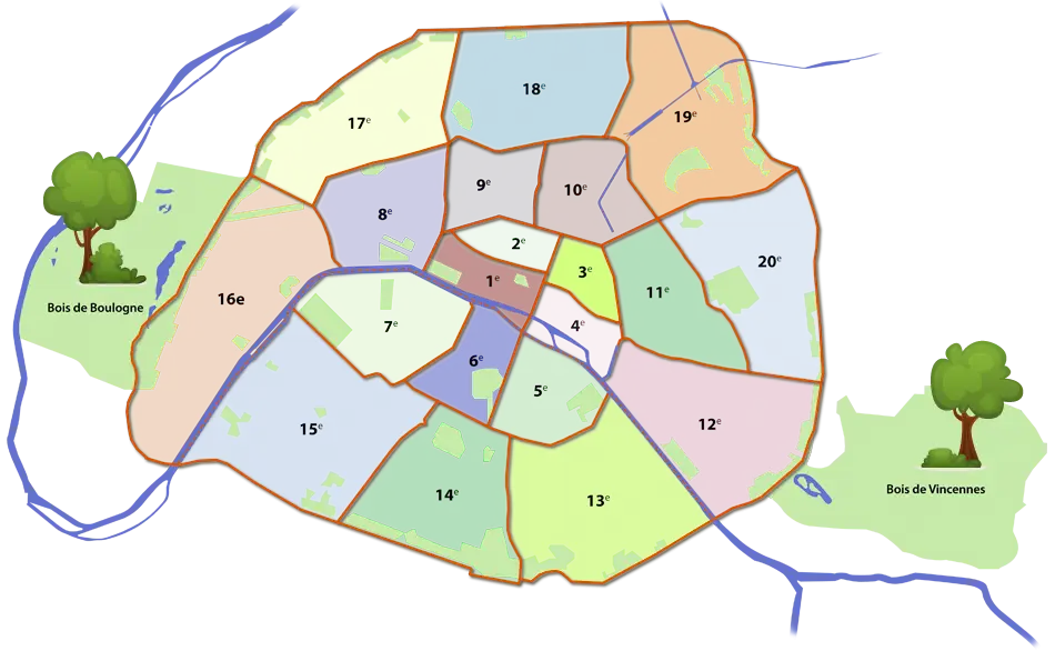
Colorful City Map -
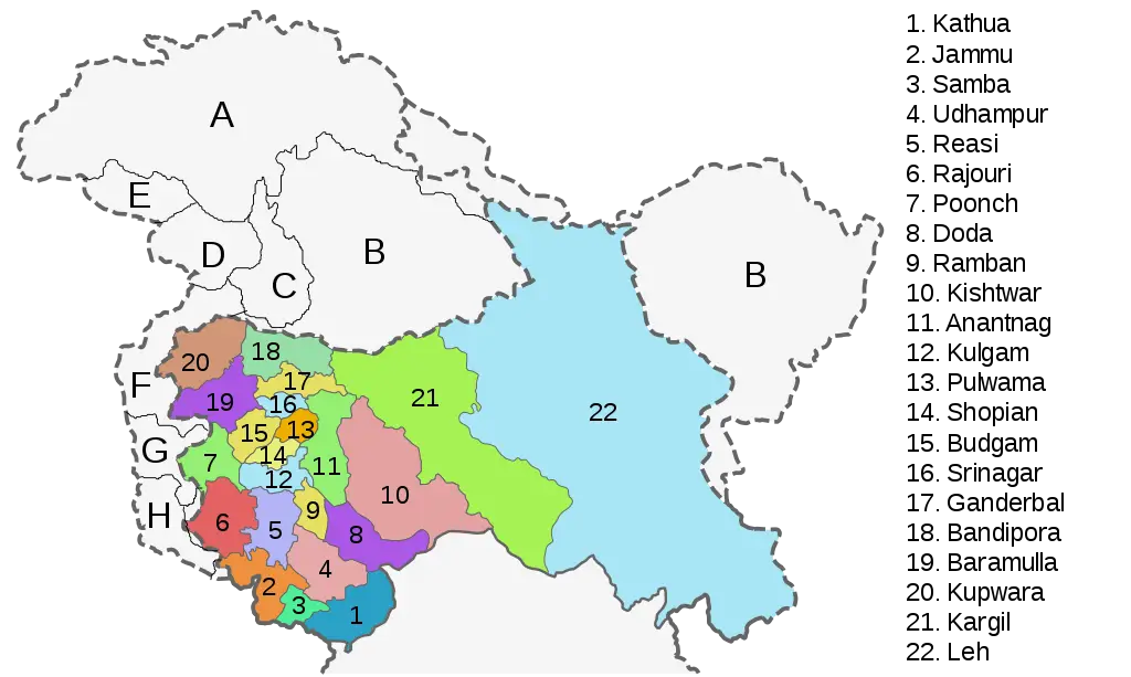
Map of Regions and Districts -
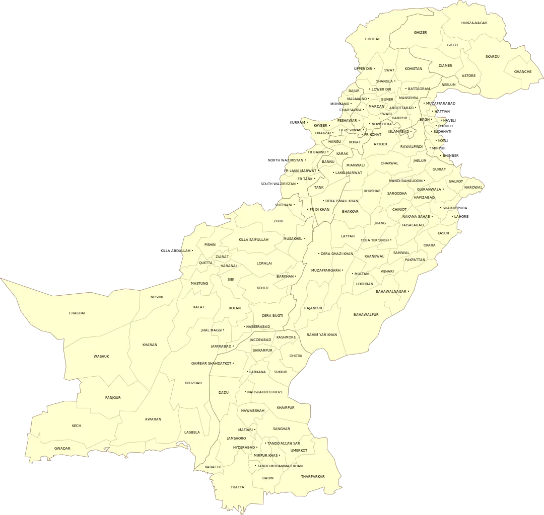
Yellow Map of Pakistan with Regional Labels -
City Districts Map -

Map Highlighting Specific Regions -
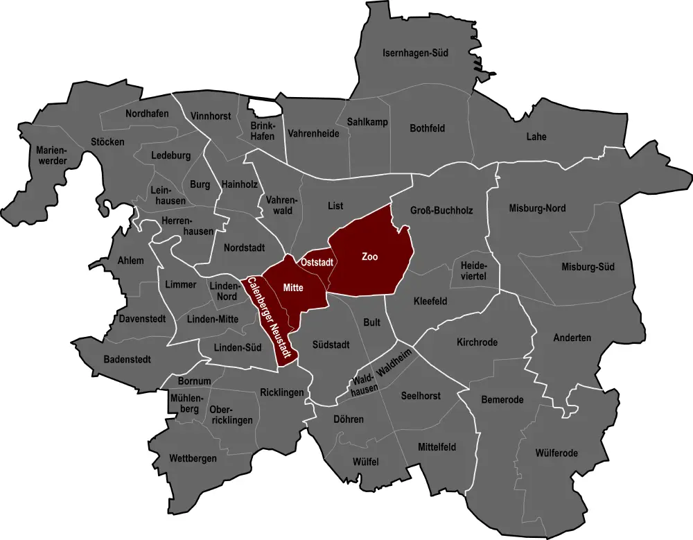
City Map with Highlighted Regions -
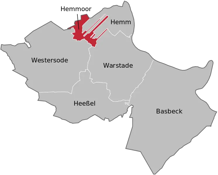
Map Highlighting Hemmoor and Its Surroundings -
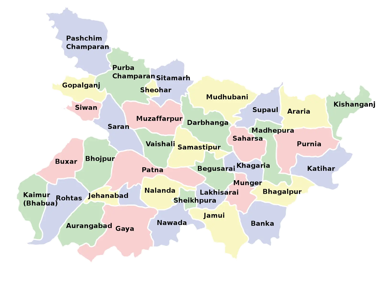
Map of Bihar with District Divisions -
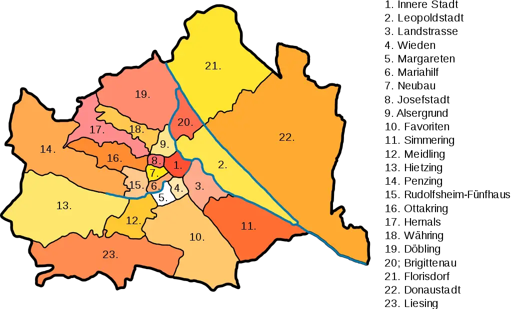
Color-coded City District Map -
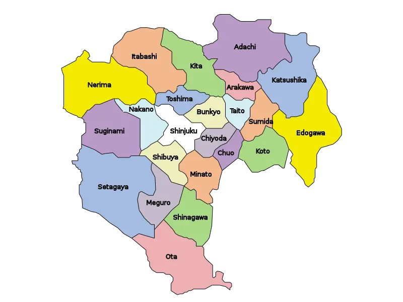
Map of Tokyo Wards -
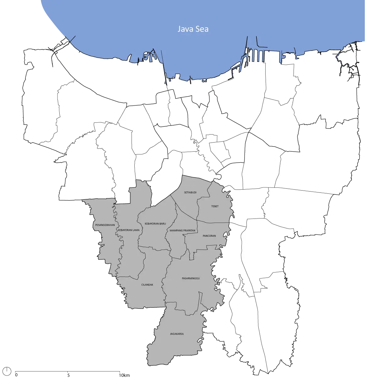
Jakarta Map with Highlighted Area -
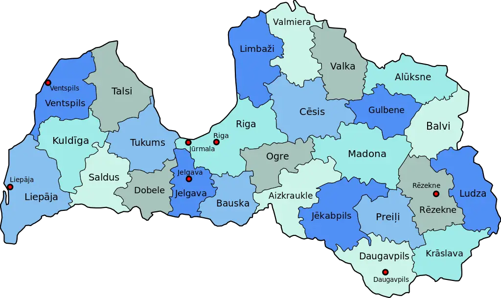
Map of Latvia -
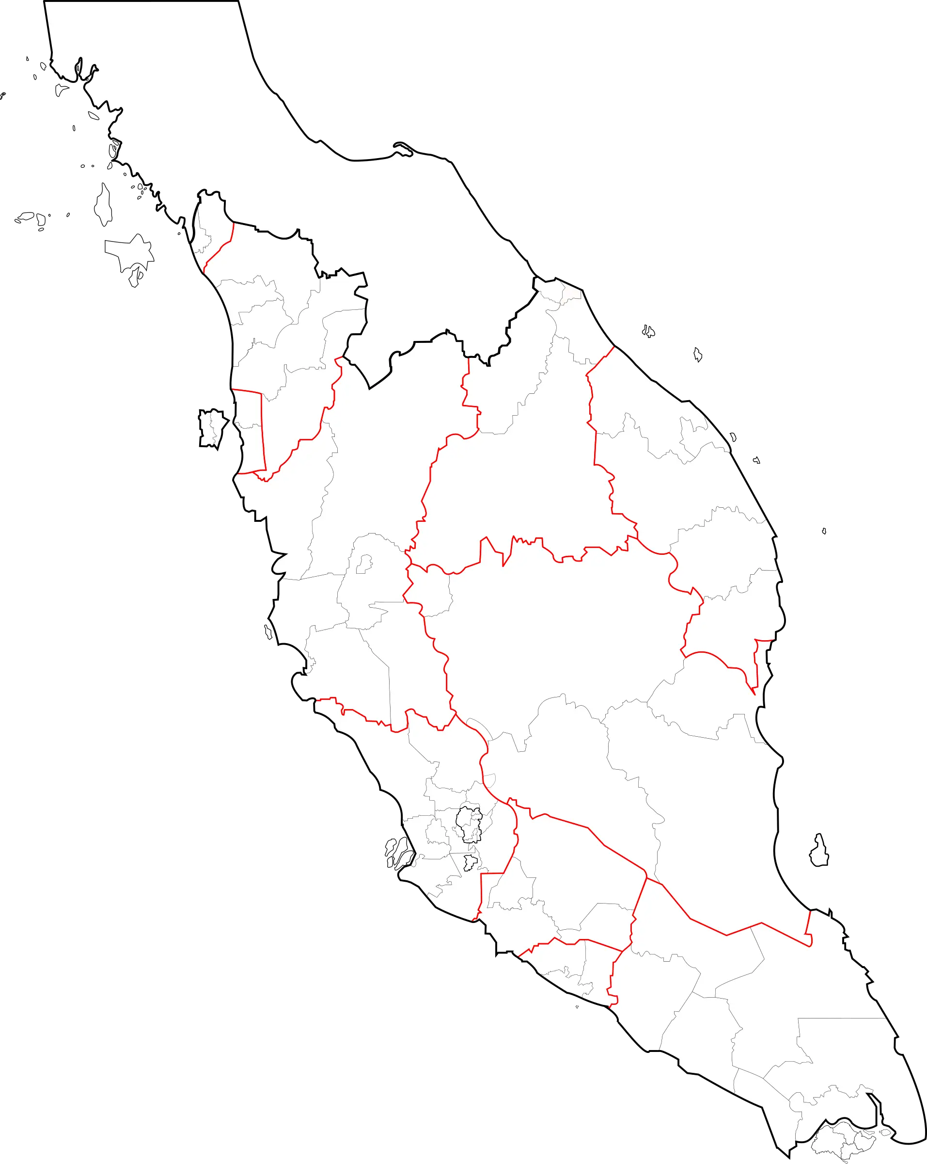
Peninsular Malaysia Map Outline -
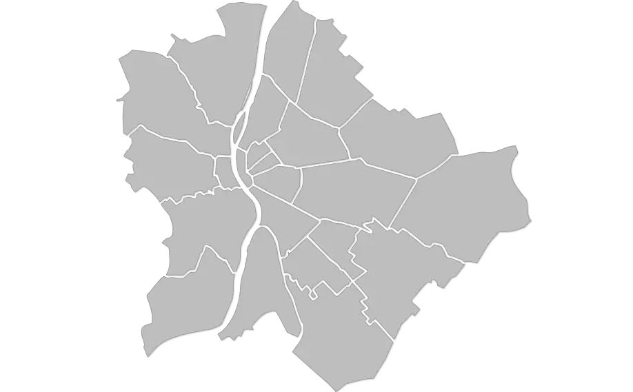
Urban City Map -

Red and Blue Political Map of the United States