You Might Like
-
Blue Eco-Friendly Electric Car -

Colored Regional Map of Africa -
White and Black Athletic Sneakers -
Modern Black Sedan Car for Urban Driving -
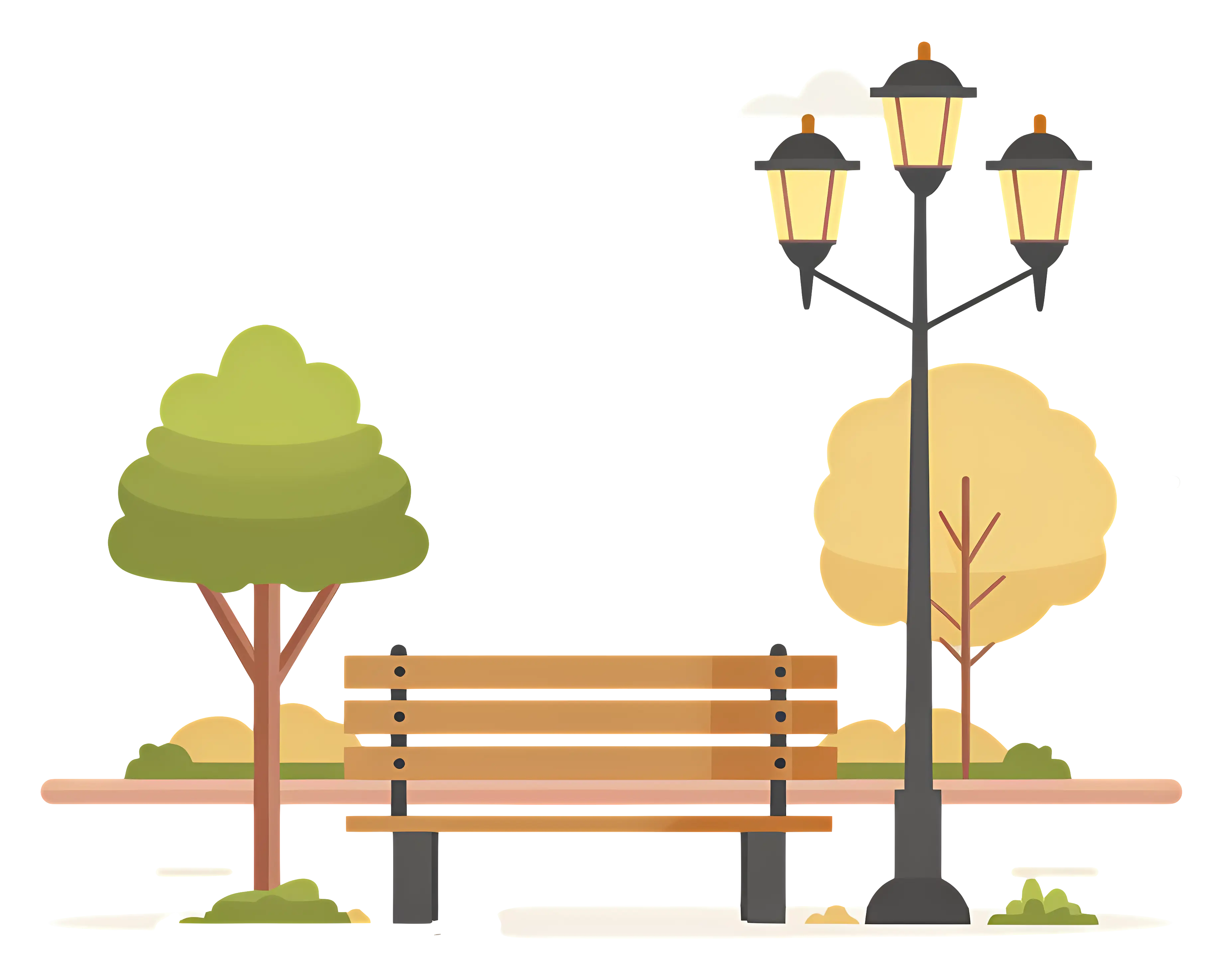
Park Bench with Lamp Post and Trees in the Background -

Ninja Warrior with Sword -
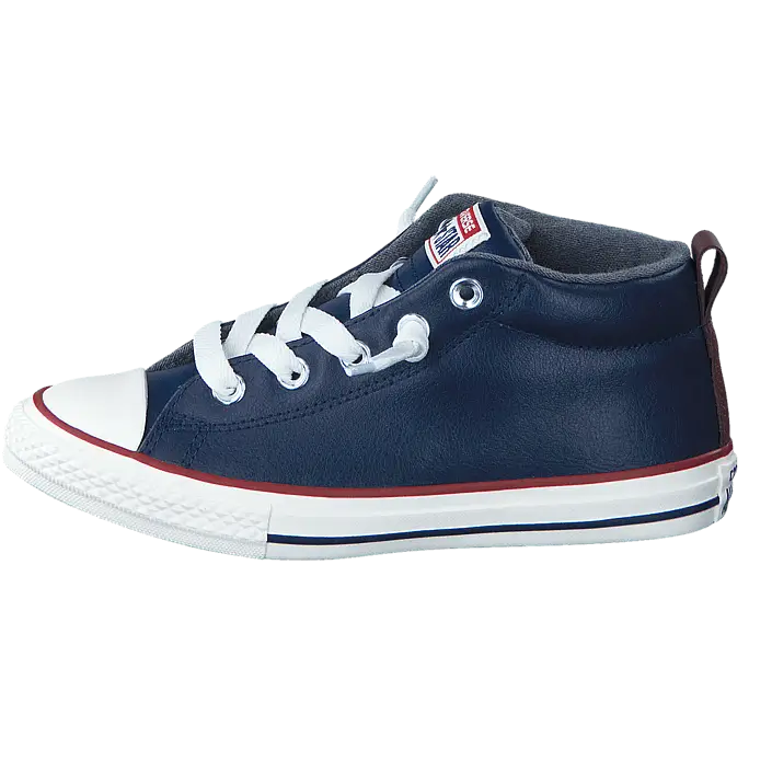
Navy Blue Casual High-Top Sneaker -
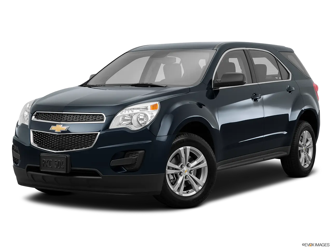
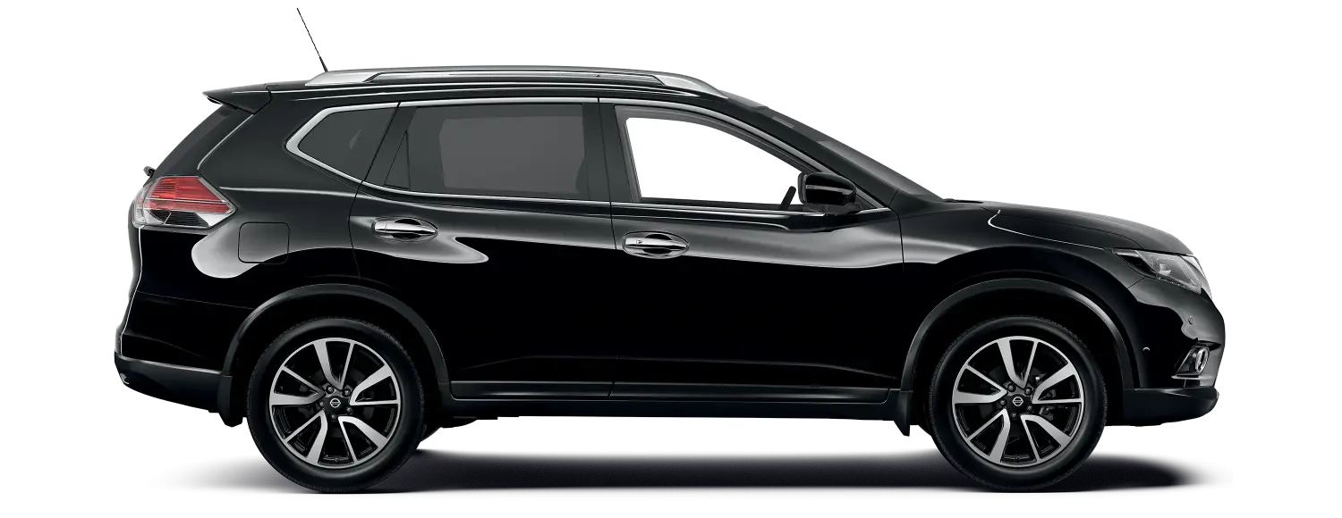
Black SUV for Comfortable Driving -
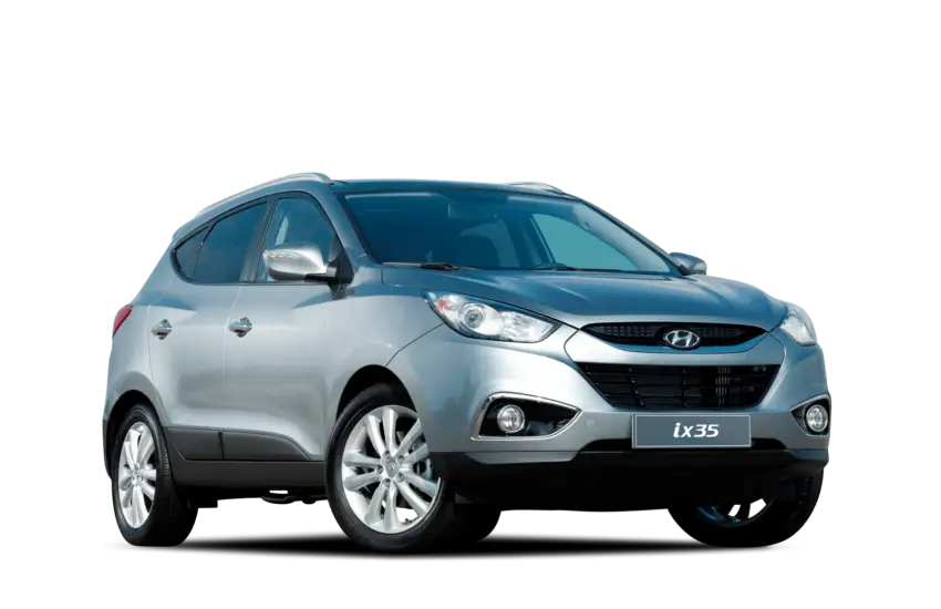
Silver SUV Automobile -

Colorful Abstract Painting with Geometric Shapes -
Red Electric Scooter -

Black Compass Rose for Navigation and Mapping -
Blue Motorbike Illustration -
Pedestrian Crossing Road Sign Design -
Red Compact SUV with Sleek Design -

Crackdown Text Logo with Graphic Motif -
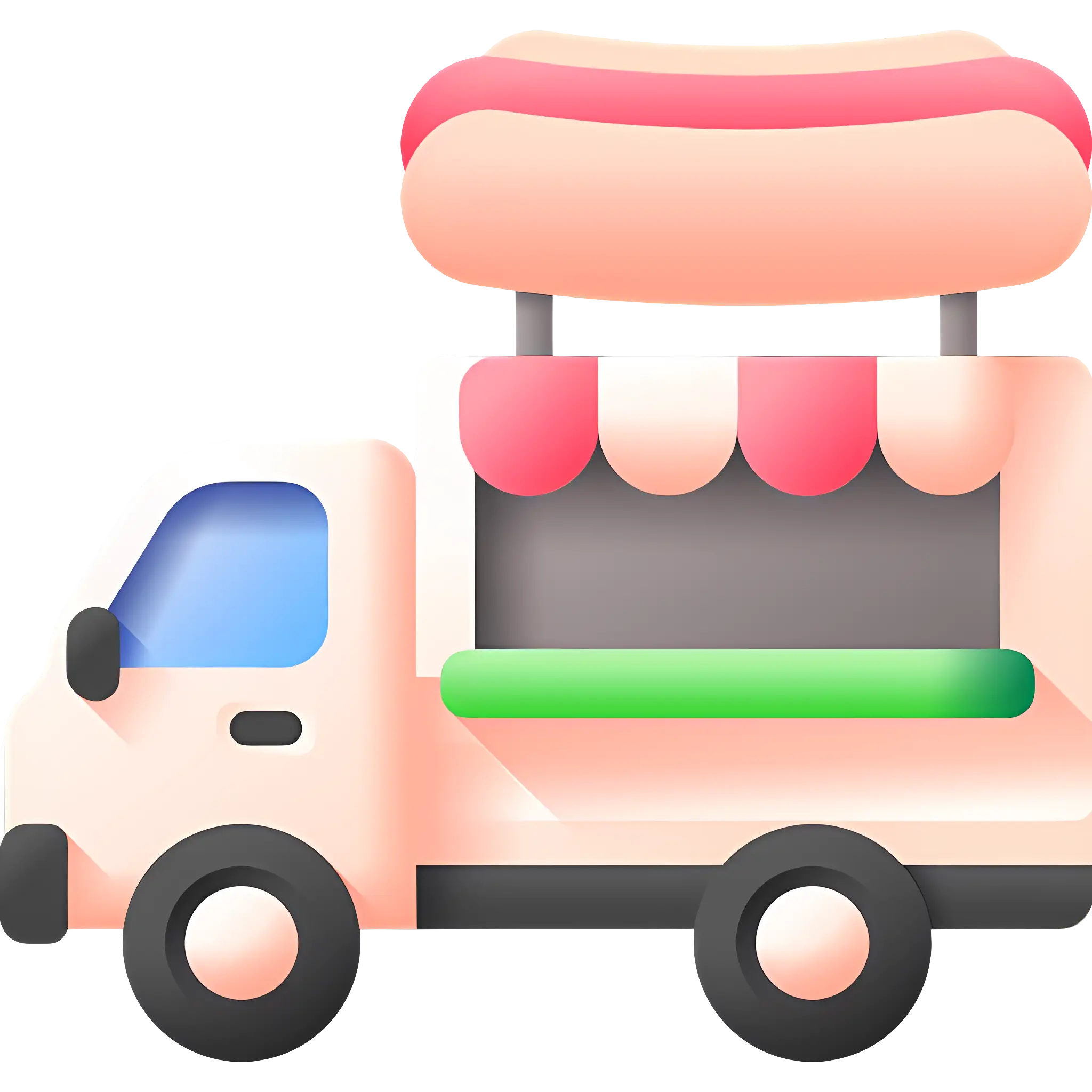
Cute Hot Dog Truck -
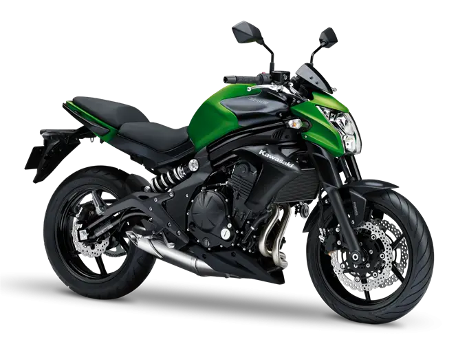
Green and Black Urban Motorcycle for Daily Commutes -

2020 New Year Celebration with Fireworks -

Person Holding Backpack in Casual Outfit -
Black SUV for Urban and Off-road Use -
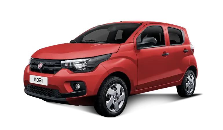
Red Compact Modern Car for Everyday Use -

School Building with Clock on Facade -
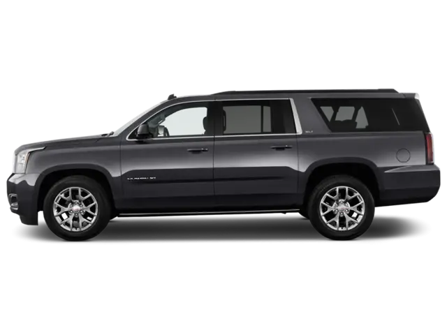
Black SUV Car for Off-Road and Urban Travel -
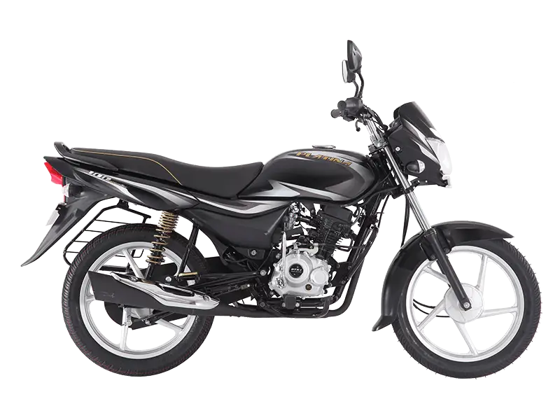
Black Motorbike for Smooth Rides -

Map Highlighting Specific Regions -
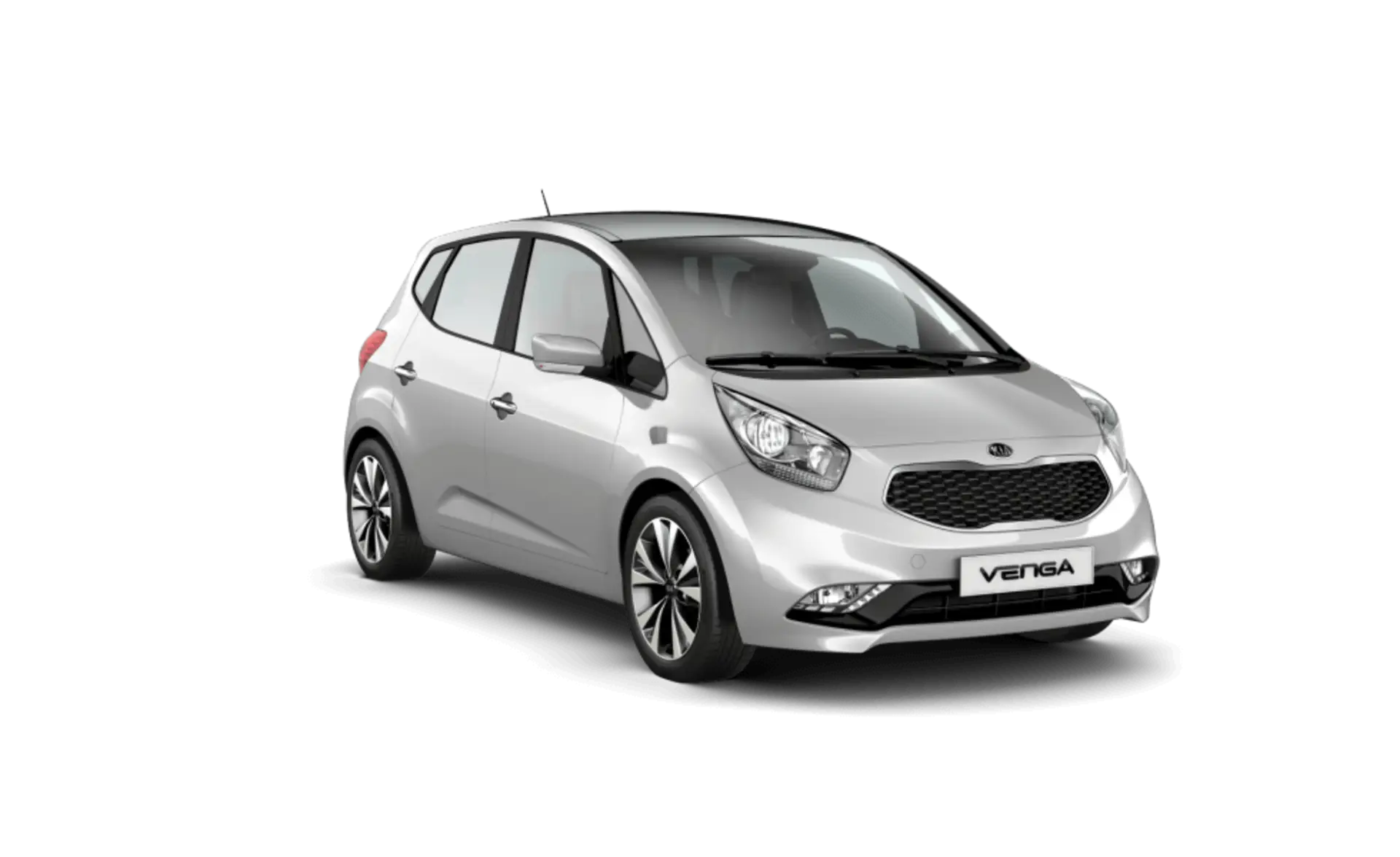
Silver Compact Hatchback Car -
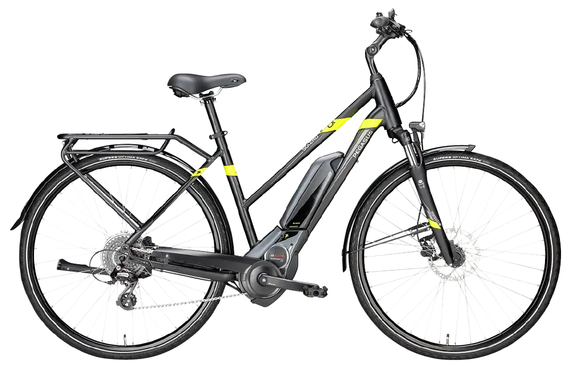
Black Electric Bike with Modern Design -

Green Recycling Bins with Logos -
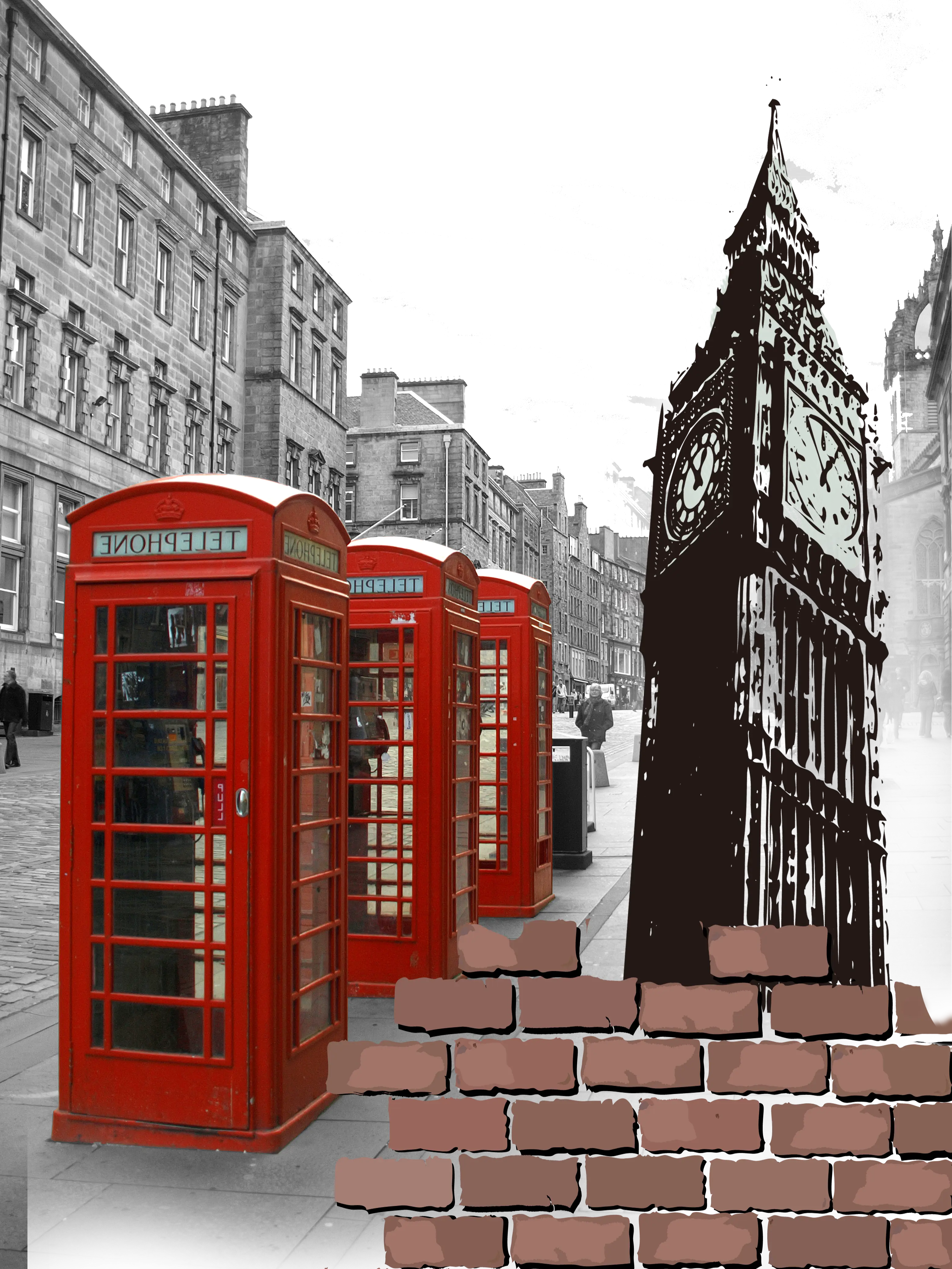
Red Telephone Booths and Big Ben in London