You Might Like
-

Colored Regional Map of Africa -

Blue Globe with Continents Illustration -

Blue Globe Model for Geography Learning -

Map of the Soviet Union with Highlighted Regions -

Green Globe Icon Representing Sustainability -

Complete Blue World Map -

Black Region Silhouette Map -

3D Globe Illustration of Earth Model -

Green Land Map Outline -

Map Highlighting Specific Regions -

Map of Turkey with Major Cities and Regions -
Abstract Colorful Planet Art -

Soviet Emblem with Red and Yellow Design -

Transparent World Map Design -

Silhouette Globe Design with Continental Map -

Happy Earth Illustration with Leaves -

Map Outline of Slovenia -

Cracked Earth Texture Illustration -
Pile of Soil -

Blue Recycling Symbol Logo -

Map of Russia with Red, White, and Blue Flag Colors -

Red Globe Pin Illustration -

Black Globe with Orbital Line Illustration -

Map of Vietnam -
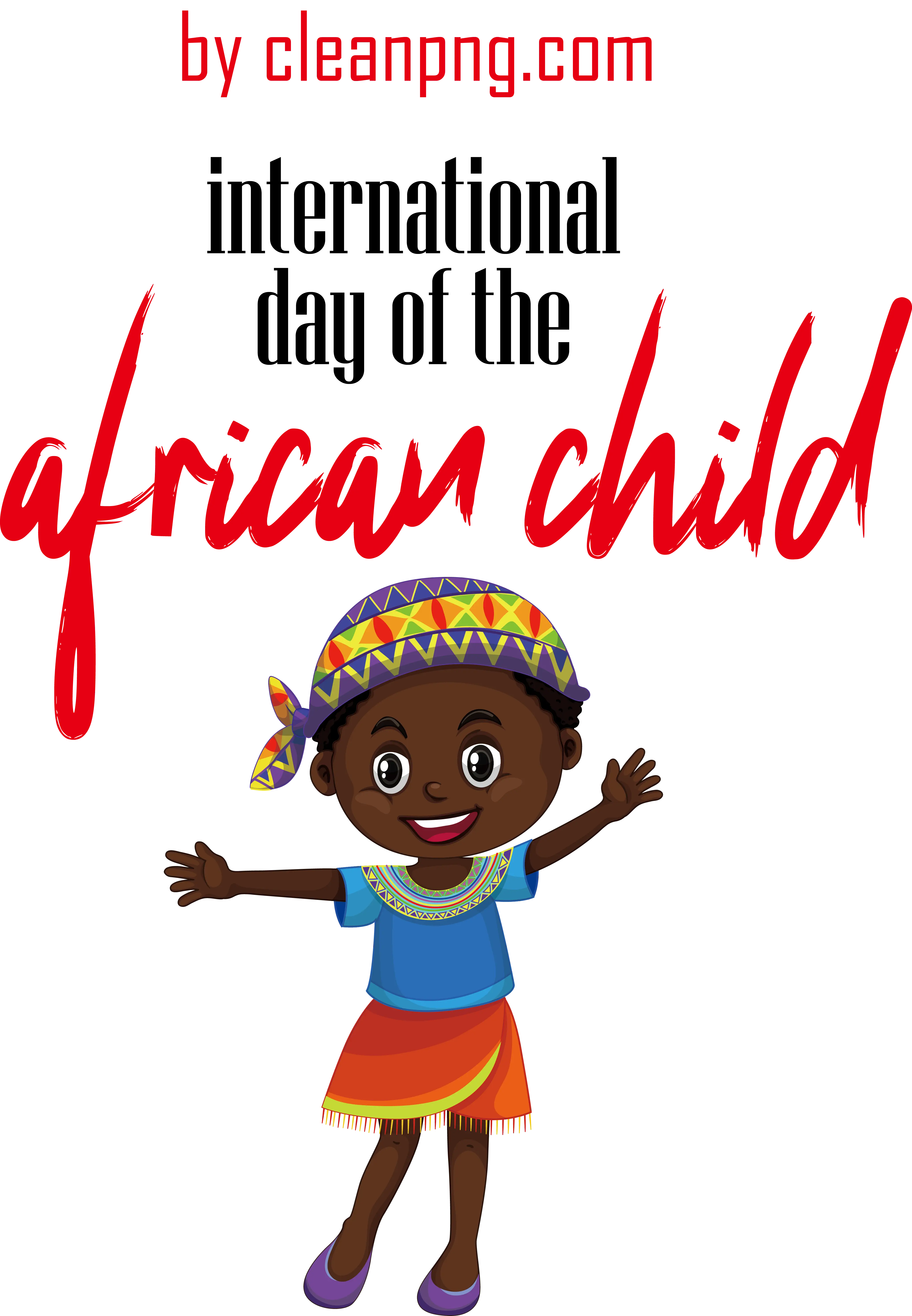
International Day of the African Child Illustration -

Gray Map Silhouette on Transparent Background -
Young Seedlings in Soil -

Colorful World Map Globe Representation -
World Globe Icon -
The National Flag of Ghana