You Might Like
-

Colored Regional Map of Africa -
Mid-Century Wooden Table -

Pixel Art Devil Cat with Trident -

Retro Red Alarm Clock -

Blue Globe with Continents Illustration -
Modern Motorcycle Helmet with Visor -

Blue Globe Model for Geography Learning -

Map of the Soviet Union with Highlighted Regions -
Pixelated Game Characters -

Gray Angel Wing Illustration with Feathery Details -

Classic Telephone Silhouette Icon -
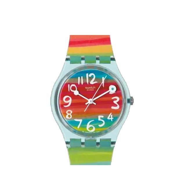
Colorful Rainbow Wristwatch -

Complete Blue World Map -
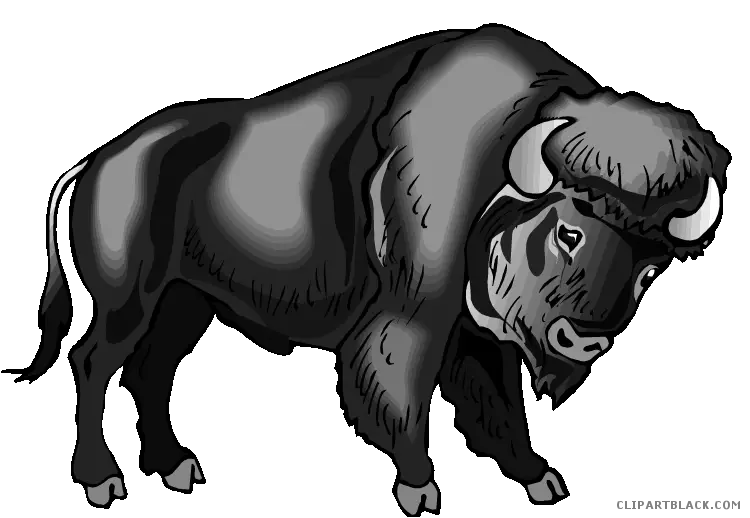
Bison or Buffalo Illustration in Black and White -

White Digital Tablet with Sleek Design -
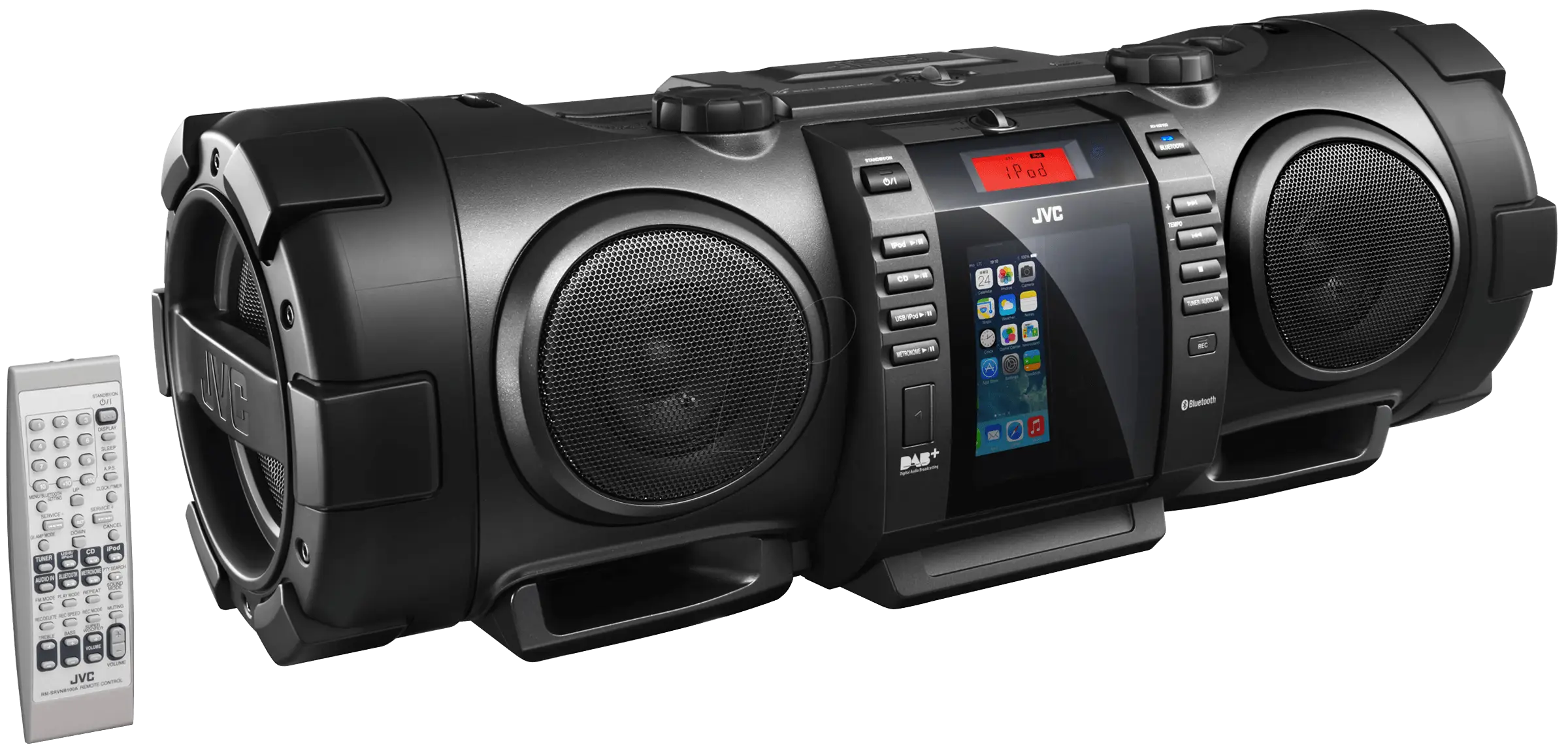
Black Boombox with Speakers for Portable Music -

CNBC Logo with Peacock Design -

Geometric White Cloud Icon -

Retro Telephone Icon Design -

Black Region Silhouette Map -
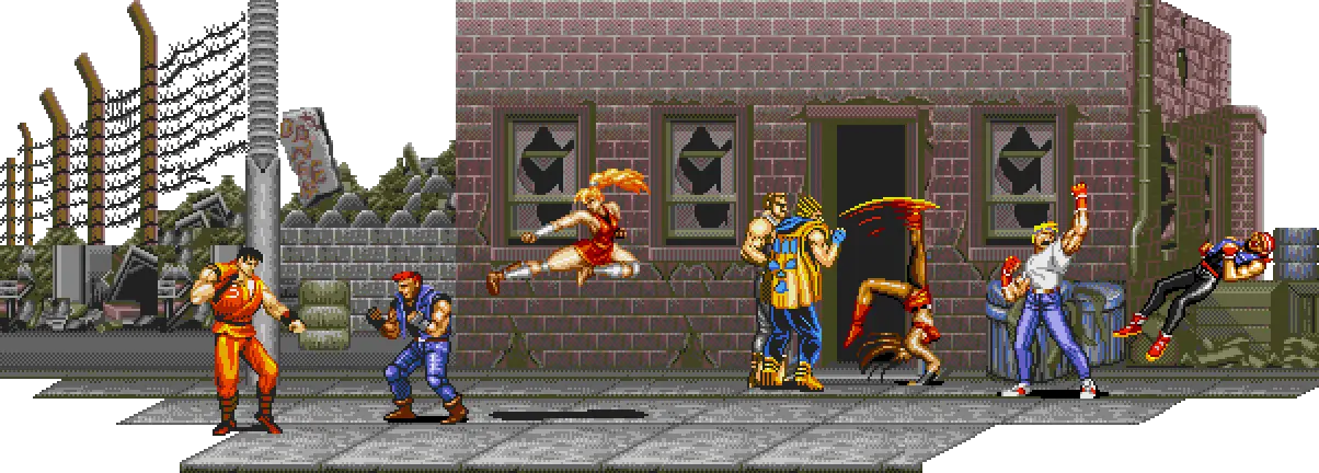
Classic Retro Video Game Fighting Scene -

Cartoon Police Car with Badge -
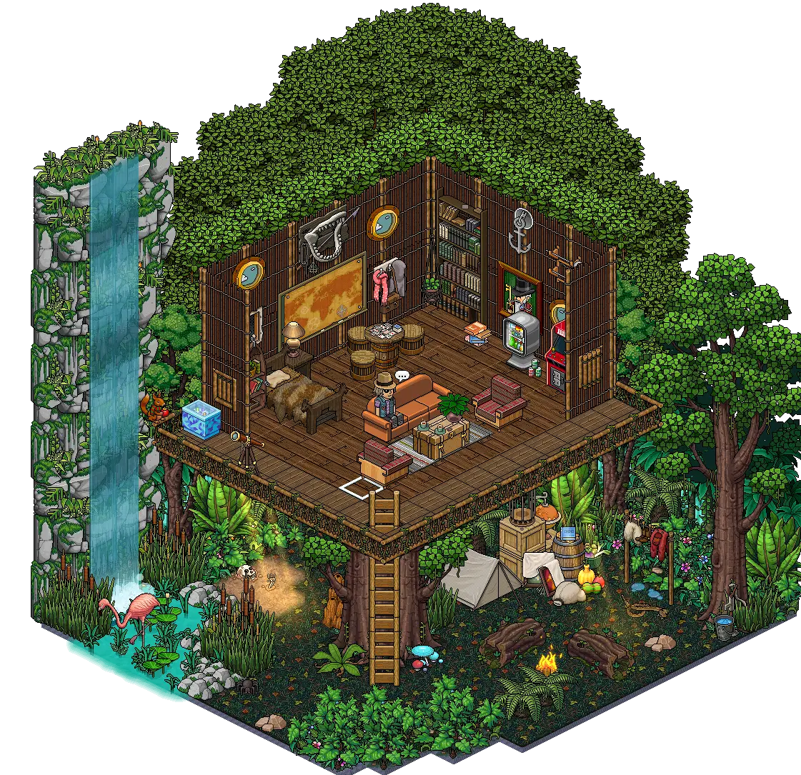
Charming Treehouse in the Forest -

3D Globe Illustration of Earth Model -

Pink Disco Ball for Party Decoration -

Green Land Map Outline -

Man in Striped Shirt with Beret Illustration -

Simple Black Mustache -

Map Highlighting Specific Regions -

Cool Red Shutter Shades