You Might Like
-

Colored Regional Map of Africa -
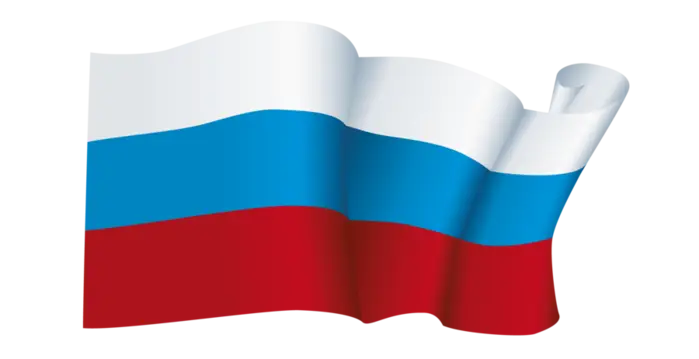
Russian Flag -
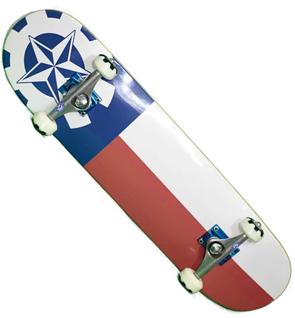
Cool Skateboard Deck -

Blue Globe with Continents Illustration -

Blue Globe Model for Geography Learning -

Map of the Soviet Union with Highlighted Regions -

Panama National Flag -

Black Compass Rose for Navigation and Mapping -
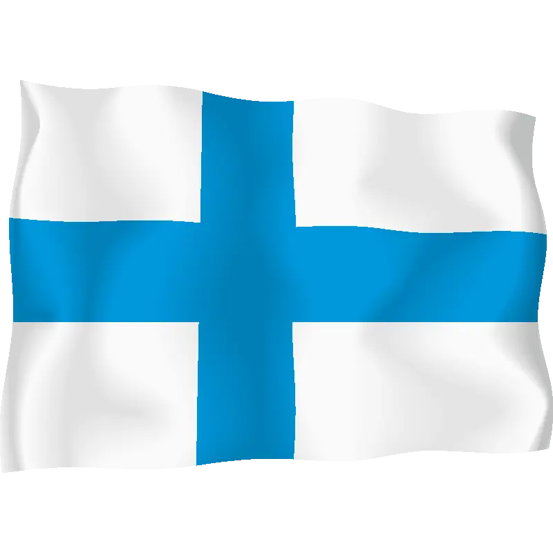
Blue Cross National Flag Illustration -

Complete Blue World Map -
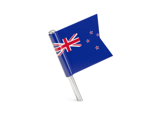
New Zealand National Flag with Southern Cross -

Dog Sledding in Snow -

Polar Bear Face Illustration -
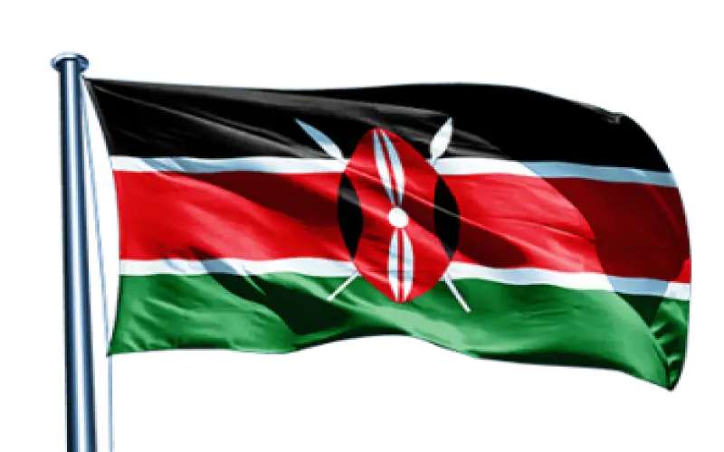
Kenya National Flag -

Black Region Silhouette Map -

American Flag Icon -
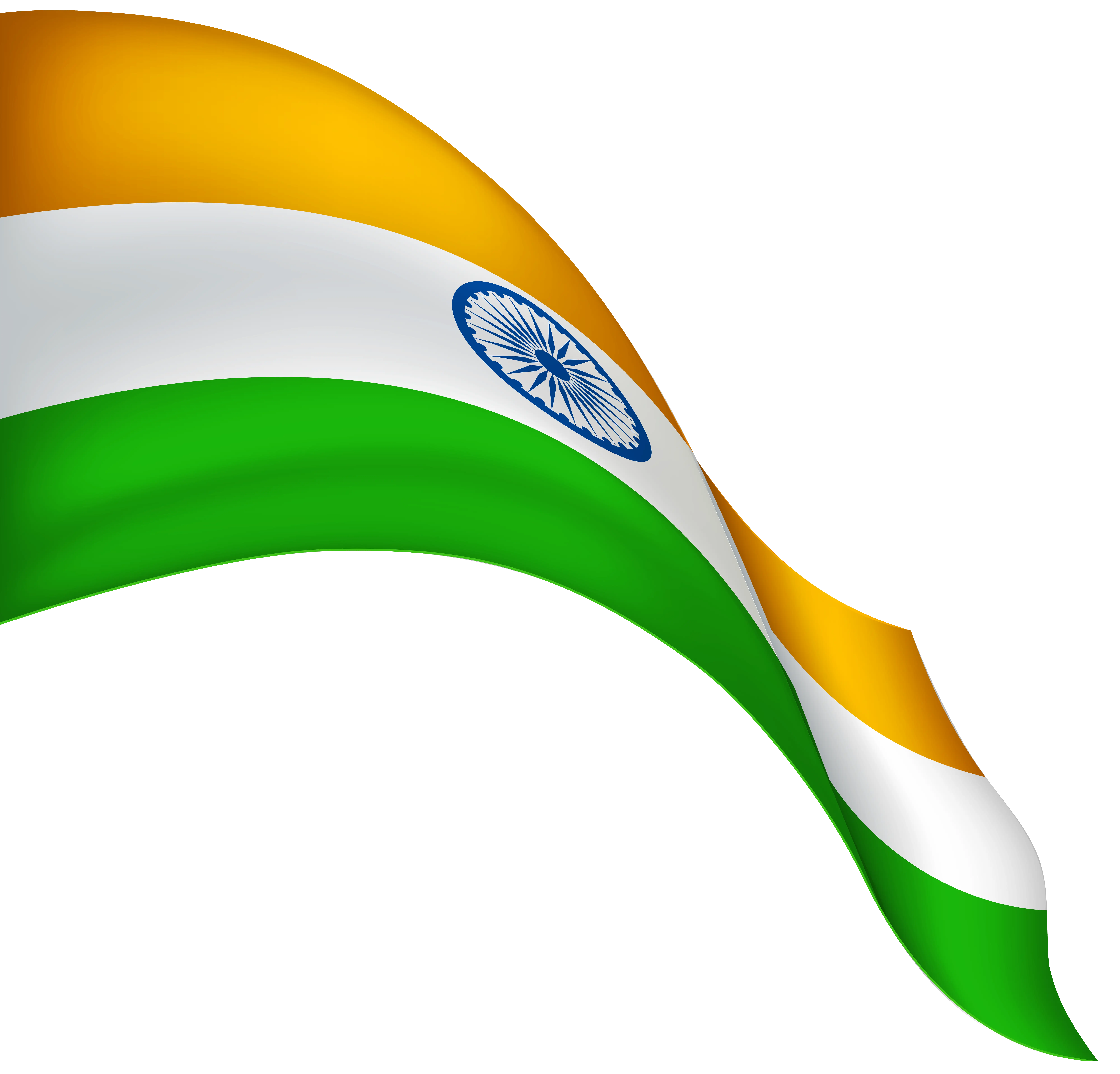
Waving Indian Flag Illustration -

Wavy American Flag Illustration -

National Flag of China -

3D Globe Illustration of Earth Model -

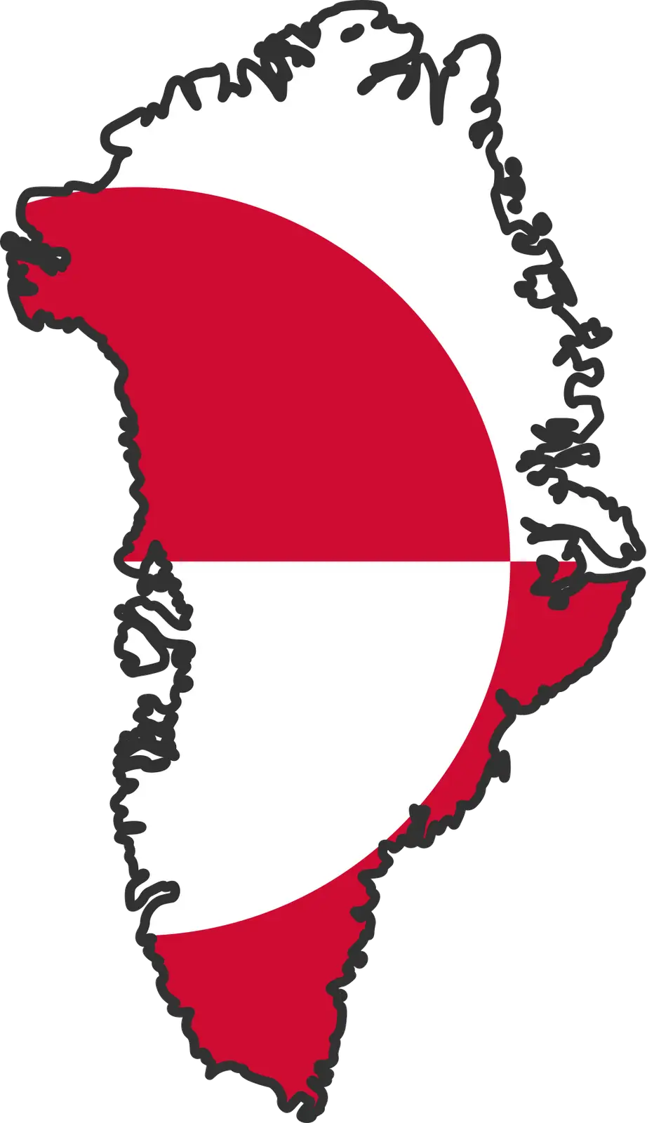
Green Land Map Outline -

Cute Cartoon Penguin in Winter Attire -

Map Highlighting Specific Regions -

Map of Turkey with Major Cities and Regions -

Illustration of the USA Flag -

Soviet Emblem with Red and Yellow Design -

Transparent World Map Design -

Campground Map for Outdoor Adventures -
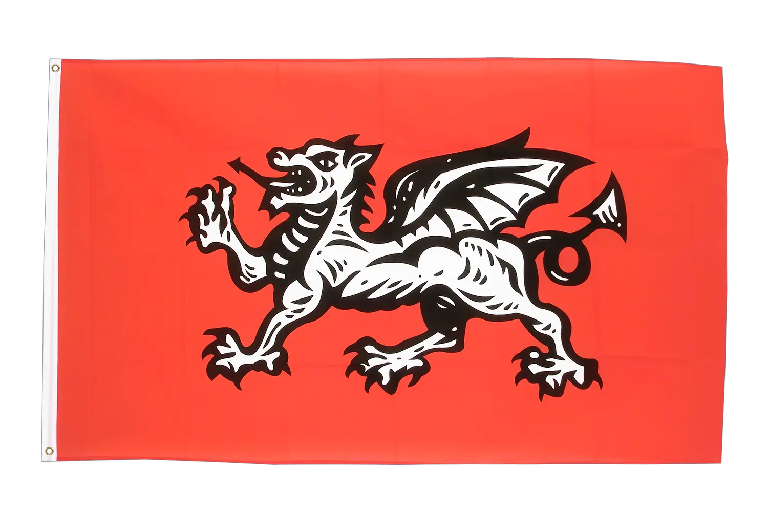
Red Flag with Black Dragon -

Simple Navigation Map