
Historical Map of Spain
This historical map depicts the political divisions of the Iberian Peninsula and parts of southern France during a significant period of its medieval history. It clearly shows the vast territories of the Cordoba Caliphate dominating the south, with various emerging Christian kingdoms and counties in the north, including the Kingdom of Leon, the County of Castile, the Kingdom of Navarre, and the Counties of Ribagorza and Barcelona, along with parts of France. Numerous cities within these territories are marked, illustrating the geopolitical landscape of the region, likely around the late 10th or early 11th century.
iberian peninsula - medieval history - cordoba caliphate - kingdom of leon - navarre - castile - historical map
This image only for personal use, png & jpg filesize may vary
You Might Like
-
Map of the Soviet Union with Highlighted Regions -
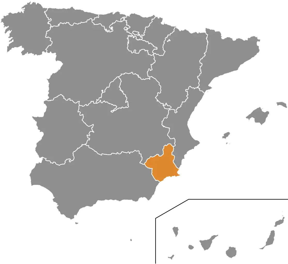
Map Highlighting Region in Spain -
Medieval Heraldic Shield with Castle and Lion -
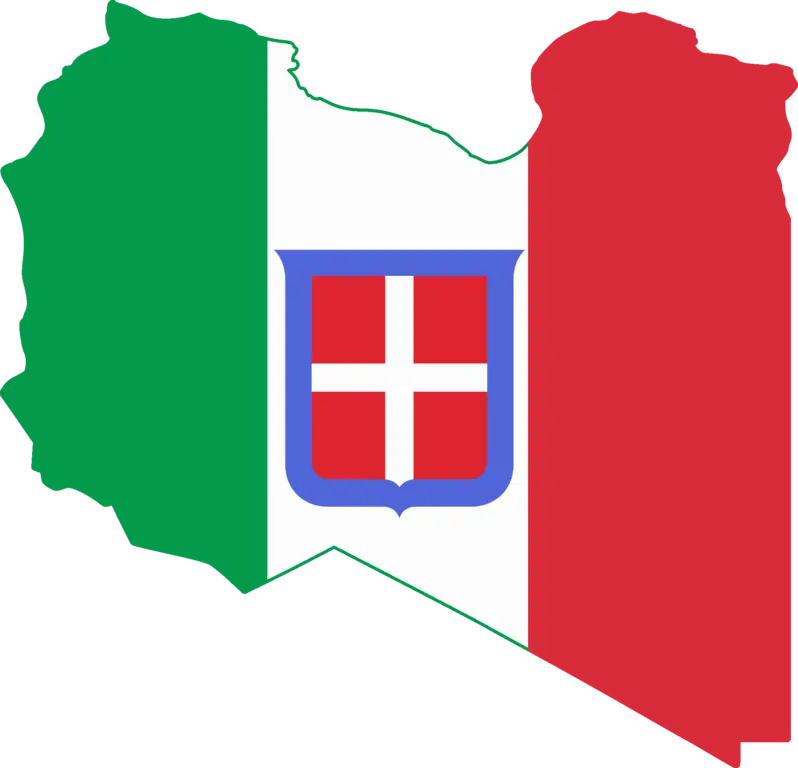
Libya Map with Italian Flag Colors -
Navarre Coat of Arms -
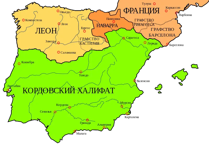
Geographical Map of Spain with Rivers -
Historic Coat of Arms Design -
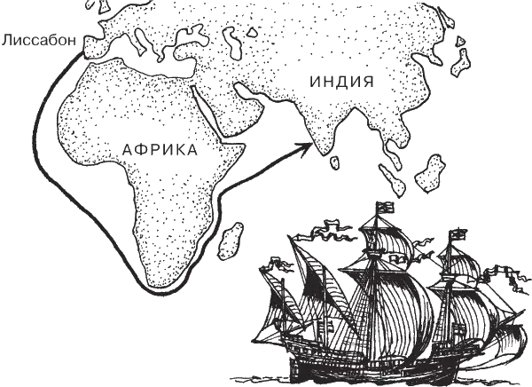
Historical Map of a Sea Voyage -
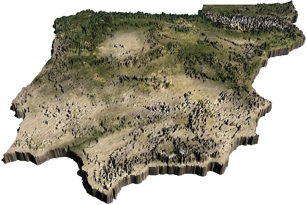
3D Terrain Map -
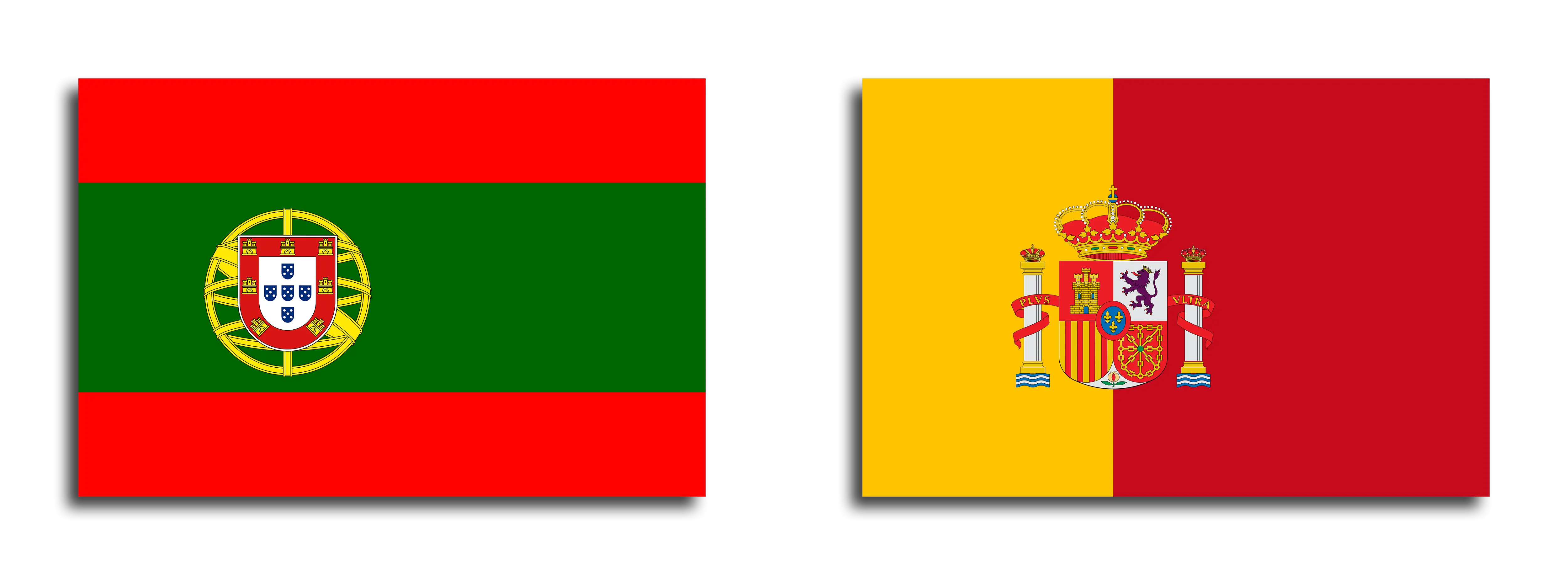
Flags of Portugal and Spain -
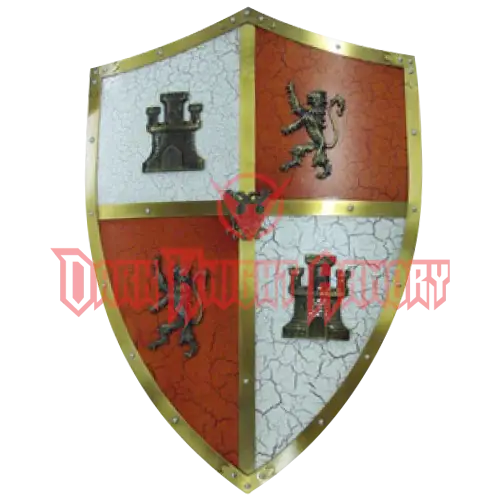
Medieval Shield with Coat of Arms -
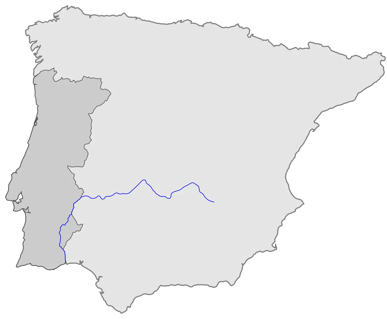
Map of Iberian Peninsula Featuring River -
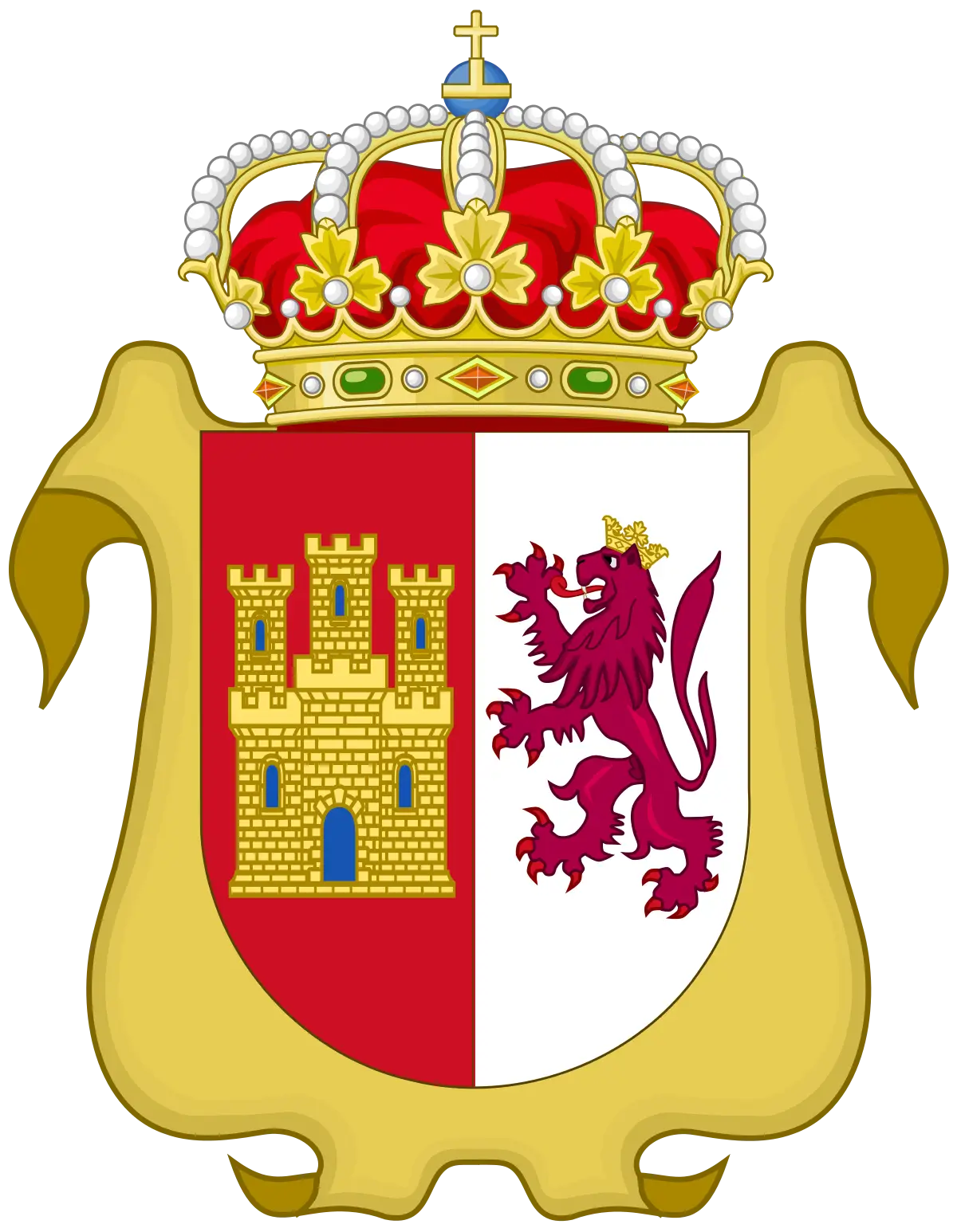
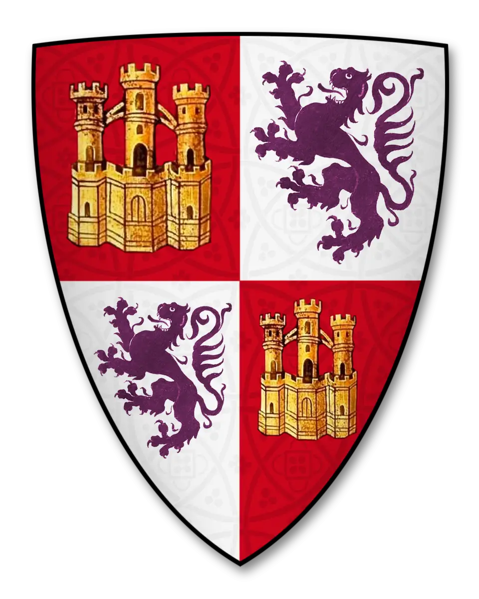
Castile and León Coat of Arms Design -
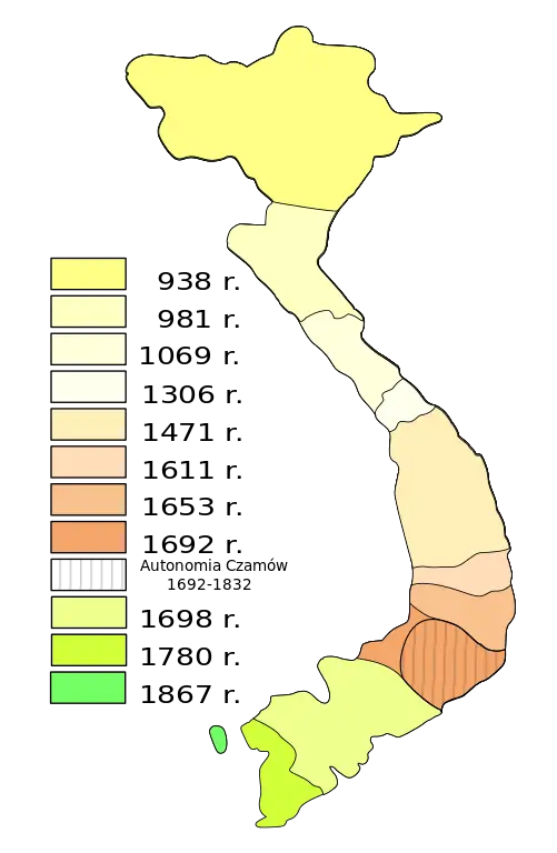
Historical Map of Vietnam