You Might Like
-

Blue Fish Graphic Illustration -

Colored Regional Map of Africa -
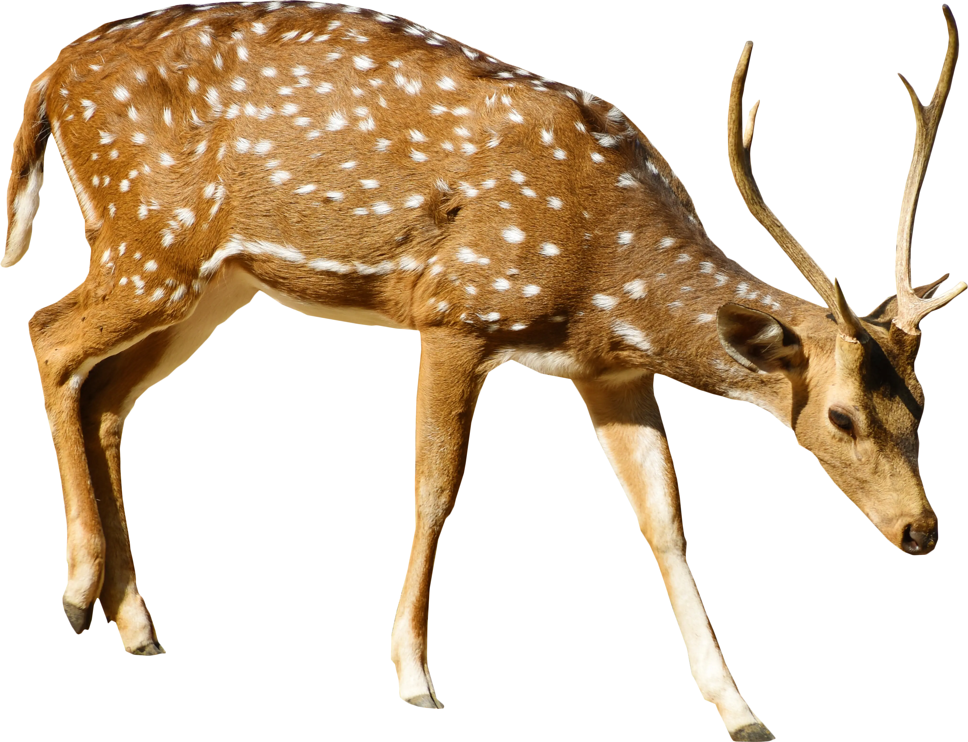
Spotted Deer with Antlers -

Colorful Stack of Books with Decorative Leaves -

Butterflies Flying Over Lush Green Grass -

Mountain Lion Sketched Illustration -

Artistic Owl Illustration with Wood and Green Design -

Stack of Colorful Books for Learning -

Playful Dolphins Jumping in Water -

Blue Globe with Continents Illustration -

Blue Globe Model for Geography Learning -

Map of the Soviet Union with Highlighted Regions -

Sales and Marketing Funnel Diagram -

Book Illustration with Back to School Text -
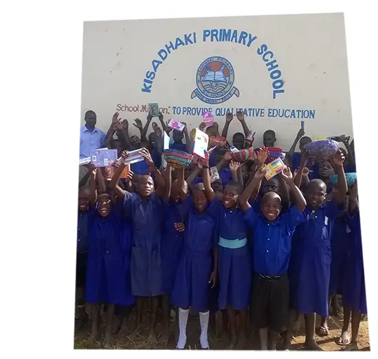
Group of Students at School -

Orange Monarch Butterfly with Detailed Wings -

Cartoon Kids Showing Friendship and Inclusion -

Happy Children Holding Hands -

Majestic Lioness in Motion -

Cartoon Boy with Backpack and Glasses -
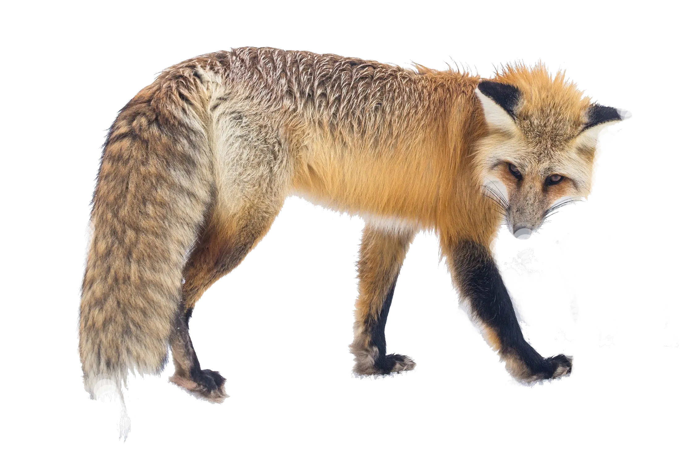
Majestic Red Fox in the Wild -

Cartoon Teacher with Book Illustration -
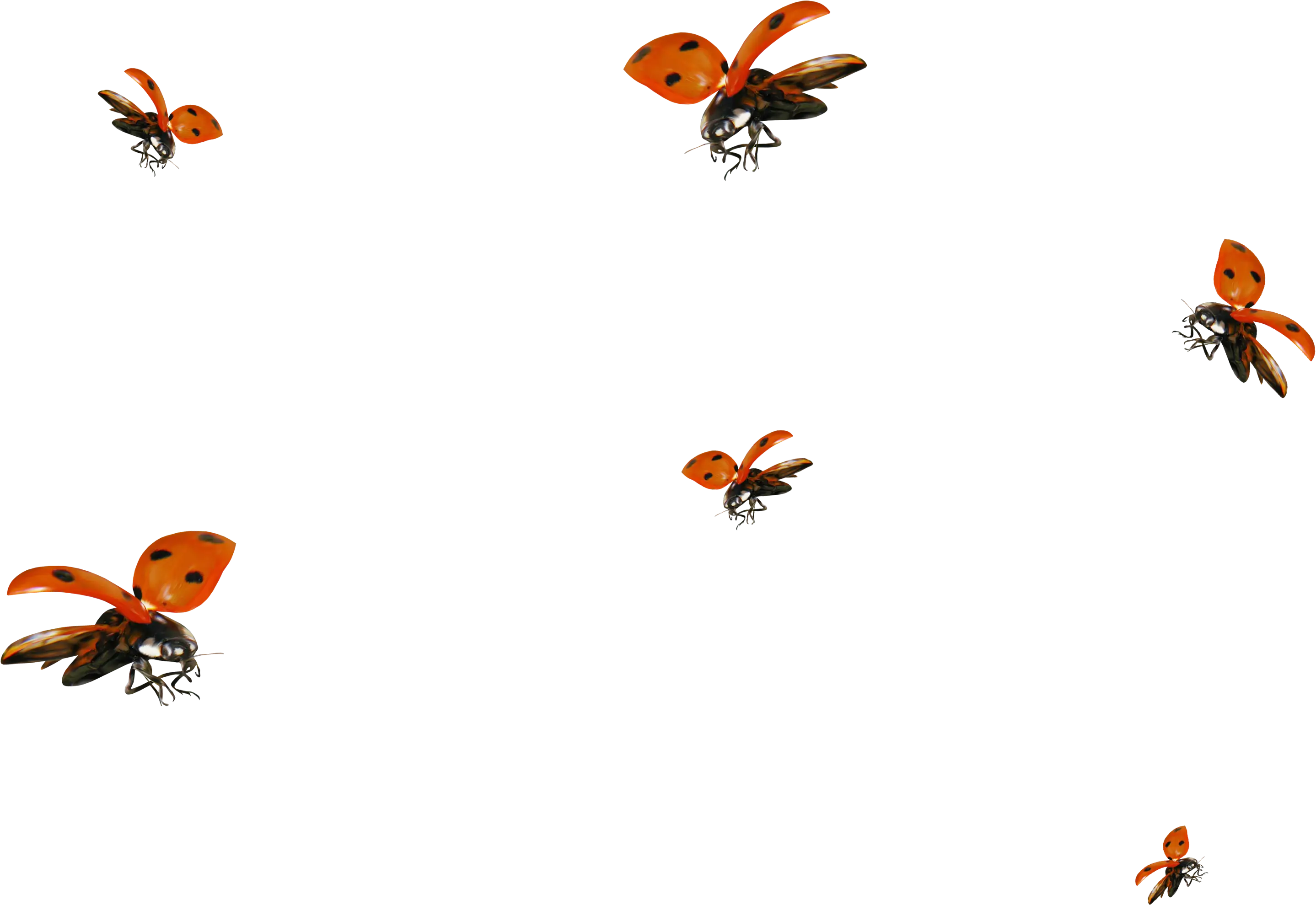
Group of Flying Ladybugs -

Ram with Horns Illustration -

Girl Reading Braille for World Braille Day -

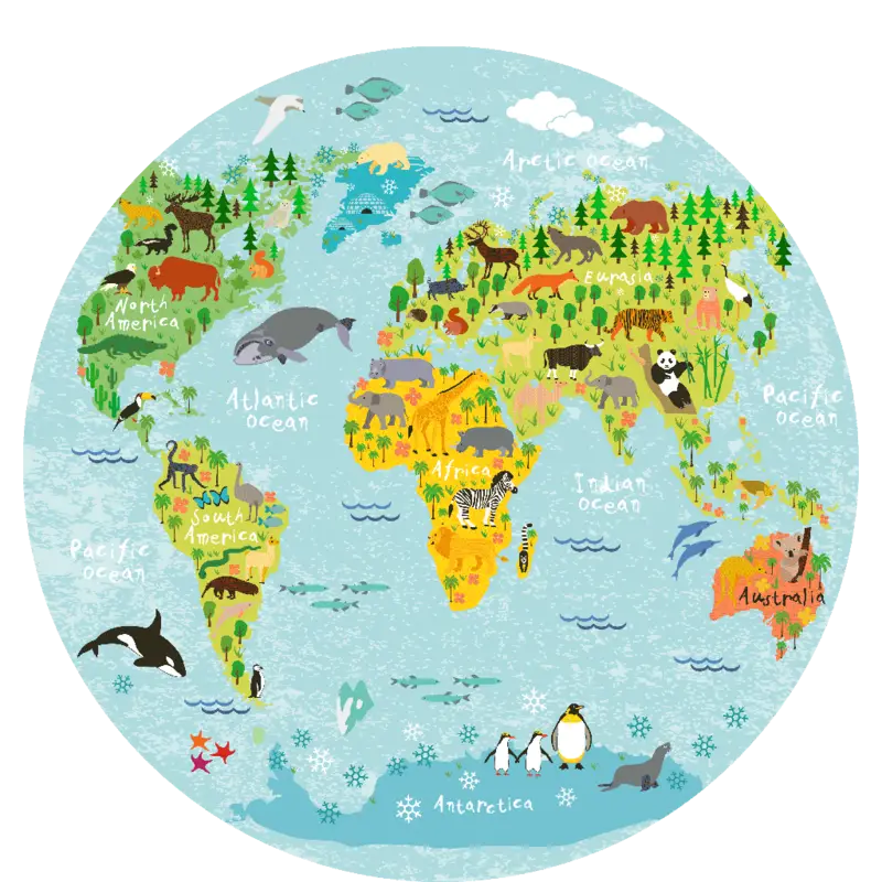
Complete Blue World Map -

Yellow Butterfly on Hand Illustration -
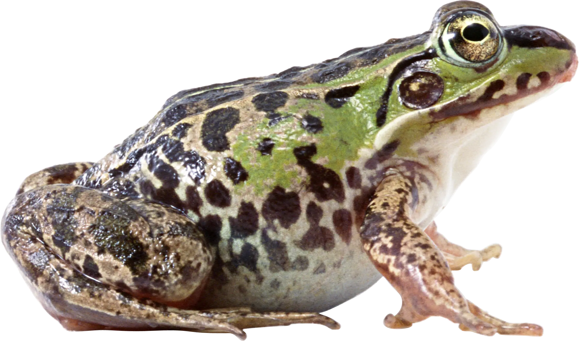
Green Spotted Frog with Realistic Details -

Bison or Buffalo Illustration in Black and White -
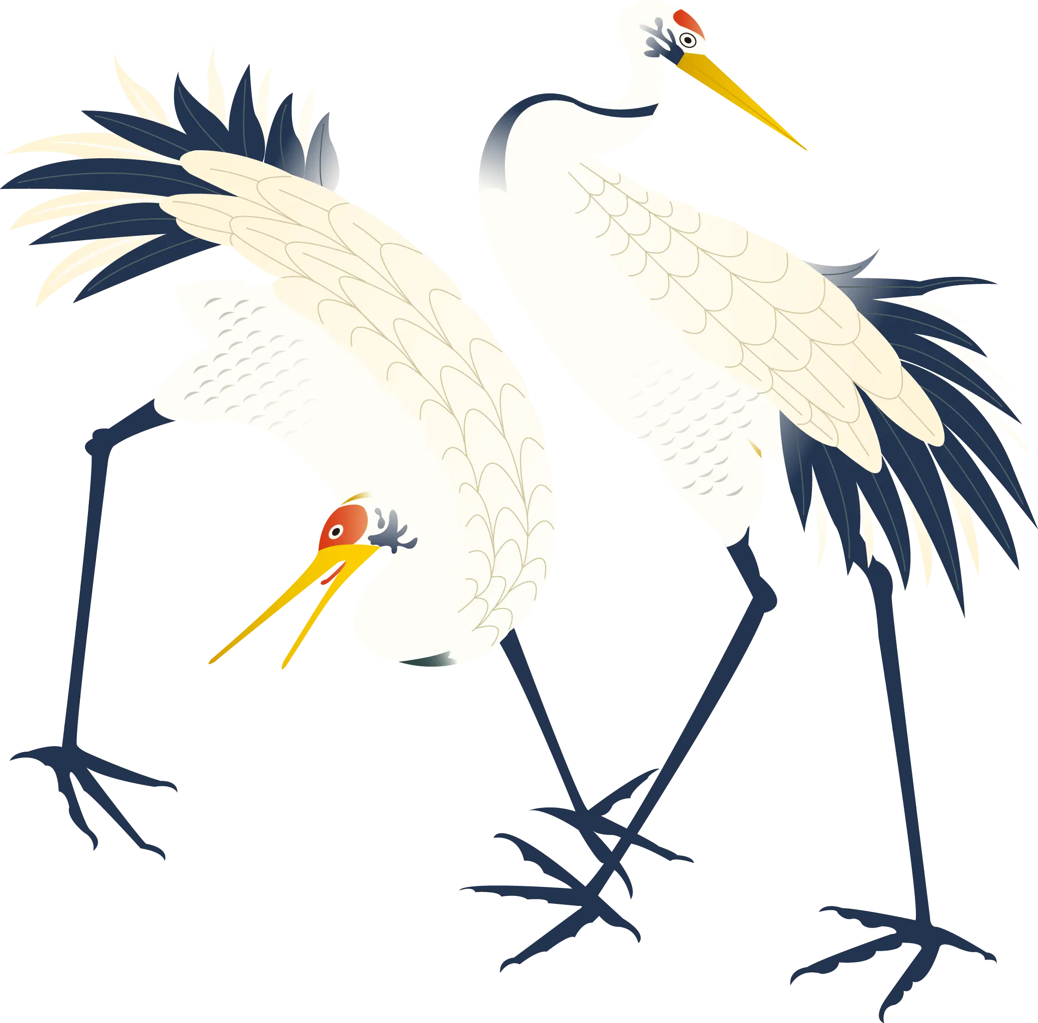
Elegant White Crane Illustration