You Might Like
-
Green Train Cartoon Illustration -

Colored Regional Map of Africa -
Decorated Colorful Tuk-Tuk Vehicle -
Airplane in Flight over the Sky -
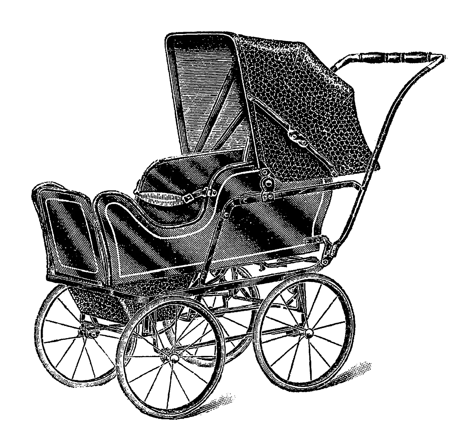
Antique Baby Stroller in Black and White -
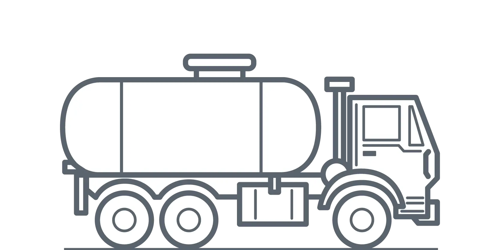
Tanker Truck Illustration in Outline Style -

Blue Globe with Continents Illustration -

Blue Globe Model for Geography Learning -

Map of the Soviet Union with Highlighted Regions -

Yellow and Pink Hot Air Balloons -
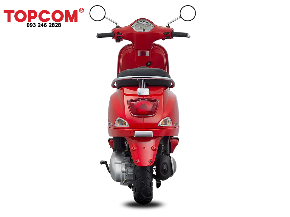
Red Electric Scooter -

Cartoon Boy with Backpack and Glasses -

Black Compass Rose for Navigation and Mapping -
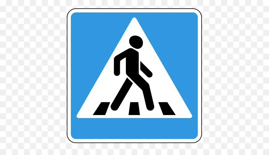
Pedestrian Crossing Road Sign Design -

Female Photographer with Camera on Adventure -
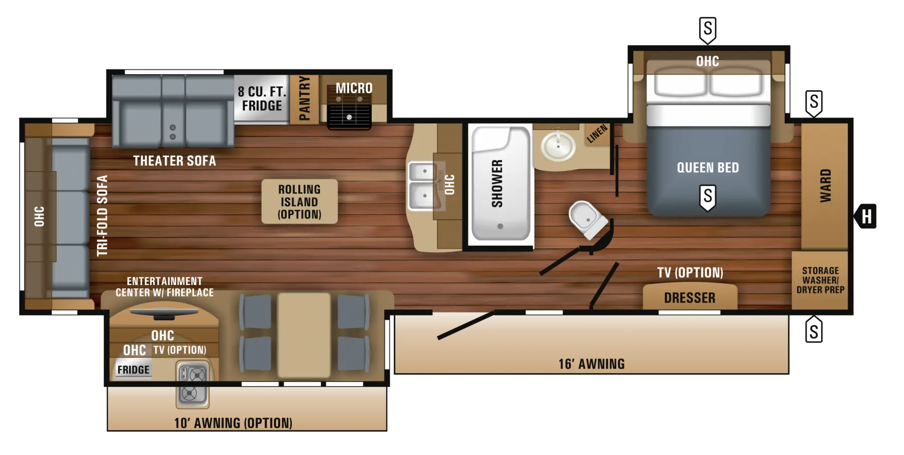
Floor Plan Layout for Home Construction -

Complete Blue World Map -

Insect Repellent Product Range -
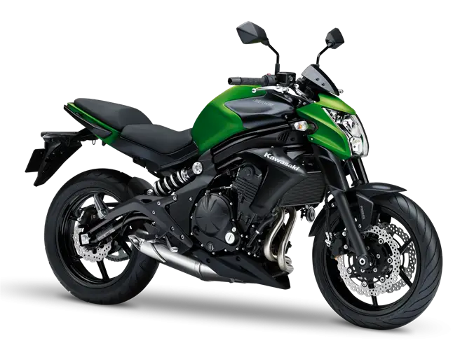
Green and Black Urban Motorcycle for Daily Commutes -

Red and White Striped Hot Air Balloon -

Flip-Flop with Seashells -
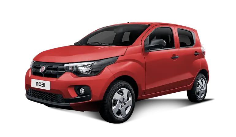
Red Compact Modern Car for Everyday Use -
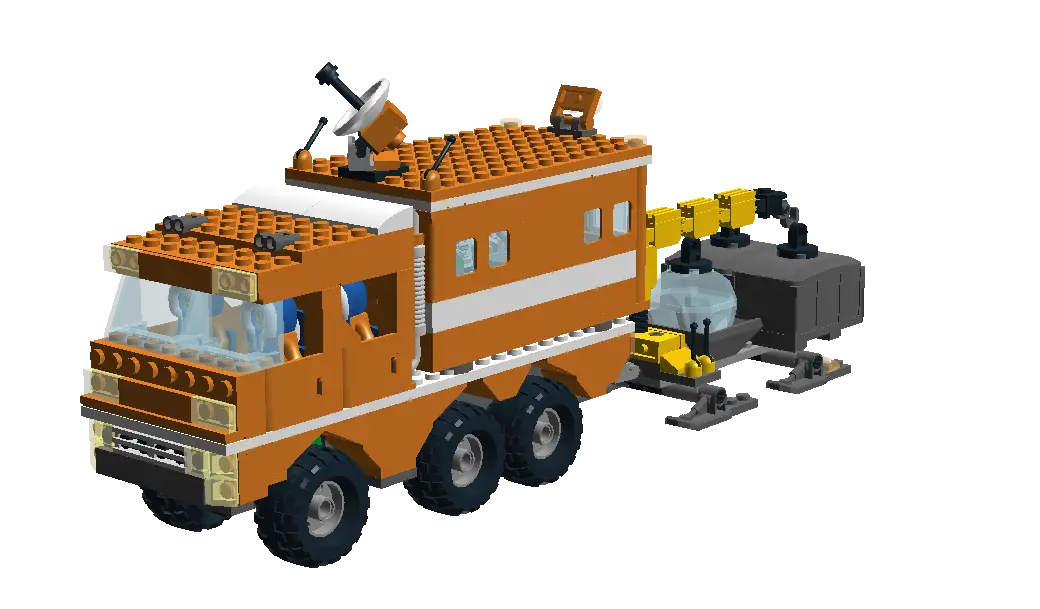
Lego Construction Truck -

Black Region Silhouette Map -
Silver Car for Family Transport -

Red Stop Traffic Sign -
Black Car Roof Rack Design -
Black SUV Car for Off-Road and Urban Travel -

3D Globe Illustration of Earth Model -
Black Suitcase with Batman Logo