You Might Like
-

Colored Regional Map of Africa -

Blue Globe with Continents Illustration -

Blue Globe Model for Geography Learning -

Map of the Soviet Union with Highlighted Regions -

Black Compass Rose for Navigation and Mapping -

Complete Blue World Map -
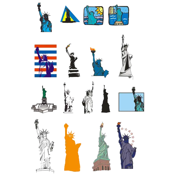
Various Illustrations of the Statue of Liberty -

Black Region Silhouette Map -

3D Globe Illustration of Earth Model -

Green Land Map Outline -

Map Highlighting Specific Regions -

Map of Turkey with Major Cities and Regions -
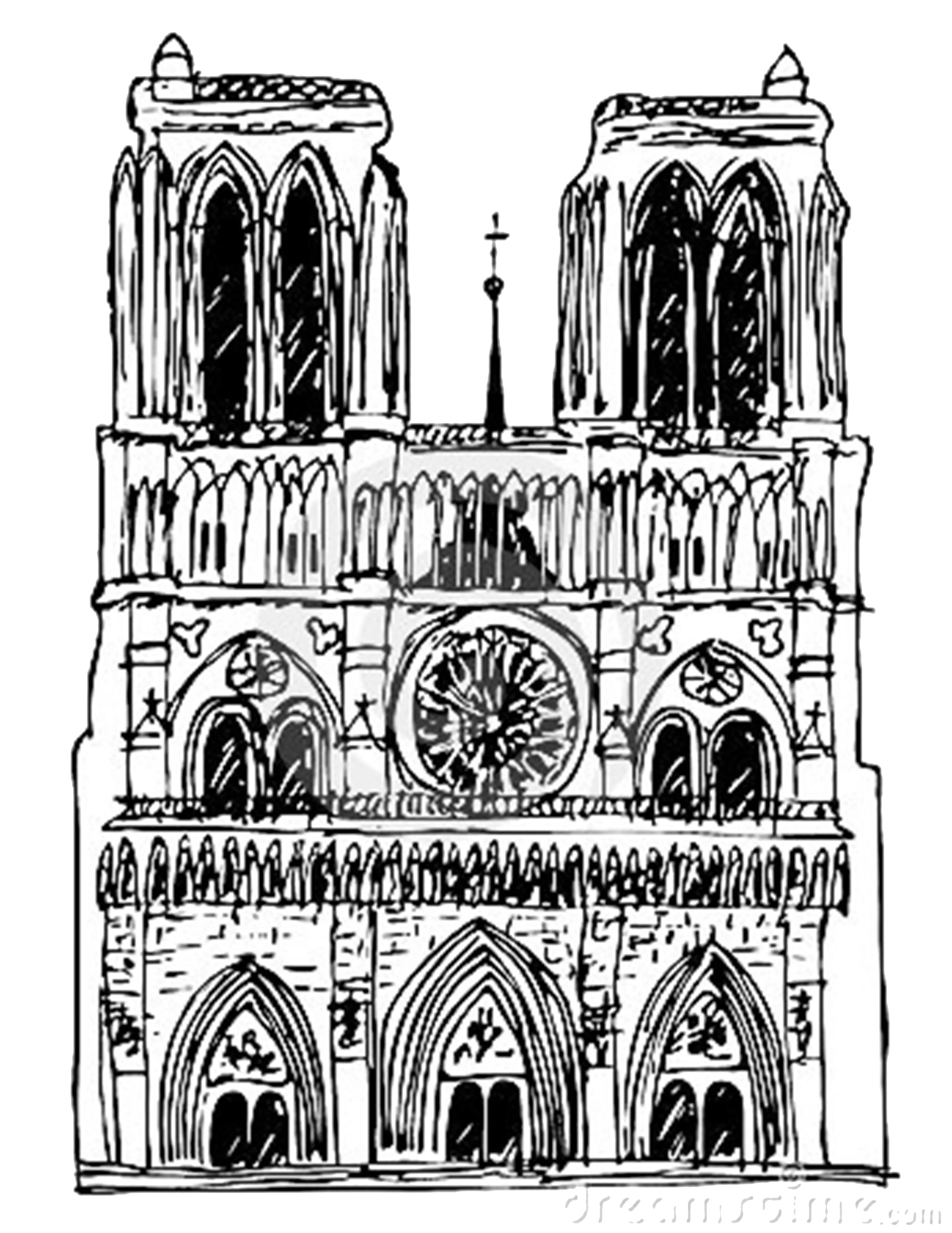
Detailed Sketch of a Cathedral -

Traditional Asian Pagoda -

Soviet Emblem with Red and Yellow Design -

Transparent World Map Design -

Eiffel Tower Illustration -

Campground Map for Outdoor Adventures -
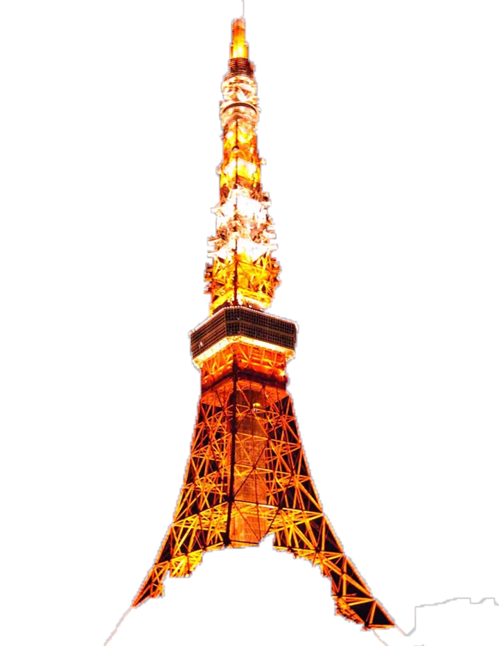
Illuminated Tower at Night -

Simple Navigation Map -
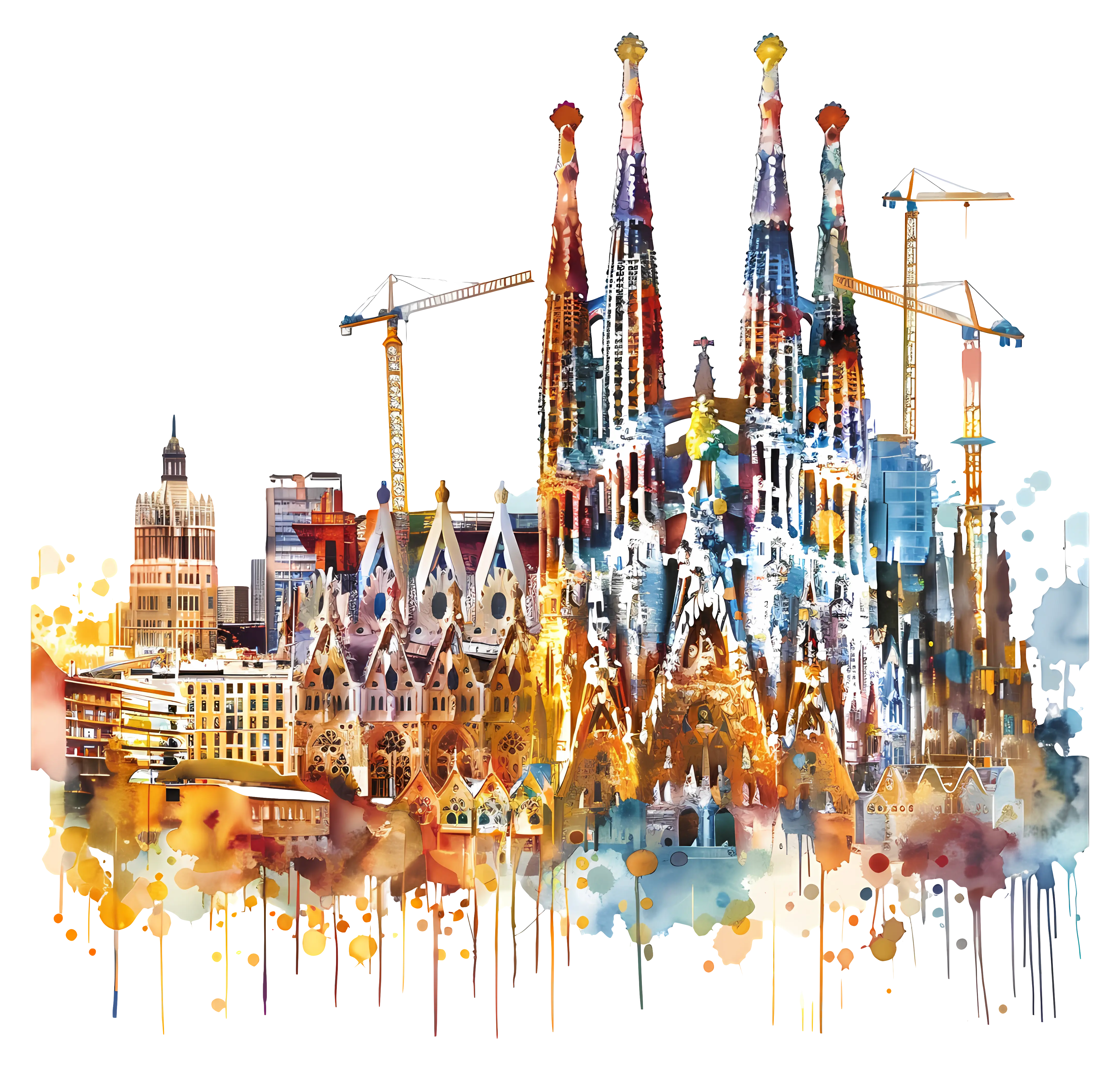
Sagrada FamÃlia Watercolor Illustration -

Map Outline of Slovenia -

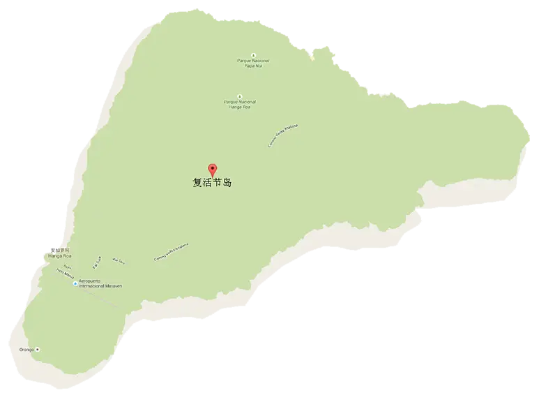
Yellow Location Pin with Island Icon -

Map of Russia with Red, White, and Blue Flag Colors -

Red Globe Pin Illustration -

Eiffel Tower in Paris -

Map of Vietnam -

Gray Map Silhouette on Transparent Background -

Colorful World Map Globe Representation -

Video Game Dungeon Map Layout