You Might Like
-

Colored Regional Map of Africa -
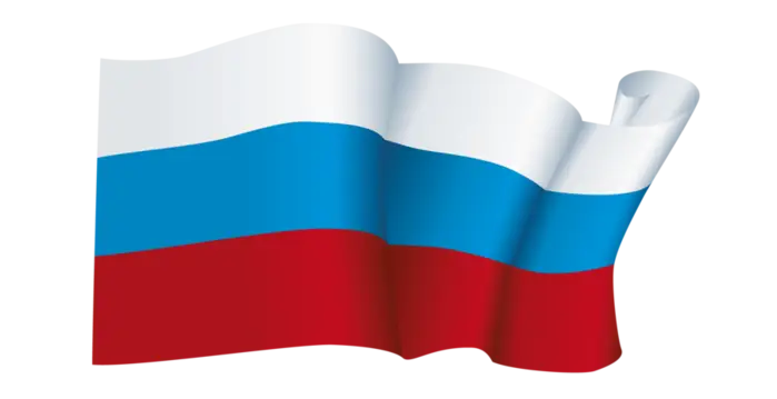
Russian Flag -

Blue Globe with Continents Illustration -

Blue Globe Model for Geography Learning -

Map of the Soviet Union with Highlighted Regions -

Panama National Flag -

Black Compass Rose for Navigation and Mapping -
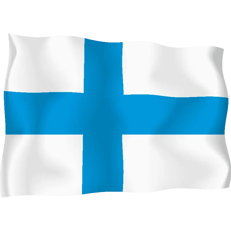
Blue Cross National Flag Illustration -

Complete Blue World Map -
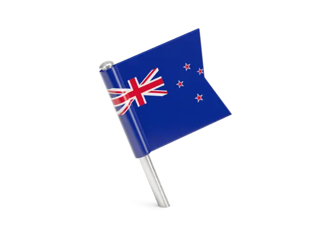
New Zealand National Flag with Southern Cross -

Black Region Silhouette Map -

American Flag Icon -

3D Globe Illustration of Earth Model -

Green Land Map Outline -

Map Highlighting Specific Regions -

Map of Turkey with Major Cities and Regions -

Soviet Emblem with Red and Yellow Design -

Transparent World Map Design -

Campground Map for Outdoor Adventures -

Simple Navigation Map -

Map Outline of Slovenia -

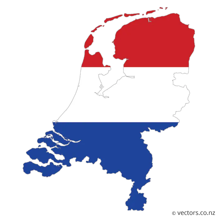
Map of Russia with Red, White, and Blue Flag Colors -

Red Globe Pin Illustration -

United States National Flag with Stars and Stripes -

Map of Vietnam -

Gray Map Silhouette on Transparent Background -

Colorful World Map Globe Representation -

Video Game Dungeon Map Layout -
The National Flag of Ghana -
Moldova National Coat of Arms