You Might Like
-

Colored Regional Map of Africa -

Black Compass Rose for Navigation and Mapping -

Red and White Striped Hot Air Balloon -

Transportation Logistics with Global Shipment -

American Flag Icon -

Wavy American Flag Illustration -

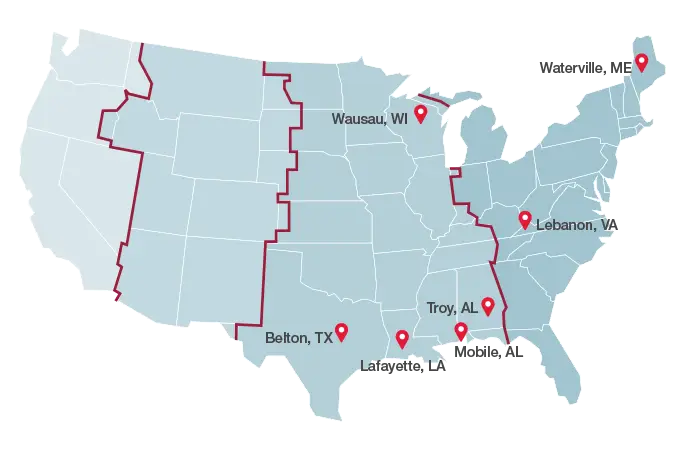
Map Highlighting Specific Regions -

Map of Turkey with Major Cities and Regions -

Illustration of the USA Flag -

Campground Map for Outdoor Adventures -

Map with Multiple Green Location Pins -

National Salute America's Heroes Logo -

Simple Navigation Map -

Eagle Illustration with American Flag Theme -

Map of Russia with Red, White, and Blue Flag Colors -

Red Globe Pin Illustration -

United States National Flag with Stars and Stripes -

Crossed USA and UK Flags for National Symbols -

Map of Vietnam -

Gray Map Silhouette on Transparent Background -

Patriotic Ribbon Bow for Celebrations -

Video Game Dungeon Map Layout -

Blue Map of Germany with Regions -

Patriotic Hat for Presidents Day Celebration -

Classic Compass Rose Navigation Symbol -

USA Styled Patriotic Decorative Text -
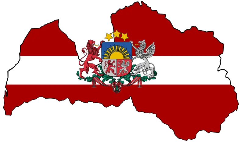
Latvian Map with Country Flag Integration -
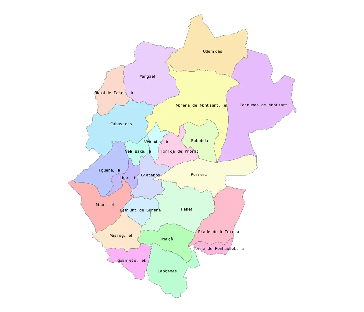
Color-Coded Map of Regional Divisions -

HDMI Splitter Cable -
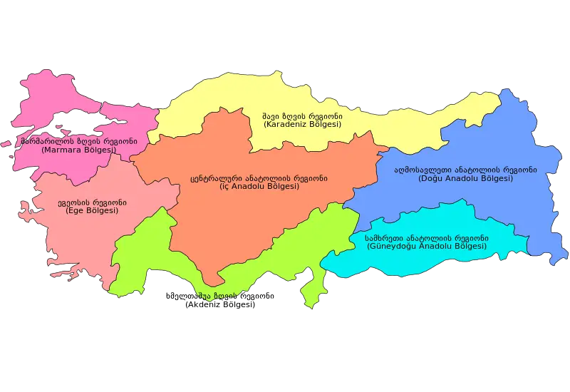
Colorful Regional Map of Turkey