Free Regions Cliparts and Illustrations
Free 70 regions cliparts & illustrations for your personalized works, such as town councils of singapore map, blue map of germany with regions, illustrated map of germany with regions, world map with colored regions and many more.
-
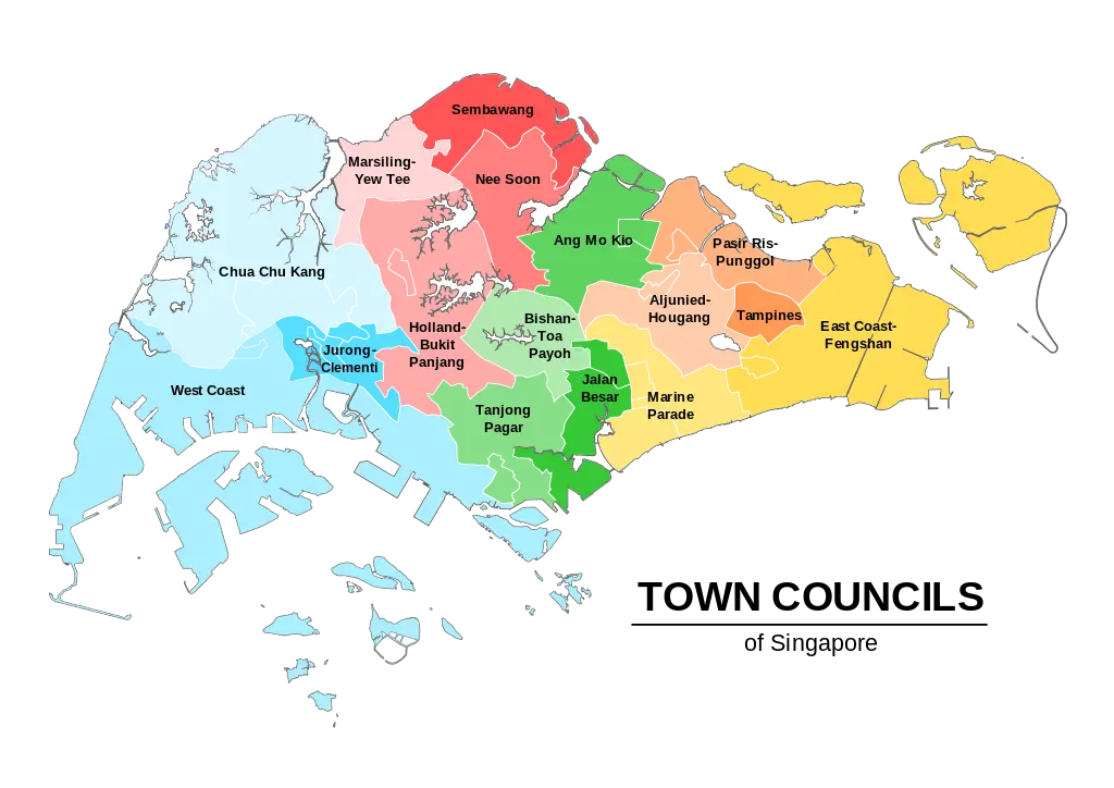
Town Councils of Singapore Map -

Blue Map of Germany with Regions -
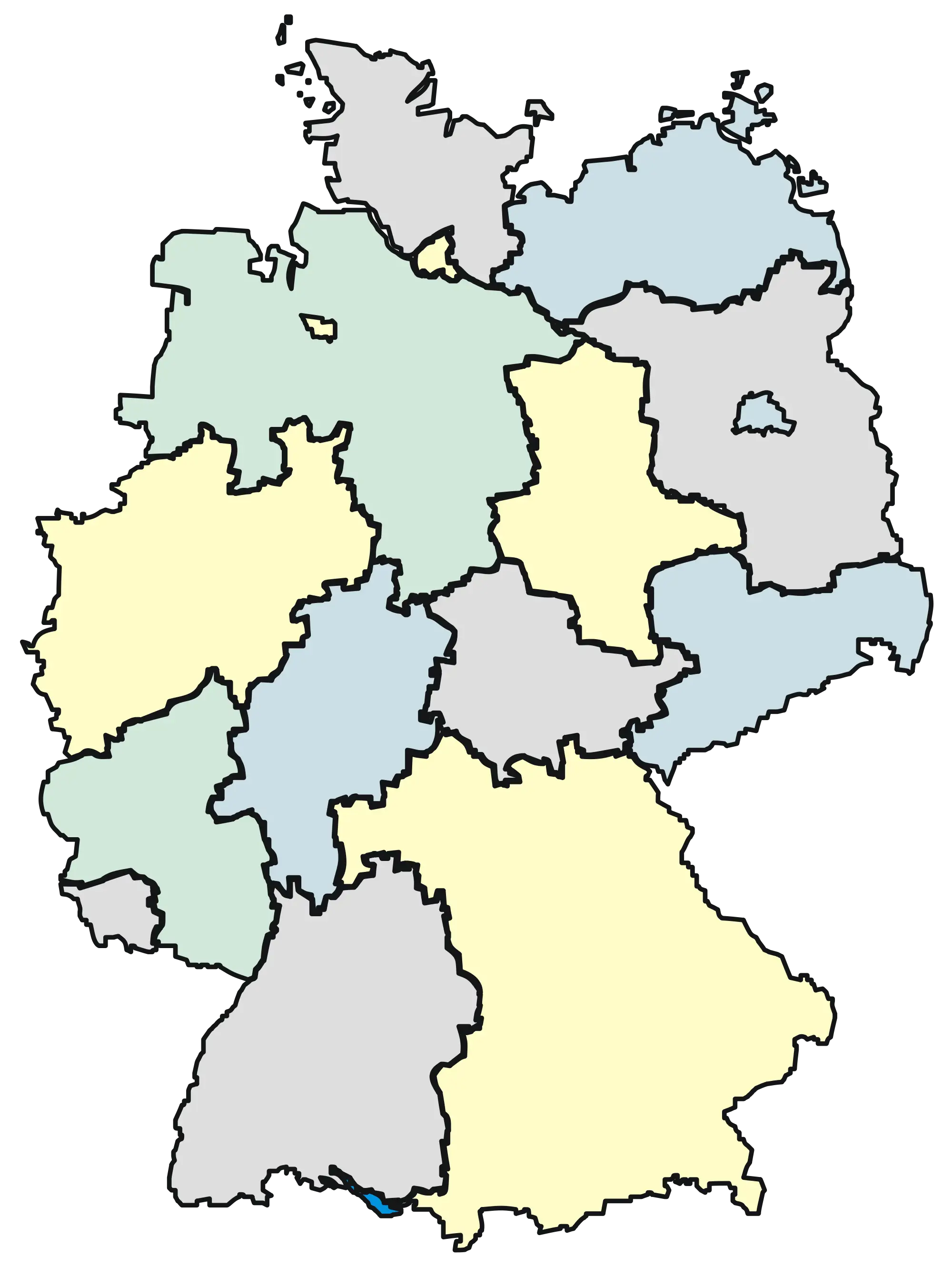
Illustrated Map of Germany with Regions -
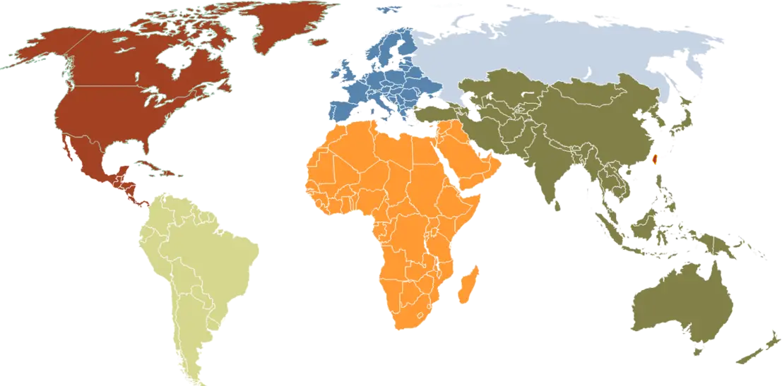
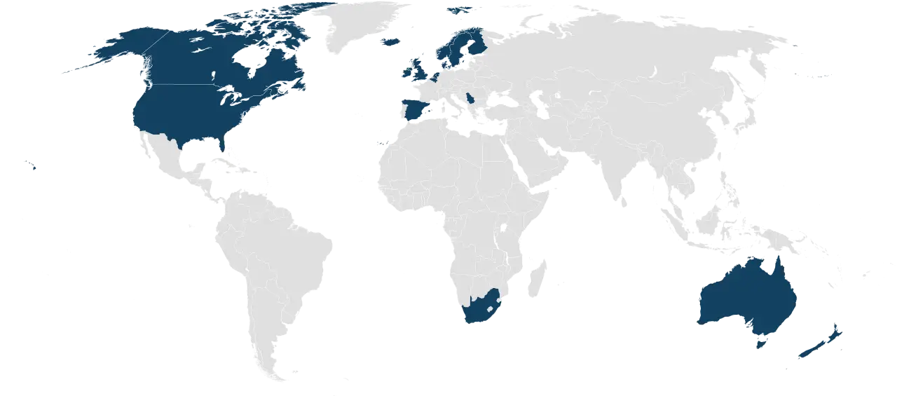
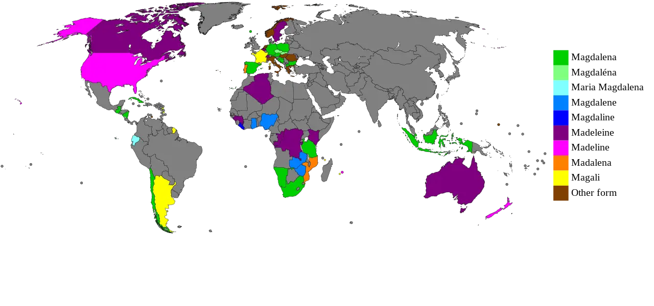
World Map with Colored Regions -
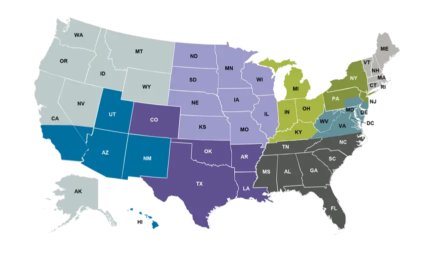
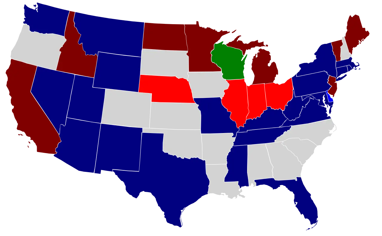
Colorful Map of USA Showing States by Regions -
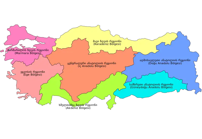
Colorful Regional Map of Turkey -
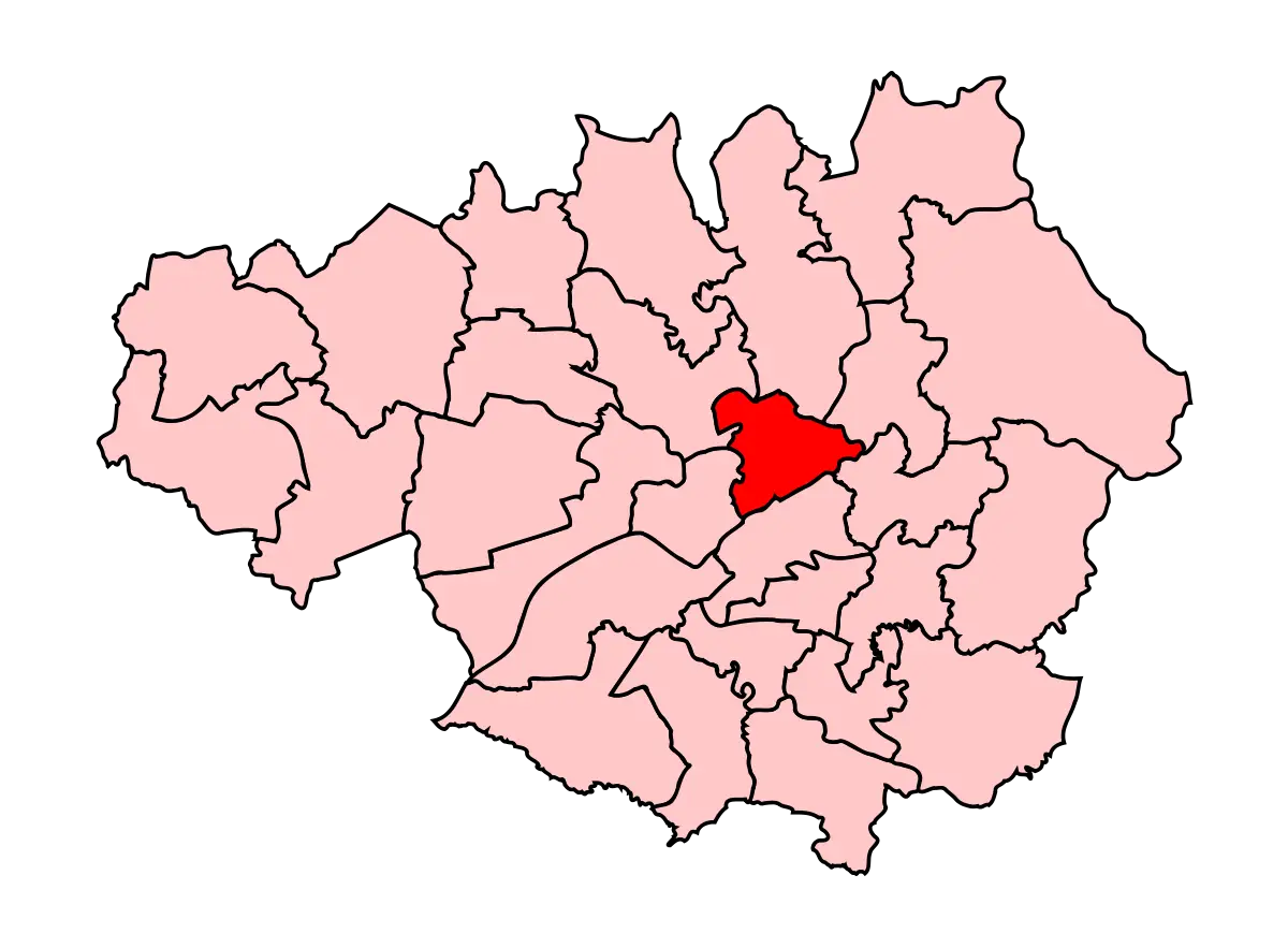
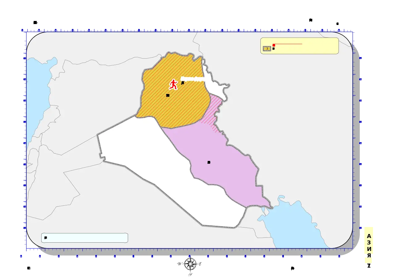
Map with Highlighted Region in Red -
Geographic Region Map with Highlighted Area -
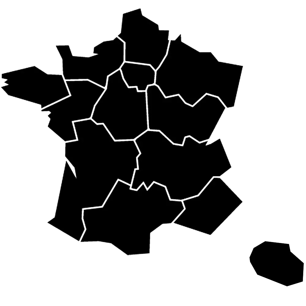
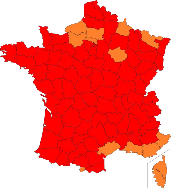
Map of France with Regions -
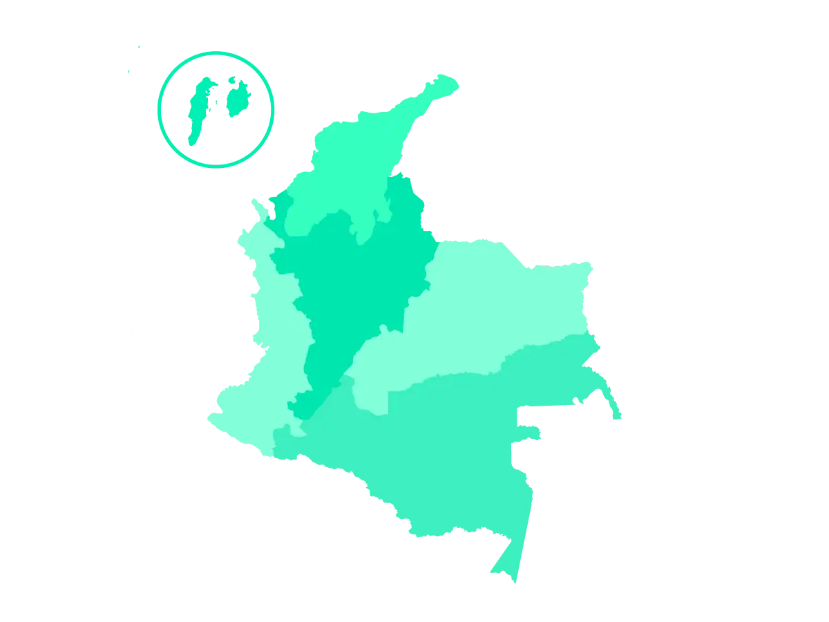
Map of Colombia -
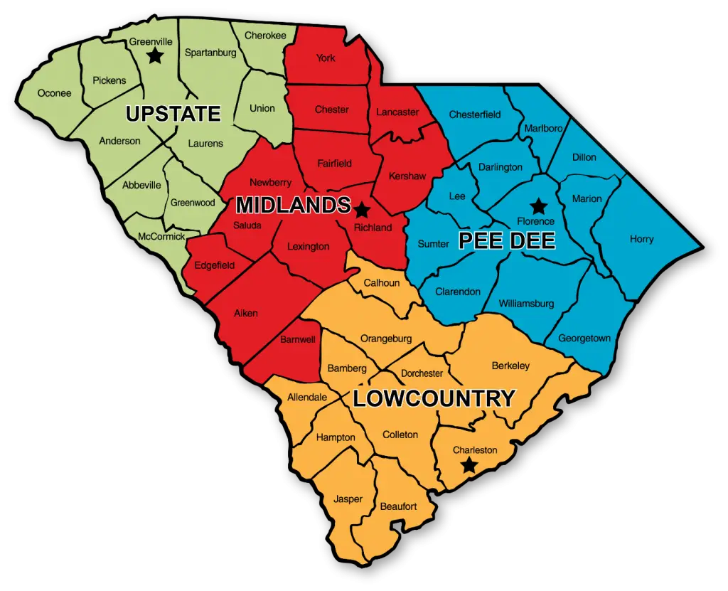
South Carolina Region Map -
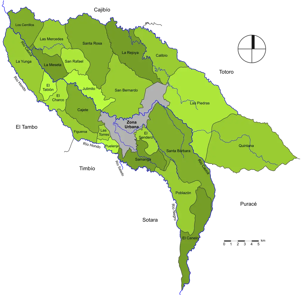
Geographical Map of Regions -
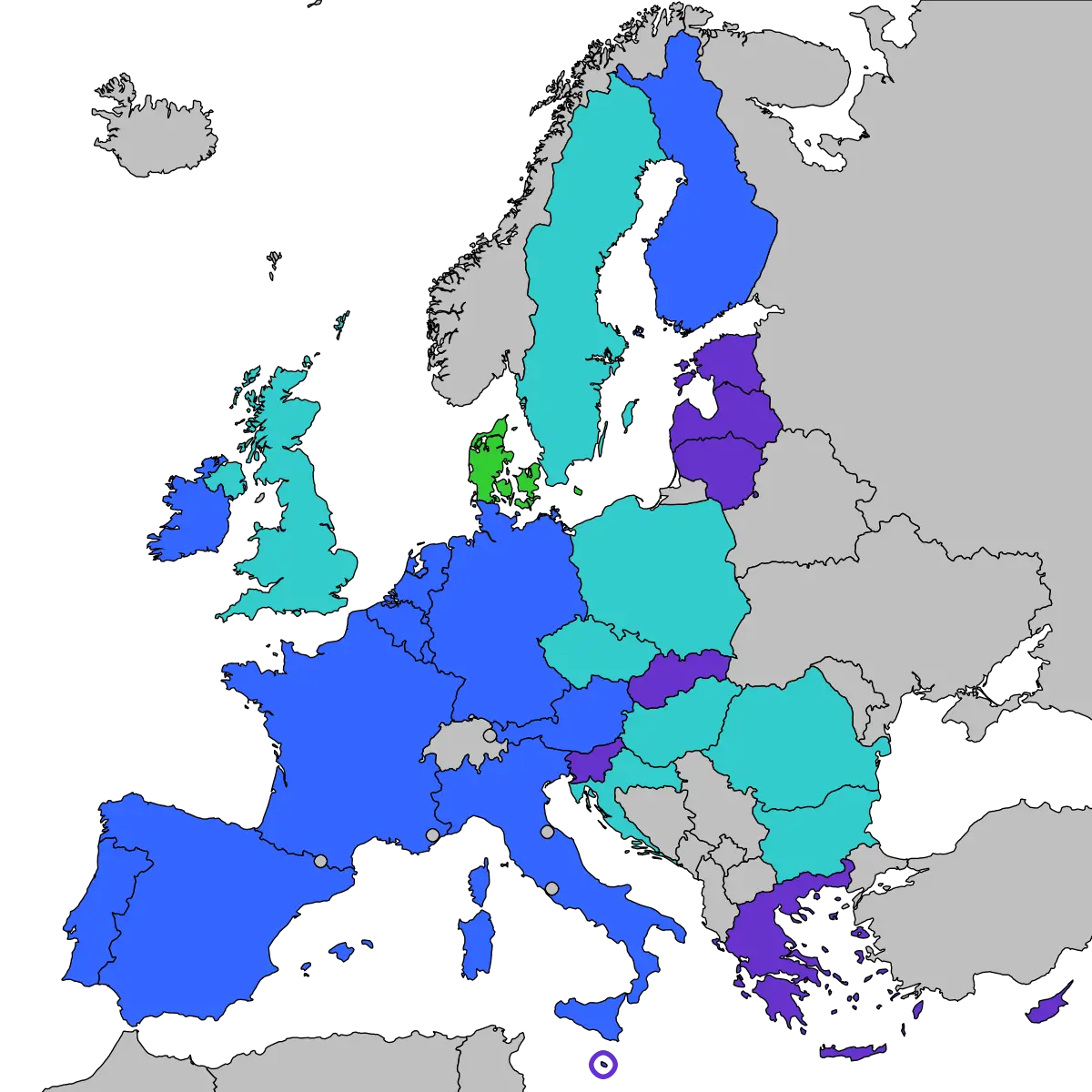
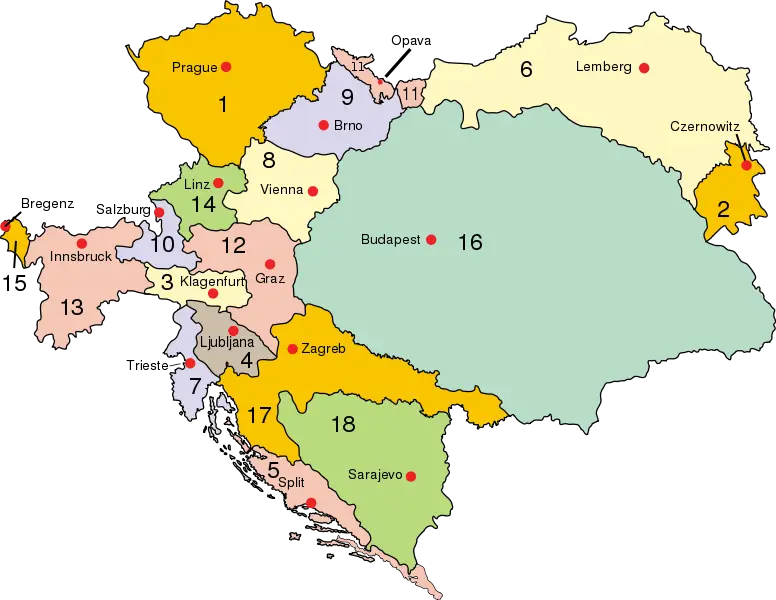
Map of Europe with Country Highlights -
Illustrated Map of France with Regions Highlighted -
Map of Regions with Boundaries -
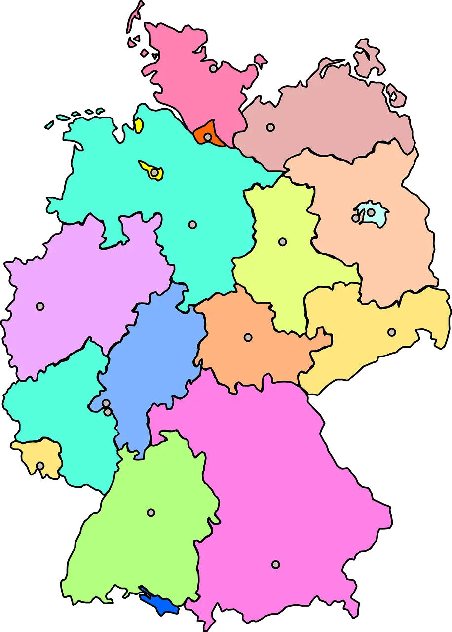
Colorful Map of Germany with Regions -
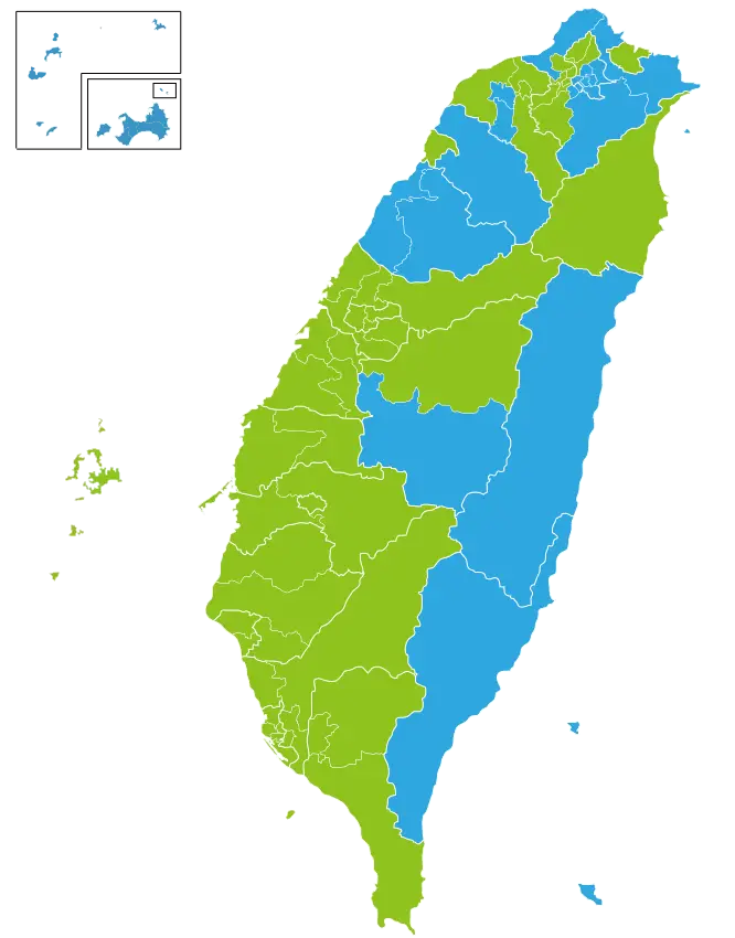
Colorful Map of Taiwan's Regions -
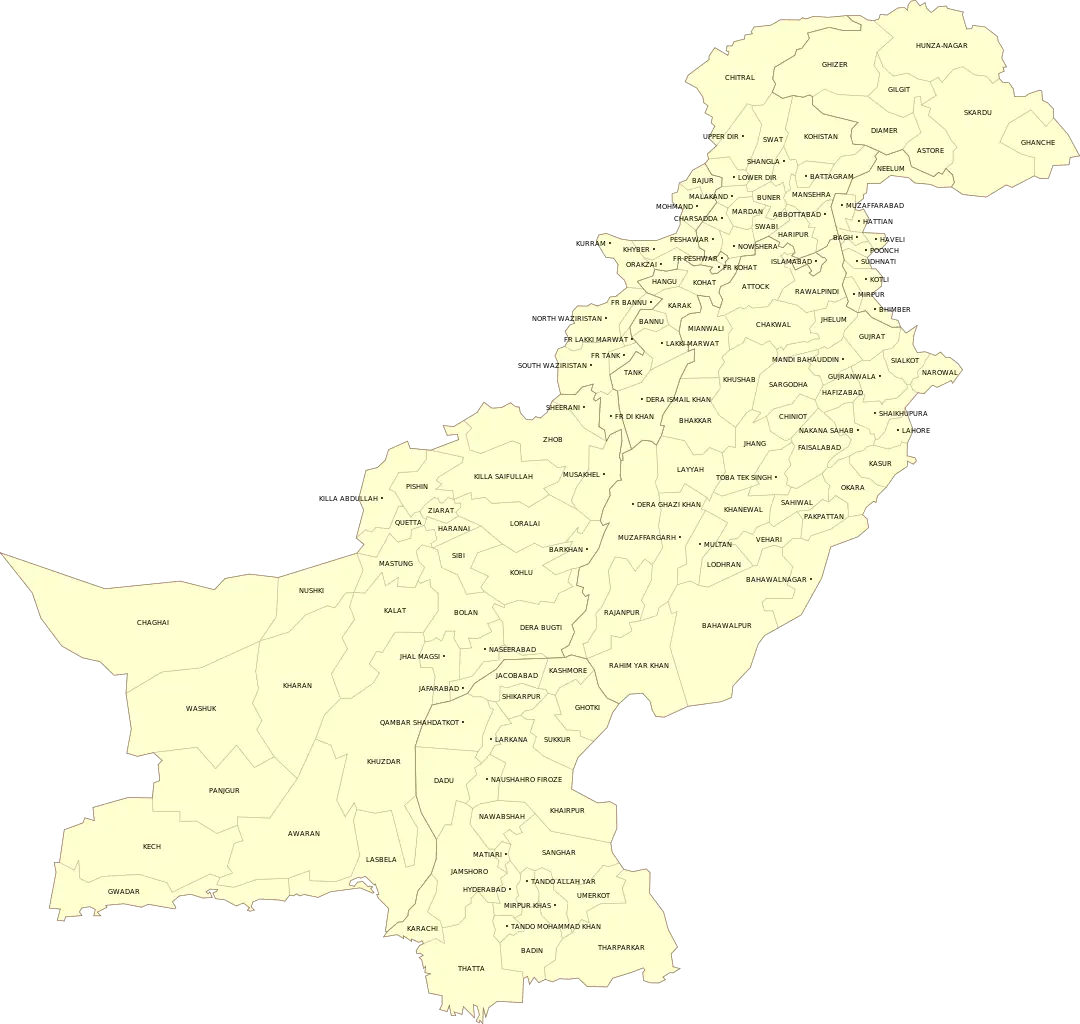
Yellow Map of Pakistan with Regional Labels -
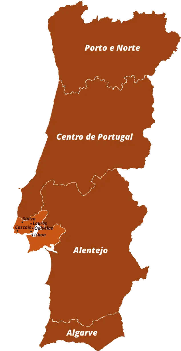
Map of Portugal with Regions -
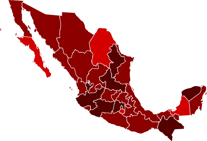
Map of Mexico with Regions Highlighted -
Map of Regions and Districts -
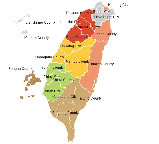
Political Map of Taiwan with Regions -
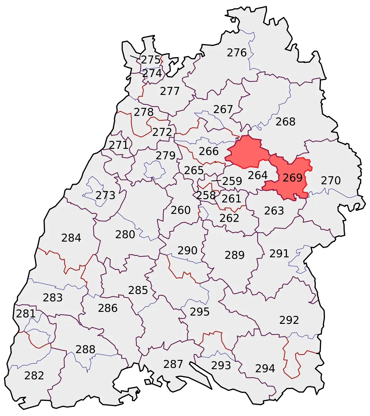
Country Region Map with Highlighted Area -
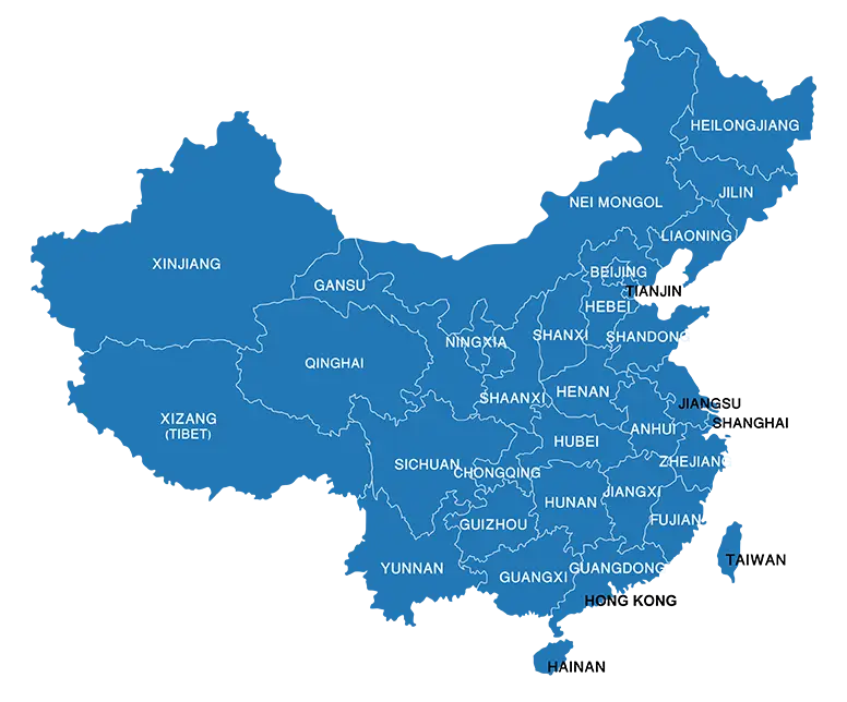
Blue Map of China with Provincial Divisions -
Simplistic World Map Graphic with Highlighted Regions -
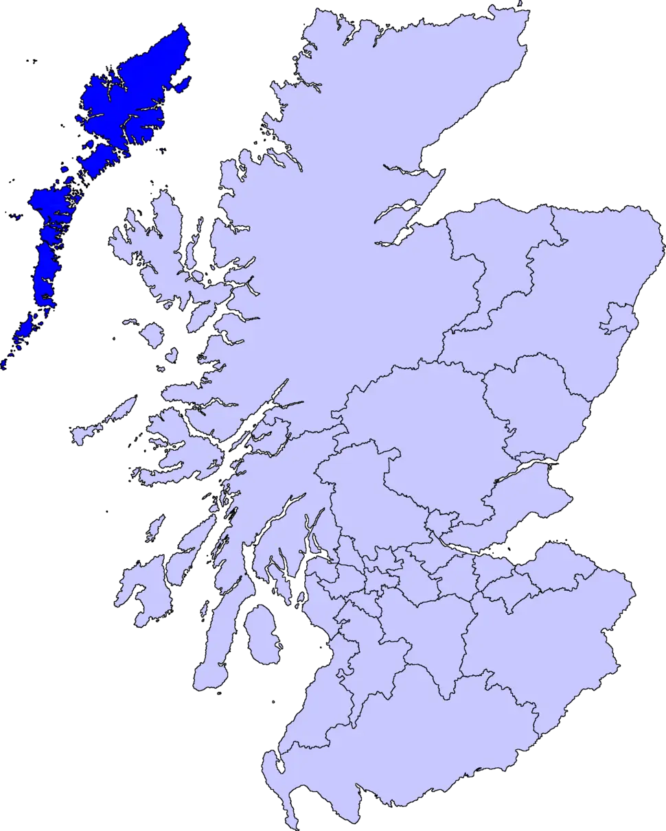
Map of Scotland with Regional Divisions -
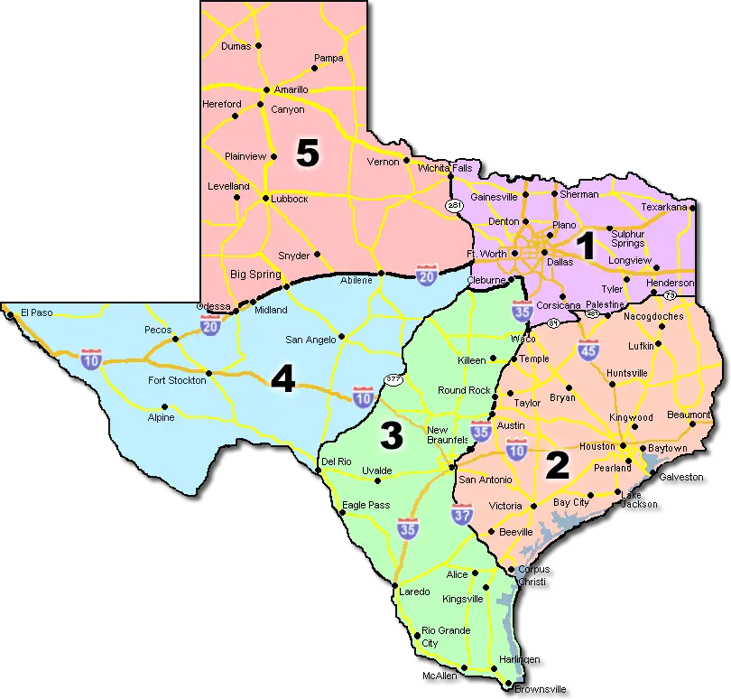
Map of Texas with Regions -
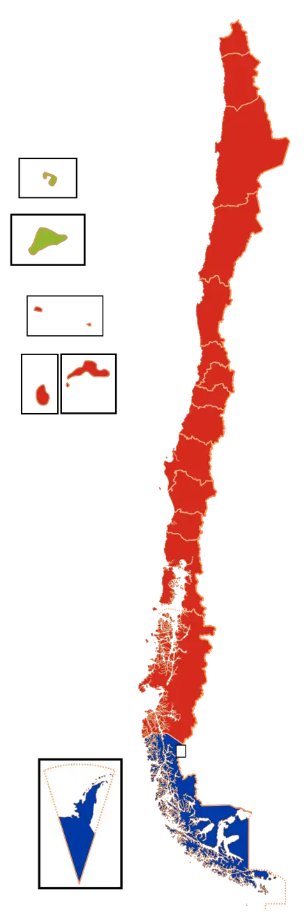
Map of Chile -

Colored Regional Map of Africa -

Map of Turkey with Major Cities and Regions -

Map Highlighting Specific Regions -
Color-Coded Map of Regional Divisions -
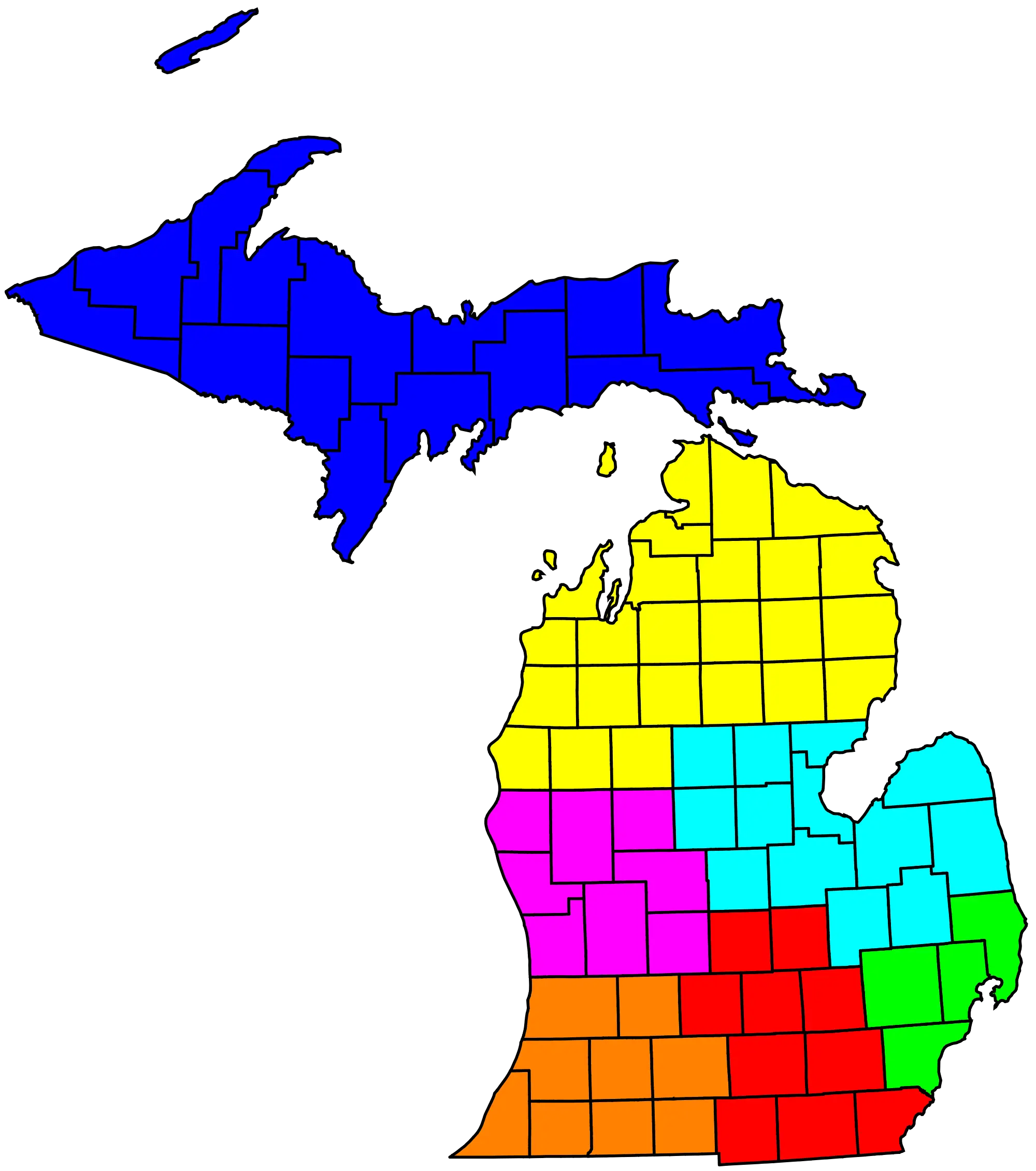
Colorful Map of Michigan -
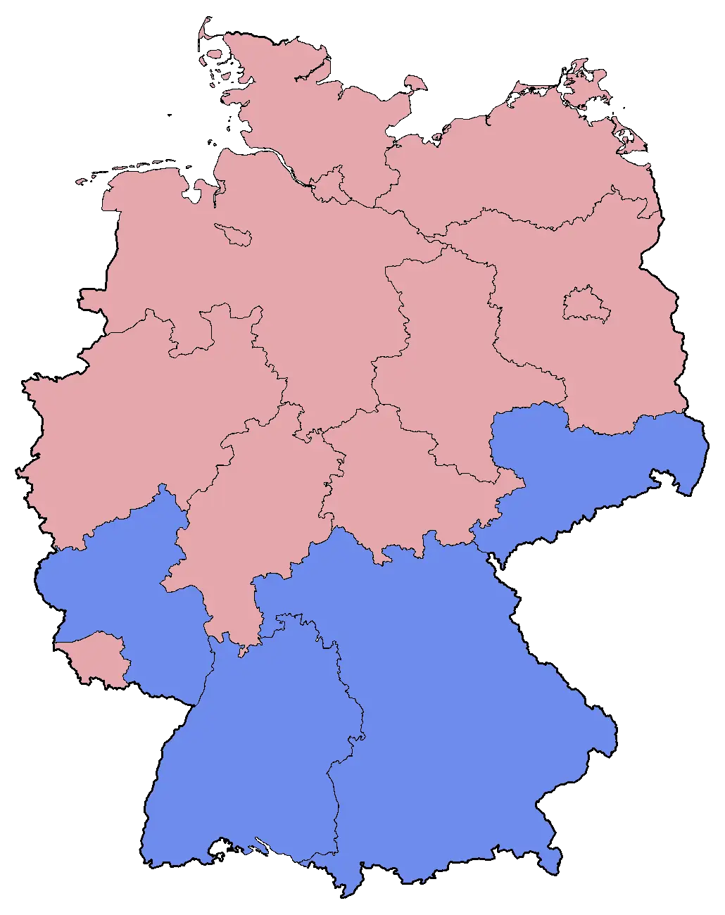
Colored Map of Germany with Regional Divisions -
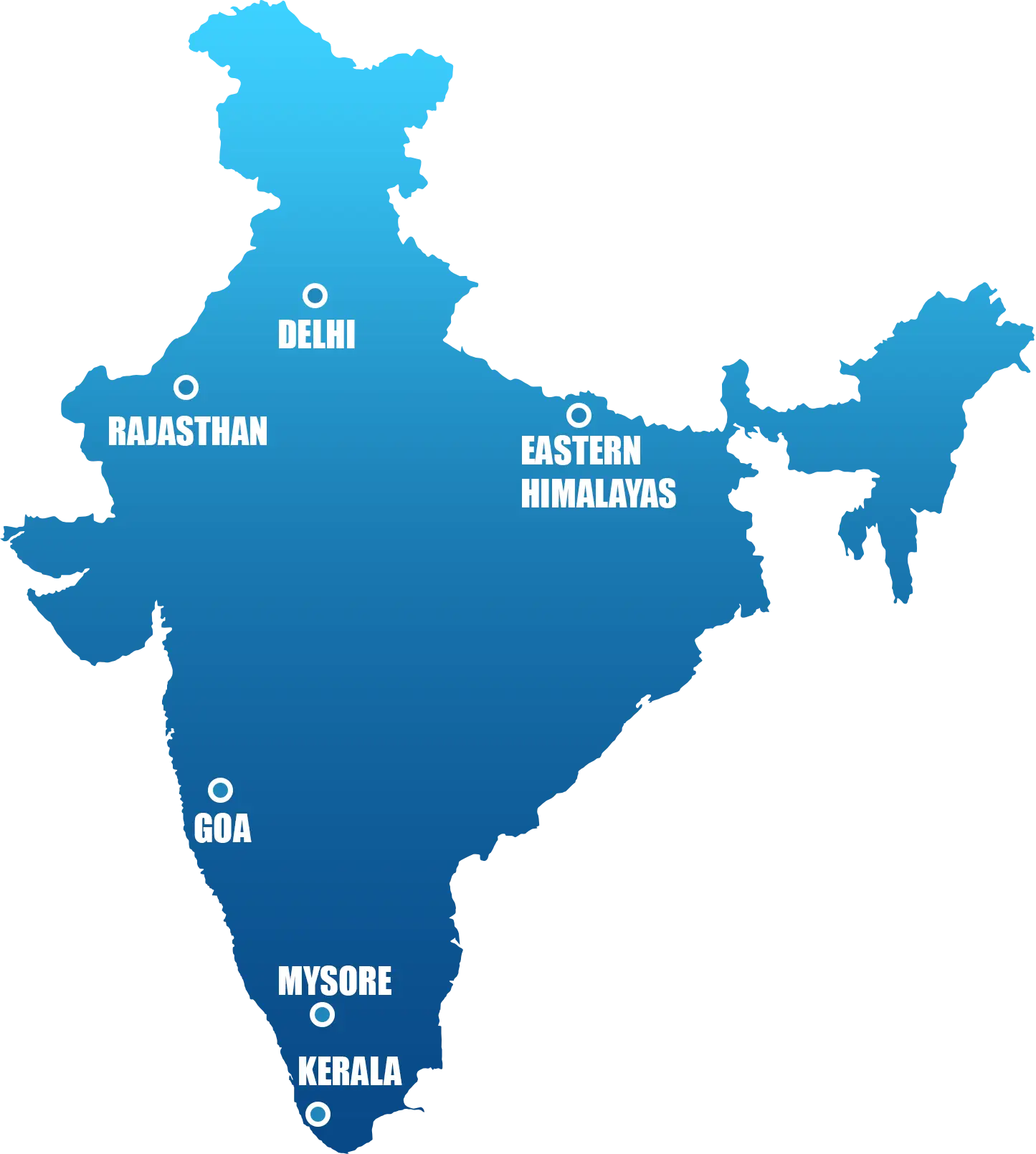
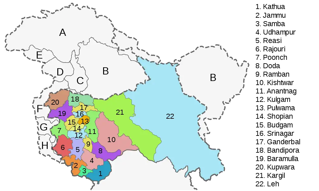
Map of India with Regions -
Political Map with Regions and Boundaries -
Colored World Map for Geographic Representation -
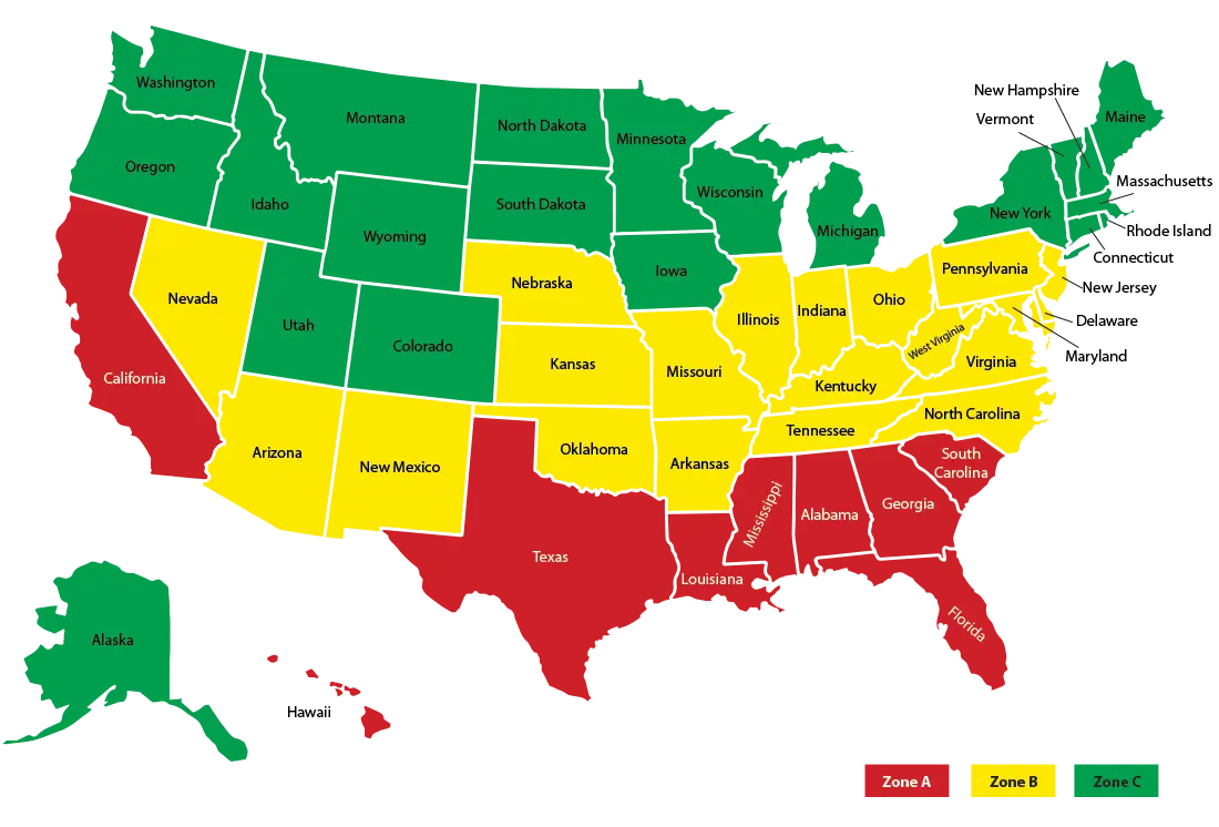
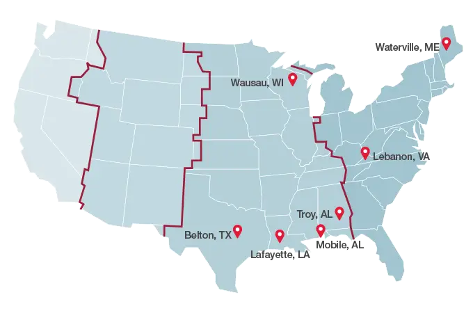
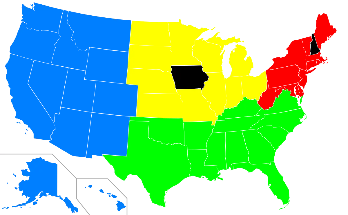
Color-Coded Map of the United States Regions -
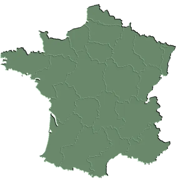
Green Map of France with Regions -
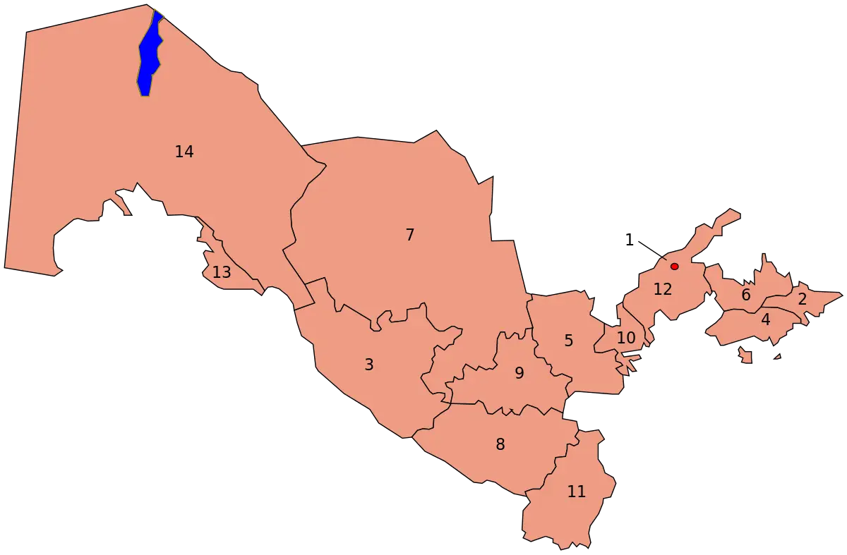
Map of Uzbekistan with Regions -
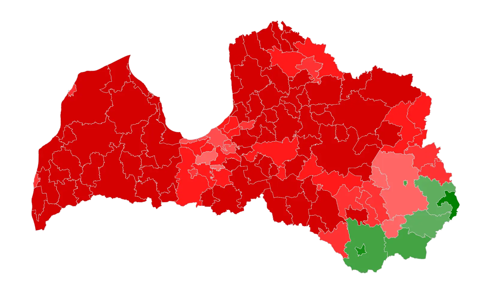
Political Map of Latvia with Regional Colors -
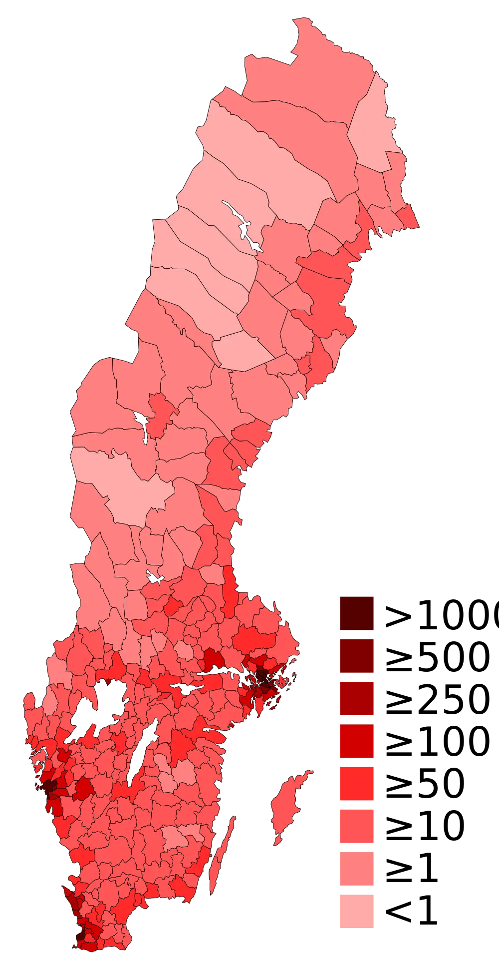
Population Density Map of Sweden -
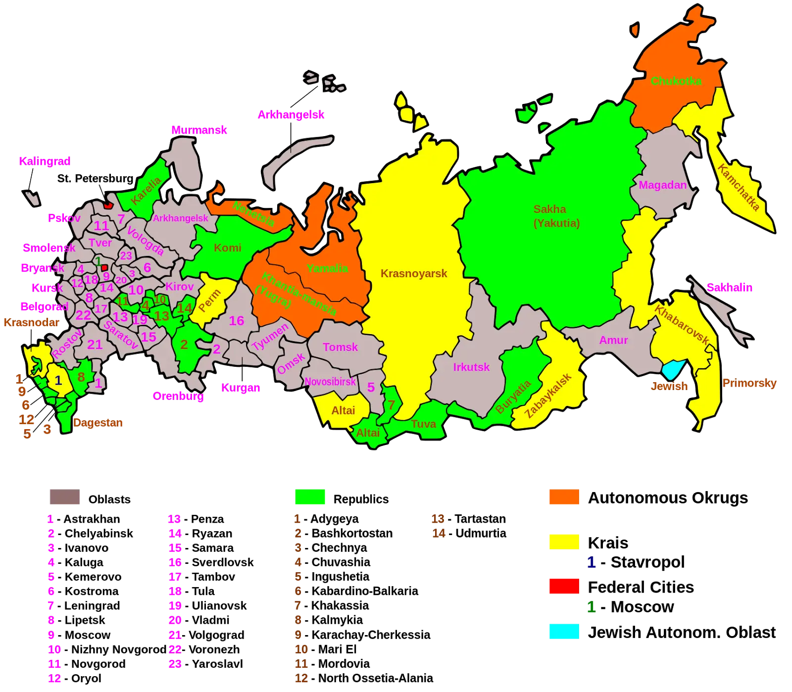
Map of Russian Regions with Colorful Divisions -
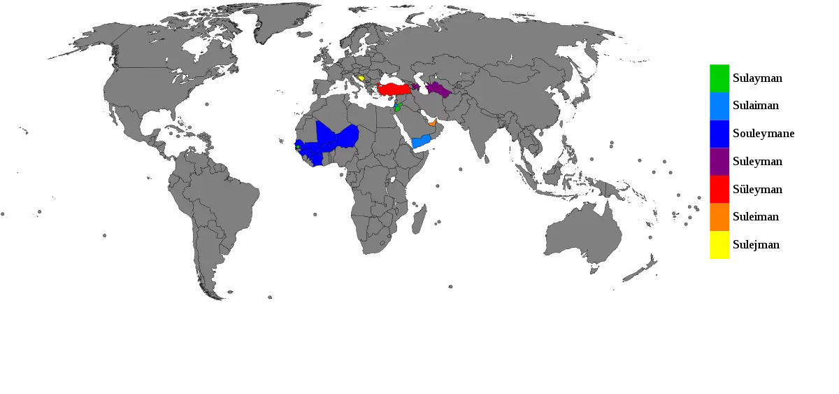
World Map with Highlighted Regions -
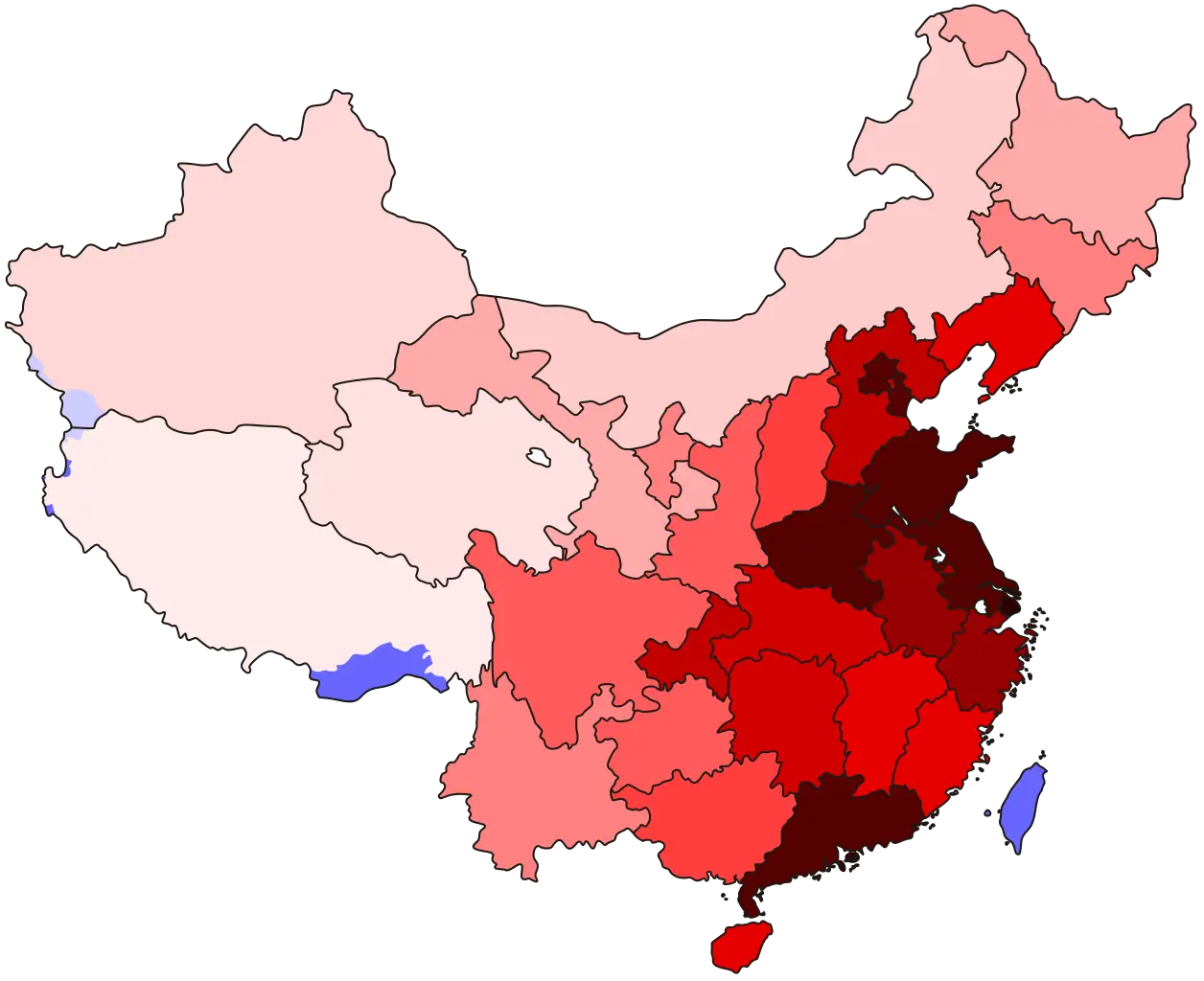
Map of China with Regions -
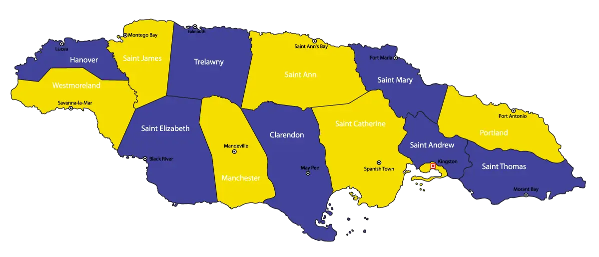
Map of Jamaica with Regions -
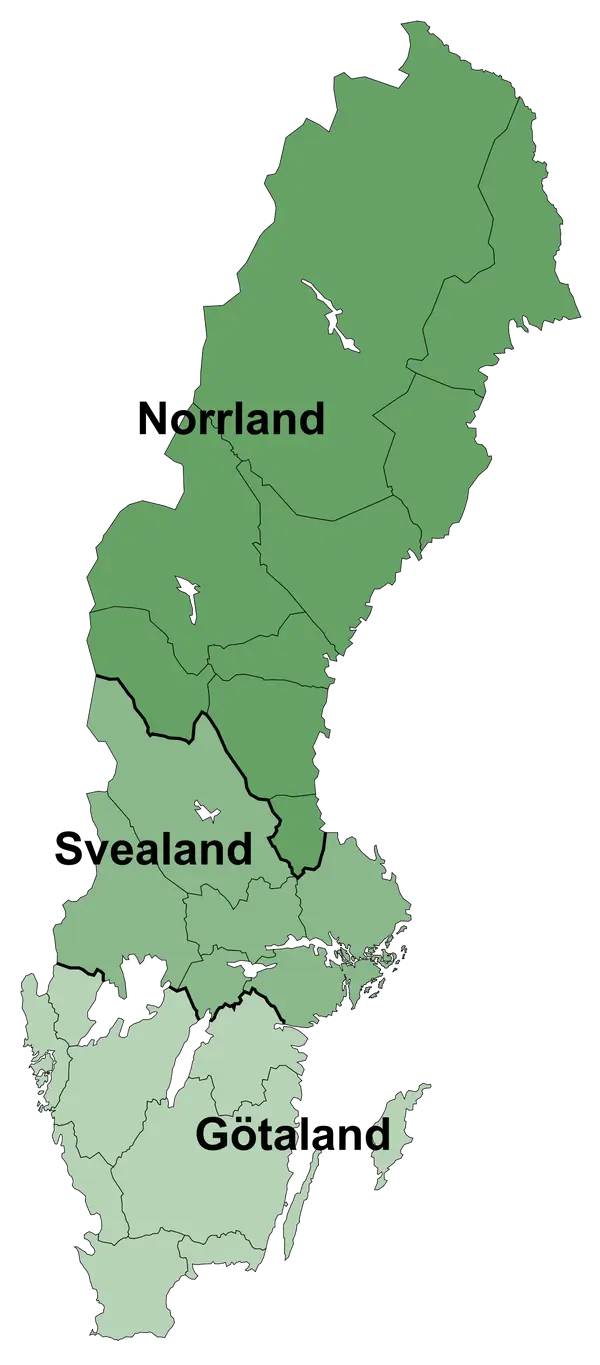
Map of Sweden with Regions -
United States Map with Location Pins -
Color-Coded Map of the USA States -
Color-Coded Regional Map of the USA