You Might Like
-

Colored Regional Map of Africa -

Woman Portrait in Orange Outfit -

Blue Globe with Continents Illustration -

Blue Globe Model for Geography Learning -

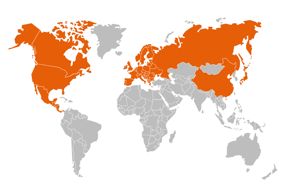
Map of the Soviet Union with Highlighted Regions -

Orange Monarch Butterfly with Detailed Wings -

Orange Cartoon Fish Drawing -
Halloween Potion Bottle with Spider Web -

Black Compass Rose for Navigation and Mapping -

Minimalist Orange Circular Logo -
Group of Flying Ladybugs -

Complete Blue World Map -

Orange Speech Bubble -

Illustration of Orange Scissors -
Orange Icon for Fresh Veggies Day -
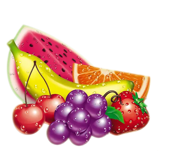
Colorful Assortment of Fresh Fruits -

Orange Cartoon Fish with Blue Fins -

Transparent Orange Cube in Vector Style -

Black Region Silhouette Map -

3D Globe Illustration of Earth Model -
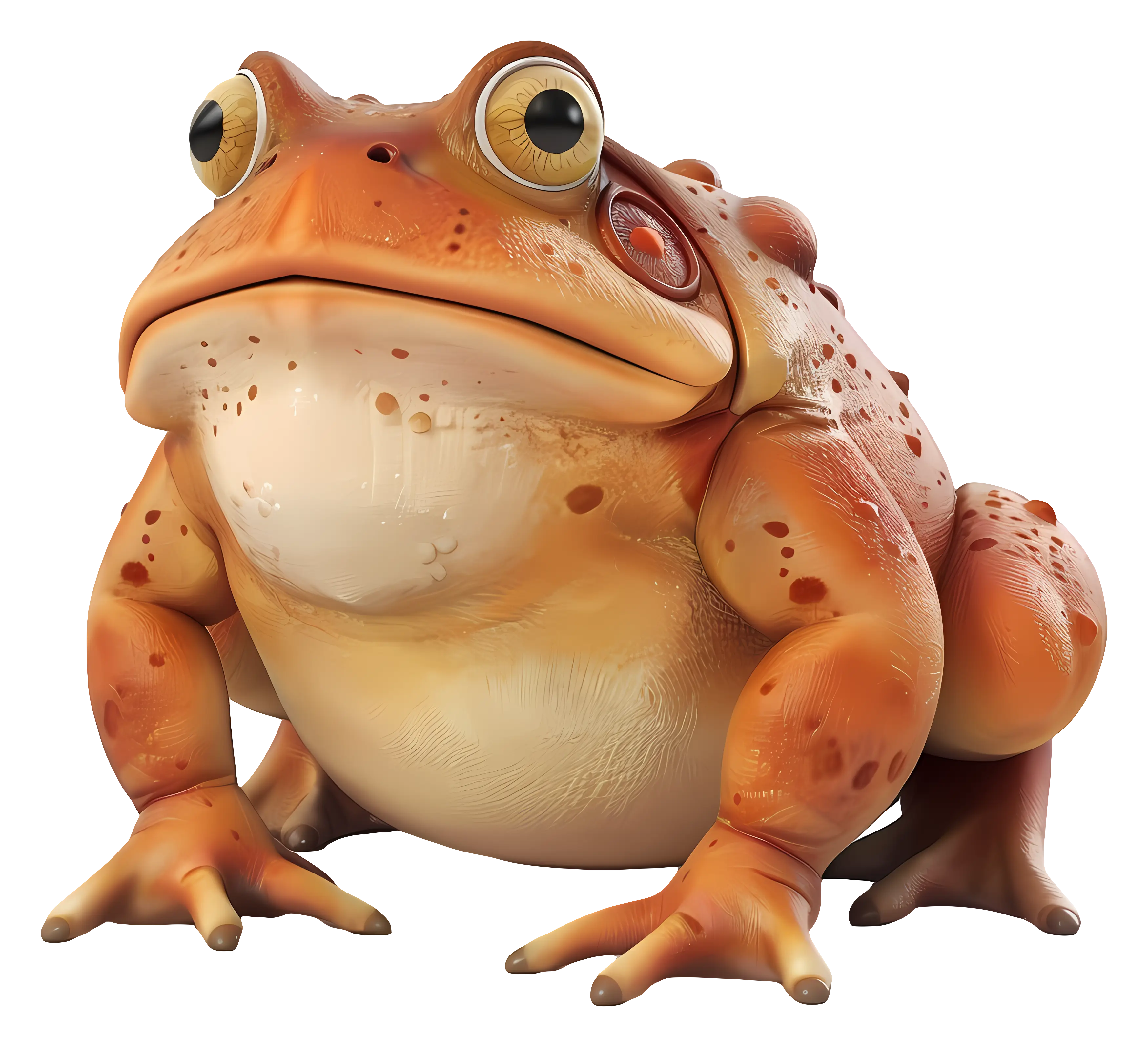
Cute Green Frog -

Green Land Map Outline -

Map Highlighting Specific Regions -

Abstract Orange Paint Splatter Design -

Microsoft Office Logo -

Map of Turkey with Major Cities and Regions -
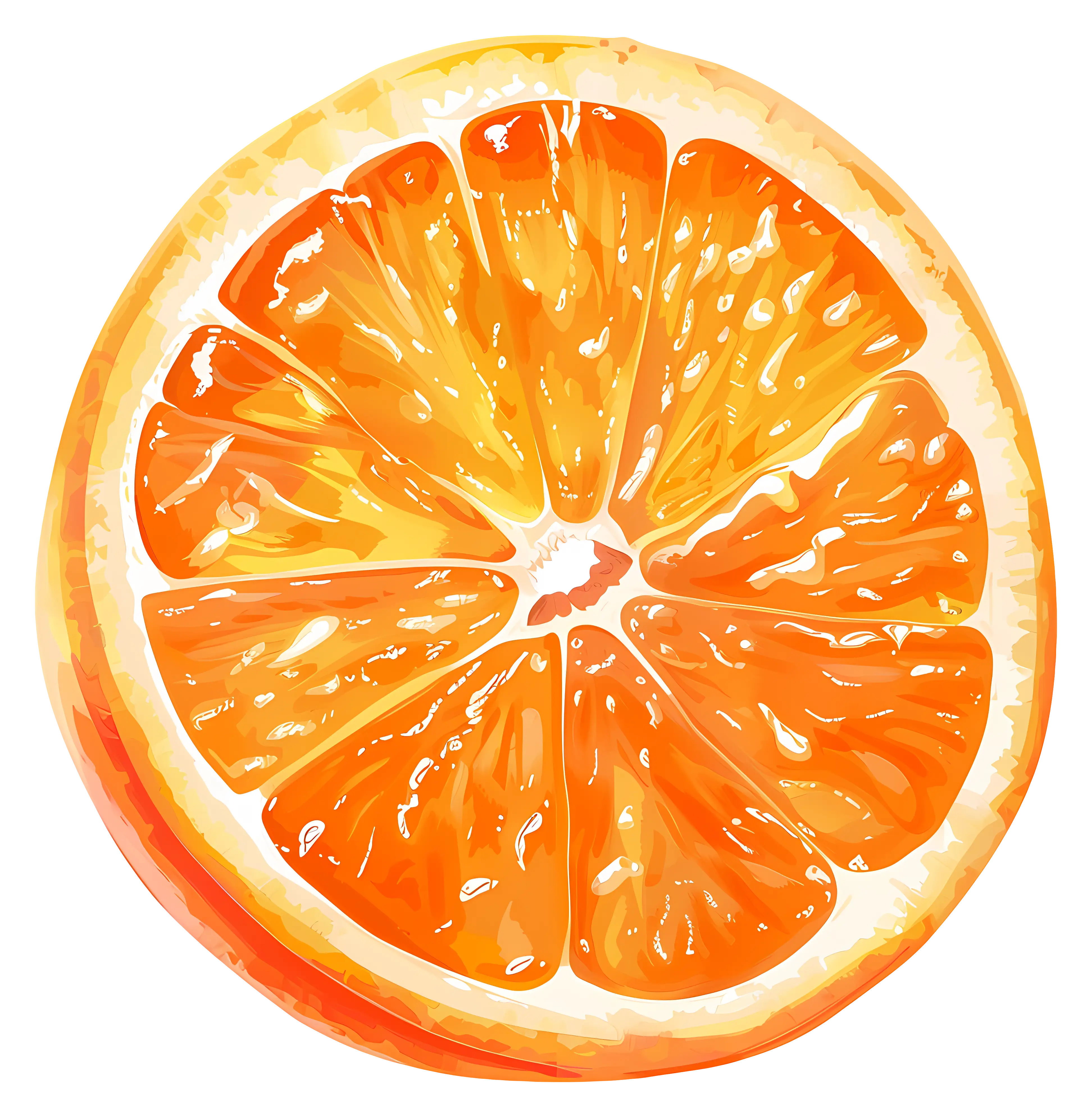
Juicy Orange Slice Illustration -

Yellow Sports Car with Sleek Design -

Cartoon Illustration of an Orange Dog -
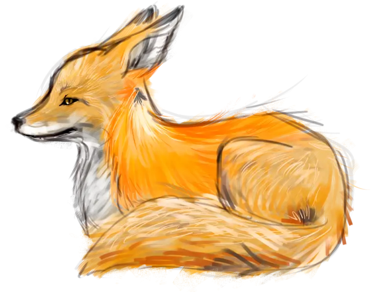
Illustration of an Orange Fox Sitting