You Might Like
-

Colored Regional Map of Africa -

Blue Globe with Continents Illustration -

Blue Globe Model for Geography Learning -

Map of the Soviet Union with Highlighted Regions -
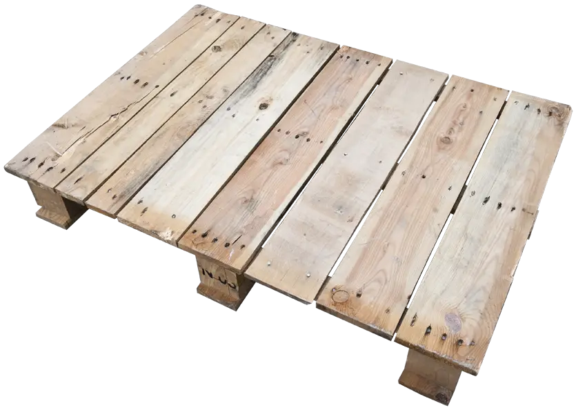
Wooden Pallet For Storage and Shipping -

Black Compass Rose for Navigation and Mapping -

Complete Blue World Map -
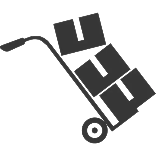
Hand Truck with Boxes for Easy Transport -
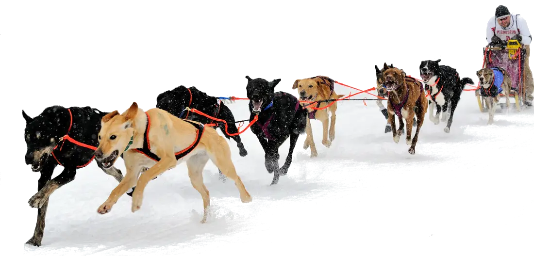
Dog Sledding in Snow -

Polar Bear Face Illustration -

Transportation Logistics with Global Shipment -

Black Region Silhouette Map -

Cardboard Box with Tape Illustration -

3D Globe Illustration of Earth Model -

Green Land Map Outline -

Cute Cartoon Penguin in Winter Attire -

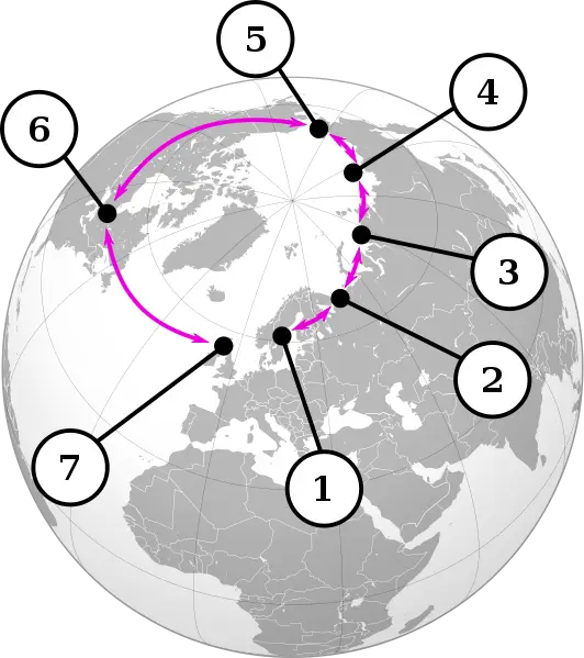
Map Highlighting Specific Regions -

Map of Turkey with Major Cities and Regions -

Soviet Emblem with Red and Yellow Design -

Transparent World Map Design -

Campground Map for Outdoor Adventures -

Simple Navigation Map -
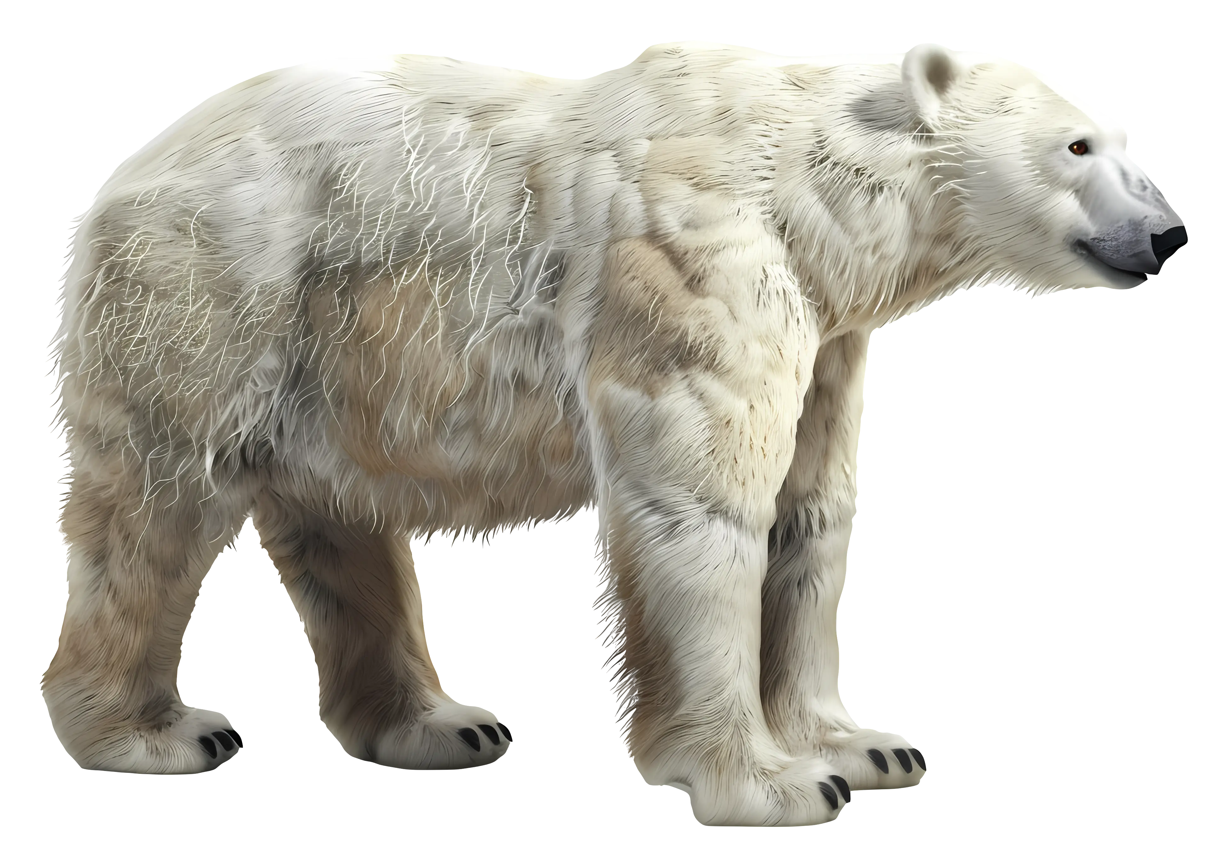
Realistic Polar Bear with White Fur -

Simple Igloo Illustration -

Map Outline of Slovenia -

Map of Russia with Red, White, and Blue Flag Colors -

Red Globe Pin Illustration -

Map of Vietnam -

Gray Map Silhouette on Transparent Background -

Colorful World Map Globe Representation