You Might Like
-
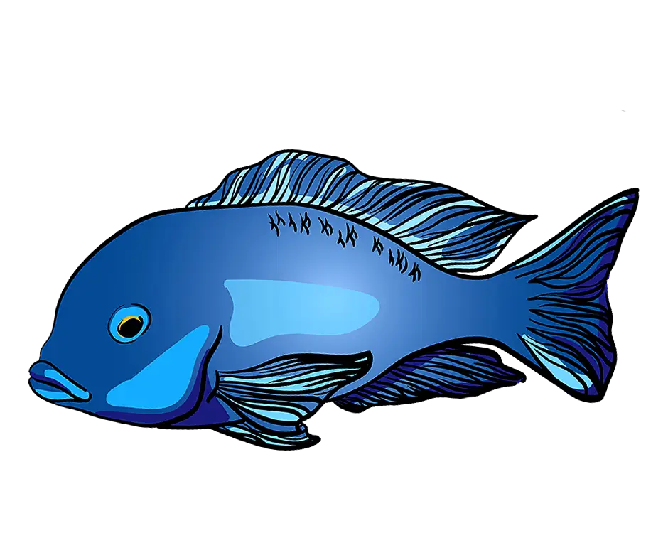
Blue Fish Graphic Illustration -

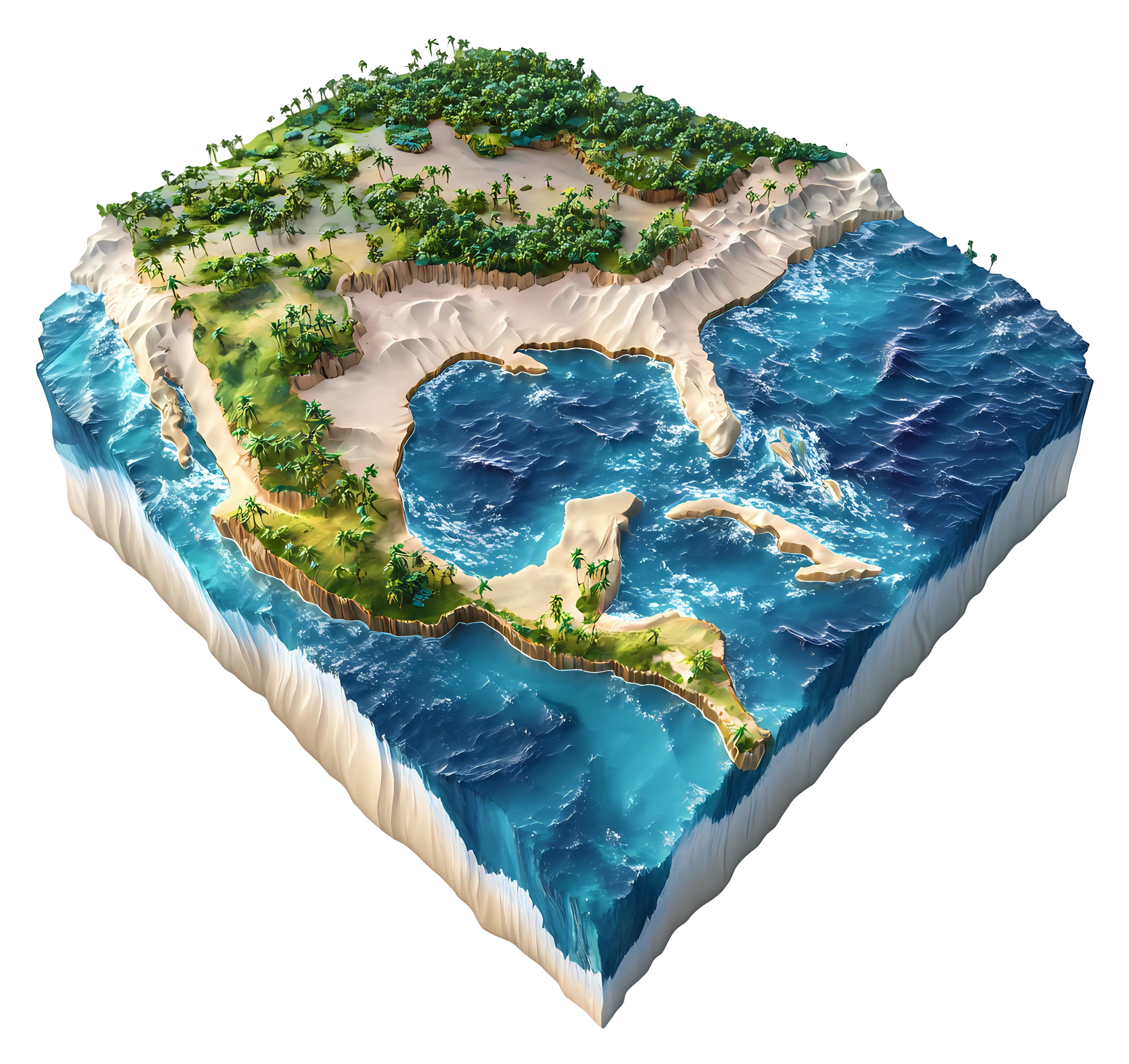
Colored Regional Map of Africa -
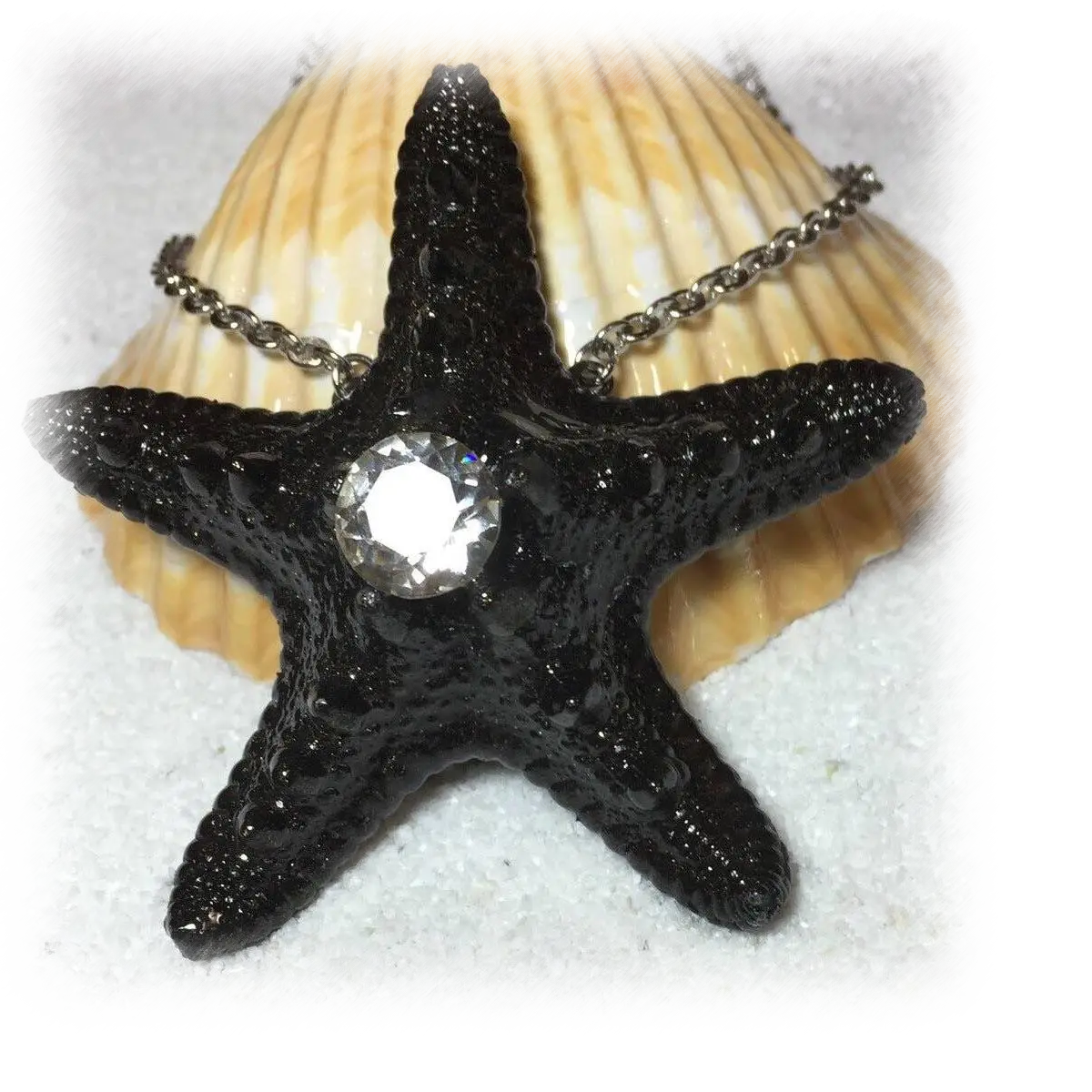
Black Starfish Necklace with Gem -

Black Wave Symbol -
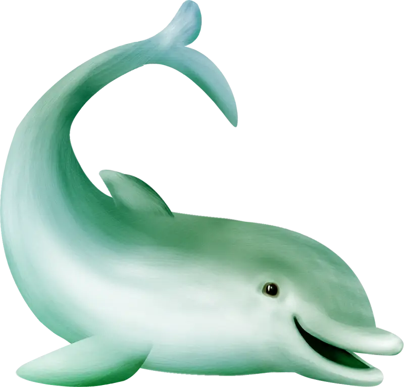
Cute Cartoon Dolphin Illustration -

Minimalistic Sea and Sky Logo -
Illustration of a Snowball -

Surfer Silhouette -
Playful Dolphins Jumping in Water -
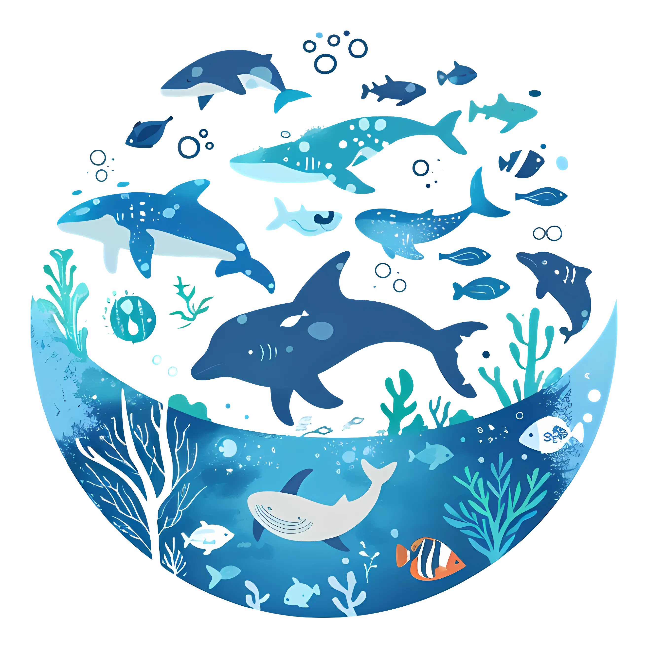
Vivid Marine Life in Underwater Illustration -

Blue Globe with Continents Illustration -

Blue Globe Model for Geography Learning -

Map of the Soviet Union with Highlighted Regions -

Man Paddleboarding Cartoon Illustration -

Isometric Illustration of a Modern Kitchen Layout -

Bright Red 10% Off Tag -
Sugar Island Coconut Rum Bottle -

Black Compass Rose for Navigation and Mapping -

Sad Yellow Emoticon with a Ball Shape -

Yellow Smiley with Shoes -

Silver 3D Number Zero Symbol -
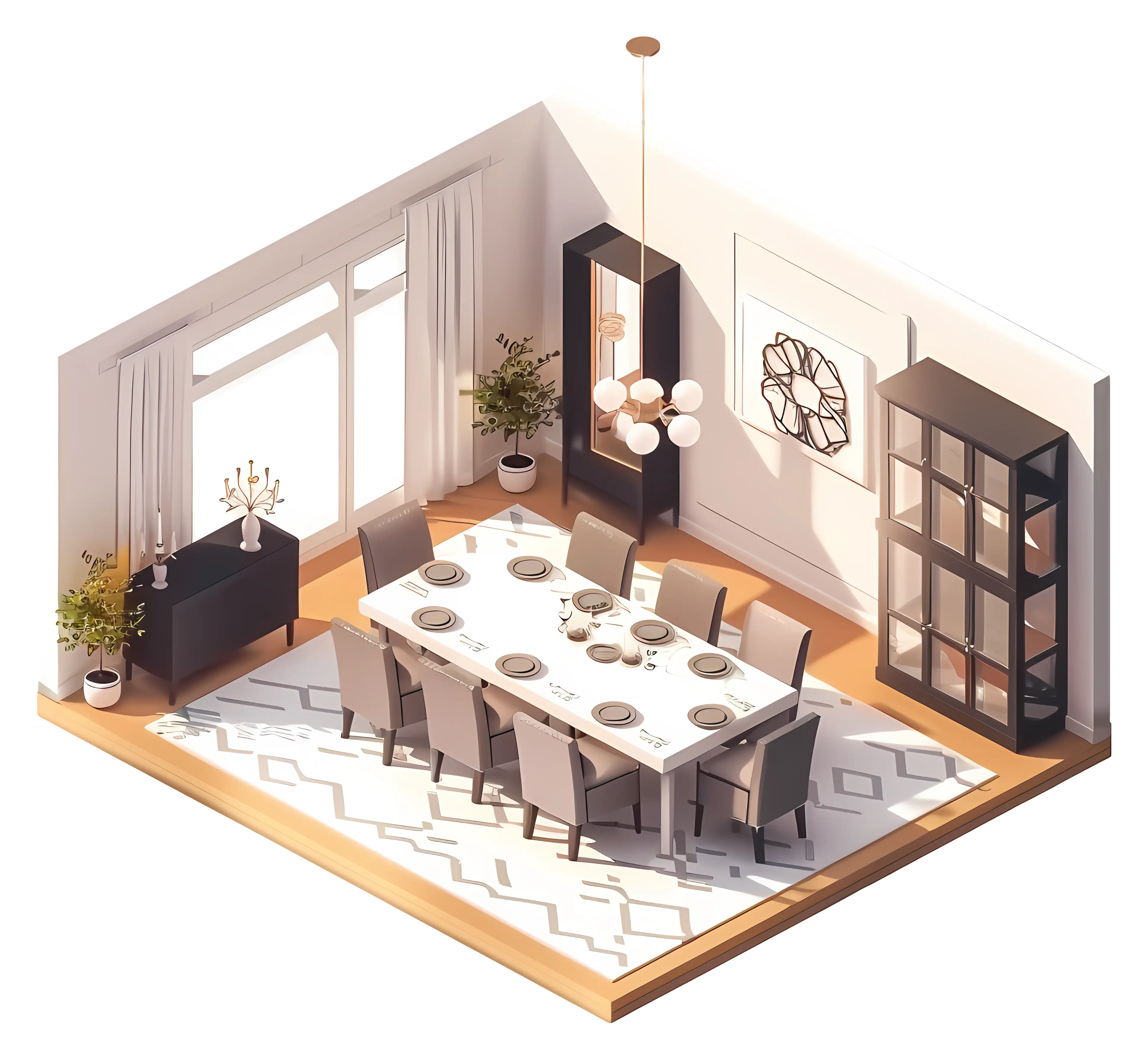
Elegant Dining Room Interior with Modern Furnishing -

Complete Blue World Map -
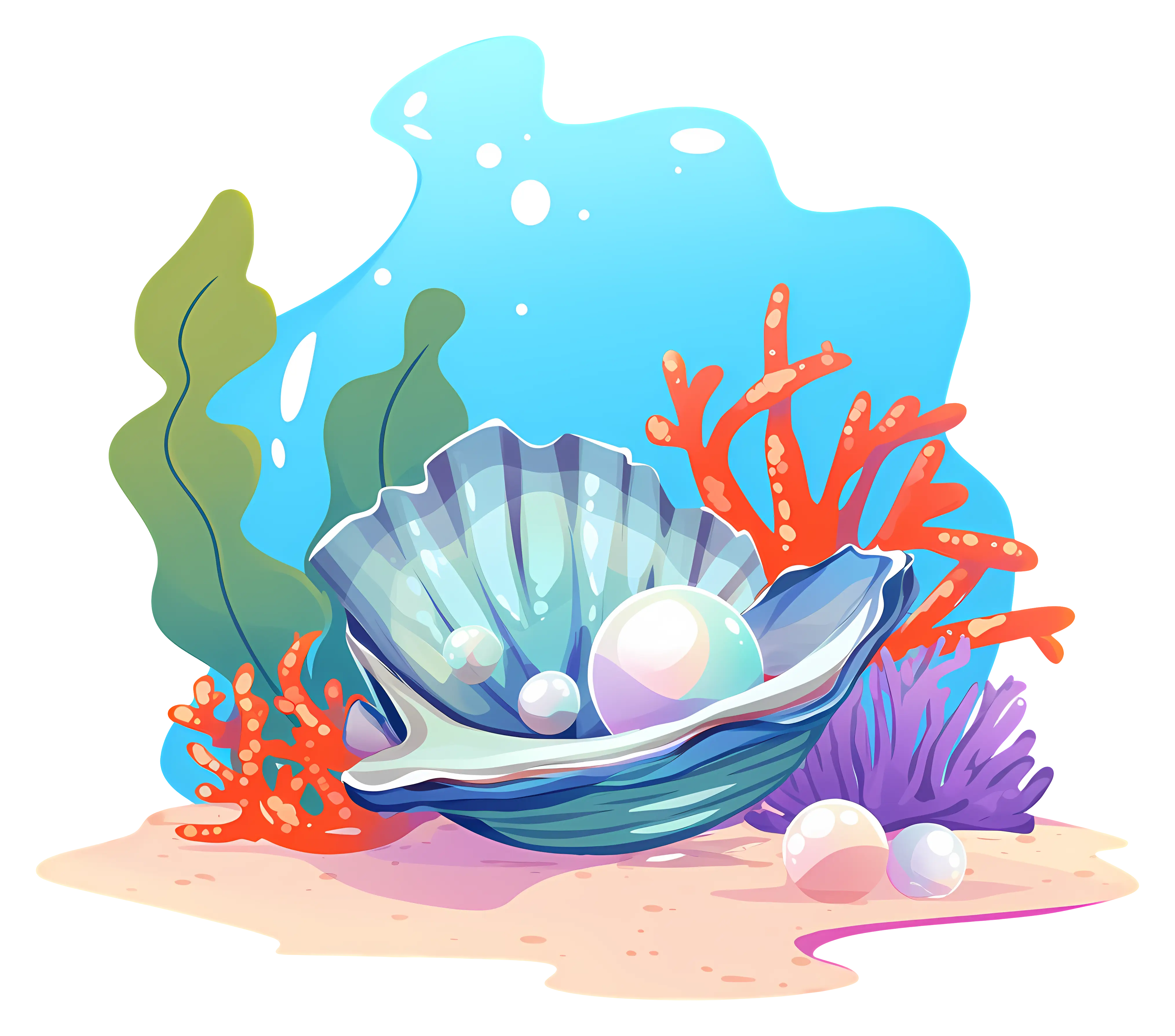
Underwater Pearl in Seashell Illustration -
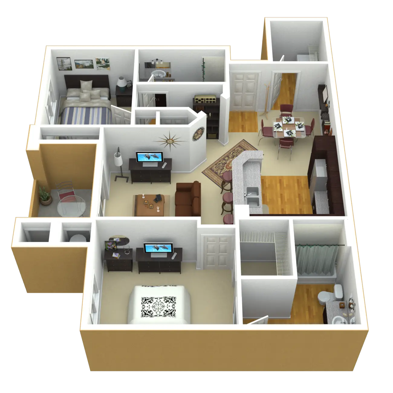
3D Apartment Layout Design -
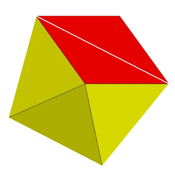
Red and Yellow Geometric Polygon Illustration -

Black Region Silhouette Map -

Smiling Orange Star Cartoon Artwork -

Golden Letter A -
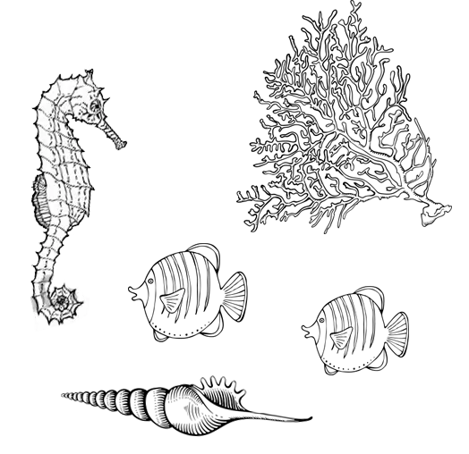
Illustration of Sea Creatures