Free Continent Cliparts and Illustrations
Free 47 continent cliparts & illustrations for your personalized works, such as north america köppen climate classification map, globe illustration showing north america, colored regional map of africa, outline map of africa and many more.
-
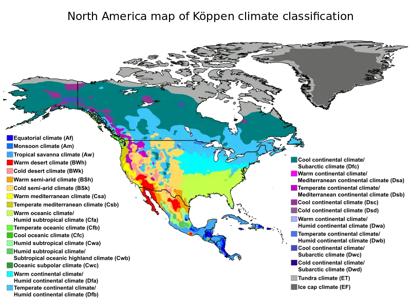
North America Köppen Climate Classification Map -
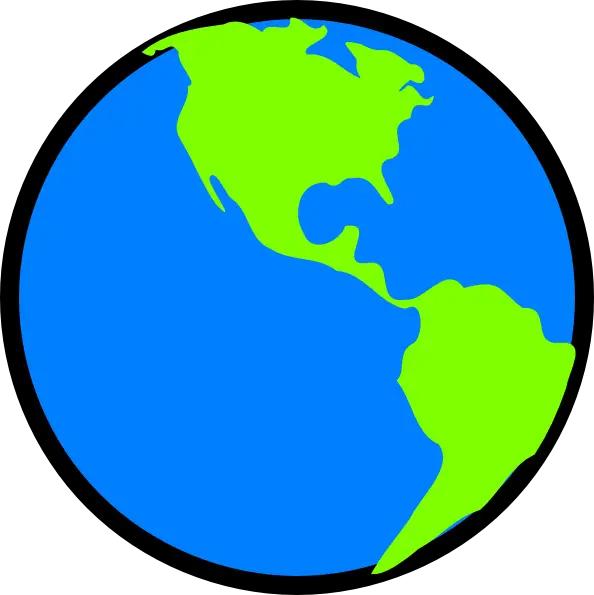
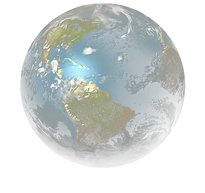
Globe Illustration Showing North America -

Colored Regional Map of Africa -

Outline Map of Africa -

Africa Map Outline with Geometric Patterns -
South America Map with Green Region Highlight -
Artistic Africa Map -

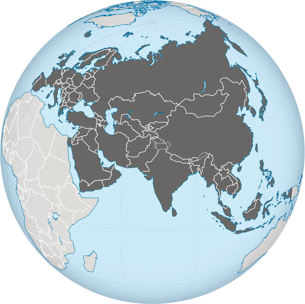
Blue Globe Illustration Highlighting Asia and Australia -
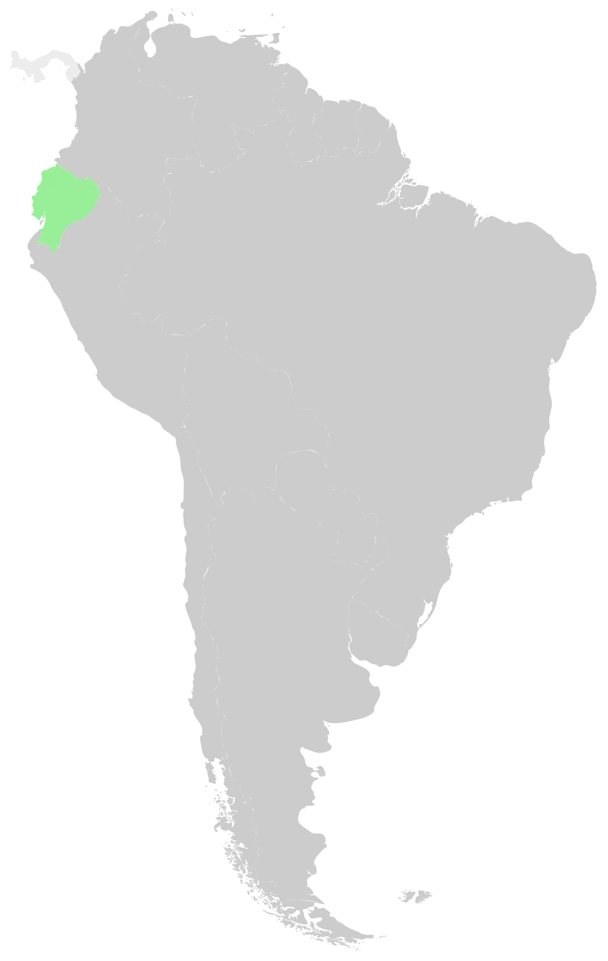
Map of South America Highlighting Ecuador -
Map of Australia -

Outline Map of Australia -
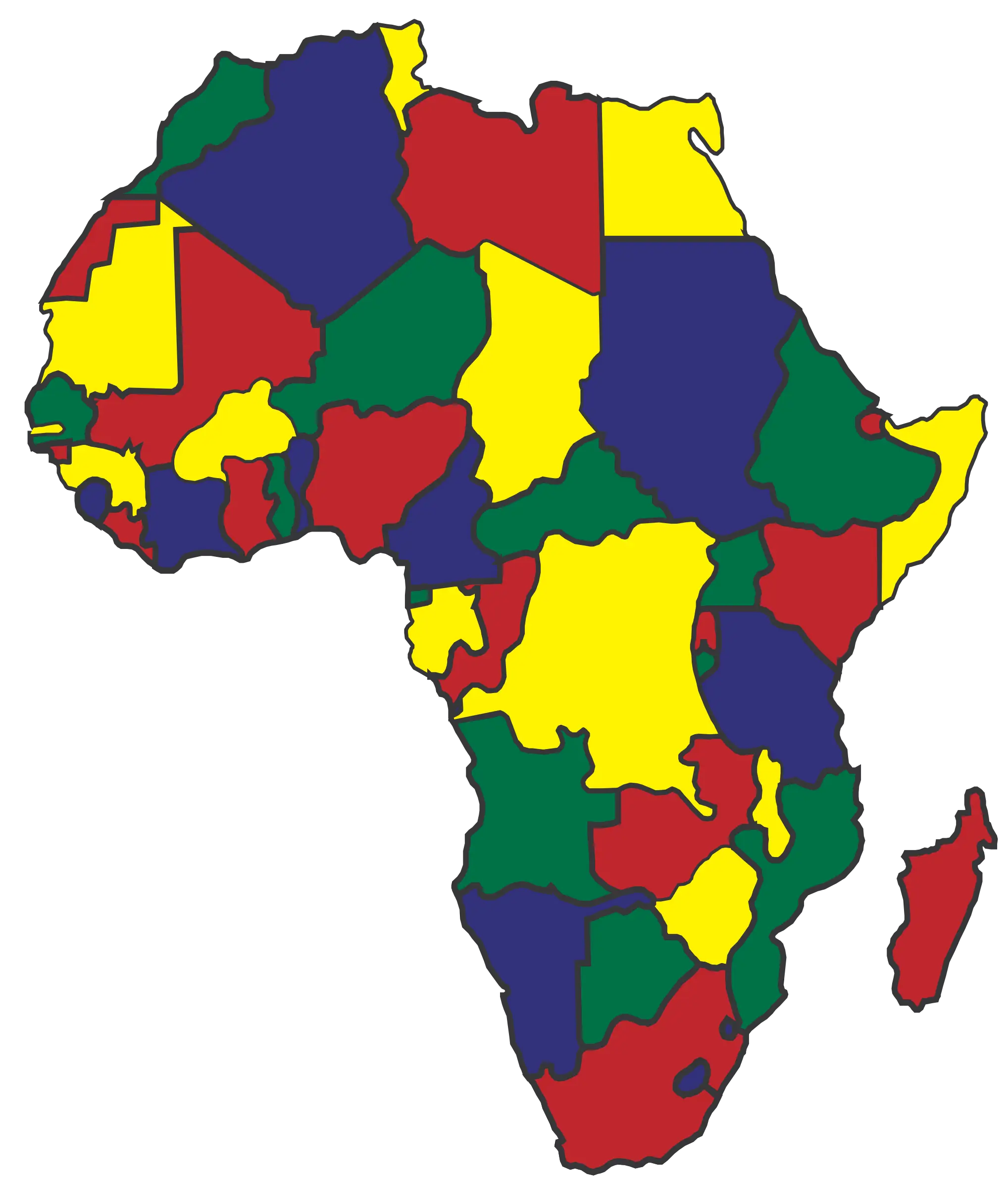
Color-coded Map of Africa with Boundaries -
Outline and Region Illustration of Australia Map -
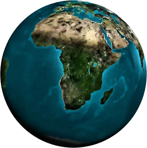
Realistic Earth Globe Showing Africa -
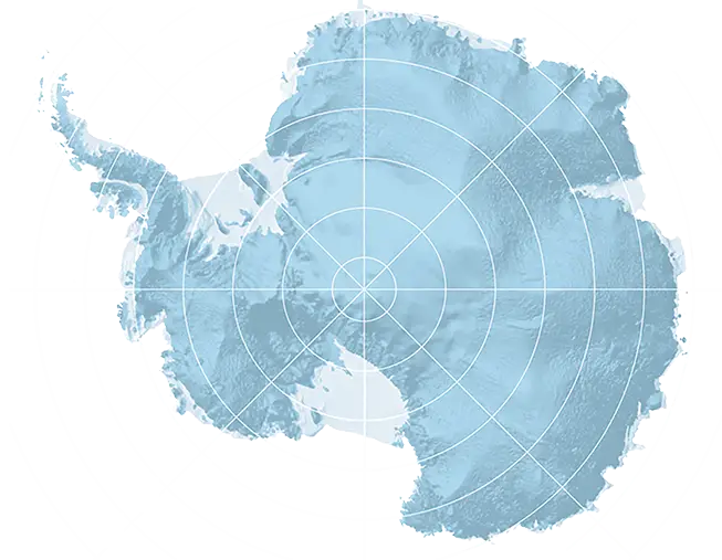
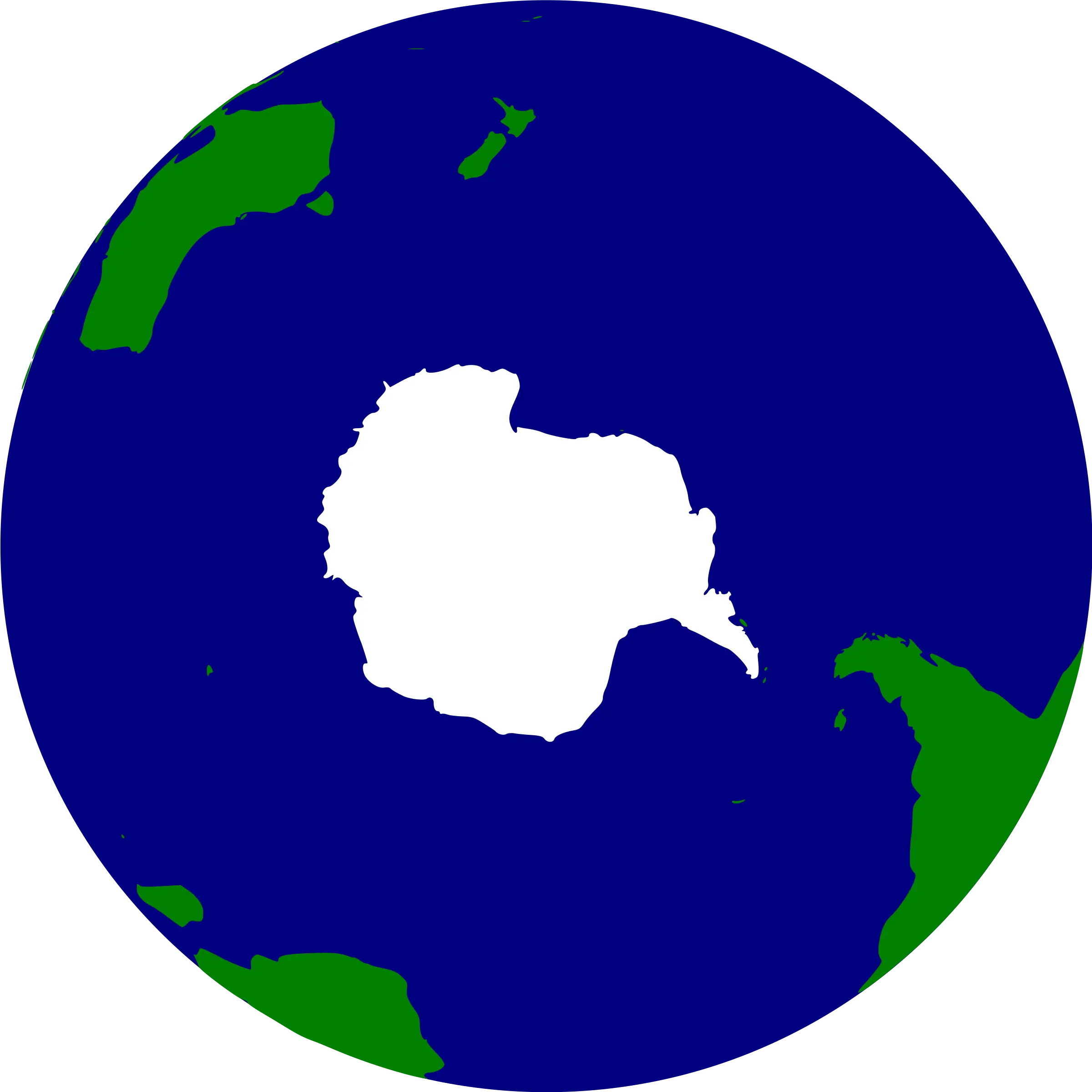
Antarctica Map -
Bright Earth Illustration Showing Continents -
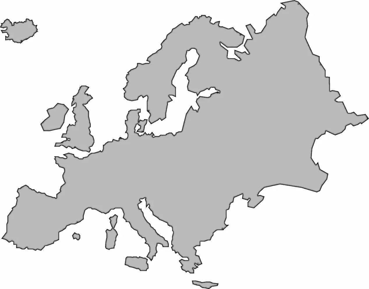
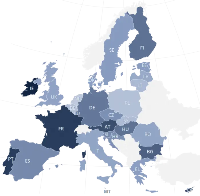
Blank Map of Europe -
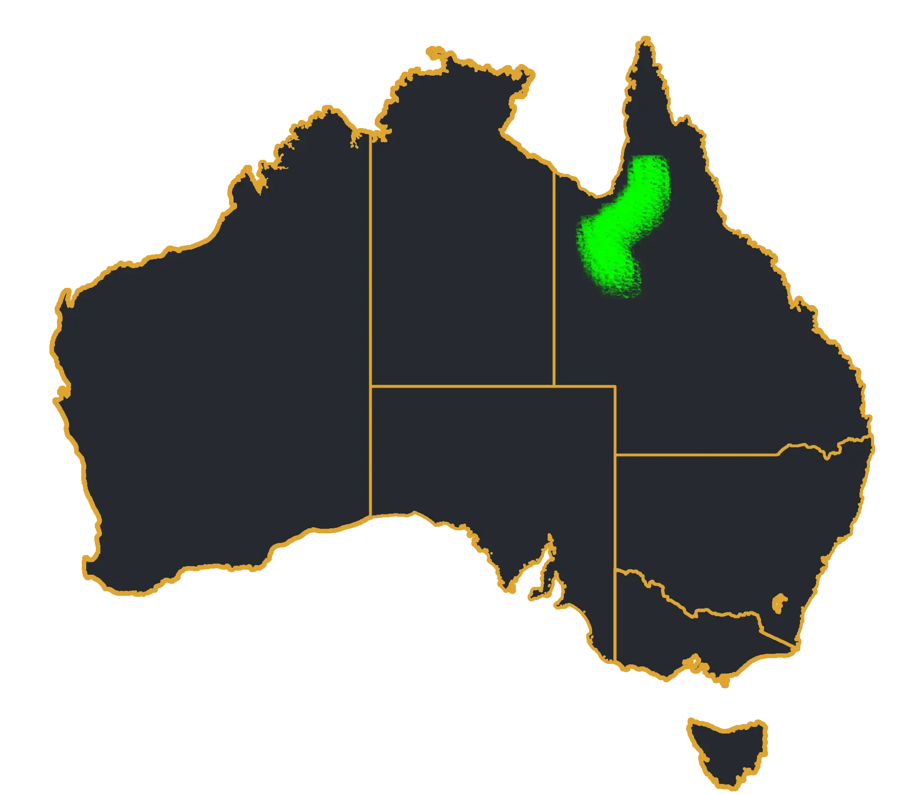
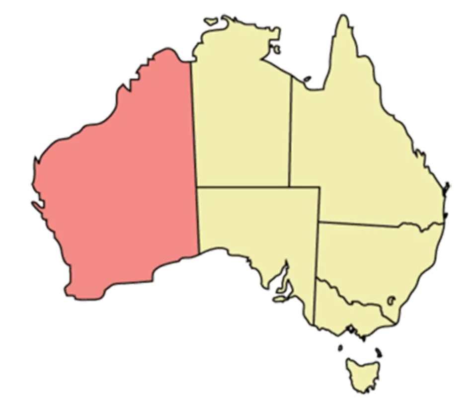
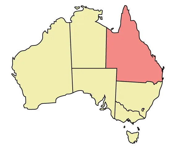
Australia Map with Highlighted Region -
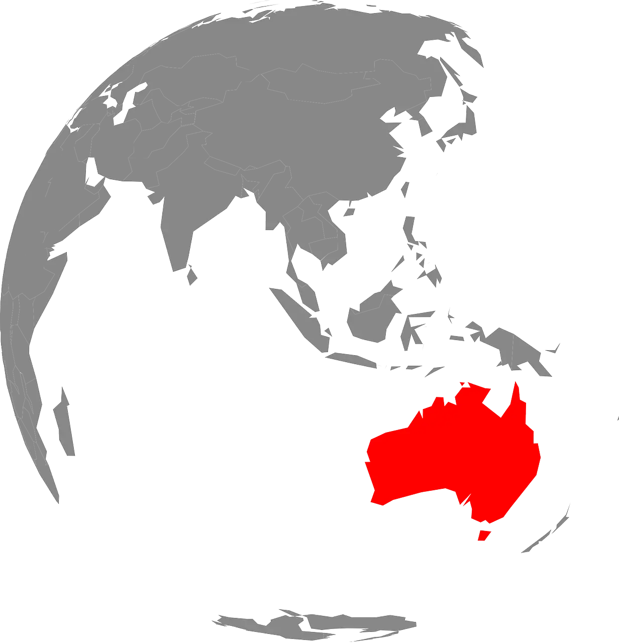
Australia Highlighted on Globe -
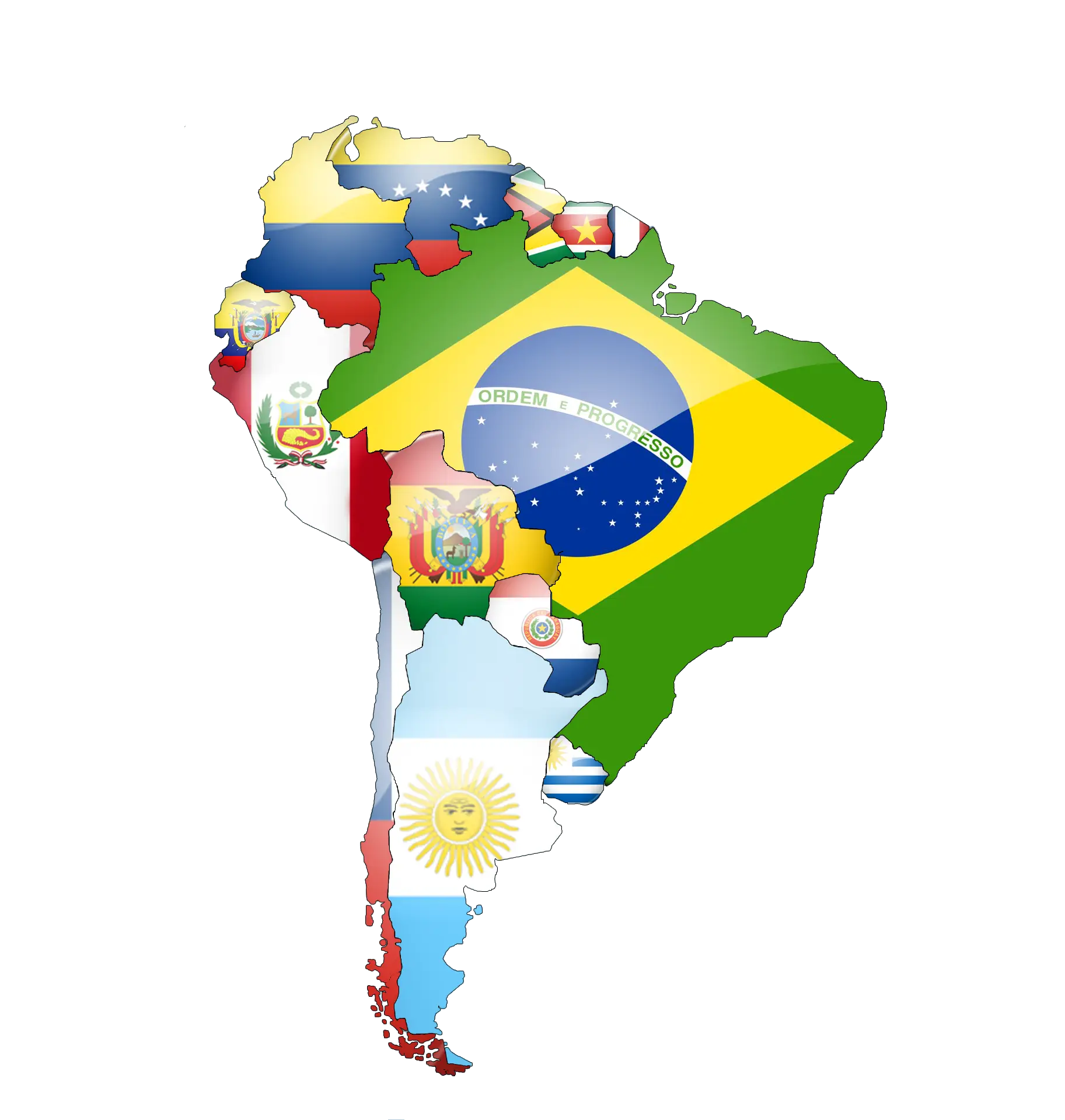
Map of South America Featuring Country Flags -

Cartoon Globe Illustration with Continents -

Outline of Africa Map -

Outlined Map of Australia -

Black and White Globe Design -
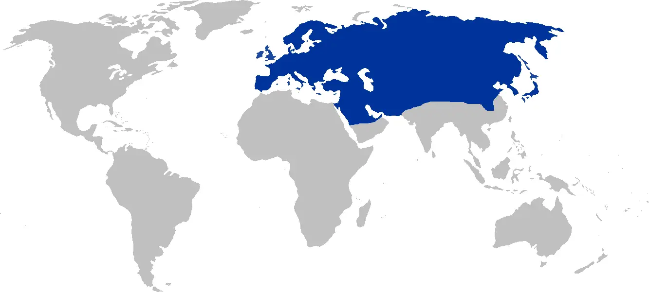
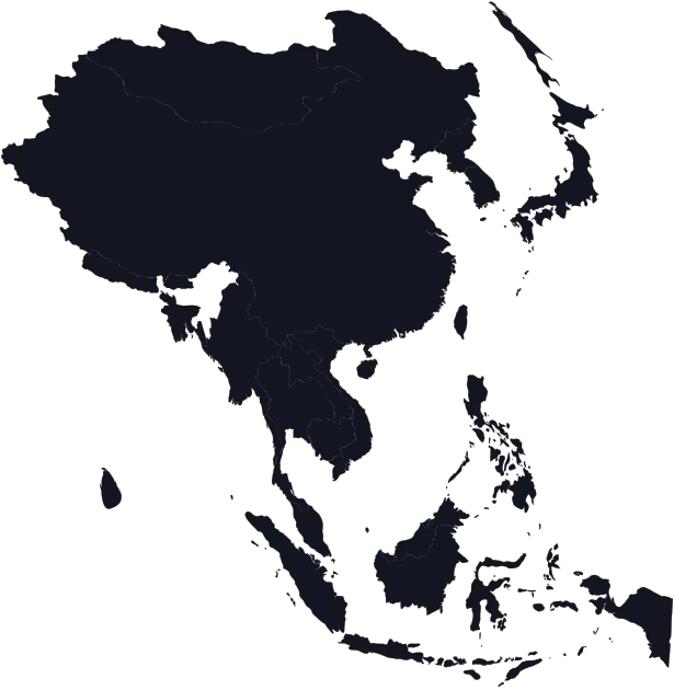
Eurasia Region World Map -
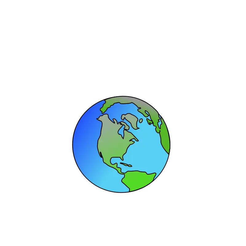
Illustration of the Earth Globe -
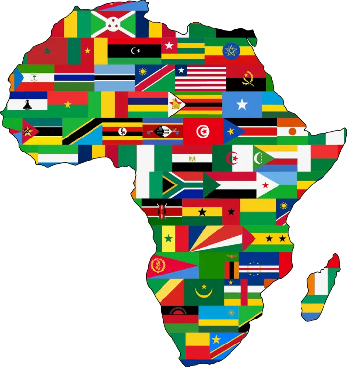
Africa Map with National Flags -
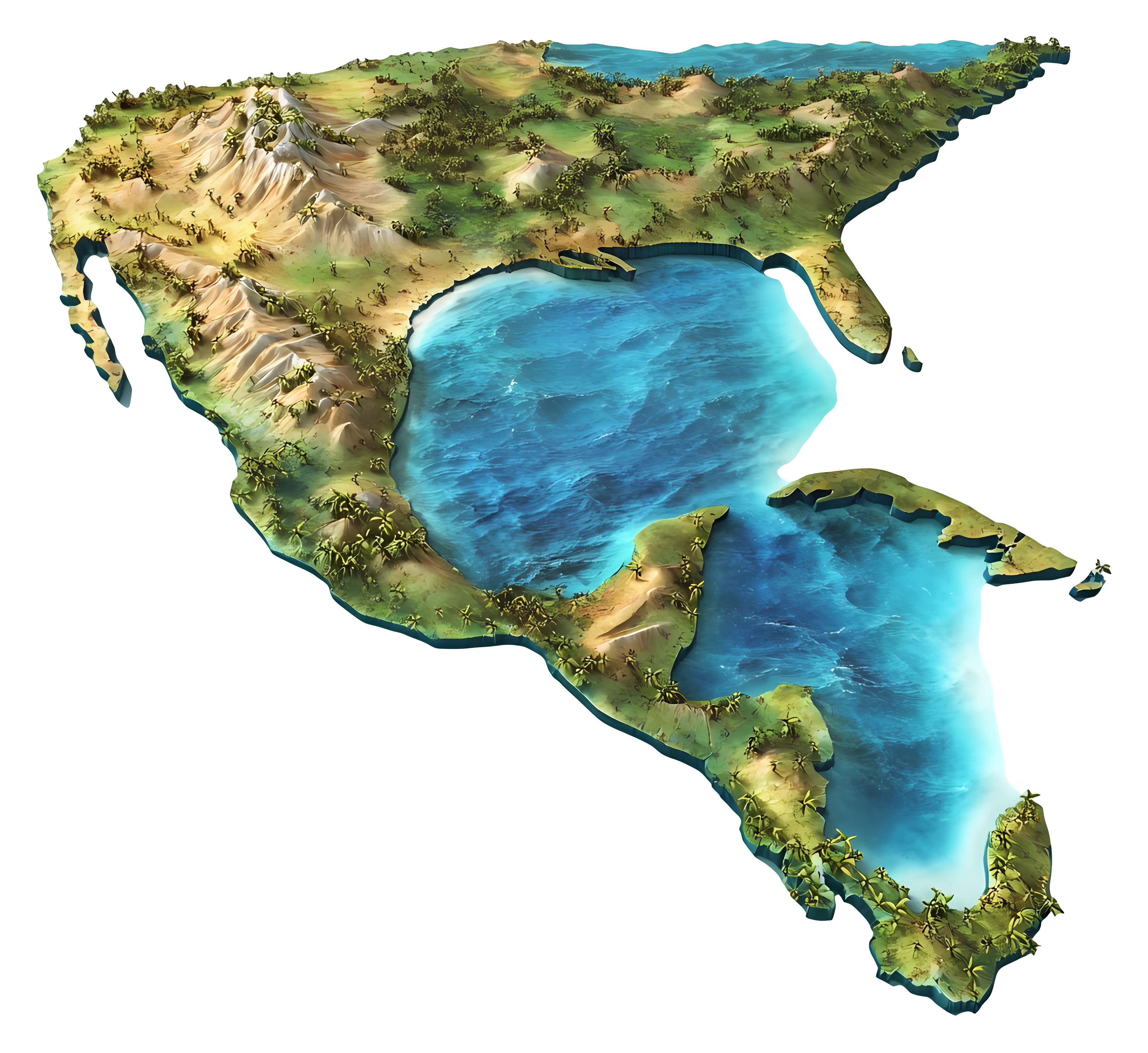
Fantasy Map with Lakes and Mountains -
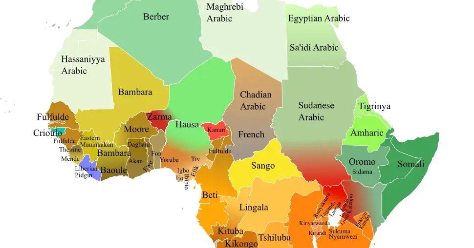
Language Distribution Map of Africa -
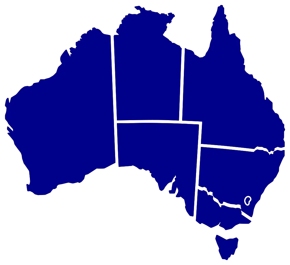
Blue Map of Australia -

Map of Latin America -
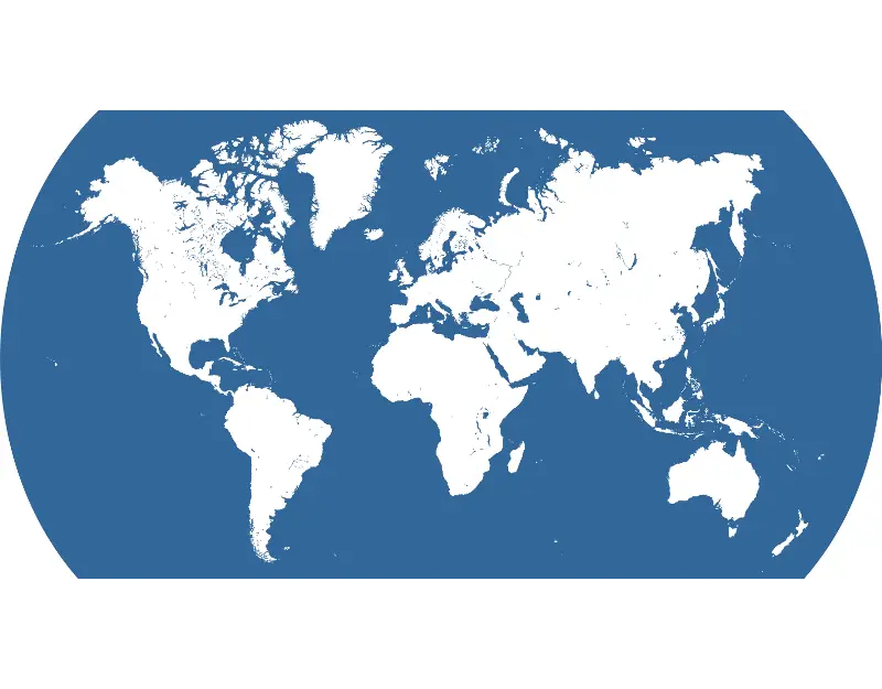
World Map with Blue and White Design -
3D Map of a Continent -
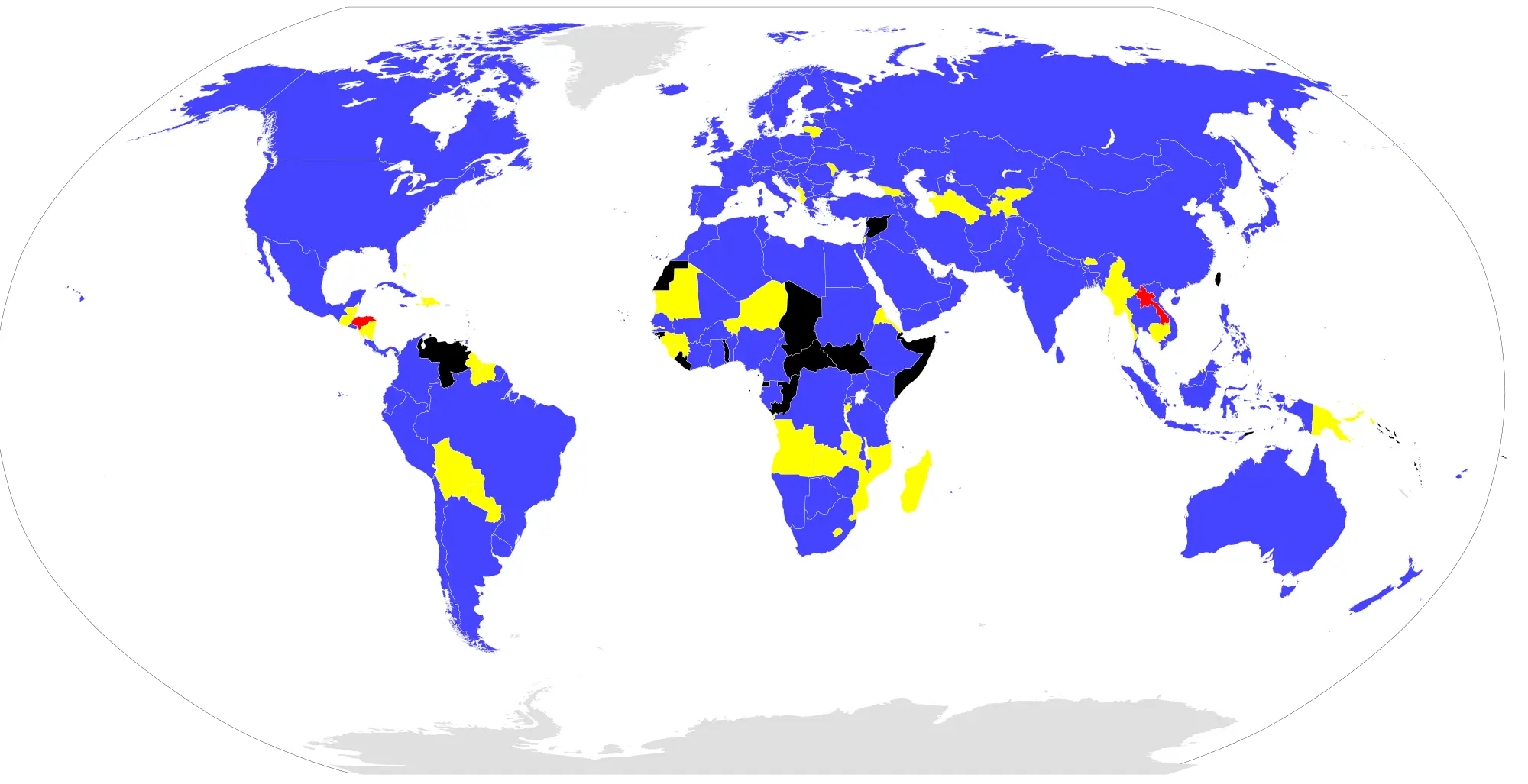
World Map with Colored Regions -
Planet Earth Illustration Highlighting Geography -

Earth Globe Illustration -
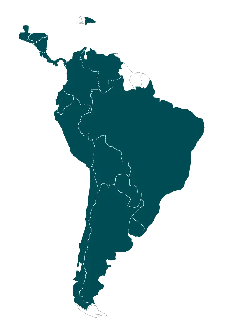
Map of South America Illustration -
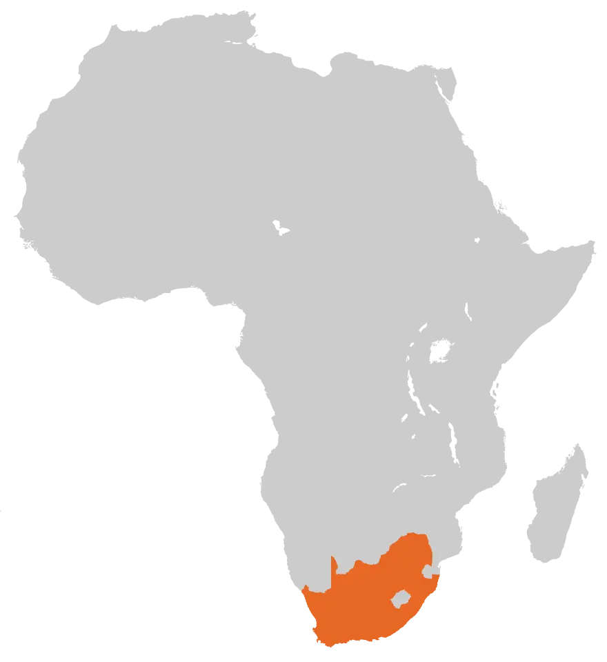
Map of Africa Highlighting South Africa -
Asia-Centered Globe Representation -

Africa Map with Integrated Soccer Ball Graphic -
Map of Antarctica -
Map of Europe Illustration -
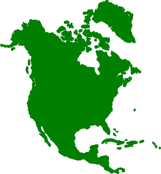
Green Map of North America -

Africa Continent Outline Map -

Golden Globe Symbol with Africa Perspective -
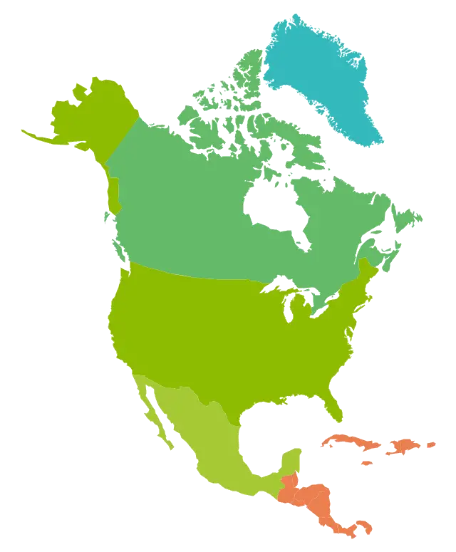
Colorful Map of North America with Countries and Regions -
Black Outline Map of Asia